카스바흐-올렌베르크 최고의 러닝 경로
4.5
(911)
12,012
달리기 하는 사람
463
러닝
카스바흐-올렌베르크에서 하이킹하며 뉴위드 구석 부분까지 살펴볼까요? 카스바흐-올렌베르크에 있는 모든 하이킹 및 워킹 경로 컬렉션 중 가장 멋진 하이킹 경로를 엄선하여 소개해드릴게요. 다른 하이커가 공유한 실제 팁과 사진을 살펴보고 후기를 읽으며 마음에 드는 카스바흐-올렌베르크 워킹 경로를 찾아보세요.
마지막 업데이트: 10월 27, 2026
4.5
(4)
73
달리기 하는 사람
47.8km
05:01
240m
240m
어려운 조깅. 우수한 체력 필요. 대부분 포장된 노면.
3.4
(5)
68
달리기 하는 사람
12.7km
01:19
80m
80m
보통 조깅. 좋은 체력 필요. 대부분 포장된 노면.

4.5
(11)
39
달리기 하는 사람
7.14km
00:48
80m
80m
보통 조깅. 좋은 체력 필요. 대부분 포장된 노면.
5.0
(5)
78
달리기 하는 사람
9.82km
01:01
30m
30m
보통 조깅. 좋은 체력 필요. 대부분 포장된 노면.
38
달리기 하는 사람
9.42km
01:00
20m
20m
보통 조깅. 좋은 체력 필요. 대부분 포장된 노면.
더 다양한 경로와 다른 탐험가들의 추천을 살펴보세요.
이미 komoot 계정이 있나요?
투어 추천은 다른 사람들이 komoot에서 완료한 수천 개의 활동을 바탕으로 구성되어 있습니다.
오늘 무료 계정으로 시작하세요
다음 모험이 기다리고 있어요.
커뮤니티 팁

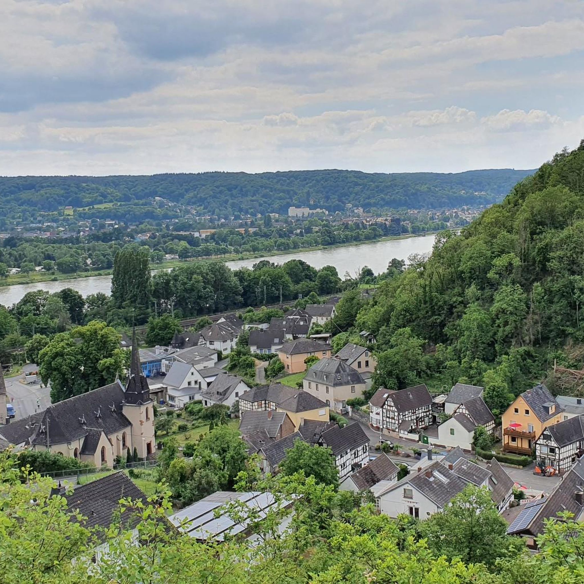
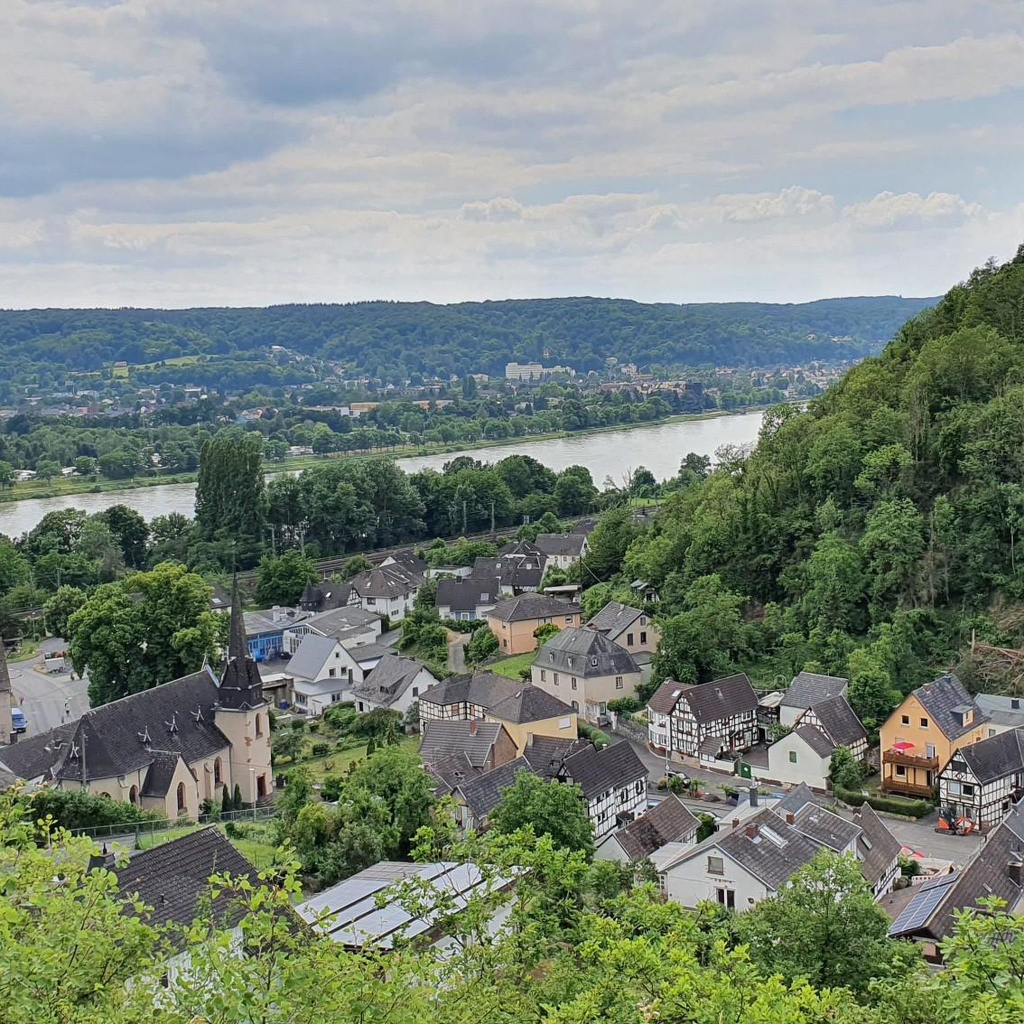
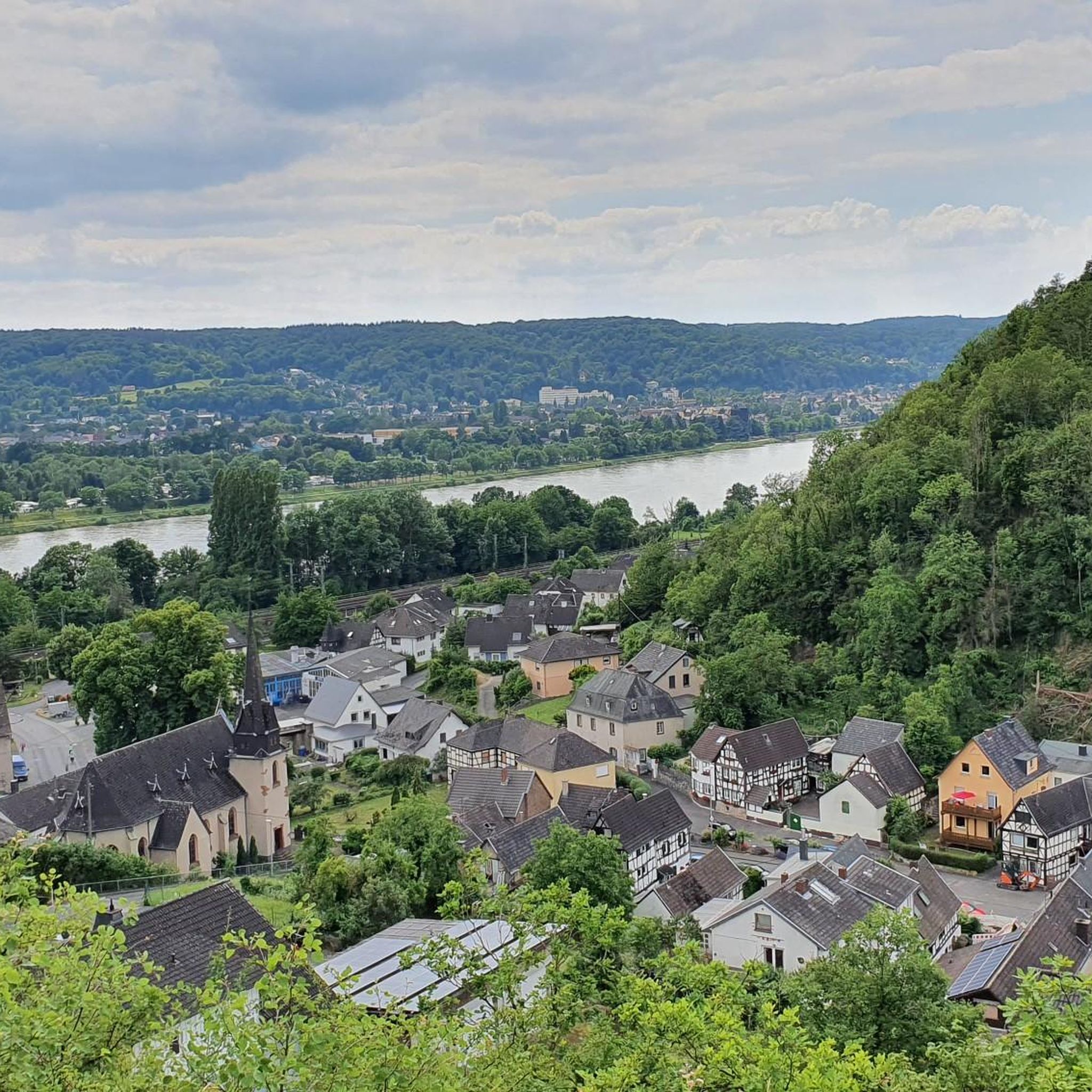
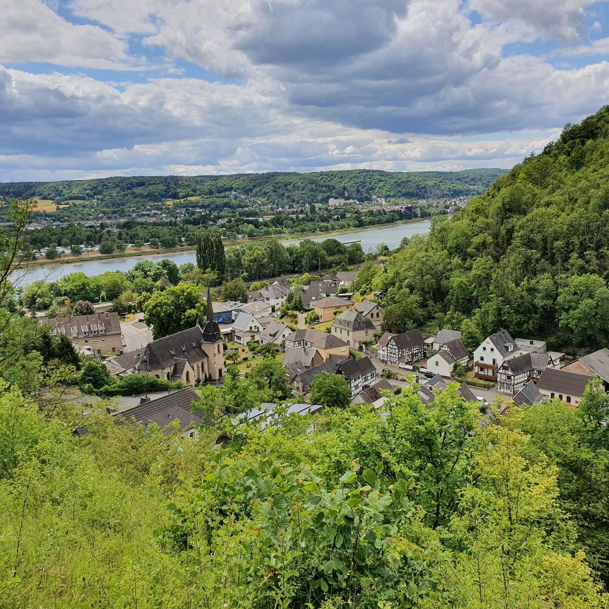
이름에 „Ley“라는 구성 요소가 포함된 많은 (전망) 지점과 마찬가지로, 그 명칭은 (단어의 기원에서) 기반암으로서의 점판암을 나타냅니다. 지질학적으로 볼 때 우리가 „Rheinische Schiefergebirge“(라인 점판암 산맥)에 있다는 점을 고려할 때, 해당 „Ley“ 지점의 수가 놀라운 것은 아니지만, 이 지점에서 점판암을 찾을 수 없고 현무암 바위 위에 서 있다는 사실은 매우 놀랍습니다.
2
0

The Chapel of St. John the Baptist was built between 1708 and 1712 by Ferdinand Friedrich Gamans, a canon from Cologne, and Johann Hellings, the bailiff and steward of the Arenfels estate. In a school document for the widow Gamans, a number of Arendorf citizens attest that they received 100 Reichsthaler and "actively used it for the construction of their newly built chapel." The oil painting is a gift (1825) from Ludwig von Lorch to the chapel in Arendorf. In 1980, the chapel was renovated as part of a redesign of the village square. A further extensive renovation of the chapel and a redesign of the chancel took place in 2008. The chancel contains the cross from the former branch church (built in 1957 and demolished in 2009). The modified altar table and the tabernacle also originate from the branch church.
1
0

A really great view of the Siebengebirge 🦊🍀
9
0


The small gauge tower, located northwest of the village of Ariendorf on a strip of shore directly adjacent to Federal Highway 42, is one of the few technical monuments to Rhine navigation and water level measurement in the Middle Rhine region. It was built in 1900 as part of a newly structured gauge measurement system, along with a whole series of similar towers, according to plans by the Koblenz Waterways Inspectorate, as evidenced by the keystone above the entrance. The gauge was a so-called recording gauge, which continuously recorded the water level.
0
0

One of the few technical monuments to Rhine navigation. Built in 1900, it was declared a protected monument on its 100th anniversary.
3
0
카스바흐-올렌베르크 주변에서 가장 인기 있는 명소


더 살펴보기
다른 지역의 최고의 러닝 트레일 & 경로를 살펴보세요.
