에르펠 최고의 러닝 경로
4.9
(36)
326
달리기 하는 사람
19
러닝
에르펠에서 하이킹하며 뉴위드 구석 부분까지 살펴볼까요? 에르펠에 있는 모든 하이킹 및 워킹 경로 컬렉션 중 가장 멋진 하이킹 경로를 엄선하여 소개해드릴게요. 다른 하이커가 공유한 실제 팁과 사진을 살펴보고 후기를 읽으며 마음에 드는 에르펠 워킹 경로를 찾아보세요.
마지막 업데이트: 10월 13, 2026
4.5
(4)
73
달리기 하는 사람
47.8km
05:01
240m
240m
어려운 조깅. 우수한 체력 필요. 대부분 포장된 지면. 실력과 관계없이 누구나 갈 수 있음.
5.0
(5)
78
달리기 하는 사람
9.82km
01:01
30m
30m
보통 조깅. 좋은 체력 필요. 대부분 포장된 지면. 실력과 관계없이 누구나 갈 수 있음.

5.0
(1)
16
달리기 하는 사람
15.6km
01:37
50m
50m
어려운 조깅. 우수한 체력 필요. 대부분 포장된 지면. 실력과 관계없이 누구나 갈 수 있음.
5.0
(2)
9
달리기 하는 사람
3.09km
00:19
20m
20m
초급용 러닝. 모든 체력 수준에 적합. 대부분 포장된 지면. 실력과 관계없이 누구나 갈 수 있음.
12
달리기 하는 사람
5.01km
00:31
40m
40m
보통 조깅. 좋은 체력 필요. 대부분 포장된 지면. 실력과 관계없이 누구나 갈 수 있음.
더 다양한 경로와 다른 탐험가들의 추천을 살펴보세요.
이미 komoot 계정이 있나요?
투어 추천은 다른 사람들이 komoot에서 완료한 수천 개의 활동을 바탕으로 구성되어 있습니다.
오늘 무료 계정으로 시작하세요
다음 모험이 기다리고 있어요.

커뮤니티 팁

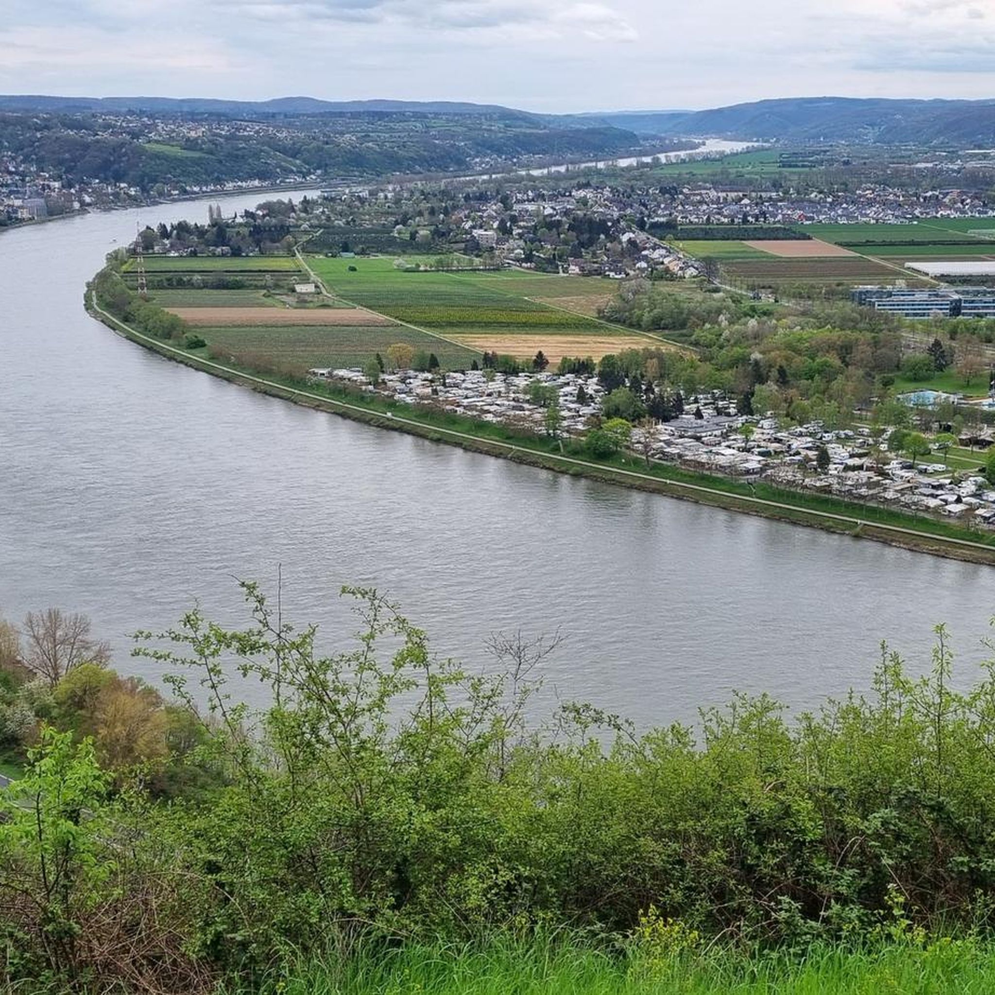
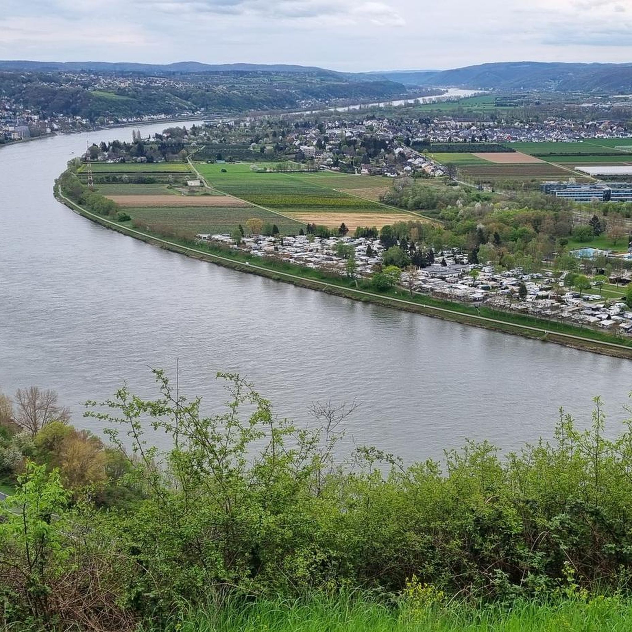
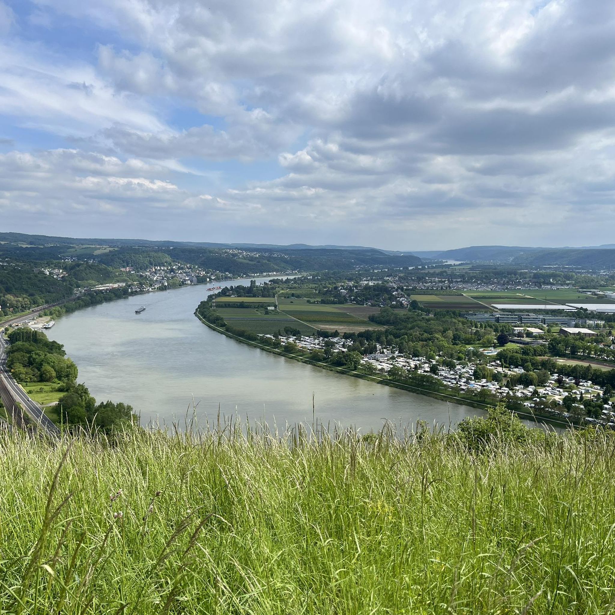
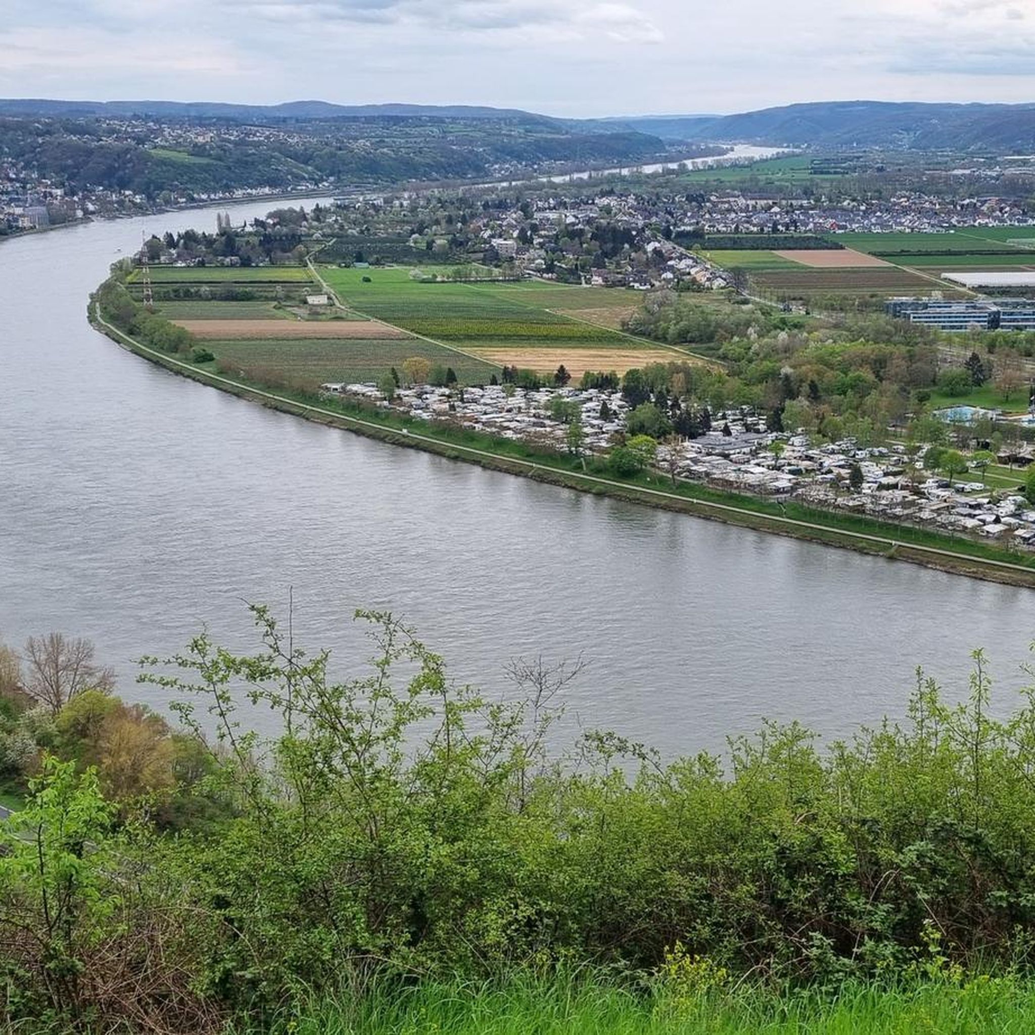
A really great view of the Siebengebirge 🦊🍀
9
0


🌳It's lovely to unwind here🌳, a beautiful, long, well-maintained avenue that offers a changing view in every season🌿🍁, and to watch the ships passing by on the Rhine🚢🛟 right next to the avenue🌳. 🌳📸Great photo opportunities guaranteed📸🌳
2
0


Not a pretty view, but still a nice recreational area 🤙
2
0


In memory of the 140 Austrian soldiers who died of "hospital fever" (typhus) in Rheinbreitbach in 1793 and were buried in a mass grave.
2
0

<< Stuxberg · Unkeler Falte >> "In geology, folding refers to both the process of fold formation itself and the folded rock forms created as a result. During folding, layers of rock are formed by pressure from outside, here in Unkel the collision of the ancient continents Laurussia and Gondwana around 350 million years ago , mostly deformed in a wave shape. The highest point of a fold is called a saddle, the lowest point is called a trough, with the fold legs in between. The Unkeler Fold is a saddle in which the layers on the north side are steep or overturned. On the south side, the layers dip gently to the southeast and form the clearly visible steep wall of sedimentary rock. These are inclined layers that form when sand is deposited under flowing water. The sand is transported to the side facing away from the flow and poured down there so that it forms thin layers that slope diagonally in the direction of flow. Dune-like sand formations with flat rises and steep slopes are created, as we know them from deserts. But how do such inclined stratification bodies, which are quite typical of the deposits of a shallow sea near a river delta, where the flow intensity and direction constantly change, come to Unkel? Quite simply, Unkel was located 400 million years ago, near a coast, in the middle of a shallow sea. The special feature of the place: sediments and sedimentary rocks, also known as depositional rocks or stratified rocks, are created by the deposition of material on land and in the sea. Layering caused by material changes is characteristic of sediments. A layer formed the earth's surface for at least a short time. Furthermore, sedimentary rocks are the only rocks that can contain fossils. The Stuxberg is a classic discovery site for fossils from the Rhenish Devonian, where an approximately 10 cm thick layer of fossils produces numerous species of mussels, snails and crustaceans. A special feature are the brachiopods, so-called brachiopods, which were found in large numbers in the layer. One species was even named “chonetes unkelensis” after where it was found..." FURTHER INFORMATION: https://www.siebengebirge.com/index.php/wandern-radfahr/2-uncategorised/94-geowandel-g14 https://de.wikipedia.org/wiki/Stux https://www.unkel-kulturstadt.de/unkel/Sehen%20&%20Gehen/Wandern/Wie%20kommen%20der%20Stux%20nach%20Unkel%3F/
2
0
에르펠 주변에서 가장 인기 있는 명소


더 살펴보기
다른 지역의 최고의 러닝 트레일 & 경로를 살펴보세요.
