모이타 최고의 워킹 & 하이킹 경로
4.6
(631)
5,730
등산객
53
하이킹
정확한 경로를 찾는 것이 때로는 어렵지만 모이타에서 하이킹을 하면 다양한 경치를 마음껏 감상할 수 있답니다. 모이타에서 가장 멋진 하이킹과 워킹 중에서 마음에 드는 활동을 시작해보세요.
마지막 업데이트: 10월 25, 2026
4.8
(10)
47
등산객
10.2km
02:50
170m
170m
보통 하이킹. 좋은 체력 필요. 실력과 관계없이 누구나 쉽게 갈 수 있는 길.
16
등산객
4.03km
01:01
0m
0m
초급용 하이킹. 모든 체력 수준에 적합. 실력과 관계없이 누구나 쉽게 갈 수 있는 길.

4.7
(11)
10
등산객
9.43km
02:27
60m
60m
보통 하이킹. 좋은 체력 필요. 실력과 관계없이 누구나 쉽게 갈 수 있는 길.
4.8
(4)
13
등산객
6.38km
01:46
110m
110m
초급용 하이킹. 모든 체력 수준에 적합. 실력과 관계없이 누구나 쉽게 갈 수 있는 길.
7
등산객
3.72km
00:57
20m
20m
초급용 하이킹. 모든 체력 수준에 적합. 실력과 관계없이 누구나 쉽게 갈 수 있는 길.
더 다양한 경로와 다른 탐험가들의 추천을 살펴보세요.
이미 komoot 계정이 있나요?
투어 추천은 다른 사람들이 komoot에서 완료한 수천 개의 활동을 바탕으로 구성되어 있습니다.
오늘 무료 계정으로 시작하세요
다음 모험이 기다리고 있어요.
커뮤니티 팁

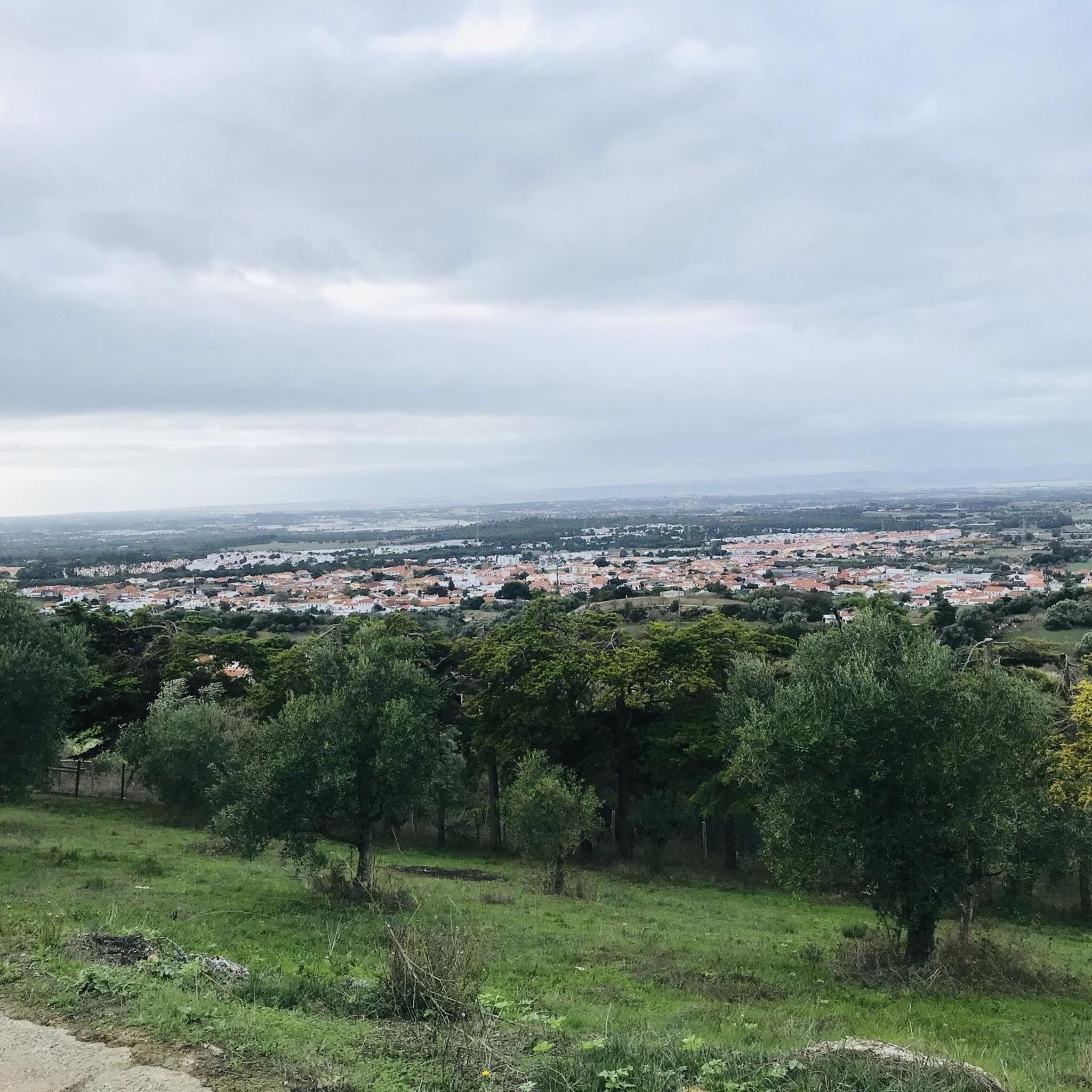
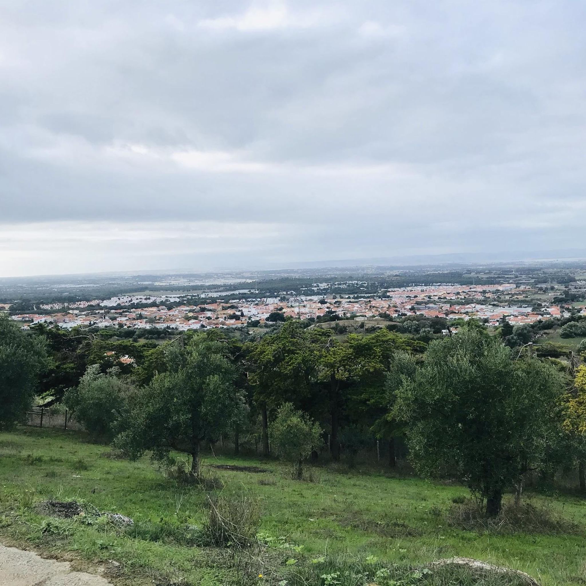
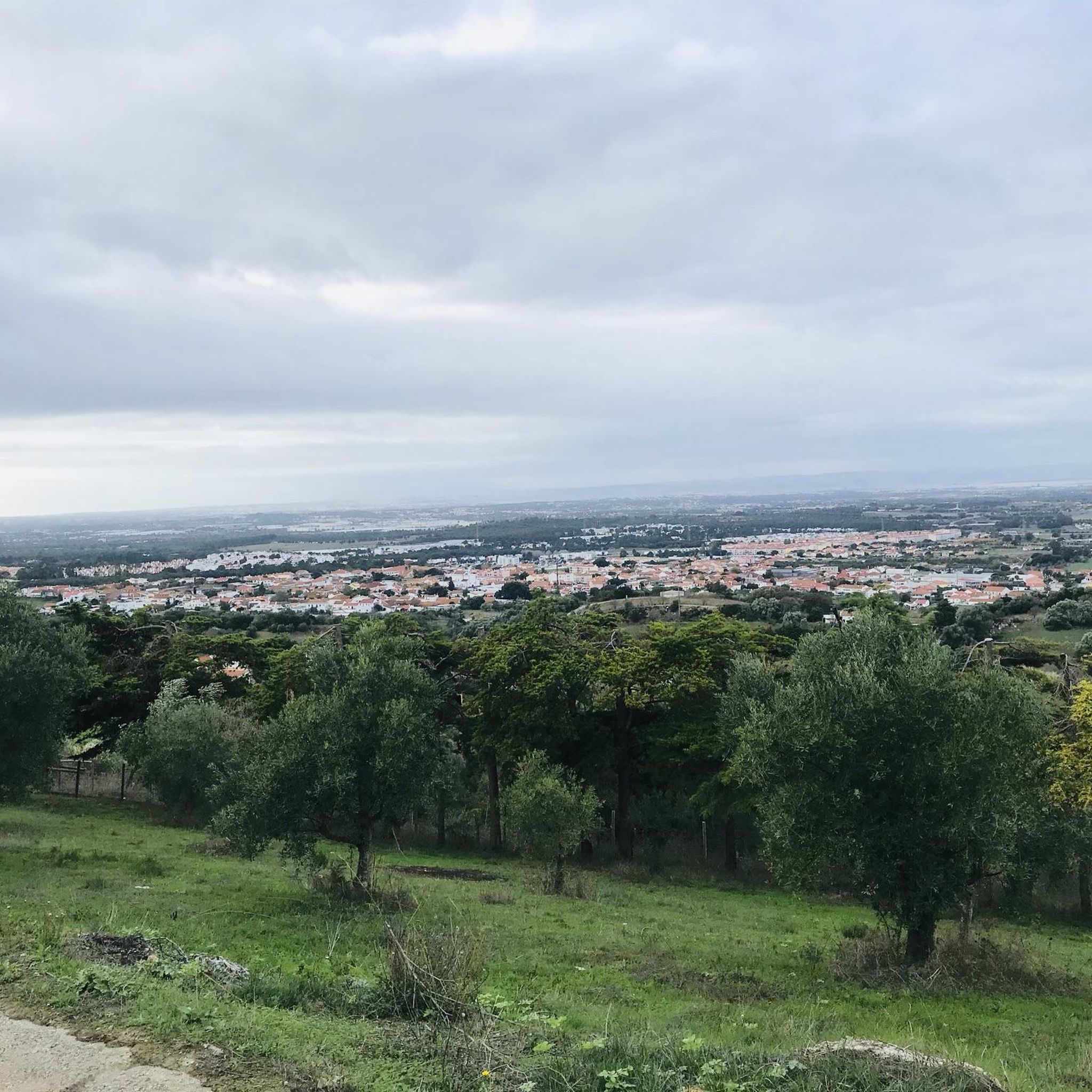
Seixal에서는 반드시 관광객을 예상하지는 않습니다. 여행 가이드들은 세 가지 가능한 페리 노선 중에서 항상 Almada행 노선만 추천합니다. 그에 따라 이 지역은 졸린 듯한 모습을 보여줍니다. 그래도 잠시 들를 가치가 있습니다. 이곳은 모든 것이 훨씬 더 조용합니다. 해변 산책로를 따라 그리고 이 작은 교외 지역의 좁은 골목길을 걷는 것이 가치가 있습니다. 도시 숲에서의 전망은 숨 막힐 듯합니다. 정오 무렵에는 문을 연 식당을 찾아야 합니다. 선박 레스토랑 Lisboa a Vista에서는 물 위에서 부드럽게 흔들리며 괜찮은 음식을 맛볼 수 있습니다. 시립 공원은 코르크 공장에 속했던 코르크 참나무 농장의 잔해에서 만들어졌습니다. 몇 그루의 오래된 코르크 참나무와 다른 오래된 나무들이 잠시 머물도록 초대합니다. Seixal의 다른 쪽에서는 홍학을 관찰할 수 있다고 합니다. 활기찬 리스본과는 큰 대조를 이룹니다.
0
0
Almada를 향한 만을 조망할 수 있는 100년 된 배에 위치한 아름다운 레스토랑입니다. 식사 중 약간 흔들립니다. 훌륭한 요리 - 중간 가격대.
0
0

These were the "mills" of old, moved by the wind, heavy granite millstones, transformed wheat seeds into flour from which delicious bread was made, which "satisfied" the hunger of those who had little to eat.
1
0


The Portuguese oak can be considered an intermediate species between the oaks of the north of the country and those of the south, that is, between the black oak and the oak, and the cork oak and holm oak. This tree grows slowly and inhabits habitats that are generally limiting for most other trees. Like the holm oak, the acorns of this oak are also used in the feed of the wild pig.
6
0
The rural Islamic site of Alto da Queimada, which we identified as a hilltop, was subjected to archaeological intervention between 1996 and 2005. The village shows signs of previous occupation, from the Roman and pre-Islamic periods, with continuity of settlement being recognised, attributable to the great fertility of the region and the good location and defence conditions. The peasant population that, in the Islamic period, structured and inhabited the hilltop from the Emiral period until the beginning of the 11th century, maintained undeniable fiscal and cultural links to the castle of Palmela. The hilltop is defined in a west-east direction, with rectangular houses, with rough stonework associated with walls obtained from the local rock and roofs made of perishable materials. Spaces with functions linked to daily agricultural and pastoral life are defined, namely storage areas, but also others of a religious nature. The signs of a predominantly agricultural economy are evident in the collection of instruments and various utensils, but other activities are also documented, such as fishing, justified by the proximity of the Sado Estuary.
3
0
The Arrábida region holds valuable treasures and a variety of information about the geological evolution of the territory and its occupation since the Neolithic period. It is possible to discover and interpret all these signs in a simple and educational way along the Serra do Louro and Quinta do Anjo mountain range, where you can see beds of fossilized oysters and corals and a large number of archaeological remains in the form of engravings, settlements, hill forts and tombs excavated in the rock. It is also a privileged location for the global observation of all the orography related to the formation of the Serra da Arrábida. The geodetic marker marks the highest point of the Serra do Louro. At an altitude of 224 m, you can see, to the south, the Serra de São Luís (398 m), the Serra dos Gaiteiros (229 m) and the Vale dos Barris. In this location, you can also see a bed of fossilized oysters. The oldest lands in Arrábida date back to around 200 million years ago, at the beginning of the Jurassic, with the oyster beds being one of the testimonies of other geological times.
5
0
모이타 주변에서 가장 인기 있는 명소


더 살펴보기
다른 지역의 최고의 하이킹를 살펴보세요.
