7의 카르가베인가지 명소 & 주요 장소
카르가베인에는 둘러볼 만한 장소가 많답니다. 하이킹 또는 사이클링을 좋아한다면 카르가베인에 숨겨진 7
가지 보석을 만날 수 있을 거예요. 이 지역의 주요 명소를 살펴보면서 다음 모험을 계획해보세요.
마지막 업데이트: 10월 17, 2026


이런 장소를 발견하려면 지금 가입하세요
최고의 싱글 트랙, 봉우리 및 다양한 흥미로운 야외 장소에 대한 추천을 받아보세요.
뉴리에서 빅토리아 락까지 그린웨이 (An Bealach Glas)
하이라이트 (구간) • 트레일
번역문 보기
팁에 의해
Craigmore 고가교
하이라이트 • 다리
번역자 Google •
팁에 의해

성 패트릭 및 성 콜먼 대성당
하이라이트 • 기념물
번역문 보기
팁에 의해
무료로 가입하여 카르가베인 주변의 더 많은 명소를 발견하세요.
이미 komoot 계정이 있나요?
오늘 무료 계정으로 시작하세요
다음 모험이 기다리고 있어요.


커뮤니티 팁


De An Bealach Glas (The Greenway)는 Newry와 기념비적인 Victoria Lock을 연결하는 멋진, 차량 없는 자전거 도로입니다. 이 6km 길이의 '녹색 경로'는 Mourne Mountains의 인상적인 봉우리들을 왼쪽에, Cooley Mountains를 오른쪽에 두고 Clanrye 강과 해협 운하를 따라 이어집니다.
5
0
성 패트릭과 성 콜먼 대성당은 뉴리의 건축적 걸작이자 아일랜드에서 가장 인상적인 신고딕 양식 건축물 중 하나입니다. 1825년에 건설이 시작되어 1829년에 완공된 이 대성당은 가혹한 법률(가톨릭 해방)이 폐지된 후 아일랜드에서 개장한 최초의 가톨릭 대성당으로 역사를 만들었습니다. 인근 모른 산맥의 현지 화강암으로 지어진 이 건축물은 견고하면서도 우아한 힘을 발산합니다. 이 대성당은 화려한 내부로 세계적으로 유명합니다. 벽과 천장은 20세기 초 이탈리아 장인들이 손으로 직접 작업한 다채로운 모자이크로 덮여 있습니다. 자전거 타는 사람에게 이곳은 경로상의 시각적 하이라이트일 뿐만 아니라 고요한 평온의 장소이기도 합니다. 섬세한 스테인드글라스 창문과 기념비적인 탑은 이곳을 도시에서 가장 많이 사진 찍히는 장소 중 하나로 만들며, 뉴리 운하 견인로를 따라가는 여정의 가치 있는 종점(또는 시작점)이 됩니다.
6
0
바스락거리는 나무들 사이로 뉴리 운하 견인로를 따라가다 보면 잠잠한 수문지기 오두막의 고요한 폐허를 만나게 됩니다. 한때 이곳은 수로의 자랑스럽고 번잡한 중심지였으며, 수문지기는 지나가는 배들을 위해 운하의 무거운 나무 문을 조작하기 위해 밤낮으로 준비했습니다. 오늘날에는 튼튼한 돌담만이 남아 자연에 천천히 잠식되고 있습니다.
6
0
뉴리 운하 견인로는 포트다운과 뉴리 시를 연결하는 32km 길이의 거의 완전히 차량 통행이 없는 녹색 회랑입니다. 이 도로는 1742년 티론 카운티에서 바다로 석탄을 운송하기 위해 개통된 영국 섬에서 가장 오래된 운하의 견인로를 따라갑니다. 뉴리 운하 견인로는 아르마와 다운 카운티의 고요한 중심부를 통과하는 비할 데 없는 자전거 경험을 제공합니다. 국립 자전거 네트워크 9번 도로의 일부인 이 역사적인 경로는 14개의 기념비적인 수문과 특징적인 수문지기 오두막을 지나 평평하고 대부분 포장된 길을 따라 이어집니다. 수로를 따라가면서 울창한 숲과 탁 트인 초원이 번갈아 나타나는 풍경을 가로지르며, 스카바와 포인츠패스와 같은 환대하는 마을을 지나게 됩니다. 이 길은 야생 동물의 안식처이며, 갈대밭 근처에 사는 물총새, 백조, 수달을 발견할 수 있습니다. 32km 전체를 자전거로 달리든 일부만 탐험하든, 산업 역사와 자연의 아름다움이 결합된 이곳은 아일랜드 자전거 도로의 진정한 보석 중 하나입니다.
5
0

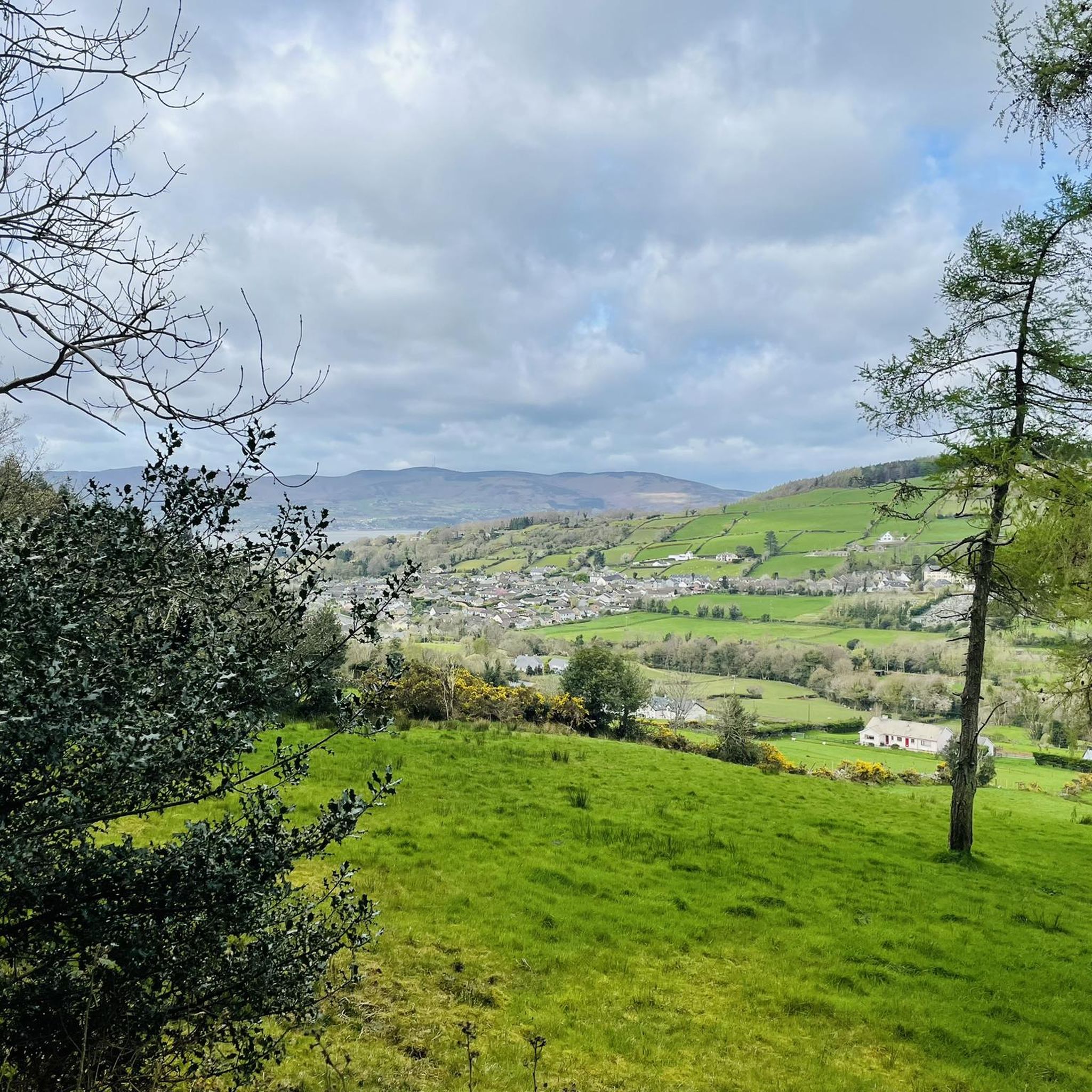
On the cycle path between Newry and Portadown, the gentle idyll of Northern Ireland unfolds in all its splendor. The route winds its way past lush green meadows where cows graze peacefully, through a wonderfully quiet landscape. The gentle rise and fall of the fields, the vastness of the sky and the gentle rustling of the wind create a unique atmosphere of relaxation. Here you can let your gaze wander into the distance while the path runs picturesquely between fields and hedges. A perfect place to let your bike roll and unwind.
1
0
There is something enchanted about this old, dilapidated stone hut - as if it were whispering stories of times gone by, when the canal was still full of life and the lock keepers worked here day and night. The walls, overgrown with greenery and moss, show how nature is slowly reclaiming its place. The building itself is only a ruin, but that is precisely what makes it somehow interesting. The mixture of broken brickwork and wild growth has something melancholic about it that fits perfectly into the tranquility of the surroundings. Right next to it there is a small rest area with a bench - ideal for stopping for a moment and taking in the atmosphere.
1
0
The Craigmore Viaduct is an impressive structure, with its 18 arches spanning the Camlough River Valley, dominating the landscape of south Armagh. As I cycled along the gently curving roads, the viaduct suddenly appeared on the horizon - a massive but elegant sight. The tall stone arches seem to effortlessly support the train traffic that runs between Dublin and Belfast. I stopped for a moment to take a closer look at the structure. It is fascinating to know that this structure has been standing here since 1852, designed by Irish engineer John Benjamin Macneill. The highest arch rises 126 feet, and standing under it you can really appreciate the scale and importance of this structure to the region. The surroundings are just perfect for putting your bike down and taking some time to look at the view. Perhaps a small lookout point with information about the history of the viaduct would be a nice addition, but even without it it is a worthwhile stop along the way. We continue, but the image of the arches remains in our minds.
2
0
카르가베인 주변에서 가장 인기 있는 경로


더 살펴보기
찾고 있는 하이라이트를 아직 못 찾으셨나요? 다른 지역의 주요 명소 가이드를 확인해보세요:
