20의 슬리브 걸리온가지 명소 & 주요 장소
슬리브 걸리온에는 둘러볼 만한 장소가 많답니다. 하이킹 또는 사이클링을 좋아한다면 슬리브 걸리온에 숨겨진 20
가지 보석을 만날 수 있을 거예요. 이 지역의 주요 명소를 살펴보면서 다음 모험을 계획해보세요.
마지막 업데이트: 10월 5, 2026
슬리브 걸리언 정상
하이라이트 • 화산
번역자 Google •
팁에 의해

슬리브걸리온 북부 케언 및 칼리아 베라의 호수
하이라이트 • 정상
번역자 Google •
팁에 의해
이런 장소를 발견하려면 지금 가입하세요
최고의 싱글 트랙, 봉우리 및 다양한 흥미로운 야외 장소에 대한 추천을 받아보세요.
드루이드 서클, 레이븐스데일 숲
하이라이트 • 역사적 장소
팁에 의해


Camlough Lake
하이라이트 (구간) • 자연
팁에 의해

무료로 가입하여 슬리브 걸리온 주변의 더 많은 명소를 발견하세요.
이미 komoot 계정이 있나요?
오늘 무료 계정으로 시작하세요
다음 모험이 기다리고 있어요.
커뮤니티 팁

Druid’s Circle, Clermont Estate: this small oval stone circle above the Flurry River, marked as both “Standing Stone” and “Druids Circle” on old maps, was likely uncovered in 1840 by Lord Clermont. Though some believe it’s prehistoric, others argue it may be 19th-century landscaping. Its irregular layout and re-set stones cast doubt on its authenticity. Still, it’s a scenic and mysterious woodland stop.
1
0

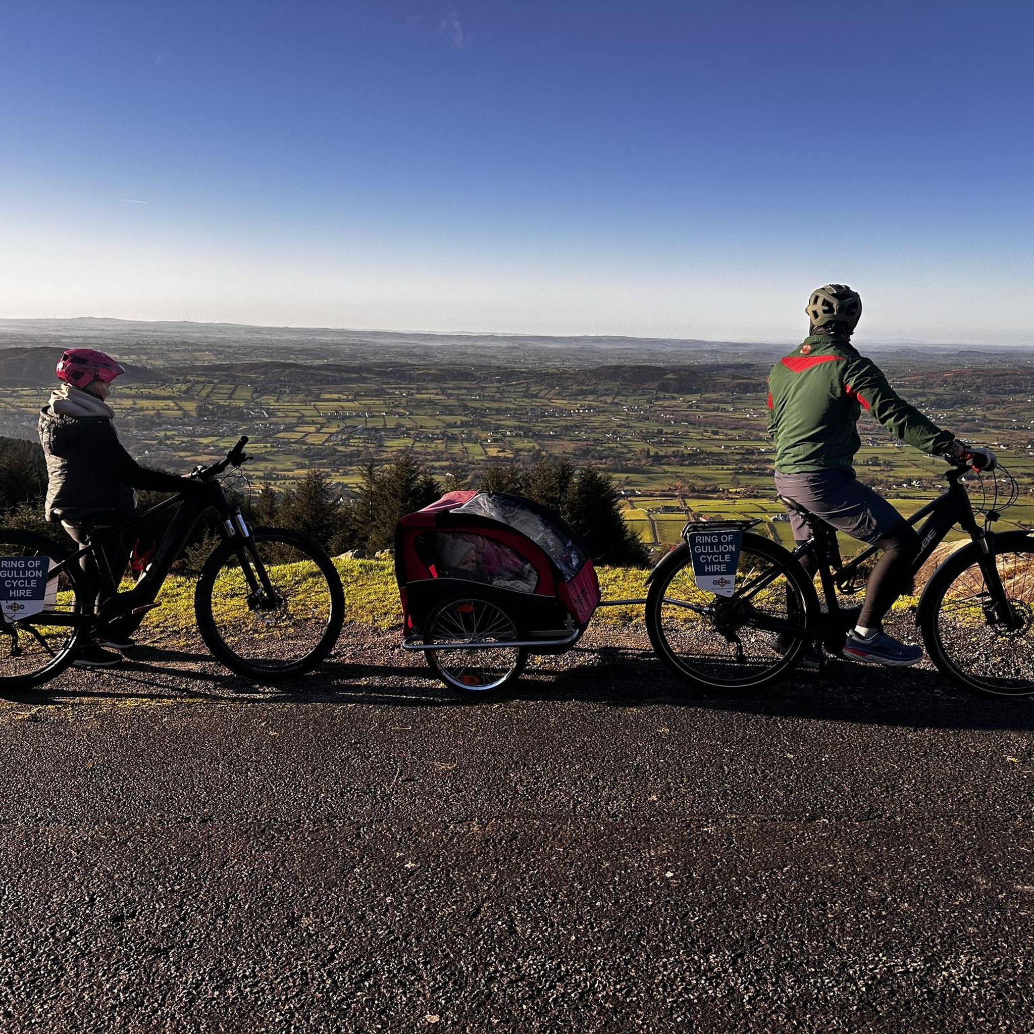
Camlough Lake is picturesquely nestled between the rolling hills of Slieve Gullion and the Ring of Gullion. Cycling along the narrow roads on the shore, you immediately feel the tranquility that emanates from the long stretch of water. The lake stretches for more than two kilometers and seems like a narrow, silent crack in the landscape - a peaceful place to take a short break or let your gaze wander over the water. I decided to take a little detour and cycled a little closer to the shore on a path. The water was almost still and reflected the range of hills that rise in the background. It may be a paradise for fishermen, but cyclists also enjoy the special atmosphere. The roads around the lake are not very busy and you can cycle in a relaxed manner without having to constantly pay attention to the traffic. One small criticism: some of the access roads are not well signposted, but if you look around a bit, you'll surely find a good place to get to the shore and enjoy the scenery.
2
0
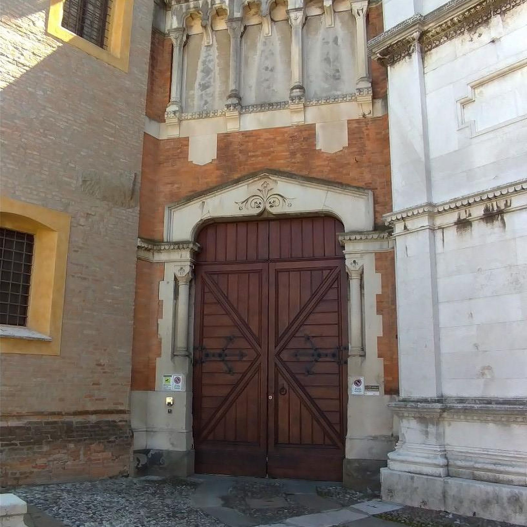
Hidden in Ravensdale Forest, off the main paths, you come across a mystical stone circle that raises questions: Was it the Druids who held their mysterious rituals here, or was it the eccentric 19th century landowner who wanted to immortalize himself with this project? Nobody knows for sure, and that makes this place all the more fascinating. The eight stones, arranged in an oval, seem like silent witnesses to a time long gone. On the maps, the circle is referred to as both the 'Standing Stone' and the 'Druids Circle', and you immediately sense that this place exudes a special aura. The stone circle is just a short climb from the Flurry River, in the middle of the old Lord Clermont Estate. Up here, in the shade of the trees, it feels like you have entered another world. The stones, covered in moss, invite you to pause and enjoy the tranquility of the forest.
2
0
On the way through the Giant's Lair you will be immersed in Irish legends. As soon as you pass under the artistically carved archway, a magical world opens up in which the story of Finn McCool comes to life. The path leads you and the whole family through four chapters that bring the world of legend to life with lovingly designed stations. For the little ones it is an exciting treasure hunt - at every bend there are new clues waiting for them, which they eagerly discover. While they run ahead to find the next adventure, there is enough time for you to enjoy the lush nature. The dense trees, the mosses and the ancient carvings make you forget everyday life. You are in the middle of a story that unfolds further with every step.
1
0
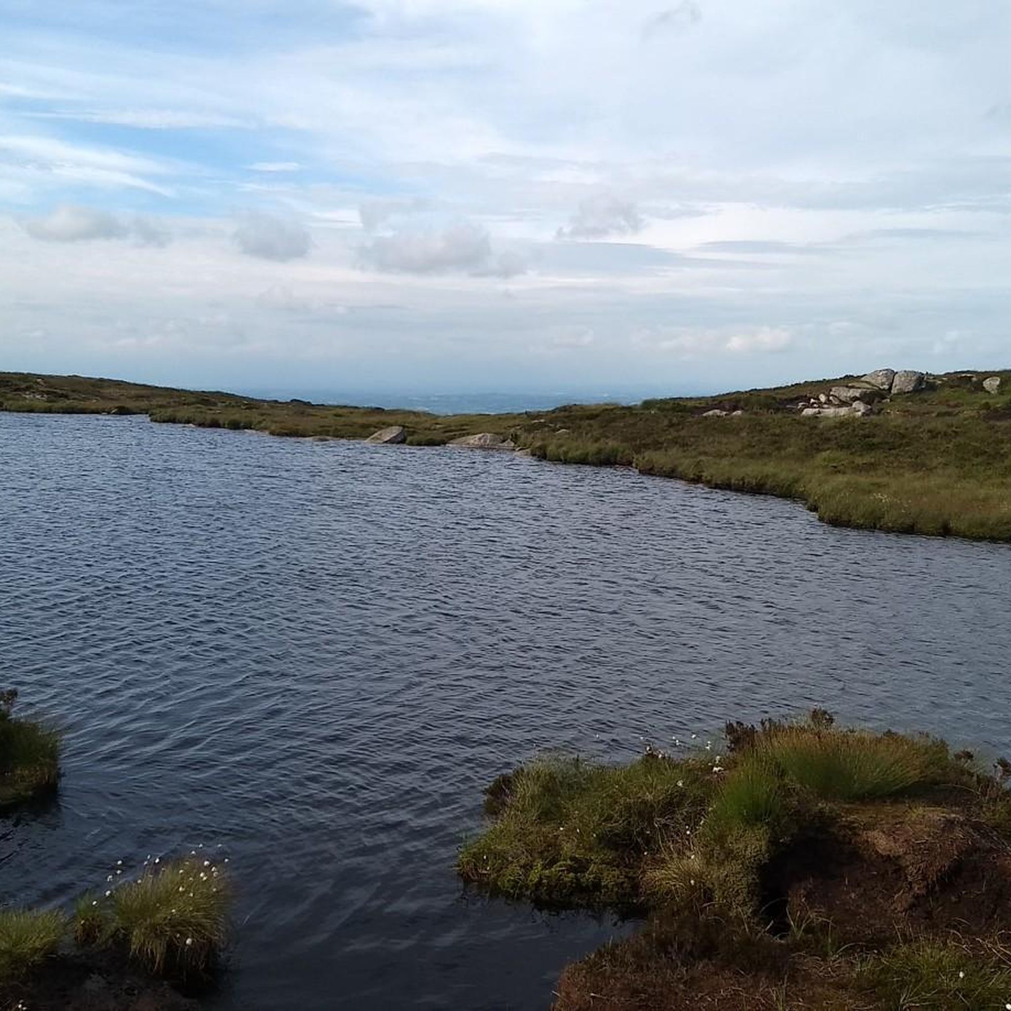
As soon as you cross the gentle ridge of Slieve Gullion, the North Cairn stretches out before you - a slightly smaller hill than its southern neighbour, but no less impressive. The stones that gather here seem like silent sentinels, witnesses of the distant Bronze Age. Two ancient stone boxes were once found here during excavations, which lay hidden in the depths of history. The North Cairn, with its diameter of around 18 metres, invites you to pause for a moment and enjoy the peace. But it is not just the Cairn that is fascinating. Right next to it lies "Calliagh Beara's Lough", a quiet mountain lake that, according to legend, is the home of the witch Beara. On a clear day, the sky is reflected in the calm waters and you can almost feel the ancient magic of this place coming to life. The road here may be rocky, but the landscape rewards with sweeping views and a touch of mysticism that makes Slieve Gullion something special.
1
0

This stone circle, marked on the OSI map as ‘Standing Stone' & on the Historic map as 'Druids Circle', is located 100m east, uphill from the Flurry River (Glais Ghallaigh), in woods on the old Lord Clermont Estate. The circle consists of eight regularly spaced stones enclosing an oval area. https://www.megalithicmonumentsofireland.com/COUNTIES/LOUTH/RavensdalePark_StoneCircle.html
2
0


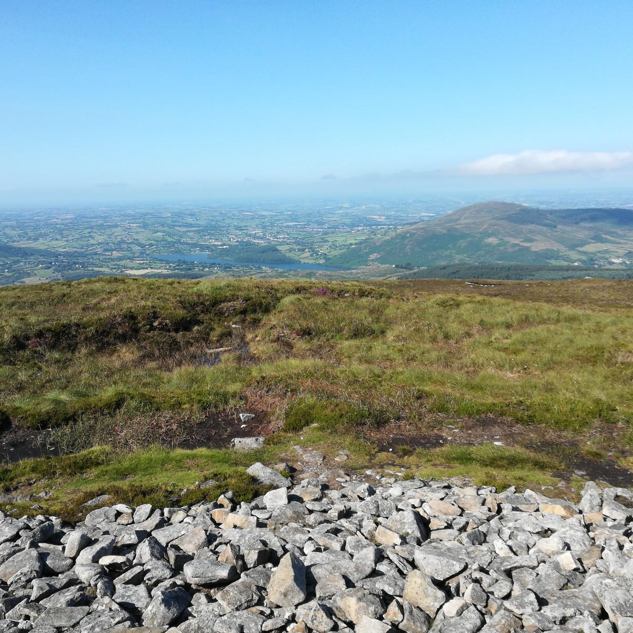
At the heart of the Ring of Gullion AONB, you'll find this beautiful mountain, which represents the highest point in the county with an elevation of 573 meters (1,880 ft). Right next to it there is a burial cairn.
1
0
슬리브 걸리온 주변에서 가장 인기 있는 경로
슬리브 걸리온 주변에서 가장 인기 있는 명소


더 살펴보기
찾고 있는 하이라이트를 아직 못 찾으셨나요? 다른 지역의 주요 명소 가이드를 확인해보세요:
