작셀른 최고의 라이딩 경로
4.7
(470)
16,486
자전거 타는 사람
70
라이딩
작셀른의 로드 사이클링 경로를 찾으시나요? 그렇다면 작셀른 로드 라이딩 컬렉션 중에서 가장 멋진 라이딩 장소를 아래에서 살펴보세요.
마지막 업데이트: 10월 11, 2026
4.9
(27)
1,041
자전거 타는 사람
86.2km
05:16
2,220m
2,220m
어려운 도로 자전거 타기. 우수한 체력 필요. 투어 중 라이딩하기 어려운 비포장 구간이 있을 수 있음.
4.8
(36)
712
자전거 타는 사람
54.9km
02:27
400m
400m
보통 도로 자전거 타기. 좋은 체력 필요. 투어 중 라이딩하기 어려운 비포장 구간이 있을 수 있음.

4.5
(4)
194
자전거 타는 사람
46.1km
02:02
290m
290m
보통 도로 자전거 타기. 좋은 체력 필요. 투어 중 라이딩하기 어려운 비포장 구간이 있을 수 있음.
4.3
(3)
199
자전거 타는 사람
41.3km
02:28
520m
520m
보통 도로 자전거 타기. 좋은 체력 필요. 투어 중 라이딩하기 어려운 비포장 구간이 있을 수 있음.
5.0
(2)
136
자전거 타는 사람
34.2km
02:21
1,090m
1,090m
어려운 도로 자전거 타기. 우수한 체력 필요. 투어 중 라이딩하기 어려운 비포장 구간이 있을 수 있음.
더 다양한 경로와 다른 탐험가들의 추천을 살펴보세요.
이미 komoot 계정이 있나요?
투어 추천은 다른 사람들이 komoot에서 완료한 수천 개의 활동을 바탕으로 구성되어 있습니다.
오늘 무료 계정으로 시작하세요
다음 모험이 기다리고 있어요.






커뮤니티 팁


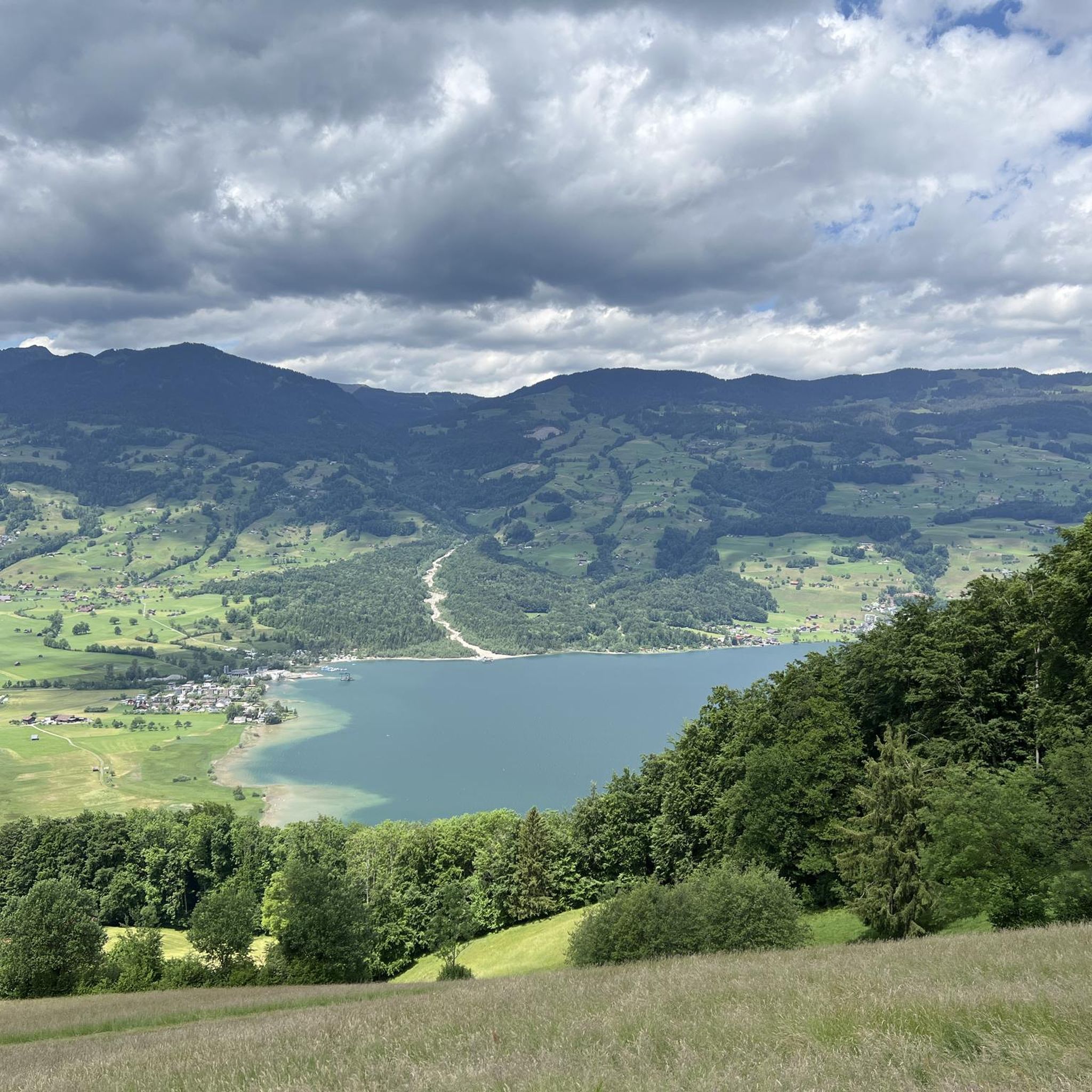
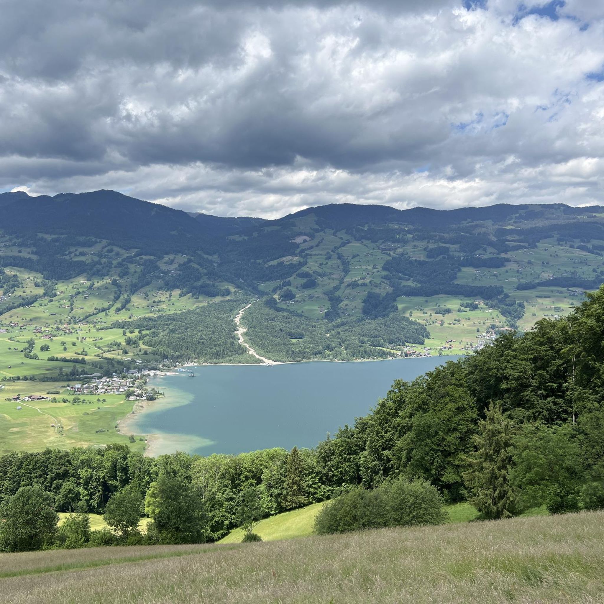
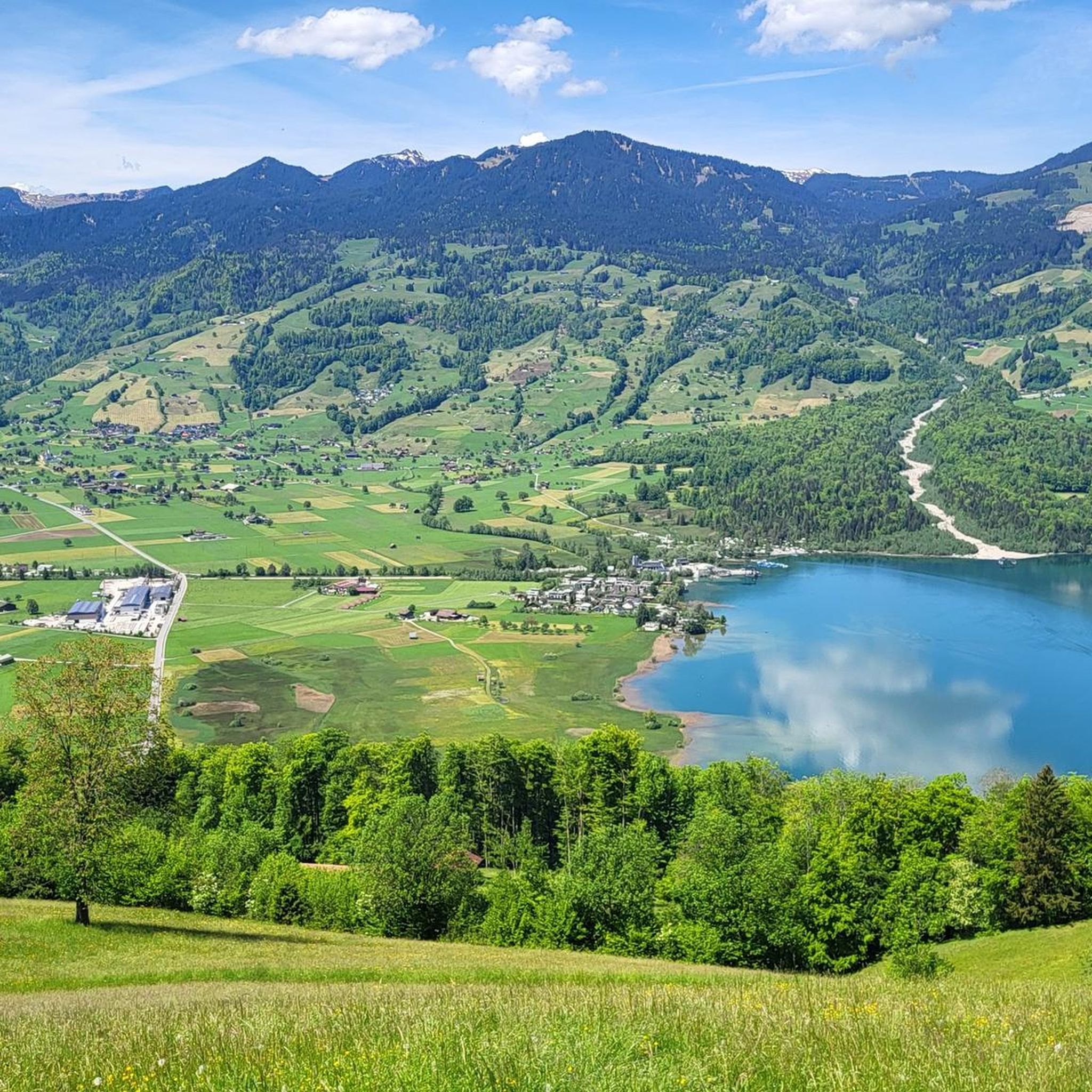
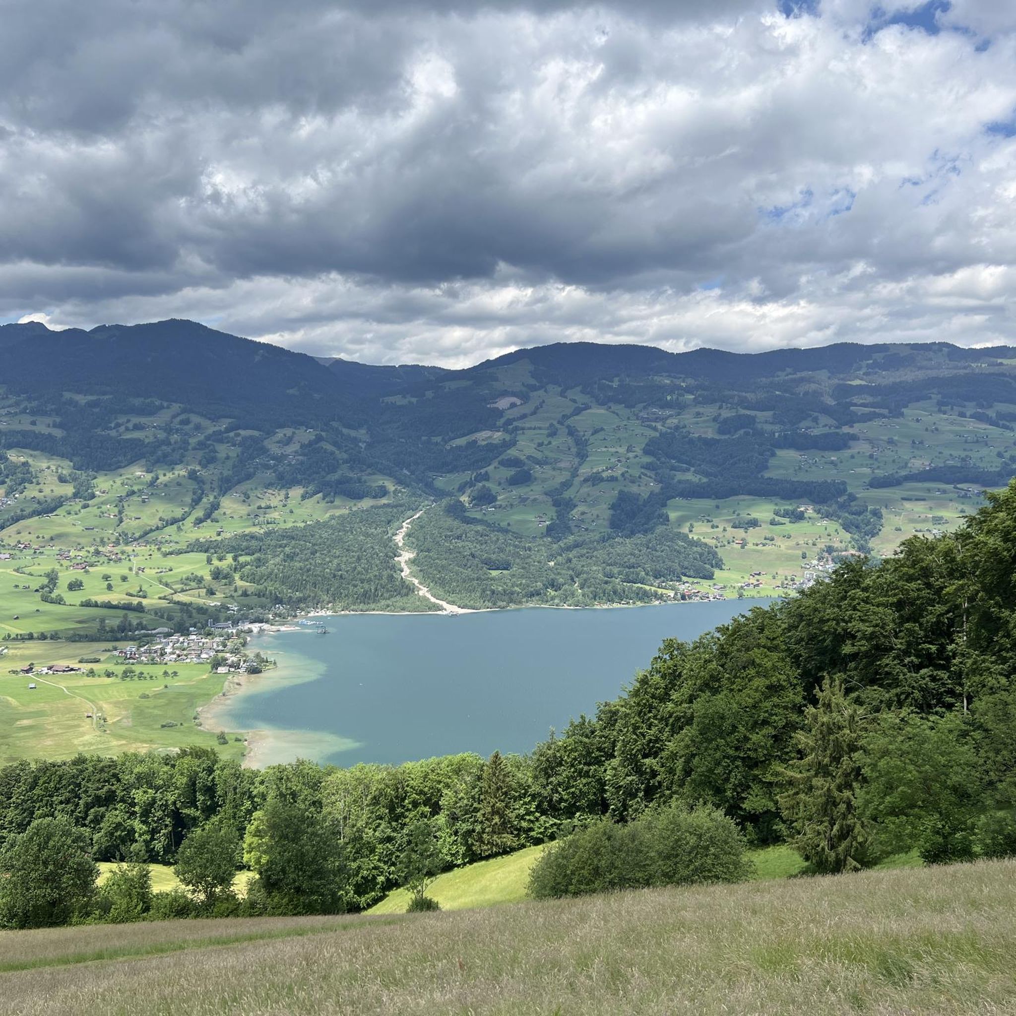
마지막 빙하기 이후 기간 동안 Sarnersee는 현재의 Vierwaldstättersee의 일부였습니다.
0
0

A small mountain pass between the cantons of Obwalden, from Giswil and Lucerne to Sörenberg. The route is narrow on the Obwalden side and in places only single-track, stretching with a very constant gradient of 8 to 12% over meadow slopes and forest up to the highest point. From the Lucerne side, starting at the Brienz Rothorn cable car valley station, it is also only two-track. The highest point is somewhat unspectacular, situated in the sparse mountain forest at the foot of a rock face; the actual pass summit is somewhat lower on the Lucerne side, where there is also a small kiosk.
0
0
It's almost impossible not to see the Swiss Alps here :-) The panoramic road certainly lives up to its name.
0
0
The eastern slope of the Glaubenberg Pass offers wonderful views time and again – better enjoyed on the ascent than on the descent!
0
0
Coming from Oberwilen, the road becomes increasingly narrow and is now just one lane wide. The bridge looks like it might need to be replaced after heavy mudslides...
0
0
A small mountain pass between the cantons of Obwalden and Lucerne, from Giswil to Sörenberg. The route is narrow on the Obwalden side and in places only single-track, stretching at a very constant gradient of 8 to 12% over meadow slopes and forest up to the highest point. From the Lucerne side, starting at the Brienz Rothorn cable car valley station, it is also only two-track. The highest point is somewhat unspectacular, situated in the sparse mountain forest at the foot of a rock face; the actual pass summit is somewhat lower on the Lucerne side, where there is also a small kiosk.
0
0
The eastern approach to Glaubenberg is much more developed than the northwest approach from Entlebuch. From Sarnen via Stalden, the road is a good two-lane and wide, with a mostly moderate gradient.
0
0


