컨 최고의 라이딩 경로
4.5
(717)
21,729
자전거 타는 사람
113
라이딩
컨의 로드 사이클링 경로를 찾으시나요? 그렇다면 컨 로드 라이딩 컬렉션 중에서 가장 멋진 라이딩 장소를 아래에서 살펴보세요.
마지막 업데이트: 9월 27, 2026
4.9
(27)
1,041
자전거 타는 사람
86.2km
05:16
2,220m
2,220m
어려운 도로 자전거 타기. 우수한 체력 필요. 투어 중 라이딩하기 어려운 비포장 구간이 있을 수 있음.
4.6
(22)
371
자전거 타는 사람
22.1km
01:02
190m
190m
초급용 로드 라이딩. 모든 체력 수준에 적합. 지면 대부분이 잘 포장되어 있고 라이딩하기 쉬움.

5.0
(6)
168
자전거 타는 사람
98.7km
04:21
880m
880m
보통 도로 자전거 타기. 좋은 체력 필요. 지면 대부분이 잘 포장되어 있고 라이딩하기 쉬움.
4.3
(7)
157
자전거 타는 사람
27.9km
01:23
250m
250m
보통 도로 자전거 타기. 모든 체력 수준에 적합. 투어 중 라이딩하기 어려운 비포장 구간이 있을 수 있음.
5.0
(2)
136
자전거 타는 사람
34.2km
02:21
1,090m
1,090m
어려운 도로 자전거 타기. 우수한 체력 필요. 투어 중 라이딩하기 어려운 비포장 구간이 있을 수 있음.
더 다양한 경로와 다른 탐험가들의 추천을 살펴보세요.
이미 komoot 계정이 있나요?
투어 추천은 다른 사람들이 komoot에서 완료한 수천 개의 활동을 바탕으로 구성되어 있습니다.


커뮤니티 팁

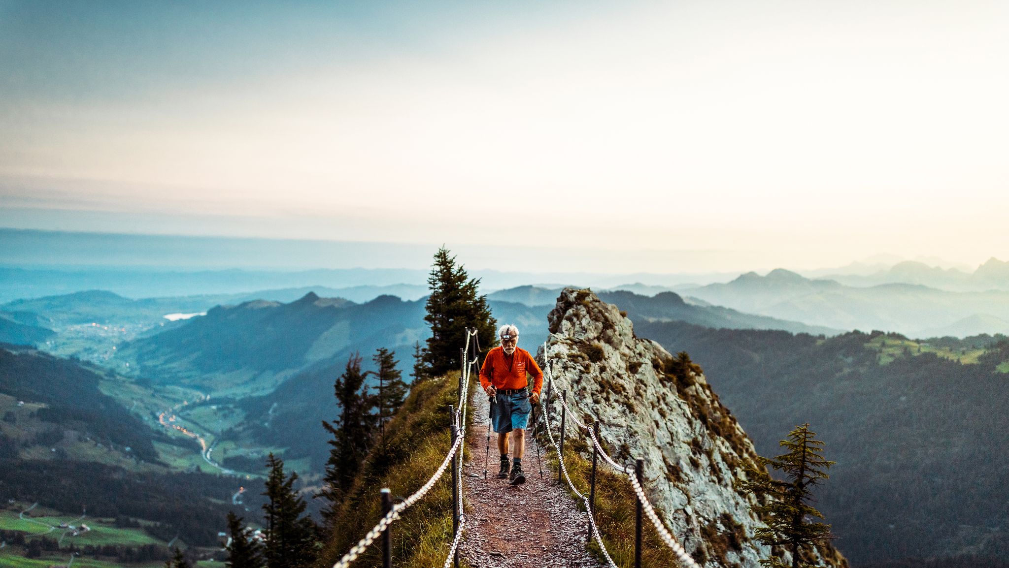
제가 찾은 것이 그래도 긍정적으로 놀라웠다고 말해야겠네요. 사진만 봤습니다. 부분적으로 더 좁고, 더 단단하며, 더 흐르는 듯한 길입니다. 판자 길 위를 굴러갈 때는 익숙해져야 하고, 시끄러워집니다. 제가 거기서 얼마나 웃었는지 😅🤣🤣🤣. 아주 특별한 경험입니다. 전망은 장관입니다. 마주쳤을 때 안전상의 이유로 멈춰서 기다렸습니다. 서로 존중하며 만나는 것은 전혀 문제가 되지 않습니다. 즐거운 시간 보내세요!
0
0

탑은 14세기에 지어졌으며 이전에는 루체른 시를 방어하는 데 사용되었습니다. ⏳⚔️
0
0

A small mountain pass between the cantons of Obwalden, from Giswil and Lucerne to Sörenberg. The route is narrow on the Obwalden side and in places only single-track, stretching with a very constant gradient of 8 to 12% over meadow slopes and forest up to the highest point. From the Lucerne side, starting at the Brienz Rothorn cable car valley station, it is also only two-track. The highest point is somewhat unspectacular, situated in the sparse mountain forest at the foot of a rock face; the actual pass summit is somewhat lower on the Lucerne side, where there is also a small kiosk.
0
0
It's almost impossible not to see the Swiss Alps here :-) The panoramic road certainly lives up to its name.
0
0
The eastern slope of the Glaubenberg Pass offers wonderful views time and again – better enjoyed on the ascent than on the descent!
0
0
Excellent asphalt road (09/2025), nice gradient, great curves - a real pleasure to ride down here.
0
0
Coming from Oberwilen, the road becomes increasingly narrow and is now just one lane wide. The bridge looks like it might need to be replaced after heavy mudslides...
0
0
A small mountain pass between the cantons of Obwalden and Lucerne, from Giswil to Sörenberg. The route is narrow on the Obwalden side and in places only single-track, stretching at a very constant gradient of 8 to 12% over meadow slopes and forest up to the highest point. From the Lucerne side, starting at the Brienz Rothorn cable car valley station, it is also only two-track. The highest point is somewhat unspectacular, situated in the sparse mountain forest at the foot of a rock face; the actual pass summit is somewhat lower on the Lucerne side, where there is also a small kiosk.
0
0


