작셀른 최고의 러닝 경로
4.3
(27)
1,906
달리기 하는 사람
36
러닝
작셀른에서 하이킹하며 오브발덴 구석 부분까지 살펴볼까요? 작셀른에 있는 모든 하이킹 및 워킹 경로 컬렉션 중 가장 멋진 하이킹 경로를 엄선하여 소개해드릴게요. 다른 하이커가 공유한 실제 팁과 사진을 살펴보고 후기를 읽으며 마음에 드는 작셀른 워킹 경로를 찾아보세요.
마지막 업데이트: 10월 14, 2026
4.5
(2)
786
달리기 하는 사람
26.3km
02:52
160m
160m
어려운 조깅. 우수한 체력 필요. 대부분 포장된 지면. 실력과 관계없이 누구나 갈 수 있음.
4.8
(4)
211
달리기 하는 사람
9.88km
01:04
20m
20m
보통 조깅. 좋은 체력 필요. 대부분 포장된 지면. 실력과 관계없이 누구나 갈 수 있음.

5.0
(1)
95
달리기 하는 사람
9.33km
01:02
30m
30m
보통 조깅. 좋은 체력 필요. 대부분 포장된 지면. 실력과 관계없이 누구나 갈 수 있음.
4.0
(2)
91
달리기 하는 사람
6.92km
00:44
20m
20m
보통 조깅. 좋은 체력 필요. 대부분 포장된 지면. 실력과 관계없이 누구나 갈 수 있음.
4.0
(2)
44
달리기 하는 사람
14.3km
01:39
40m
40m
보통 조깅. 좋은 체력 필요. 대부분 포장된 지면. 실력과 관계없이 누구나 갈 수 있음.
더 다양한 경로와 다른 탐험가들의 추천을 살펴보세요.
이미 komoot 계정이 있나요?
투어 추천은 다른 사람들이 komoot에서 완료한 수천 개의 활동을 바탕으로 구성되어 있습니다.
오늘 무료 계정으로 시작하세요
다음 모험이 기다리고 있어요.






커뮤니티 팁

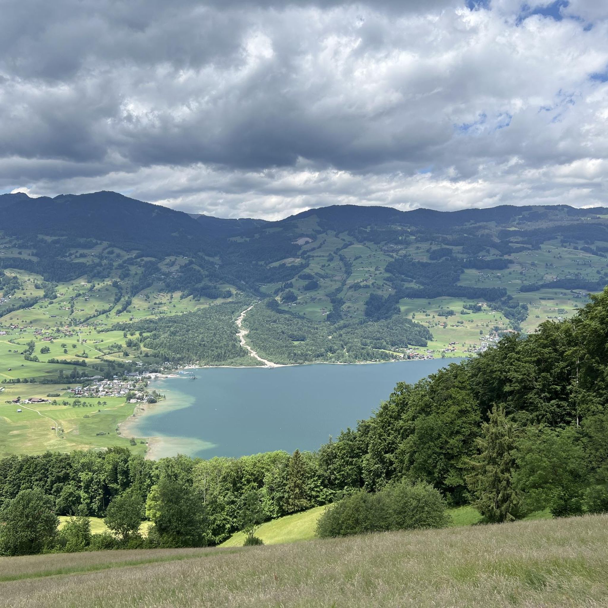
Sarnersee The Sarnersee is the largest lake in the canton of Obwalden. It is located in the area of the municipalities of Sarnen, Sachseln and Giswil. The lake, which lies 469 meters above sea level, is fed by the Grosse Melchaa, the Dreiwässerkanal and the Sarner Aa, among others. The latter flows out of the lake at the northern end near Sarnen before flowing into the Alpnachersee at the valley exit. The Sarnersee is a good six kilometers long, between one and one and a half kilometers wide and thus has an area of approximately 7.5 square kilometers. Text / Source: Schweizersee.ch https://www.schweizersee.ch/sarnersee/
13
0
Sarnersee The Sarnersee is the largest lake in the canton of Obwalden. It is located in the area of the municipalities of Sarnen, Sachseln and Giswil. The lake, which lies 469 meters above sea level, is fed by the Grosse Melchaa, the Dreiwässerkanal and the Sarner Aa, among others. The latter flows out of the lake at the northern end near Sarnen before flowing into the Alpnachersee at the valley exit. The Sarnersee is a good six kilometers long, between one and one and a half kilometers wide and thus has an area of approximately 7.5 square kilometers. Text / Source: Schweizersee.ch https://www.schweizersee.ch/sarnersee/
13
0

From here you can enjoy panoramic views of Lake Sarnen, framed by lush forests and rolling mountains. The peaceful blue of the lake contrasts beautifully with its green valley setting, giving you a perfect vantage point to admire the picturesque Swiss landscape.
0
0

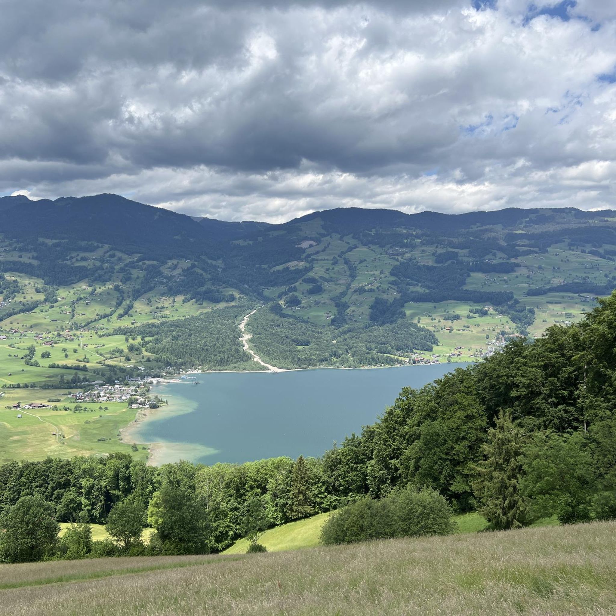
Lake Sarnen is a lake in the heart of Oblalden
1
0
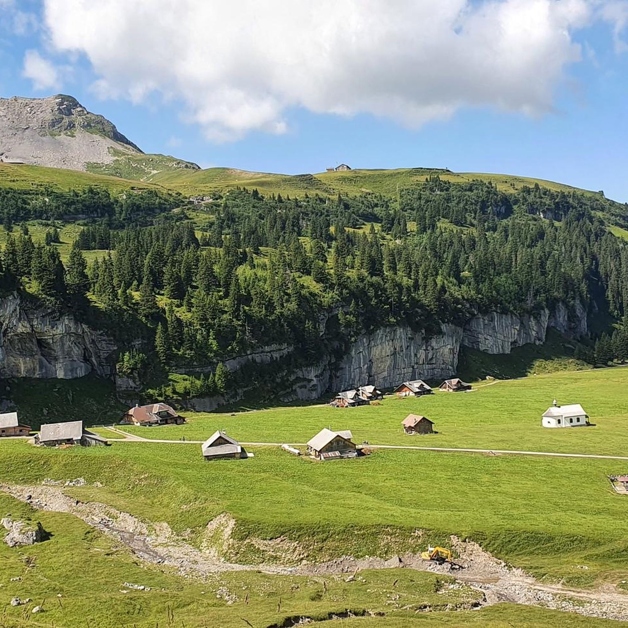
Beautiful renatured stream. It's great for cooling down after a run.
1
0


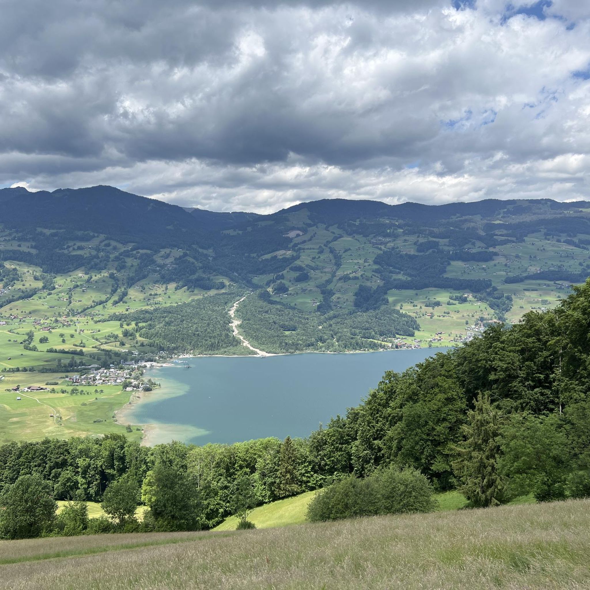
A beautifully landscaped lake. From the height it looks like a pearl with its blue-green color. There are many recreational opportunities here.
0
0


