모야드 어퍼 최고의 사이클링 경로
5.0
(1)
42
자전거 타는 사람
7
라이딩
모야드 어퍼 최고의 사이클링 경로를 찾으시나요? 모야드 어퍼에서 가장 멋진 자전거 라이딩 장소를 살펴본 후에 바로 떠나보세요. 여기서 마음에 드는 경로만 고르시면 돼요!
마지막 업데이트: 10월 14, 2026
1
자전거 타는 사람
43.2km
03:13
730m
730m
어려운 자전거 타기. 우수한 체력 필요. 대부분 포장된 지면. 실력과 관계없이 누구나 갈 수 있음.
1
자전거 타는 사람
24.7km
01:34
300m
300m
보통 자전거 타기. 좋은 체력 필요. 대부분 포장된 지면. 실력과 관계없이 누구나 갈 수 있음.

29.2km
01:55
350m
350m
보통 자전거 타기. 좋은 체력 필요. 대부분 포장된 지면. 실력과 관계없이 누구나 갈 수 있음.
13.4km
00:48
90m
90m
초급용 자전거 라이딩. 모든 체력 수준에 적합. 대부분 포장된 지면. 실력과 관계없이 누구나 갈 수 있음.
5.0
(1)
35
자전거 타는 사람
28.3km
02:25
380m
380m
보통 자전거 타기. 좋은 체력 필요. 대부분 포장된 지면. 실력과 관계없이 누구나 갈 수 있음.
더 다양한 경로와 다른 탐험가들의 추천을 살펴보세요.
이미 komoot 계정이 있나요?
투어 추천은 다른 사람들이 komoot에서 완료한 수천 개의 활동을 바탕으로 구성되어 있습니다.
오늘 무료 계정으로 시작하세요
다음 모험이 기다리고 있어요.
모야드 어퍼 주변 인기 장소
커뮤니티 팁

Added to the collection: komoot.com/de-de/collection/3600632/-naturdenkmaeler-besondere-baeume-und-weitere-schaetze-der-natur
0
0

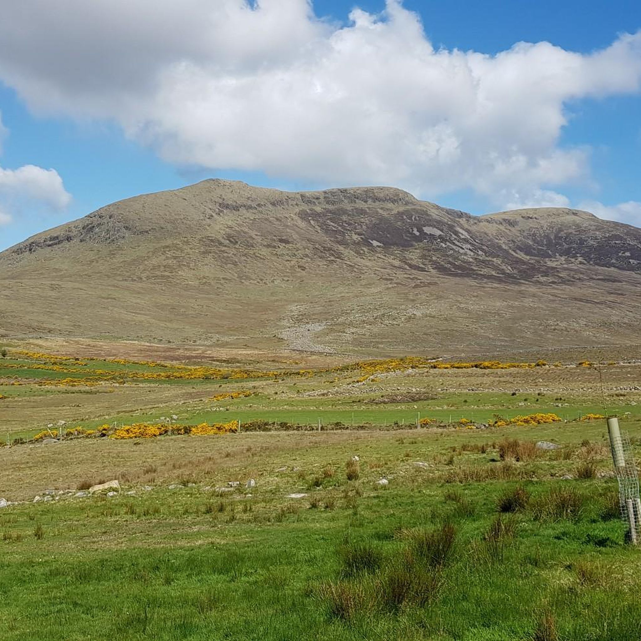
Silent Valley Reservoir, nestled in the Mourne Mountains, is a peaceful retreat surrounded by sweeping granite peaks and heathered slopes. Built in the early 20th century to supply water to Belfast and much of County Down, the reservoir combines striking engineering with natural beauty. Visitors can stroll along well-kept paths, admire the Victorian-style dam and impressive Mourne Wall, or simply enjoy the quiet atmosphere by the lakeshore.
4
1

The route takes you along the Silent Valley Reservoir on a well-developed, asphalt road that is also suitable for less experienced drivers. However, it can be slippery in wet weather, so caution is advised. A special highlight is the impressive dam wall of the Ben Crom Reservoir, which blends harmoniously into the surrounding mountain landscape. Please note, however, that access to the park is subject to a fee.
0
0
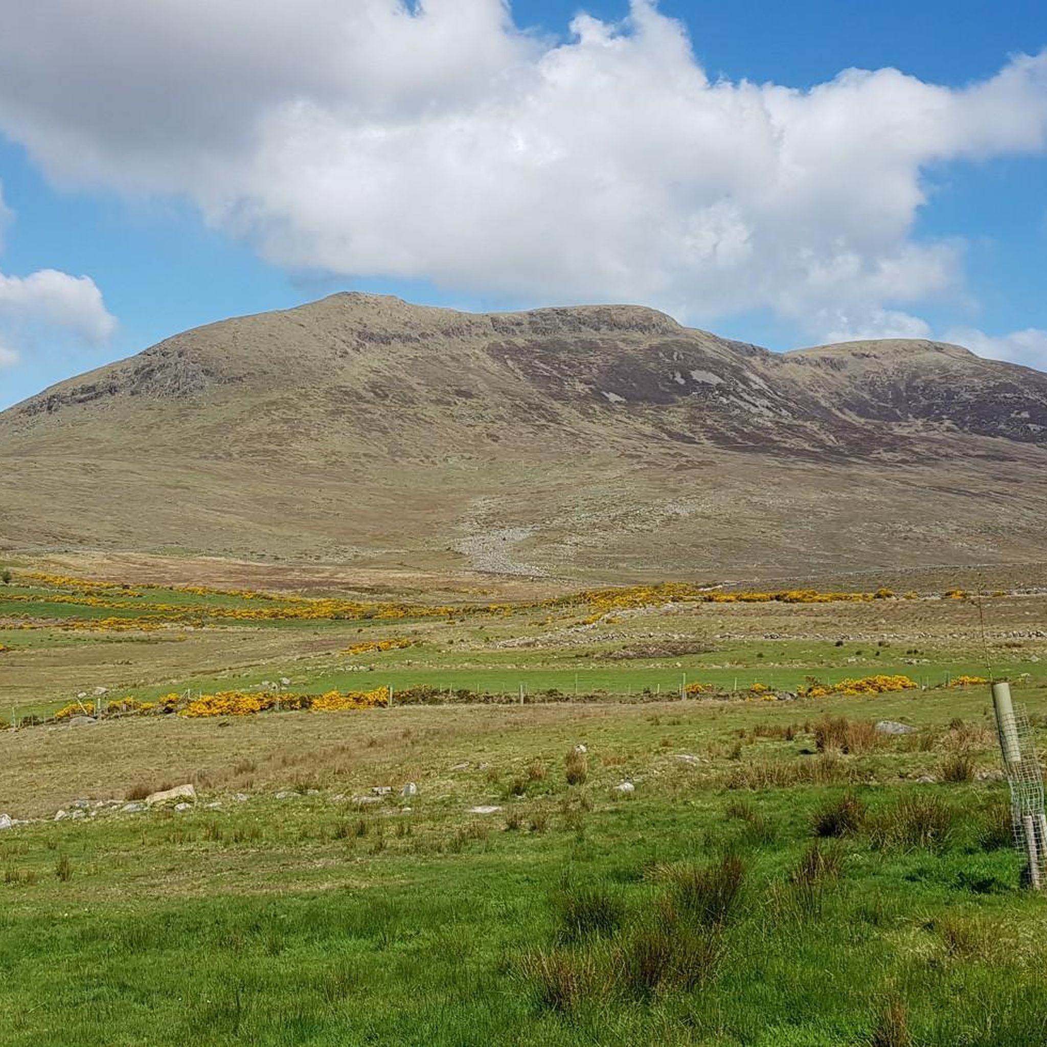
The well-maintained trails take you through impressive scenery, surrounded by the striking peaks of the Mournes. The view of the Mourne Wall, which stretches for 35 kilometers and connects 15 peaks, is particularly impressive. However, some sections can become slippery in wet weather, so caution is advised. A highlight is a visit to Ben Crom Reservoir, which can be reached via an extension of the route. Note that there is a fee to enter the park.
1
1
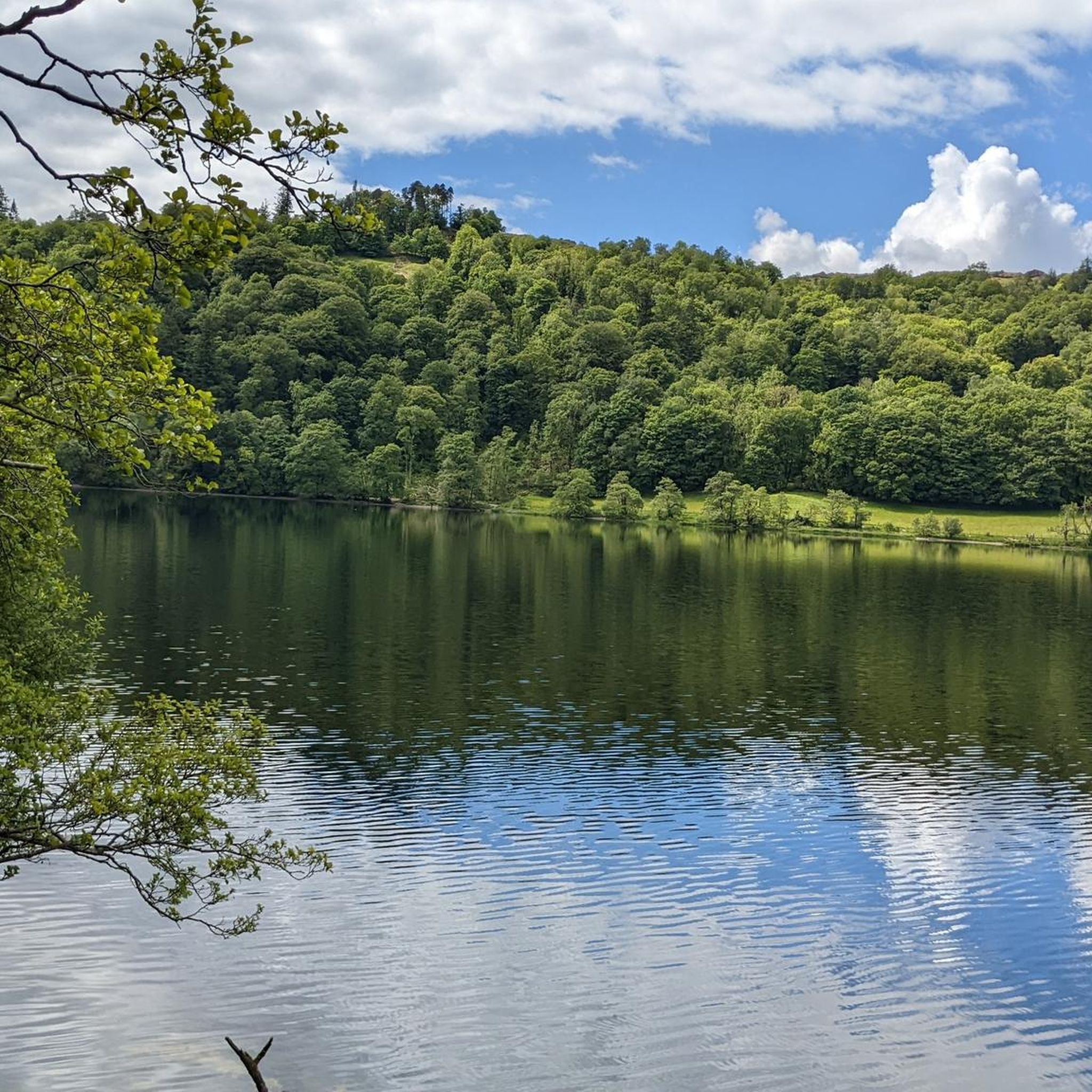
The narrow path winds through dense ferns and forests, and you can literally feel the silence around you - only the crunching of the tires on the gravel accompanies you.
1
0
It feels as if stories from times long past hang in the air here – the old tree has probably seen many seasons and radiates a certain calm and constancy.
1
0
This impressive tree, which has stood here for centuries, is a testament to the region's rich natural history. The paths leading there lead through dense forest and offer a pleasant ride away from traffic. However, some sections are slippery in wet weather, so care should be taken. A particular highlight is the proximity to the Cloughmore Stone, a huge boulder that was transported here during the last Ice Age.
1
0
Suddenly this ancient monolith rises before you, a silent witness to times gone by and myths. It stands alone on the green meadow, surrounded by a peaceful, almost mysterious silence.
1
0
모야드 어퍼 주변에서 가장 인기 있는 경로
모야드 어퍼 주변에서 가장 인기 있는 명소


더 살펴보기
다른 지역의 최고의 자전거 경로를 살펴보세요.
