머니도라 모어 어퍼 최고의 사이클링 경로
4.3
(9)
204
자전거 타는 사람
18
라이딩
머니도라 모어 어퍼 최고의 사이클링 경로를 찾으시나요? 머니도라 모어 어퍼에서 가장 멋진 자전거 라이딩 장소를 살펴본 후에 바로 떠나보세요. 여기서 마음에 드는 경로만 고르시면 돼요!
마지막 업데이트: 10월 10, 2026
5.0
(1)
5
자전거 타는 사람
55.3km
03:43
710m
710m
Embark on the Slievenaman loop from Newcastle, a challenging touring bicycle route that spans 34.4 miles (55.3 km) and features a significant elevation gain of 2319 feet (707 metres). This…
1
자전거 타는 사람
43.2km
03:13
730m
730m
This difficult 26.9-mile touring cycling loop takes you from Carrick Little to Tollymore Forest, offering coastal views and forest trails.

2
자전거 타는 사람
62.2km
03:51
360m
360m
Embark on the St John's Point Lighthouse loop from Newcastle for a moderate touring cycling experience across the scenic Lecale Peninsula. This route covers 38.7 miles (62.2 km) with an…
2
자전거 타는 사람
32.5km
02:03
310m
310m
Embark on the Newcastle to Clough Castle loop, a touring bicycle route spanning 20.2 miles (32.5 km) with an elevation gain of 1014 feet (309 metres). This moderate ride typically…
1
자전거 타는 사람
24.7km
01:34
300m
300m
Cycle Route 6 - The Head Road Route, a moderate 15.4-mile (24.7 km) touring cycling trail in the Mourne Area of Outstanding Natural Beauty.
더 다양한 경로와 다른 탐험가들의 추천을 살펴보세요.
이미 komoot 계정이 있나요?
투어 추천은 다른 사람들이 komoot에서 완료한 수천 개의 활동을 바탕으로 구성되어 있습니다.
오늘 무료 계정으로 시작하세요
다음 모험이 기다리고 있어요.

커뮤니티 팁

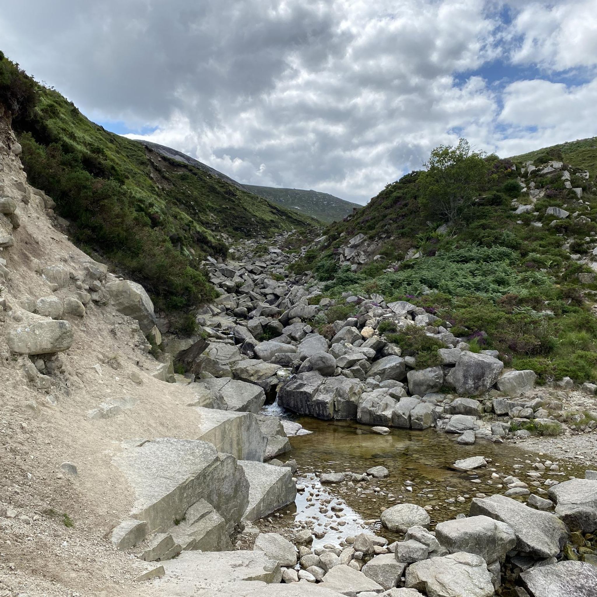
Silent Valley Reservoir, nestled in the Mourne Mountains, is a peaceful retreat surrounded by sweeping granite peaks and heathered slopes. Built in the early 20th century to supply water to Belfast and much of County Down, the reservoir combines striking engineering with natural beauty. Visitors can stroll along well-kept paths, admire the Victorian-style dam and impressive Mourne Wall, or simply enjoy the quiet atmosphere by the lakeshore.
4
1

The vast coastline stretches out endlessly before you, and the panorama with the majestic Mourne Hills in the background creates a scene that is hard to put into words. The gentle waves touching the sand and the silence of the surroundings make you feel the vastness and freedom of this place.
1
0
This historic 12th century building is a typical example of an Anglo-Norman motte with a kidney-shaped bailey. The 7.6m high mound, which once housed a wooden tower, was later replaced by a stone tower house, the ruins of which can still be seen today. Access is via Clough's main road; there is a small car park, but it is not always well signposted. Access is usually permitted. The surrounding countryside, with views of the Mourne Mountains, offers a tranquil atmosphere that invites you to linger.
1
0
This picturesque spot is located between Dundrum Bay and Murlough Bay and offers impressive views of the surrounding countryside. The paths there lead through the Murlough National Nature Reserve, a 6,000-year-old dune system that is great for cycling. However, some sections can become slippery in wet weather, so care must be taken. A particular highlight is the Downshire Bridge, which connects the village of Dundrum with the nature reserve and provides a charming crossing over the bay.
1
0
The route takes you along the Silent Valley Reservoir on a well-developed, asphalt road that is also suitable for less experienced drivers. However, it can be slippery in wet weather, so caution is advised. A special highlight is the impressive dam wall of the Ben Crom Reservoir, which blends harmoniously into the surrounding mountain landscape. Please note, however, that access to the park is subject to a fee.
0
0
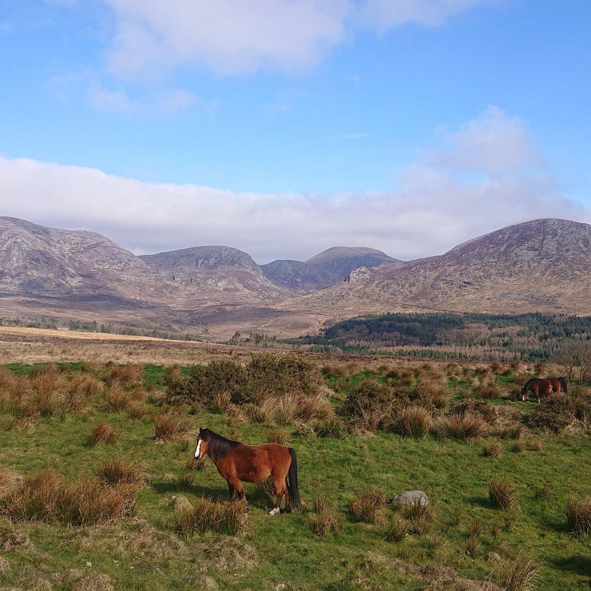
The well-maintained trails take you through impressive scenery, surrounded by the striking peaks of the Mournes. The view of the Mourne Wall, which stretches for 35 kilometers and connects 15 peaks, is particularly impressive. However, some sections can become slippery in wet weather, so caution is advised. A highlight is a visit to Ben Crom Reservoir, which can be reached via an extension of the route. Note that there is a fee to enter the park.
1
1
The gently ascending road winds through a wide, open landscape, surrounded by grassy hills and breathtaking silence. Only the wind and the quiet hum of the tires accompany you here as your gaze wanders into the distance. The climb may be challenging, but the view that opens up with every meter of altitude is worth the effort. Once at the top, you feel free and rewarded, as if you have conquered a piece of nature and then the reward comes with the descent.
0
0
Suddenly this ancient monolith rises before you, a silent witness to times gone by and myths. It stands alone on the green meadow, surrounded by a peaceful, almost mysterious silence.
1
0
머니도라 모어 어퍼 주변에서 가장 인기 있는 명소


더 살펴보기
다른 지역의 최고의 자전거 경로를 살펴보세요.
