셔번 최고의 워킹 & 하이킹 경로
4.7
(1540)
9,118
등산객
572
하이킹
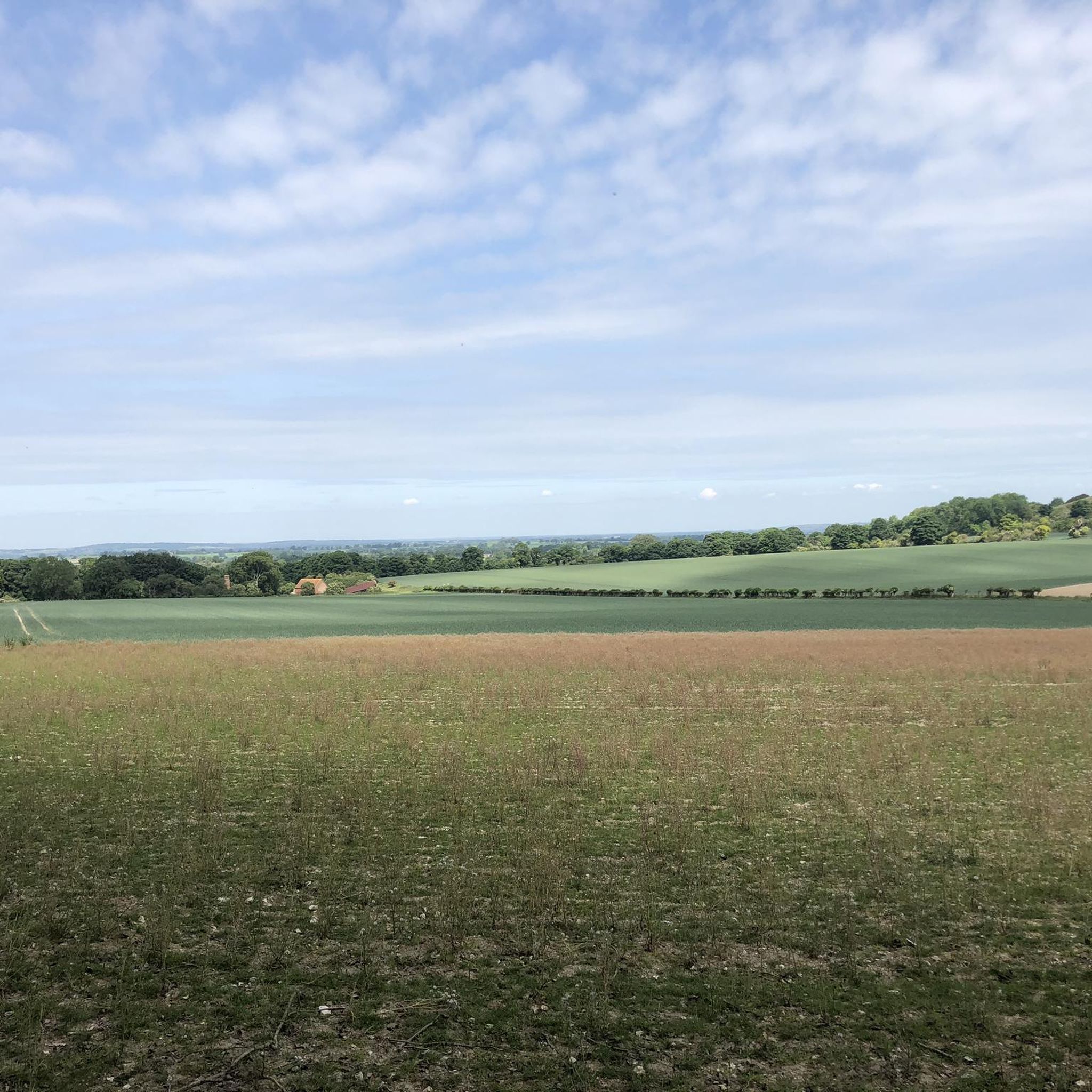
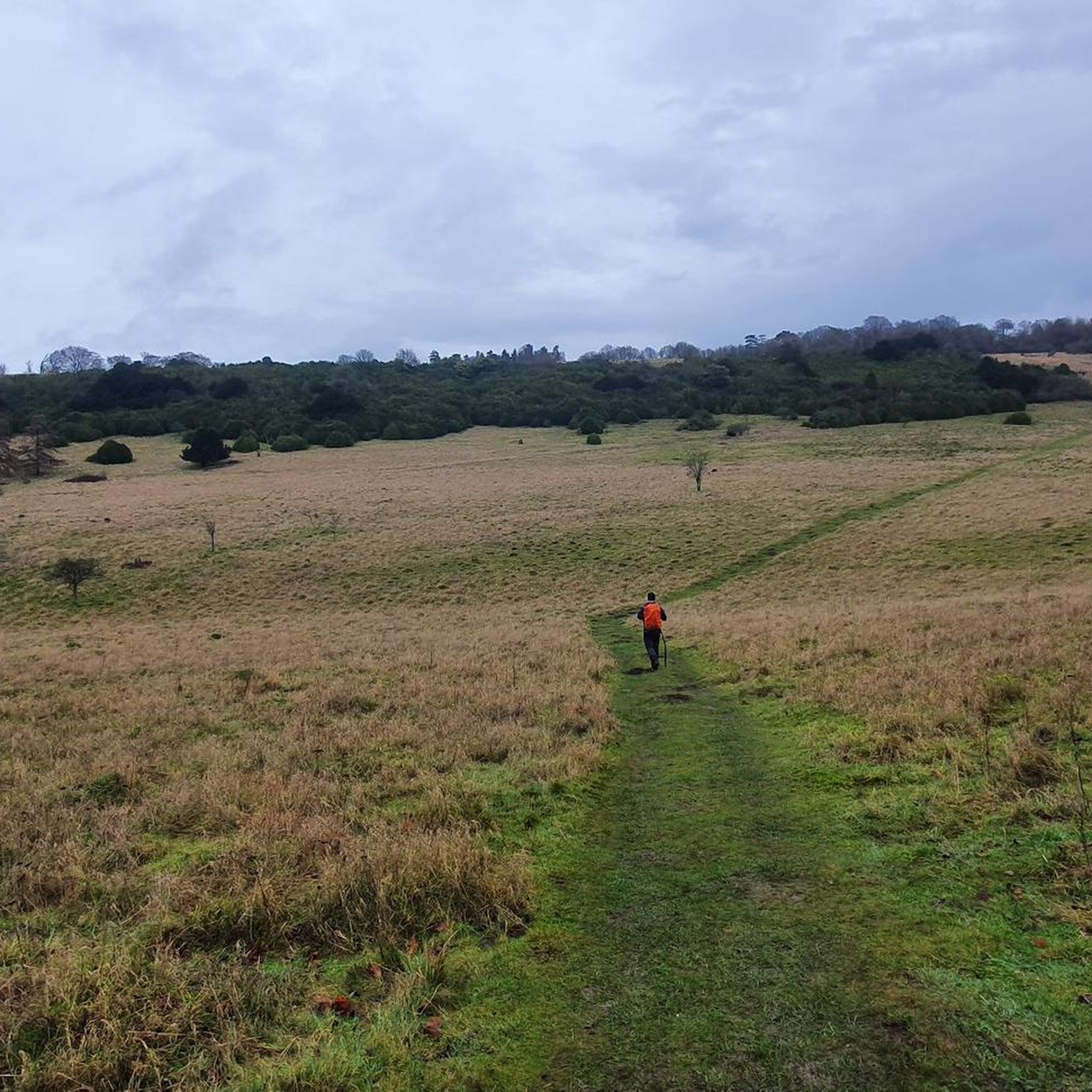
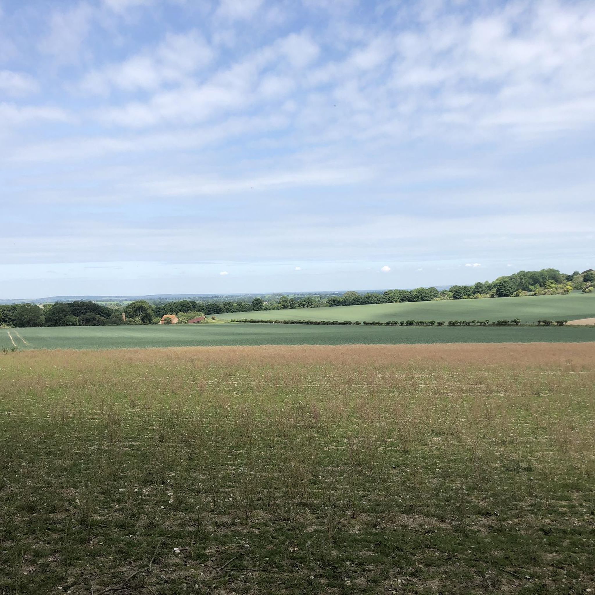
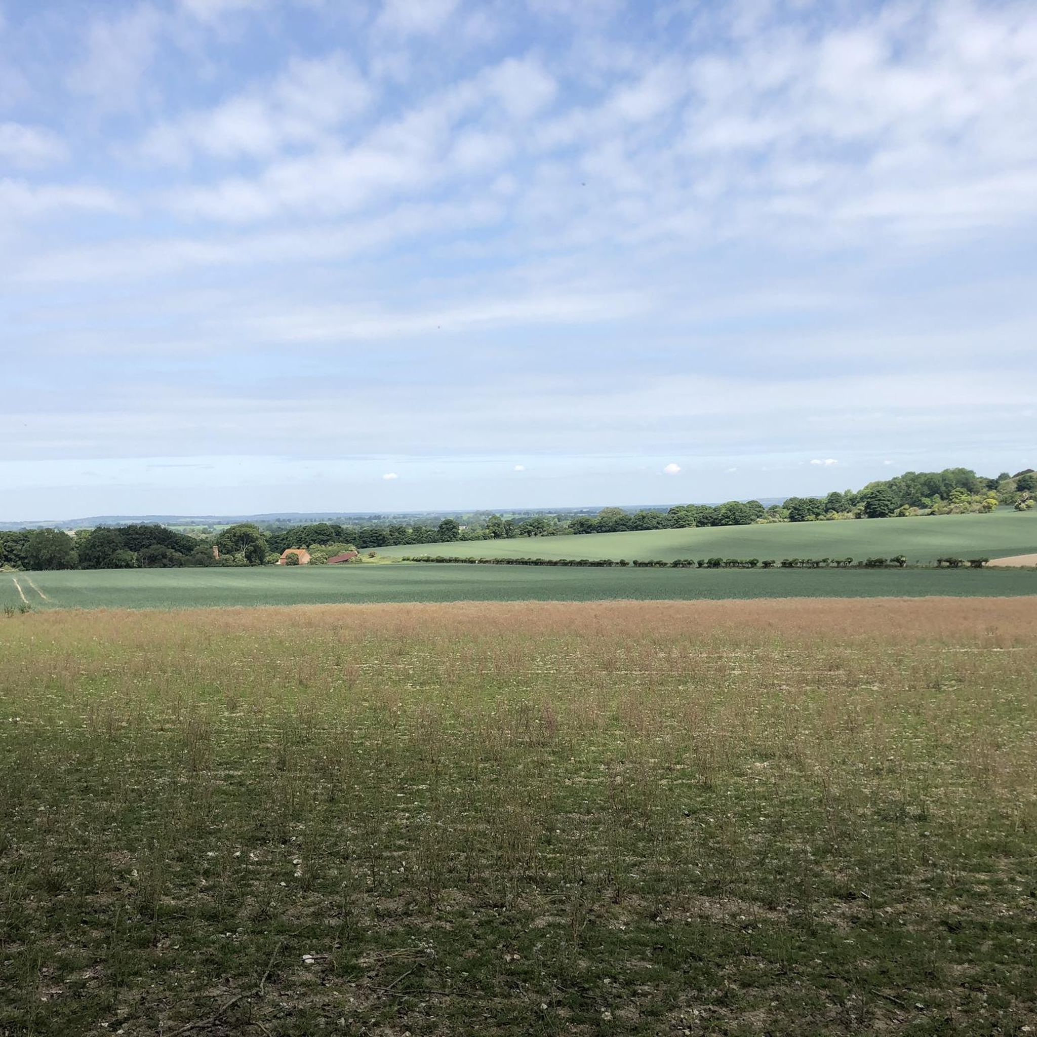
Shirburn 주변 하이킹은 Chiltern Hills Area of Outstanding Natural Beauty의 풍경을 탐험합니다. 이 지역은 구불구불한 언덕, 고대 너도밤나무 숲, 탁 트인 백악질 초원이 특징입니다. 잘 관리된 도보 경로 네트워크는 조용한 계곡과 탁 트인 전망을 제공하는 Chilterns 절벽으로의 접근을 제공합니다. Shirburn Hill은 이 절벽에 있는 큰 백악질 초원 지역입니다.
Shirburn 주변 최고의 하이킹 코스
- 가장 인기 있는 하이킹 코스는 Christmas Common에서 출발하는 Watlington Hill – Watlington White Mark 루프로, 3.7km 길이의 트레일이며 완료하는 데 1시간 5분이 걸립니다. 이 경로는 Watlington…
마지막 업데이트: 8월 29, 2026
4.8
(118)
407
등산객
11.4km
03:16
270m
270m
보통 하이킹. 좋은 체력 필요. 실력과 관계없이 누구나 쉽게 갈 수 있는 길.
4.5
(4)
27
등산객
3.69km
01:05
110m
110m
초급용 하이킹. 모든 체력 수준에 적합. 실력과 관계없이 누구나 쉽게 갈 수 있는 길.

무료 회원 가입
4.9
(11)
47
등산객
6.68km
01:52
120m
120m
초급용 하이킹. 모든 체력 수준에 적합. 실력과 관계없이 누구나 쉽게 갈 수 있는 길.
4.8
(16)
76
등산객
11.9km
03:24
260m
260m
보통 하이킹. 좋은 체력 필요. 실력과 관계없이 누구나 쉽게 갈 수 있는 길.
5.0
(6)
39
등산객
5.56km
01:36
120m
120m
초급용 하이킹. 모든 체력 수준에 적합. 실력과 관계없이 누구나 쉽게 갈 수 있는 길.
더 다양한 경로와 다른 탐험가들의 추천을 살펴보세요.
무료 회원 가입
이미 komoot 계정이 있나요?
투어 추천은 다른 사람들이 komoot에서 완료한 수천 개의 활동을 바탕으로 구성되어 있습니다.
오늘 무료 계정으로 시작하세요
다음 모험이 기다리고 있어요.
로그인 또는 가입하기
커뮤니티 팁

Lovely tracks and paths to run on, beautiful green space, quiet, serene, and sunlight filtering down through the leaves - a fantastic place to be!
1
0

Leave the car park on the path between the large signboards. Walk through woodland, crossing a track then go though a gate into grassland. (For this first section, follow the orange National Trust waymarkers as far as the White Mark.) Bear left, gently uphill on the grassy path ahead. 400m beyond the gate, the path bears slightly right and heads downhill in the direction of Watlington Village below. You pass the White Mark on your left then continue downhill, through a gate then down a track to meet a road.
1
0

Very lovely footpath that mostly follows the edge of the wood. Has good views out across the valley opposite.
0
0
Follows the Oxfordshire Way. It's a steep bridle path, that can get slippy when wet. Good views across the valley.
1
0
Great place to stop for picnic or tea/coffee. The higher the better the views
0
0
Stokenchurch Tower to the left. Often a herd of deer to the right
1
0

Lovely country pub (the highest pub in Oxfordshire at 242m). Friendly service in the beer garden. Fine pint of Brakspears and the ubiquitous pack of Nobby's Nuts (whatever happened to KP?).
1
0
셔번 주변에서 가장 인기 있는 경로
셔번 주변에서 가장 인기 있는 명소


더 살펴보기
다른 지역의 최고의 하이킹를 살펴보세요.
