경로

플래너

기능

업데이트

App

로그인 또는 가입

앱 다운로드

로그인 또는 가입

로그인 또는 가입

경로
등산
오스트리아
티롤
인스부르크

셀레인

셀레인 최고의 등산 경로

4.8

(298)

3,511

등산객

151

하이킹

셀레인에서 하이킹하며 인스부르크 구석 부분까지 살펴볼까요? 셀레인에 있는 모든 하이킹 및 워킹 경로 컬렉션 중 가장 멋진 하이킹 경로를 엄선하여 소개해드릴게요. 다른 하이커가 공유한 실제 팁과 사진을 살펴보고 후기를 읽으며 마음에 드는 셀레인 워킹 경로를 찾아보세요.

마지막 업데이트: 5월 11, 2026

4.7

(15)

185

등산객

#1.

Praxmar에서 출발하는 프락스마러 지르베 – Praxmarer Himmelbaum 순환 코스

12.2km

06:38

1,140m

1,140m

어려운 등산 코스. 우수한 체력 필요. 튼튼한 신발을 신고 미끄러지지 않게 조심해야 하며, 높은 산을 오른 경험이 있어야 함.

기기에서 길안내

휴대폰으로 전송

저장

어려움

어려운 등산 코스. 좋은 체력 필요. 튼튼한 신발을 신고 미끄러지지 않게 조심해야 하며, 높은 산을 오른 경험이 있어야 함.

어려움
guide_signup
저희가 komoot 모바일 앱로 길을 안내해 드리겠습니다.
무료 komoot 계정로 끝없는 야외 모험을 손쉽게 찾고, 맞춤 설정하며 길안내할 수 있어요.

무료 회원 가입

어려운 등산 코스. 우수한 체력 필요. 튼튼한 신발을 신고 미끄러지지 않게 조심해야 하며, 높은 산을 오른 경험이 있어야 함.

어려움

보통 등산 코스. 좋은 체력 필요. 대부분 갈 수 있는 길. 미끄러지지 않게 조심해야 함.

보통

어려운 등산 코스. 좋은 체력 필요. 튼튼한 신발을 신고 미끄러지지 않게 조심해야 하며, 높은 산을 오른 경험이 있어야 함.

어려움
무료 회원 가입 후 셀레인 주변 하이킹 경로를 147개 더 확인하세요

더 다양한 경로와 다른 탐험가들의 추천을 살펴보세요.

무료 회원 가입

이미 komoot 계정이 있나요?

투어 추천은 다른 사람들이 komoot에서 완료한 수천 개의 활동을 바탕으로 구성되어 있습니다.

오늘 무료 계정으로 시작하세요

다음 모험이 기다리고 있어요.
로그인 또는 가입하기

셀레인 주변 인기 장소

절린 알프스를 7일 동안 - 절린러 훼텐룬데

셀레인 로드 사이클링 경로

셀레인 하이킹

셀레인 사이클링

셀레인 MTB 트레일

셀레인 러닝 트레일

셀레인 주변 그래블 라이딩

셀레인 주변의 다른 모험

절린 알프스를 7일 동안 - 절린러 훼텐룬데

하이킹 컬렉션 에 의해

Innsbruck

커뮤니티 팁

scaurum
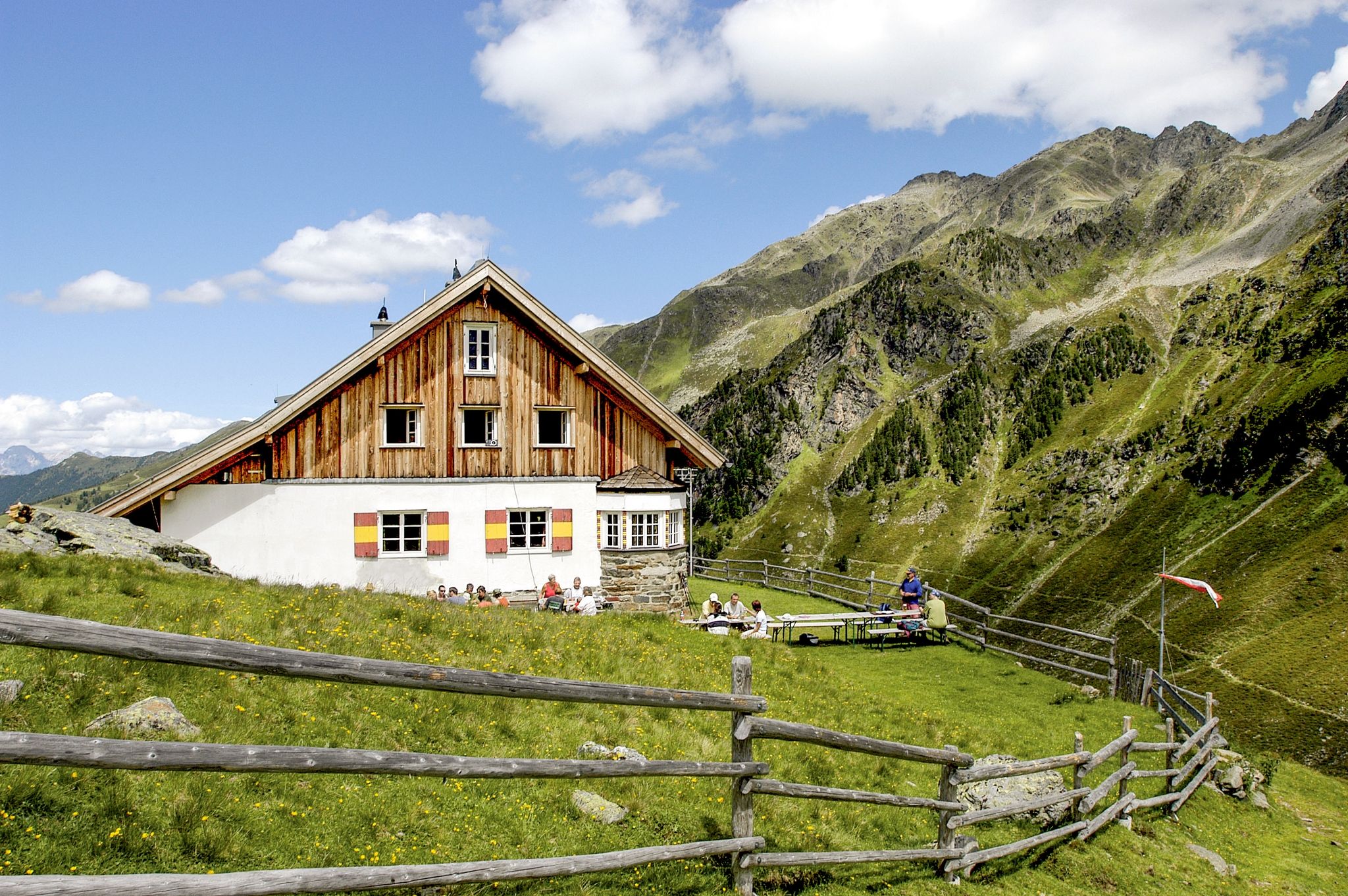
2월 23, 2026, Juifenalm

Please note our opening hours! The 2025/26 season was Monday 10:00 AM - 5:00 PM and Wednesday to Sunday 10:00 AM - 8:00 PM - special arrangements apply on public holidays. Cash only!

번역: Google

1

0

scaurum
2월 23, 2026, Juifenalm

The hut is very popular due to its delicious food (awarded 3 stars/Edelweiss by Falstaff in 2025 https://www.falstaff.com/de/huetten/juifenalm-sellrain). In winter, when outdoor seating isn't possible, it gets quite crowded, and getting a table quickly isn't guaranteed. However, the staff tries their best to please everyone with their good humor. A big thank you to the service and the kitchen!

번역: Google

1

0

Lara
8월 23, 2025, Kemater Alm

Lots of cute farm animals, and a small fridge sells cheese and eggs from the farm, so having the right cash on you will be a joy :)

번역: Google

0

0

A very lovingly run hut, ideally located for various hikes and climbs. Many guests have stayed here several nights to enjoy more flexibility with minimal luggage. We felt very comfortable on our hut hike. The highlight is probably the food, which is incredibly delicious and fresh!

번역: Google

0

0

Joshua
8월 23, 2024, Breiter Gratweg

Very well marked and wide ridge path

번역: Google

0

0

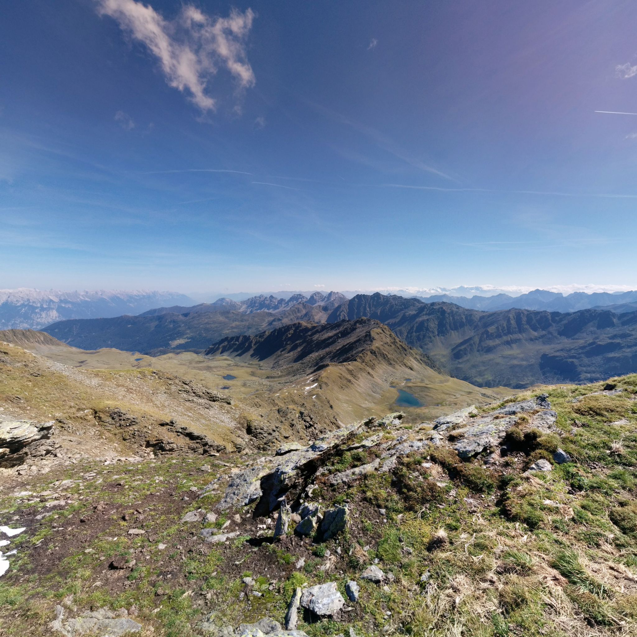
The ascent from Praxmar via Köllenzeiger/Oberstkogel is mainly along narrow but easily accessible mountain paths. Only a few places are narrower on more exposed steep slopes, but it can happen that landslides, earthy/gravelly areas have to be overcome. The ridge path is very wide at the beginning and only becomes more demanding in the last 150m below the summit. This is where the scrambling/easy climbing to the summit begins. The key point is a sloping slab directly on the ridge, which has to be climbed over for 4-5m. Directly below the summit is another slab, but this is secured with a chain and pins. Great panoramic view from the summit and a fairly large summit plateau for a relaxing break. The descent via the Satteljoch/Marlerbachtal begins steeply on gravel before you reach the ridge, which has little difference in altitude. On the ridge you have to climb around/over a few places before you go down over the scree field into the valley. From here on, the terrain is mostly easy. The path often runs along the stream and invites you to stop for a refreshment. The ascent from Praxmar is signposted as 4 hours on both options, but can certainly be done more quickly for experienced hikers. The paths are mostly well marked. Suitable as a first 3000m peak if surefootedness and easy climbing are not a problem.

번역: Google

4

1

The summit cross of the neighboring and slightly higher Oberstkogel is located here. Up to here the path is not very demanding, and there are a few easy climbs as you continue to cross the ridge. The view of Sellrain and towards Zischgeles etc is very beautiful.

번역: Google

2

0

One of the quicker to reach 3000m peaks in Sellrain with a beautiful view of the Zugspitze, Karwendel and some of the Stubai and Zillertal peaks. Great tour, especially with the short ridge hike over the Oberstkogel. Not particularly technically demanding, especially if you avoid the aforementioned tightrope walk. In winter the Zischgeles is popular as a ski tour.

번역: Google

3

0

셀레인 주변에서 가장 인기 있는 경로

셀레인 로드 사이클링 경로

셀레인 주변에서 가장 인기 있는 명소

Natural Monuments

Store rating

komoot 모바일 앱으로 영감을 받아보세요

무료 komoot 계정로 끝없는 야외 모험을 손쉽게 찾고, 맞춤 설정하며 길안내할 수 있어요.

또는

지금 komoot에 가입하세요

Store rating

더 살펴보기

다른 지역의 최고의 산악 하이킹 & 경로를 살펴보세요.

스투바이 알프스Region Seefeld – Tirols Hochplateau스투바이탈턱서 알프스위프탈홀 와튼스장크트 지그문트 임 셀레인인징랑겐악사머 리줌수다난감하다그리스 임 셀레인버기츠볼스티롤의 케마텐괴첸스오버퍼퍼스플레어링그린젠악삼스오버호펜 임 인탈티롤의 투표해팅Kalkkögel

근처 어드벤처 가이드

그리스 임 셀레인 즐길거리

background

새로운 정복을 위한 준비를 하세요

무료로 가입하기

탐험하기
경로경로 플래너기능하이킹MTB 트레일로드 사이클링 경로바이크패킹사이트맵
앱 다운로드
소셜 미디어에서 팔로우하기

© komoot GmbH

개인 정보 보호 정책