경로

플래너

기능

업데이트

App

로그인 또는 가입

앱 다운로드

로그인 또는 가입

경로
하이킹
오스트리아
포랄베르그
브레겐츠

미텔베르그

미텔베르그 최고의 워킹 & 하이킹 경로

4.6

(30219)

131,607

등산객

353

하이킹

정확한 경로를 찾는 것이 때로는 어렵지만 미텔베르그에서 하이킹을 하면 다양한 경치를 마음껏 감상할 수 있답니다. 미텔베르그에서 가장 멋진 하이킹과 워킹 중에서 마음에 드는 활동을 시작해보세요.

마지막 업데이트: 7월 15, 2026

4.8

(1645)

7,360

등산객

#1.

브라이타흐클람에서 폭포치는 자연 체험

5.98km

01:51

220m

220m

초급용 하이킹. 모든 체력 수준에 적합. 실력과 관계없이 누구나 쉽게 갈 수 있는 길.

기기에서 길안내

휴대폰으로 전송

저장

초급

Embark on a moderate ridge hike on the Fellhorn, a 6.4-mile (10.3 km) round trip from the Kanzelwand in the Allgäu Alps. This route offers continuous panoramic views of the Kleinwalsertal and the unique Gottesacker plateau as you traverse a broad, grass-covered ridge. You will gain about 1666 feet (508 metres) in elevation, taking approximately 3 hours and 48 minutes to complete. Look out for vibrant alpine roses blooming in June and July across the lush meadows, earning the Fellhorn its nickname as the "flower mountain." While generally accessible, some sections are briefly exposed and secured with wire ropes, requiring sure-footedness.

Planning your visit, you should be aware that this hike requires good fitness and sturdy footwear. The Kanzelwand and Fellhorn cable cars provide excellent accessibility, allowing you to reach the ridge without significant strenuous ascents. This makes the high-alpine experience suitable for a wide range of hikers, including families, who wish to focus on the ridge walk itself. Be prepared for potentially slippery conditions and snow if you hike outside of the main summer season.

What makes this trail particularly notable is its unique cross-border experience; the ridge forms the natural boundary between Germany and Austria, allowing you to literally walk between two countries. The continuous, sweeping views of the Allgäu Alps and surrounding valleys are a constant draw. The trail's popularity, especially on weekends, is a testament to its spectacular panoramas and diverse landscape, blending rugged alpine terrain with gentle, grassy ridges.

보통
guide_signup
저희가 komoot 모바일 앱로 길을 안내해 드리겠습니다.
무료 komoot 계정로 끝없는 야외 모험을 손쉽게 찾고, 맞춤 설정하며 길안내할 수 있어요.

무료 회원 가입

4.9

(1435)

5,662

등산객

어려운 하이킹. 우수한 체력 필요. 대부분 갈 수 있는 길. 미끄러지지 않게 조심해야 함.

어려움

4.7

(1029)

3,906

등산객

초급용 하이킹. 모든 체력 수준에 적합. 실력과 관계없이 누구나 쉽게 갈 수 있는 길.

초급

4.8

(852)

3,248

등산객

보통 하이킹. 좋은 체력 필요. 대부분 갈 수 있는 길. 미끄러지지 않게 조심해야 함.

보통
무료 회원 가입 후 미텔베르그 주변 하이킹 경로를 349개 더 확인하세요

더 다양한 경로와 다른 탐험가들의 추천을 살펴보세요.

무료 회원 가입

이미 komoot 계정이 있나요?

투어 추천은 다른 사람들이 komoot에서 완료한 수천 개의 활동을 바탕으로 구성되어 있습니다.

오늘 무료 계정으로 시작하세요

다음 모험이 기다리고 있어요.

로그인 또는 가입하기

미텔베르그 주변 인기 장소

스타인벅토우어 확장 - 알게오이 알프스 순항

알고이 최고의 경험 – 오버알고이 주변 라운드

부와스타일시 아우리스시 - Min Weag 제도 민제 선랑드
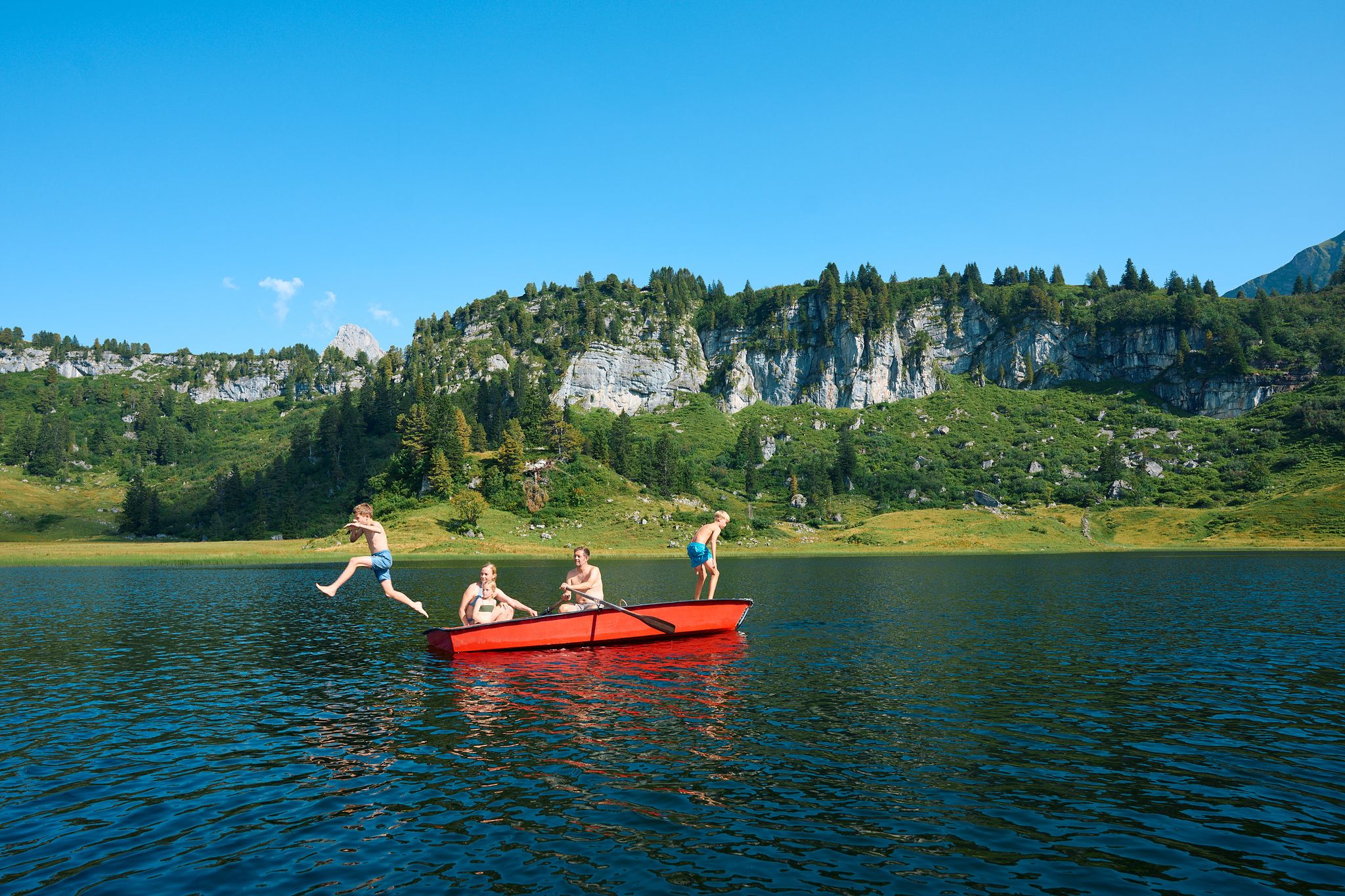
The mirrors of the mountains – hiking the alpine lakes of Warth-Schröcken
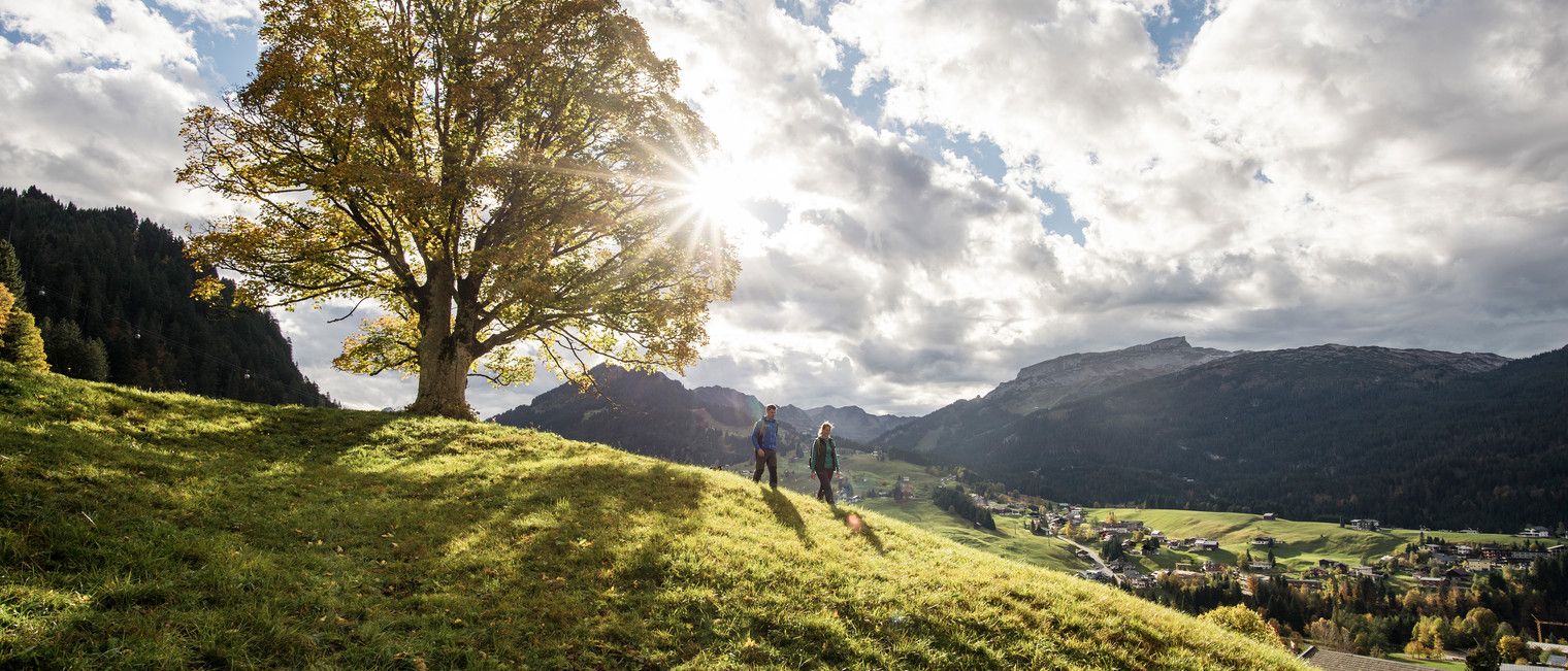
On foot into a sea of colour – autumn in Kleinwalsertal
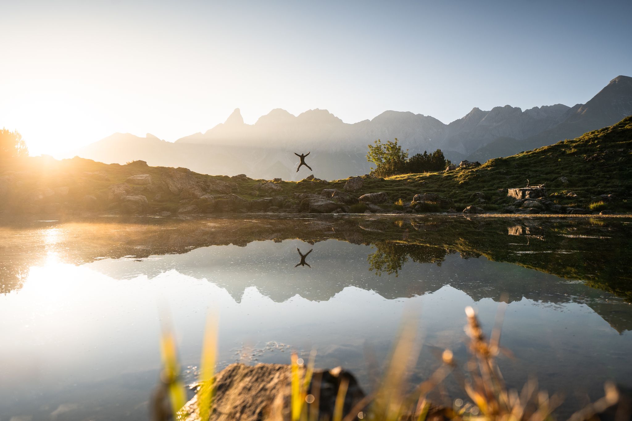
Hiking in Oberstdorf – experience the Allgäu Alps at your own pace
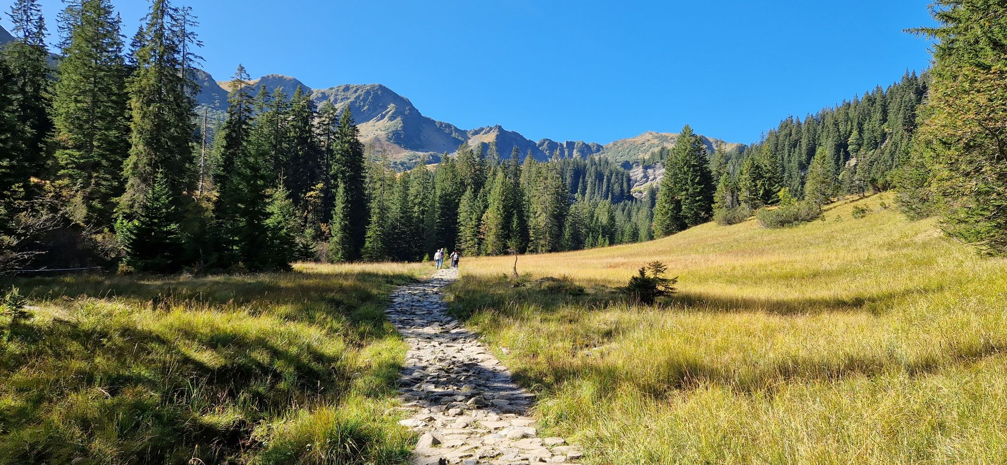
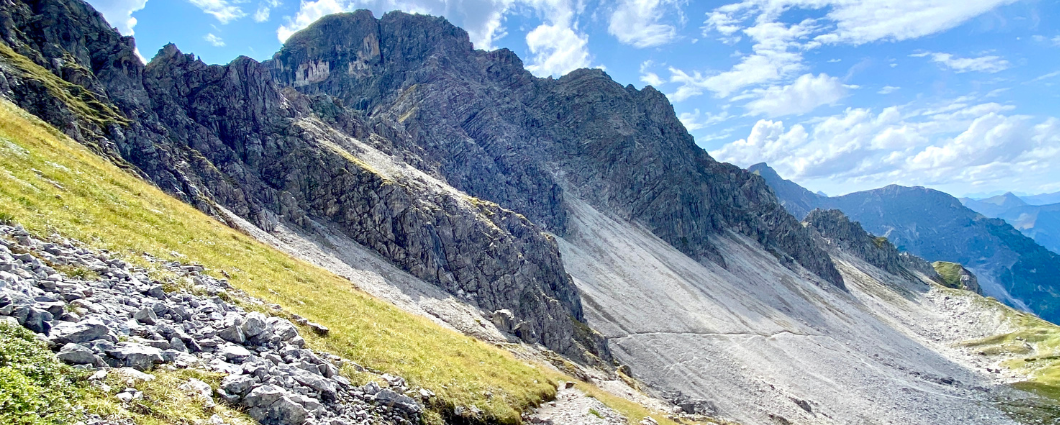
자연의 아름다움 압축 - 클라인발서탈 & 브레겐젤르발드
3개 봉우리, 2개 나라, 2일 - 클라인발젤르탈의 국경 하이킹
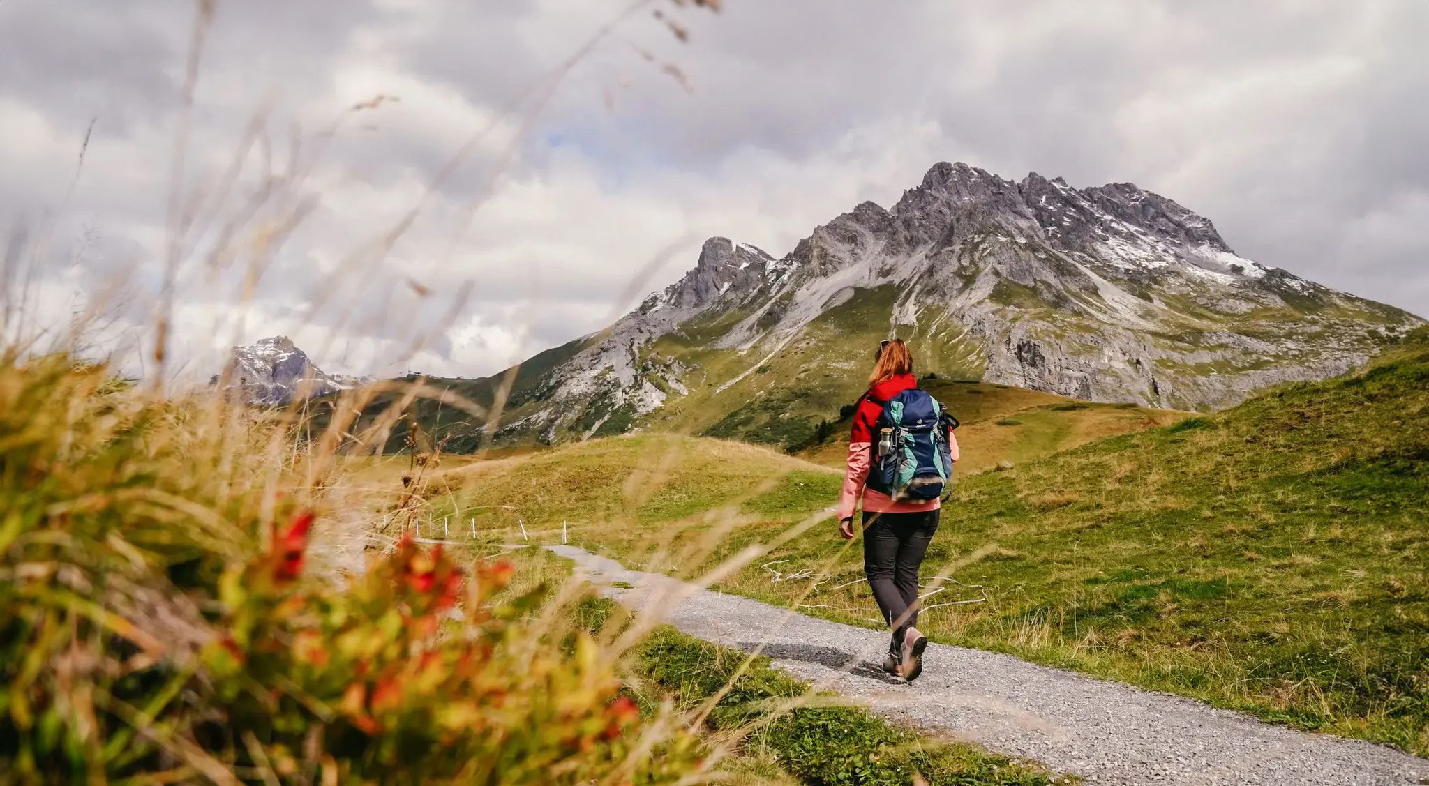
Vorarlberg in autumn – the 6 most beautiful hikes in the golden season
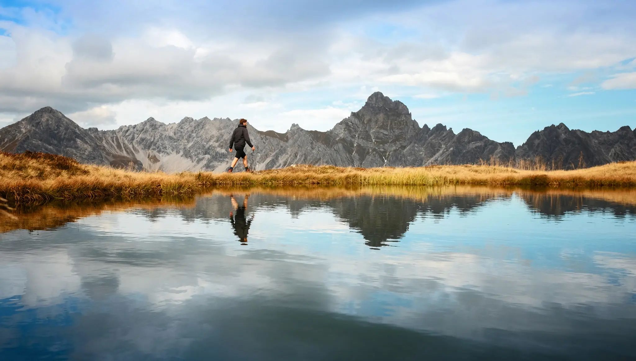
Golden season – autumn hikes in Vorarlberg

미텔베르그 주변의 다른 모험

스타인벅토우어 확장 - 알게오이 알프스 순항

하이킹 컬렉션 에 의해

Mareike

커뮤니티 팁

Tim
11월 15, 2025, Panoramic View at Gemstel Pass

⚠️ For anyone planning to take this route by mountain bike: We went from Warth to Mittelberg over the pass, which worked out fine… However, be prepared for hours of carrying your bike, which isn't entirely safe.

번역: Google

0

0

Simply a fantastic hike! Since I'm not afraid of heights, I was skeptical, but I had no problems! Two sections after the Fellhorn summit were secured with ropes, but they weren't dangerous. In dry conditions and with good footwear, I highly recommend it!

번역: Google

4

1

A well-maintained ridge hiking trail with stunning views of the Kleinwalsertal and Illertal valleys. The trail is also suitable for children and large dogs. Sturdy footwear is recommended, especially in wet weather.

번역: Google

2

0

A tough climb is rewarded with a good view.

번역: Google

8

1

From here you have a wonderful view of the Kleinwalsertal and Fellhorn

번역: Google

9

0

Magnificent views on both sides. If you don't walk this stretch, you'll miss the best

번역: Google

2

0

Here we came to the end of our walk around the Widderstein (from the Hochtannbergpass car park) and saw a marmot at dusk and heard many others calling. 😍 The views of the surrounding peaks are also magnificent.

번역: Google

0

0

미텔베르그 주변에서 가장 인기 있는 경로

미텔베르그 MTB 트레일

미텔베르그 주변에서 가장 인기 있는 명소

Mountain Peaks

Store rating

komoot 모바일 앱으로 영감을 받아보세요

무료 komoot 계정로 끝없는 야외 모험을 손쉽게 찾고, 맞춤 설정하며 길안내할 수 있어요.

또는

지금 komoot에 가입하세요

Store rating

더 살펴보기

다른 지역의 최고의 하이킹를 살펴보세요.

클라인발서탈브레겐츠 숲히르쉐그리즐렌로하우아이헨베르크Strehler Wald모거딱딱한라인델타랑겐 바이 브레겐츠푸자흐볼푸르트케넬바흐빌트슈타인라인홀츠호브란츠Lauteracher Ried라우터라흐지그마젤가이사우부흐호엔바일러슈바르자흐회흐스트

근처 어드벤처 가이드

클라인발서탈 즐길거리

background

새로운 정복을 위한 준비를 하세요

무료로 가입하기

탐험하기
경로경로 플래너기능하이킹MTB 트레일로드 사이클링 경로바이크패킹사이트맵
앱 다운로드
소셜 미디어에서 팔로우하기

© komoot GmbH

개인 정보 보호 정책
