볼푸르트 최고의 워킹 & 하이킹 경로
4.6
(20024)
104,311
등산객
54
하이킹
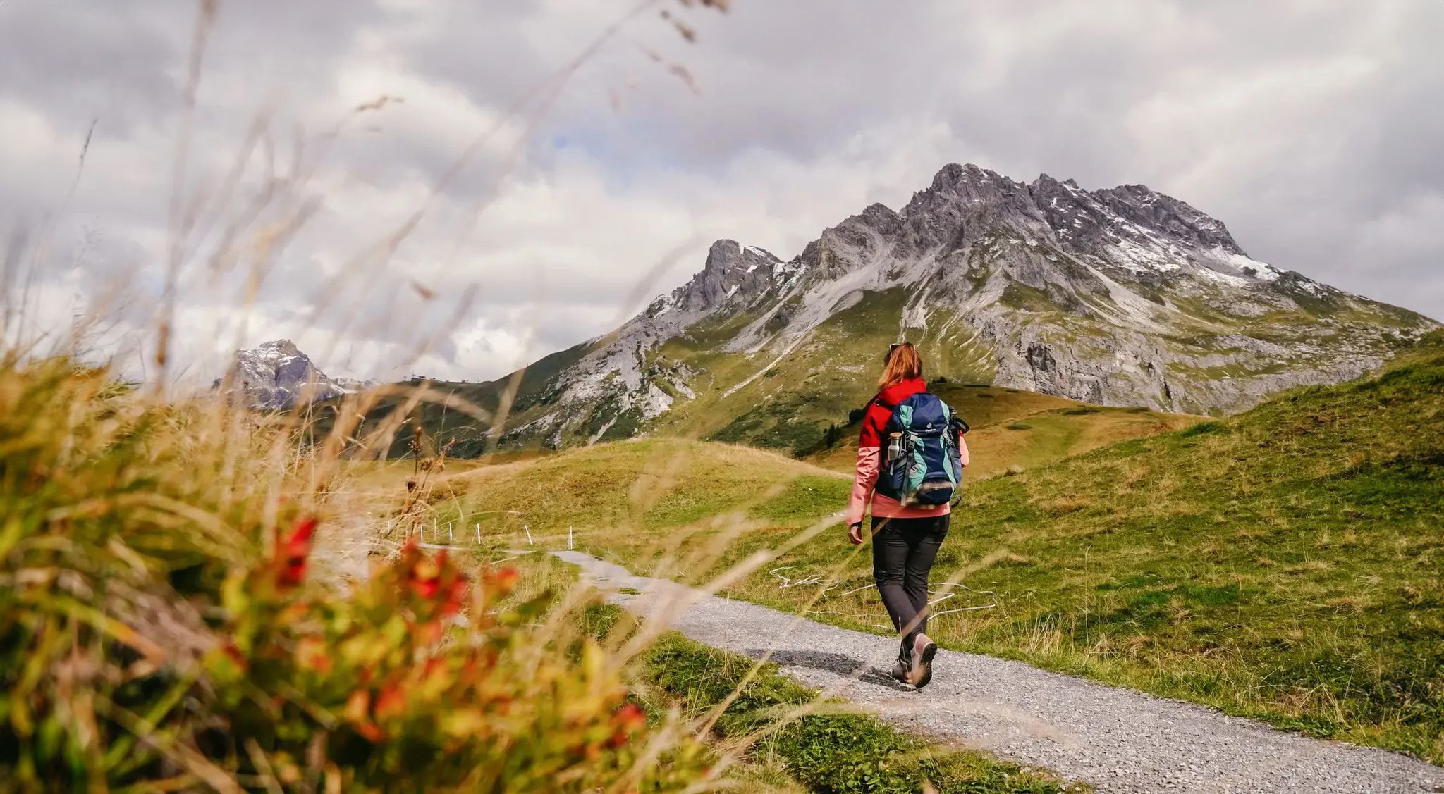
Komoot에 등록된 볼푸르트 내 트레일 및 경로 컬렉션 중에서 하이킹과 워킹을 가장 멋지게 즐길 수 있는 곳을 알려드릴게요. 아래에서 각 경로의 상세 정보를 모두 확인한 후, 볼푸르트 속 자연에서 즐거운 시간을 누려보세요.
마지막 업데이트: 10월 18, 2026
4.7
(36)
123
등산객
21.2km
06:07
490m
490m
어려운 하이킹. 우수한 체력 필요. 튼튼한 신발을 신고 미끄러지지 않게 조심해야 하며, 높은 산을 오른 경험이 있어야 함.
3.7
(7)
110
등산객
5.62km
01:26
20m
20m
초급용 하이킹. 모든 체력 수준에 적합. 실력과 관계없이 누구나 쉽게 갈 수 있는 길.

4.7
(3)
92
등산객
7.12km
02:35
360m
360m
어려운 하이킹. 좋은 체력 필요. 튼튼한 신발을 신고 미끄러지지 않게 조심해야 하며, 높은 산을 오른 경험이 있어야 함.
4.6
(15)
56
등산객
16.5km
05:18
690m
690m
어려운 하이킹. 우수한 체력 필요. 실력과 관계없이 누구나 쉽게 갈 수 있는 길.
5.0
(2)
40
등산객
10.2km
03:13
400m
400m
보통 하이킹. 좋은 체력 필요. 대부분 갈 수 있는 길. 미끄러지지 않게 조심해야 함.
더 다양한 경로와 다른 탐험가들의 추천을 살펴보세요.
이미 komoot 계정이 있나요?
투어 추천은 다른 사람들이 komoot에서 완료한 수천 개의 활동을 바탕으로 구성되어 있습니다.
오늘 무료 계정으로 시작하세요
다음 모험이 기다리고 있어요.




커뮤니티 팁

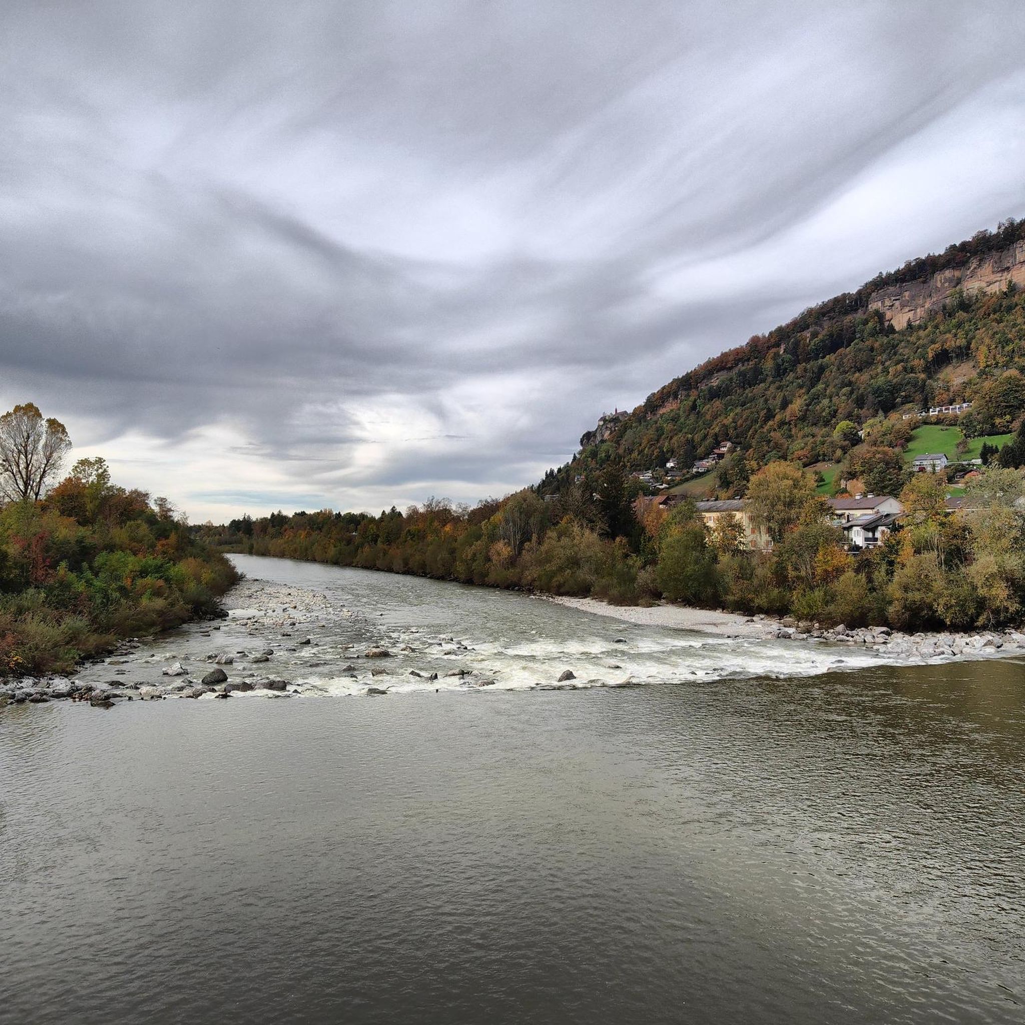
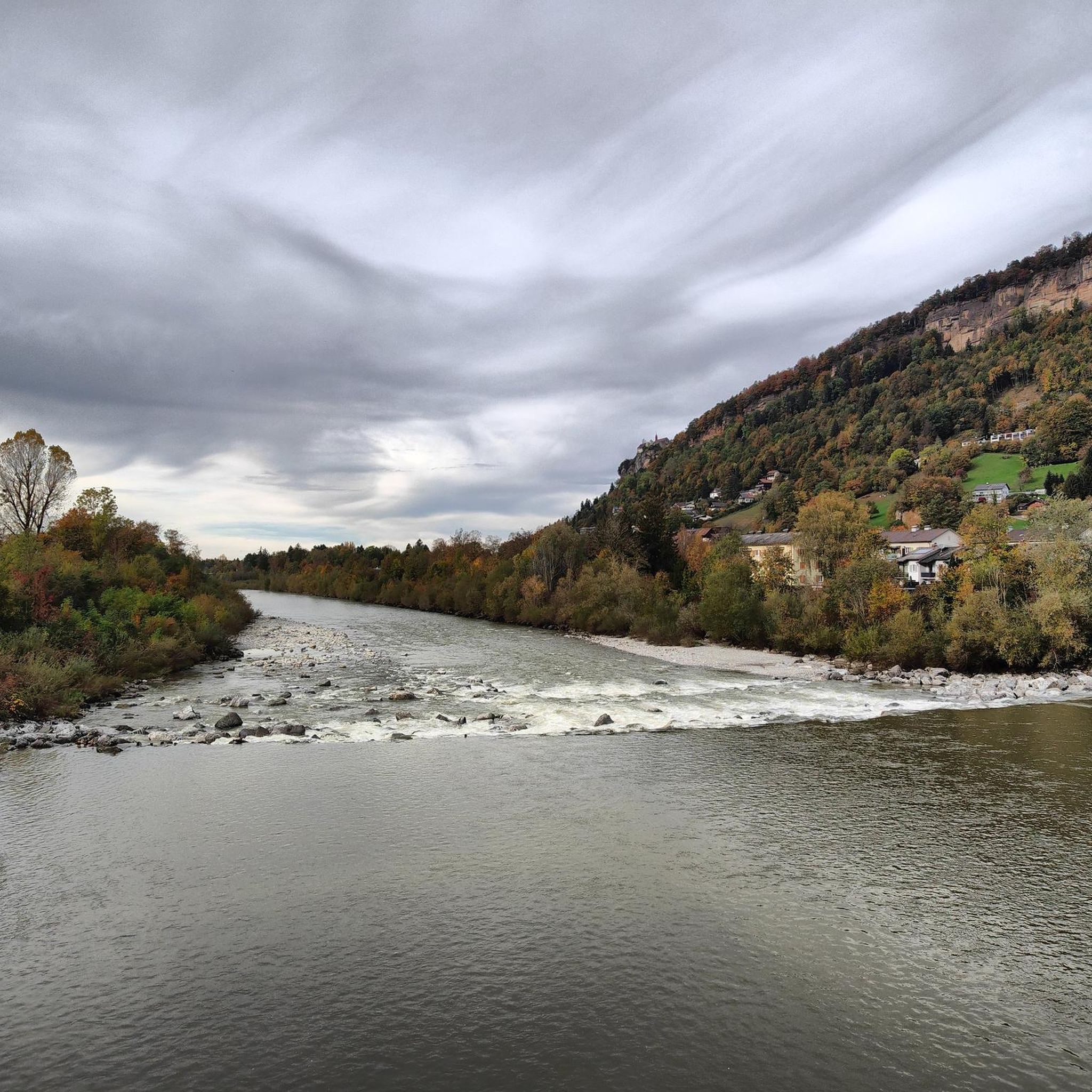
브레겐처 아흐에는 매우 물결 모양의 침식된 사암 절벽으로 이루어진 섬이 있으며, 물과 함께 매우 아름다운 형태를 이룹니다. 수위가 다소 낮을 때 남쪽 해안에서 쉽게 접근할 수 있습니다.
1
0


From here you have a beautiful view up to the Pfänder mountain station, which sits above the meadows and wooded areas near the summit. You can see the cable car, trails, and visitors arriving and disappearing at the top, while Bregenz and Lake Constance lie below you. It's the perfect spot for a quick photo stop and to get your bearings before continuing your hike.
5
0
From the Pfänder mountain, you can enjoy a sweeping view across Lake Constance and over to the Bregenzerwald forest with its rolling hills and mountains. Below you lie Bregenz and the Rhine Valley, and beyond, the lake and peaks shimmer in competition with each other. An ideal spot for a panoramic break, perfect for taking photos and guaranteed to awaken your wanderlust.
7
0
From here you have a beautiful view up to the Pfänder summit with its distinctive transmission tower and the expansive meadow slopes. As you hike, you can clearly see how the paths and trails wind their way towards the summit. It's an ideal spot for a short panoramic stop to plan the rest of your route.
5
0

There's delicious Moor beer up there. That's good motivation for a summit climb.
5
0


더 살펴보기
다른 지역의 최고의 하이킹를 살펴보세요.
