위너 최고의 워킹 & 하이킹 경로
4.7
(287)
978
등산객
116
하이킹
정확한 경로를 찾는 것이 때로는 어렵지만 위너에서 하이킹을 하면 다양한 경치를 마음껏 감상할 수 있답니다. 위너에서 가장 멋진 하이킹과 워킹 중에서 마음에 드는 활동을 시작해보세요.
마지막 업데이트: 10월 14, 2026
5.0
(66)
78
등산객
5.45km
01:23
10m
10m
초급용 하이킹. 모든 체력 수준에 적합. 실력과 관계없이 누구나 쉽게 갈 수 있는 길.
4.8
(6)
20
등산객
5.75km
01:28
10m
10m
초급용 하이킹. 모든 체력 수준에 적합. 실력과 관계없이 누구나 쉽게 갈 수 있는 길.

5.0
(69)
82
등산객
5.85km
01:29
10m
10m
초급용 하이킹. 모든 체력 수준에 적합. 실력과 관계없이 누구나 쉽게 갈 수 있는 길.
4.8
(5)
28
등산객
3.58km
00:55
10m
10m
초급용 하이킹. 모든 체력 수준에 적합. 실력과 관계없이 누구나 쉽게 갈 수 있는 길.
22
등산객
2.96km
00:45
10m
10m
초급용 하이킹. 모든 체력 수준에 적합. 실력과 관계없이 누구나 쉽게 갈 수 있는 길.
더 다양한 경로와 다른 탐험가들의 추천을 살펴보세요.
이미 komoot 계정이 있나요?
투어 추천은 다른 사람들이 komoot에서 완료한 수천 개의 활동을 바탕으로 구성되어 있습니다.
오늘 무료 계정으로 시작하세요
다음 모험이 기다리고 있어요.
위너 주변의 다른 모험

커뮤니티 팁


Weener의 역사적인 항구는 16세기에 지어진 그림 같고 역사적인 항구입니다. 구시가지 깊숙이 자리 잡고 있으며 현재 최대 40척의 역사적인 전통 선박을 수용할 수 있습니다. 오래된 시민 주택과 창고로 둘러싸여 있어 산책을 시작하기에 좋은 장소입니다. Ems- Dollart
0
0


Cozy harbor, it invites you to linger.
1
0

Shared pasture land sometimes along stream valleys or sometimes heathland. A common land or mient, also common land, is a territory where several people jointly have rights and obligations, for example to cultivate it, keep livestock there and maintain it, as occurred in the Low Countries from the 12th century onwards. In addition to the name meent, which mainly occurred in Groningen and Friesland, it was called marke in other regions such as Drenthe, Twente, Salland, the Veluwe, around Zutphen, in Het Gooi and on the Utrechtse Heuvelrug. In Brabant it was called geeynt and in Flanders it was also called 'vroen'. From Wikipedia Ownership of the lands where there was a common was largely in the hands of large landowners such as the Diocese of Utrecht, the Stift Essen, the County of Bentheim or the fief of the Diocese of Münster and from the mid-14th century also the Duchy of Guelders. The large landowners issued rights for the use and management of the land to the farmers. https://nl.wikipedia.org/wiki/Meent The situation may have arisen with the introduction of the feudal system. Where the Saxon Germans and Frisians were given certain freedoms within the villages/settlements, but the central authority was in charge in the countryside. As a result, fiefs were often created in strategic places in the countryside. On the Ems in this area you had fiefs of Brahe, Waldenburg, Leewenburg (Diele) and possibly also (N)esseborg. A number of fiefs initially belonged to several monasteries, which were later transferred to the authorities. Some fiefs were assigned to high officials/ministerials (often from Westphalia), who were then responsible for collecting the use of the shared lands of the marks. Over time, the influence of the central authority diminished and the goods ended up in the hands of local influential families.
0
1

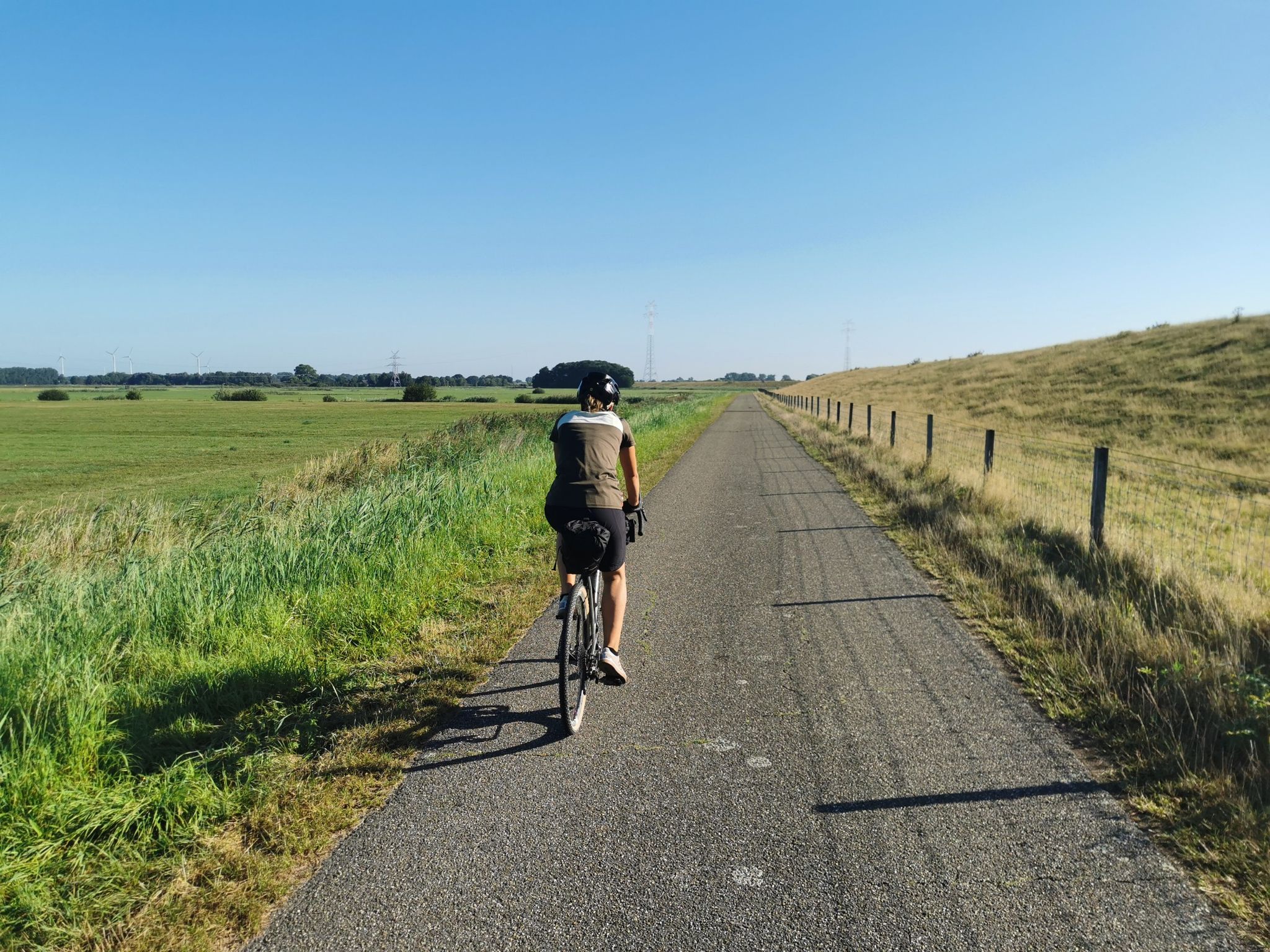
Cycling through nature
1
0

Beautiful sculpture of the village women.
2
2
위너 주변에서 가장 인기 있는 경로
위너 주변에서 가장 인기 있는 명소


더 살펴보기
다른 지역의 최고의 하이킹를 살펴보세요.
