빌섹 최고의 워킹 & 하이킹 경로
4.5
(162)
737
등산객
97
하이킹
정확한 경로를 찾는 것이 때로는 어렵지만 빌섹에서 하이킹을 하면 다양한 경치를 마음껏 감상할 수 있답니다. 빌섹에서 가장 멋진 하이킹과 워킹 중에서 마음에 드는 활동을 시작해보세요.
마지막 업데이트: 10월 14, 2026
4.7
(22)
57
등산객
7.68km
02:00
50m
50m
초급용 하이킹. 모든 체력 수준에 적합. 실력과 관계없이 누구나 쉽게 갈 수 있는 길.
4.7
(14)
52
등산객
3.54km
00:55
30m
30m
초급용 하이킹. 모든 체력 수준에 적합. 실력과 관계없이 누구나 쉽게 갈 수 있는 길.

4.6
(8)
18
등산객
7.39km
02:02
130m
130m
보통 하이킹. 좋은 체력 필요. 실력과 관계없이 누구나 쉽게 갈 수 있는 길.
4.6
(8)
17
등산객
10.7km
02:57
170m
170m
보통 하이킹. 좋은 체력 필요. 실력과 관계없이 누구나 쉽게 갈 수 있는 길.
4.8
(9)
25
등산객
10.1km
02:38
70m
70m
보통 하이킹. 좋은 체력 필요. 실력과 관계없이 누구나 쉽게 갈 수 있는 길.
더 다양한 경로와 다른 탐험가들의 추천을 살펴보세요.
이미 komoot 계정이 있나요?
투어 추천은 다른 사람들이 komoot에서 완료한 수천 개의 활동을 바탕으로 구성되어 있습니다.
오늘 무료 계정으로 시작하세요
다음 모험이 기다리고 있어요.
커뮤니티 팁


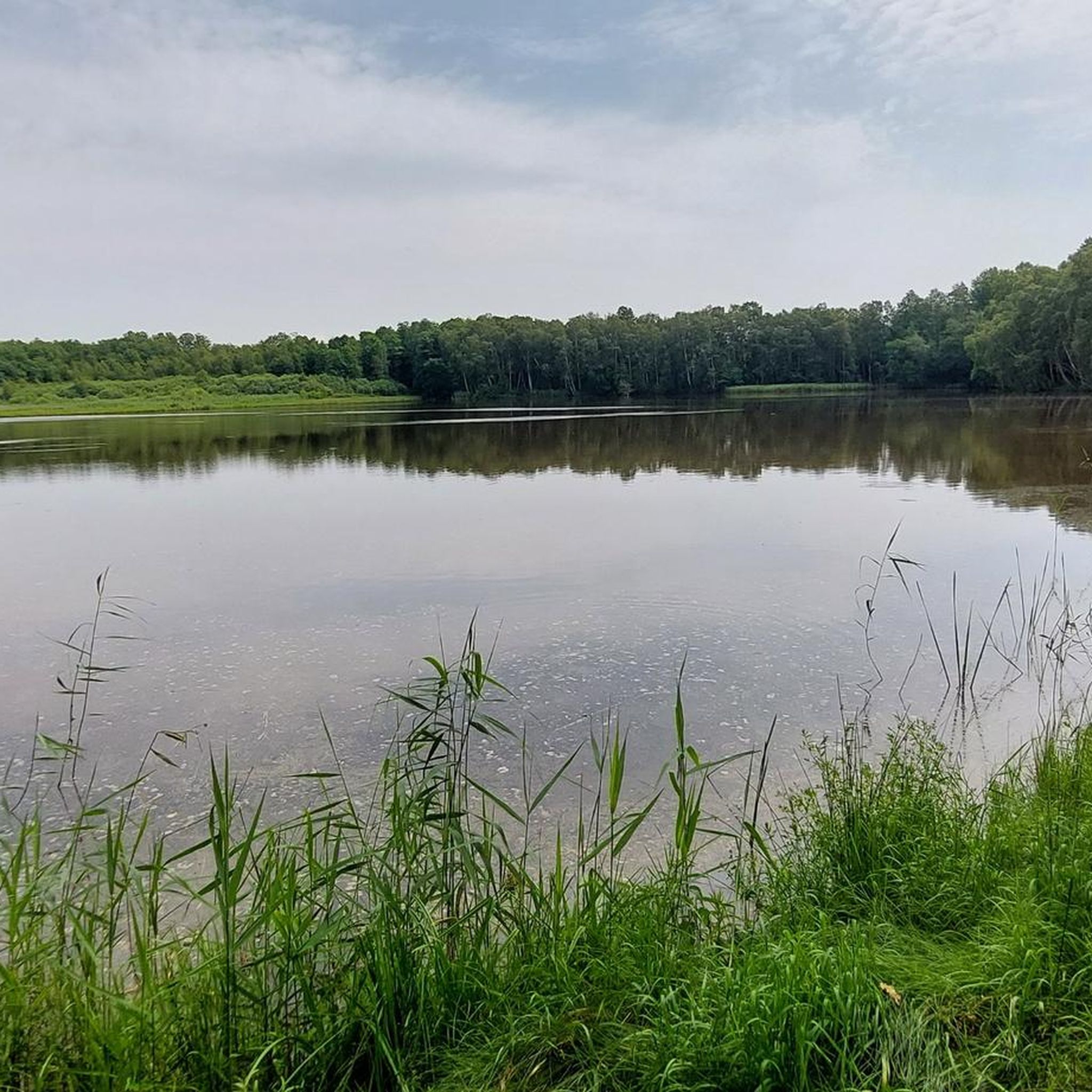
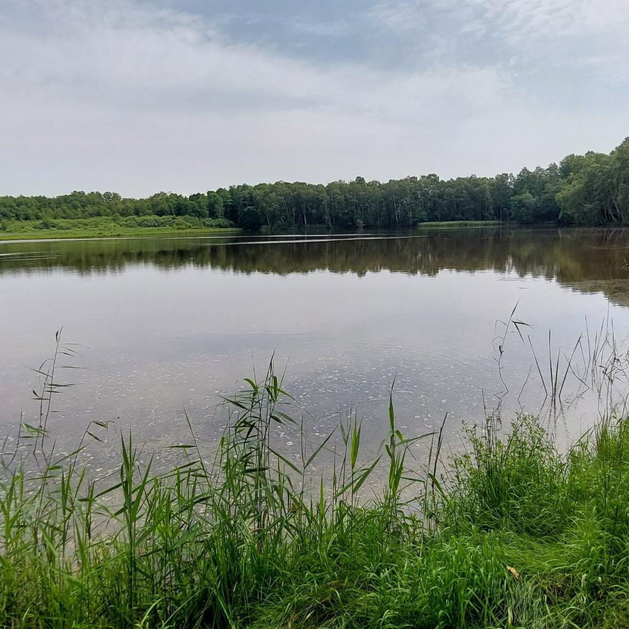
Beautiful view of the floodplain landscape. Great place to take a break on the tower.
1
0


Vilsecker Mulde nature reserve The Vilsecker Mulde is a nature reserve on the upper reaches of the Vils. Hackelweiher, Großer Schleierweiher, Großer Sollerweiher or Wagenweiher are some of the wet meadows that the Bund Naturschutz has been maintaining in the Vilsecker Mulde for many years. The names indicate a former use as a fish pond. In the Middle Ages there was an extensive pond landscape in the Vilsecker Mulde. For several generations there have also been wet meadows, alder and birch swamp forests, tall herb meadows, buckthorn bushes and pine forests between Vilseck and Freihung. The wet meadows in the Vilsecker Mulde in particular are home to a large number of endangered species. The association "Der BUND-Naturschutz" district group Amberg-Sulzbach takes care of animals such as the dock green scurry, the spotted darter, the western damsel damsel, the marsh grasshopper, the marsh cricket, the large gold cricket, the tree frog or the corncrake with farmers about the correct management of the land. Above all, this means mowing as late as possible and avoiding fertilization and plant protection. In addition to mowing and the right technology, the water balance is playing an increasingly important role. An attempt is made to keep the water in the area so that it can be drained away. The drainage ditches should therefore be managed in such a way that they are drained in coordination with professional nature conservation. The Vilsniederung lies in the natural area of the "Upper Palatinate hill country" in the natural subunit of the "Vilsecker Kreidemulde". Due to the close "interlocking" with other ecologically significant areas of life in the Vilsecker Mulde, the areas represent an ideal component in the sense of a biotope network. The meadows are mowed annually to prevent bush encroachment and to maintain them as a species-rich meadow. Plants such as the marsh bloodeye, the burning buttercup, the small rattle or the saxifrage are striking in the meadows in spring. Many different species from the sedge families (a plant genus from the sedge family), rushes and grasses also find a home. Source: Bund Naturschutz – Amberg-Sulzbach district group
1
0
빌섹 주변에서 가장 인기 있는 명소


더 살펴보기
다른 지역의 최고의 하이킹를 살펴보세요.
