하셀트에서 가장 멋진 10개의 산 정상
하셀트의 산 정상에 오르면 이 지역의 아름다운 모습을 제대로 구경할 수 있어요. 다만, 10
곳이나 되는 산 정상 중에서 어떤 곳을 가야 할 지 고민된다는 게 문제죠. 하셀트에서 가장 멋진 산 정상을 살펴본 후에 마음에 드는 산 정상을 다음 모험 계획에 추가해보세요.
마지막 업데이트: 8월 25, 2026
테릴 반 바테르셰이
하이라이트 • 자연 기념물
번역자 Google •
팁에 의해

Lieteberg 맨발 산책로 입구
하이라이트 • 트레일
번역자 Google •
팁에 의해

이런 장소를 발견하려면 지금 가입하세요
최고의 싱글 트랙, 봉우리 및 다양한 흥미로운 야외 장소에 대한 추천을 받아보세요.
무료 회원 가입

세 개의 별 포인트, 헤우스덴-졸더 탄광 더미 정상
하이라이트 • 정상
번역자 Google •
팁에 의해
계단(베링언의 최고점)
하이라이트 • 정상
The Beringen slag heap …
번역자 Google •
팁에 의해

메텐베르크를 따라 이어진 비포장 움푹 팬 옛길
하이라이트 (구간) • 트레일
번역자 Google •
팁에 의해
Avonturenberg 테릴 1 정상
하이라이트 • 정상
번역자 Google •
팁에 의해
베링겐 테릴 전망대
하이라이트 • 전망대
번역자 Google •
팁에 의해
Kepkensberg
하이라이트 • 자연 기념물
번역자 Google •
팁에 의해
노란 루트에서 바라보는 테릴과 연못, Natuurdomein Klaverberg
하이라이트 • 전망대
번역자 Google •
팁에 의해

무료로 가입하여 하셀트 주변의 더 많은 봉우리를 발견하세요.
무료 회원 가입
이미 komoot 계정이 있나요?
오늘 무료 계정으로 시작하세요
다음 모험이 기다리고 있어요.
로그인 또는 가입하기
하셀트 주변 인기 장소

플랑드르에서 아르덴까지 — 벨기에 GR 5
Entre bières et patrimoine — Véloroute des abbayes trappistes
플랜더스 디바이드 - 플랜더스를 가로지르며
Three days through Belgian Limburg – art, heritage and views
블로섬, 보센 엔 베르보르헌 에르프호드 – 스트레크-GR 하스펭고우
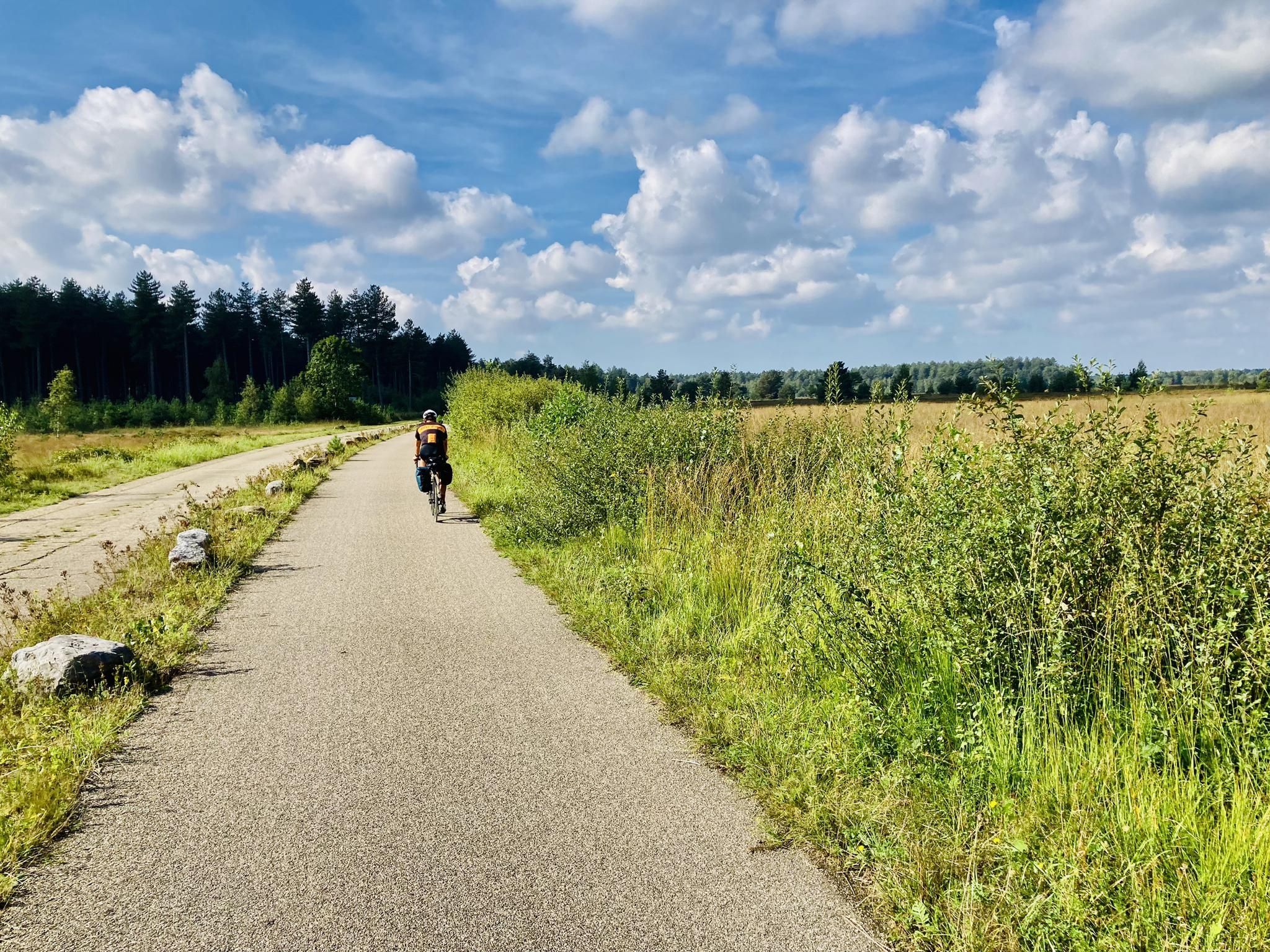
탐험 캠펜 - 캠펜 루트에서의 3일간의 자전거 모험
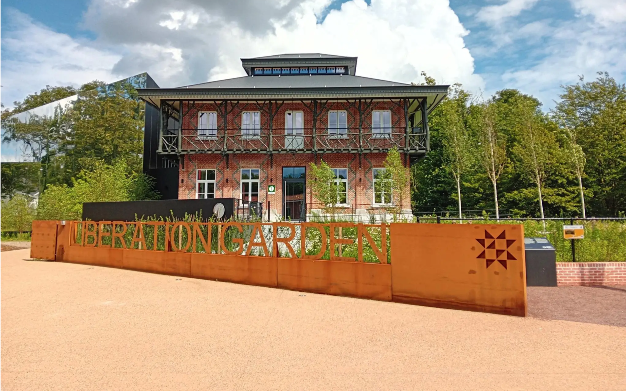
Operatie Market Garden – 스포르티브한 WOII 역사 수업
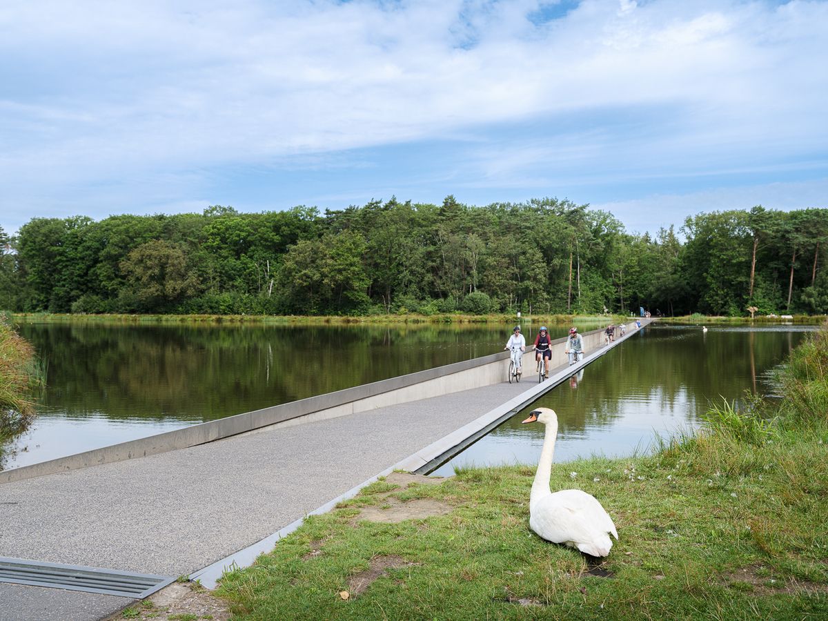
Flanders' Finest Cycle Routes: routes to discover Flemish nature and heritage
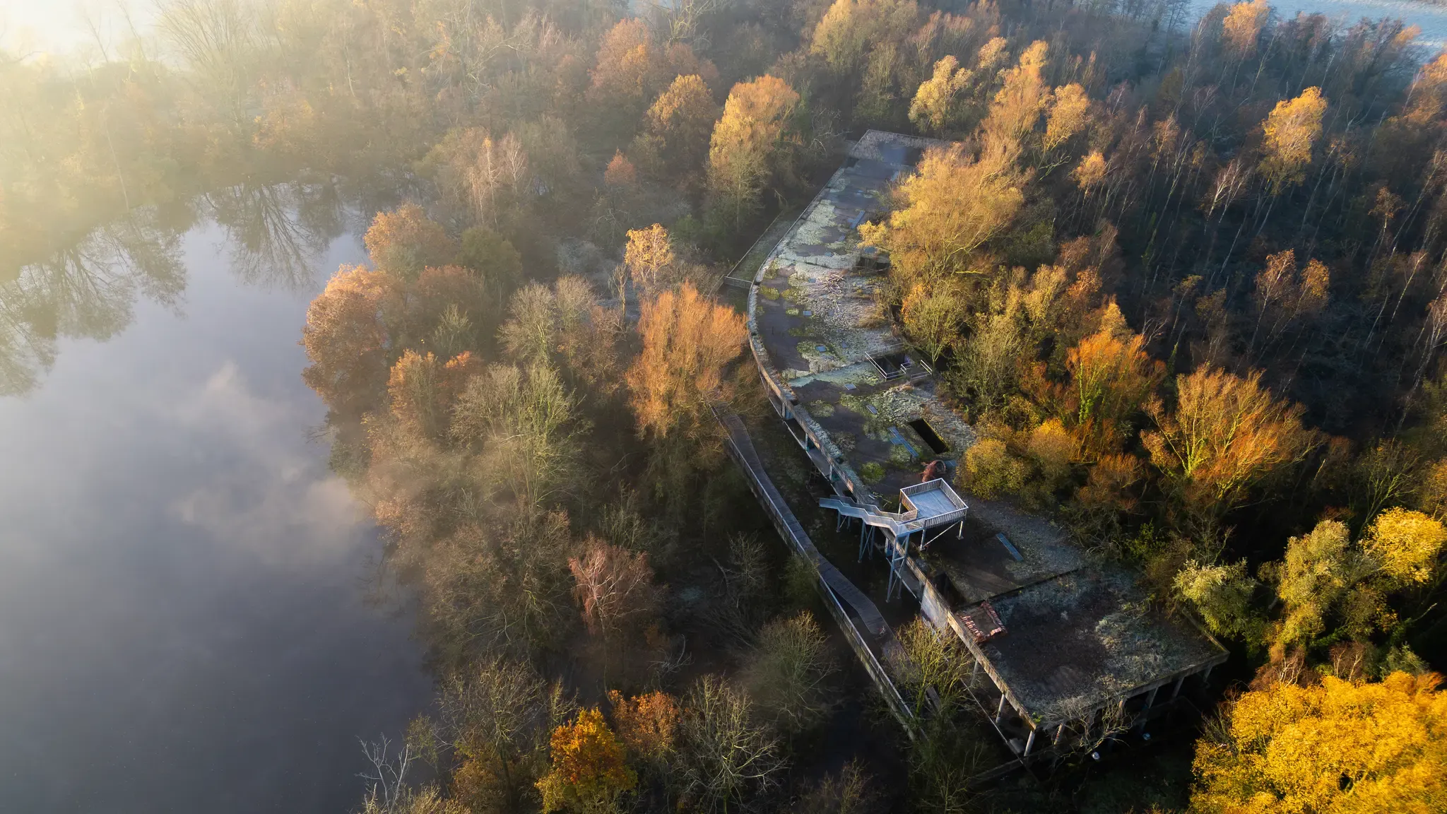
Treinstappers – from station to station in Flanders
드라이다흐세 내셔널 파크 트레일 (반위트 헹크 스타티온)
하셀트 주변의 다른 모험


커뮤니티 팁

At the top of the small slag heap is a 360° viewing platform with explanations and directions in all directions of where you are looking.
4
0

The Waterschei spoil heap is one of the most striking remnants of coal mining in Belgian Limburg, located in the Waterschei district of Genk. The spoil heap originated as a waste heap from coal mining – during coal mining, rock material that did not contain usable coal was brought to the surface and piled up into an artificial hill. These centuries-old spoil heaps have since become visible landmarks in the landscape and are now deeply rooted in the region's culture and nature. The former mining area around Waterschei was active between 1924 and 1987 and played a significant role in the economic development of the Kempen coal basin. After the mines closed, the area lost its industrial function, but the spoil heaps remained as immense silent witnesses to that mining past. In 1999, the Waterschei spoil heaps were officially designated a protected landscape, emphasizing the value of these structures, not only historically but also ecologically. Today, the slag heaps are part of Thor Park, a redeveloped nature recreation and heritage area of approximately 30 hectares where industrial history and natural experiences converge. Hiking trails have been laid out around the slag heaps, often marked with small stacked stones—symbolic "cairns"—that invite visitors to climb the slopes and leave their own markings. At the top of the slag heap, you're rewarded with a panoramic view of the former mining site, forest, heathland, and the surrounding landscape. The Waterschei slag heap combines history, nature, and recreation. The hill is not only a monument to the mining industry but also a place where vegetation and biodiversity have developed on the rugged stone. As such, the slag heap offers a fascinating example of how an industrial artifact can transform into an ecologically and recreationally valuable landscape.
0
0
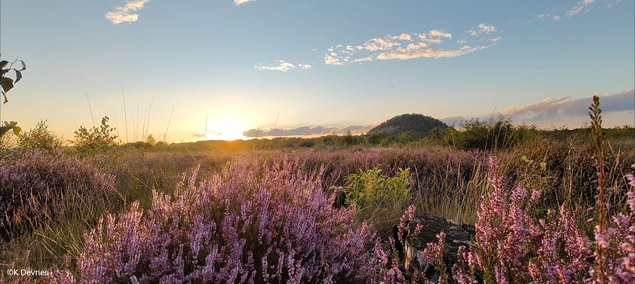
The yellow route through the Klaverberg Nature Reserve offers one of the area's most impressive panoramas: a panoramic view of the slag heap and the surrounding ponds, where nature and its industrial past seamlessly blend. From this point, you look out over the green flank of the slag heap, a former spoil heap that was slowly reclaimed by nature after the mine closed. Pines, birches, and hardy heathers have established themselves here in the barren soil and today form a unique landscape that symbolizes the resilience of the Hoge Kempen region. The slag heap rises quietly and massively, a testament to Genk's mining past and the Waterschei coal site. At its foot, the ponds lie like reflective havens in the landscape. The water catches the light and reflects the sky, the trees, and sometimes even the silhouettes of birds flying overhead. Here you'll regularly see ducks, dragonflies, and, with a bit of luck, deer cautiously emerging from the forest edge to drink. The combination of height, openness, and silence makes this view a place where you naturally slow down. It's one of those moments where you not only see but also feel: the space, the history, the transformation from industry to pure nature. Whether you pass by here during a leisurely morning walk or in the warm light of the setting sun, this point on the yellow route is undoubtedly one of the most beautiful stops in Klaverberg. 🌿🌊⛰️
0
0

Old unpaved footpaths are still common in the agricultural area between Halen and Loksbergen. The road layout has changed relatively little between the 17th century and the present. East of these roads lies the Betserbaan, which played a key role in the Battle of Halen. Of interest is this Kanoniersstraat, which is unpaved for its entire length between the Betserbaan and the Kauwplasstraat (1.6 km) and has a cart track as its base. Where this road crosses the summit of the Mettenberg, it cuts into the flanks, creating a sunken lane with wooded banks on the verge. These wooded banks belong to the category of "indigenous trees and shrubs," with the most common species being robinia, oak, and hawthorn. Historically, the Kanoniersstraat was the old connecting road between Halen and Leuven across the interfluve of the Ketelbeek and IJzerenbeek (demonstrable by a 17th-century tithe map). It has since lost its role as a connecting road. Kanoniersstraat has now been given a purely local role, allowing it to retain its authentic appearance as an old road. Inventory of Immovable Heritage: Sunken Roads, https://id.erfgoed.net/erfgoedobjecten/300954
1
0

Hiking to the top of the slag heap does indeed require some effort, but you will be rewarded with beautiful panoramas of the surroundings. And along the way there are benches here and there where you can, if necessary, recover.
10
1

A sunken road is a road that is so deeply worn that it lies between two slopes. It is the result of centuries of use and erosion. The most beautiful sunken roads can be found especially in hilly areas with a subsoil that easily forms steep walls, such as in Haspengouw and Hageland.
2
0


The diverse ecosystems of Terril Mijn Waterschei are home to an impressive variety of flora and fauna, offering visitors the opportunity to experience nature up close. Look out for various species of birds and other wildlife that live in this peaceful environment. The reserve is ideal for family outings and offers numerous learning opportunities about the local environment and the importance of conservation. Picnic and rest areas along the trails invite you to enjoy the tranquil atmosphere and take a break. A visit to Terril Mijn Waterschei not only offers the opportunity to appreciate the beauty of nature, but also to connect with the history of the area. The site recalls the mining heritage and shows how an industrial landscape can be transformed into a thriving nature reserve - a testament to successful reclamation projects. Whether you are an experienced hiker or looking for a relaxing retreat, Terril Mijn Waterschei offers a refreshing break in nature and is a worthwhile destination for anyone exploring the area. Source: https://evendo.com/locations/belgium/hoge-kempen-national-park/attraction/terril-mijn-waterschei?currency=eur
1
0


