존호벤 최고의 MTB 라이딩 경로
4.0
(137)
1,859
자전거 타는 사람
40
라이딩
존호벤에 있는 멋진 산악자전거 라이딩 경로를 따라 어디로 가 볼까요? 존호벤에 있는 MTB 경로 컬렉션 중에서 가장 멋진 장소를 아래에서 살펴보세요.
마지막 업데이트: 10월 25, 2026
4.0
(33)
571
자전거 타는 사람
54.2km
03:39
180m
180m
어려운 산악 자전거 타기. 좋은 체력 필요. 뛰어난 라이딩 실력이 필요함. 투어 중 자전거를 끌고 가야 하는 구간이 있을 수 있음.
4.4
(37)
429
자전거 타는 사람
44.5km
03:13
230m
230m
어려운 산악 자전거 타기. 좋은 체력 필요. 뛰어난 라이딩 실력이 필요함. 투어 중 자전거를 끌고 가야 하는 구간이 있을 수 있음.

4.8
(15)
194
자전거 타는 사람
24.4km
01:57
170m
170m
어려운 산악 자전거 타기. 뛰어난 라이딩 실력이 필요함. 투어 중 자전거를 끌고 가야 하는 구간이 있을 수 있음.
4.1
(13)
157
자전거 타는 사람
40.2km
02:37
140m
140m
보통 산악 자전거 타기. 좋은 체력 필요. 뛰어난 라이딩 실력이 필요함.
3.9
(9)
78
자전거 타는 사람
어려운 산악 자전거 타기. 좋은 체력 필요. 뛰어난 라이딩 실력이 필요함. 투어 중 자전거를 끌고 가야 하는 구간이 있을 수 있음.
더 다양한 경로와 다른 탐험가들의 추천을 살펴보세요.
이미 komoot 계정이 있나요?
투어 추천은 다른 사람들이 komoot에서 완료한 수천 개의 활동을 바탕으로 구성되어 있습니다.
오늘 무료 계정으로 시작하세요
다음 모험이 기다리고 있어요.

존호벤 주변의 다른 모험

커뮤니티 팁

겐크의 베스터링에는 현대적인 자전거 다리가 있습니다. 이 새로운 자전거 다리는 플란더스의 위험 지점을 제거하는 작업의 일환입니다. Sweco Belgium은 참조 설계 및 기술 계산 제어를 담당했습니다. 건축 설계는 Arteum Architects가 맡았습니다. 자전거 다리는 Nieuwe Kuilenweg / Westerring의 진출입로 복합 단지 건설 및 Europalaan과의 교차로 건설을 포함하는 더 큰 프로젝트의 일부입니다. 이 다리 덕분에 자전거 이용자와 보행자는 베스터링(N76)을 안전하게 건널 수 있습니다. 새로운 겐크 자전거 다리는 건축 공학의 통합 프로세스에 따라 설계되었습니다. Sweco의 엔지니어들은 첫 번째 설계 단계부터 참여했습니다. Arteum Architects의 디자이너들과 함께 그들은 디자인과 기술 사이의 다리를 놓고 건축 개념을 강화했습니다. 그 결과는 현대적인 디자인으로, 앞으로 몇 년 동안 시선을 사로잡을 것입니다. 이 디자인은 Nemetschek Structural Group의 국제 엔지니어링 대회에서도 호평을 받았습니다. 눈에 띄는 디자인에도 불구하고 원래 예산은 존중되었습니다. 모든 강철은 최적으로 활용되었으며, 스마트하고 지속 가능한 개입을 통해 총 수명 주기 비용은 제한적으로 유지되었습니다.
5
0
In 2022, around 30 slow roads in Heusden-Zolder received nameplates. A brilliant move to raise awareness of the many unknown church paths, country lanes, and shortcuts to the general public. More walkers and cyclists passing along slow roads means more safe travel, less congestion, and a greater experience for users. And the slow roads themselves are less likely to become congested.
2
1

Deep in the woods around Thor Park and the Klaverberg, the old train tracks still lie, silent witnesses to Genk's industrial past. These tracks were once the lifeblood of the Waterschei coal mine: wagons full of coal, and sometimes even workers, would rush along the rails, connecting them to the rest of Limburg and Belgium. Today, the tracks are abandoned and partly overgrown with moss, ferns, and young trees. The contrast between the rusty steel and the green vegetation makes it a particularly photogenic landscape. During walks, you can follow the tracks along winding forest paths, sometimes almost completely hidden by fallen leaves and undergrowth. The old train tracks are more than just decorative: they tell a story of labor, industry, and the transformation of the landscape. Hikers experience both the tranquility of the forest and the historical power of the industrial past, making every step along the tracks feel like a connection between then and now.
0
0

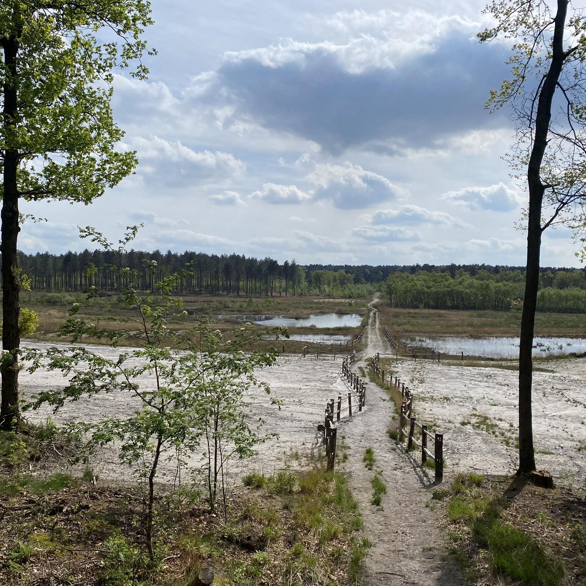
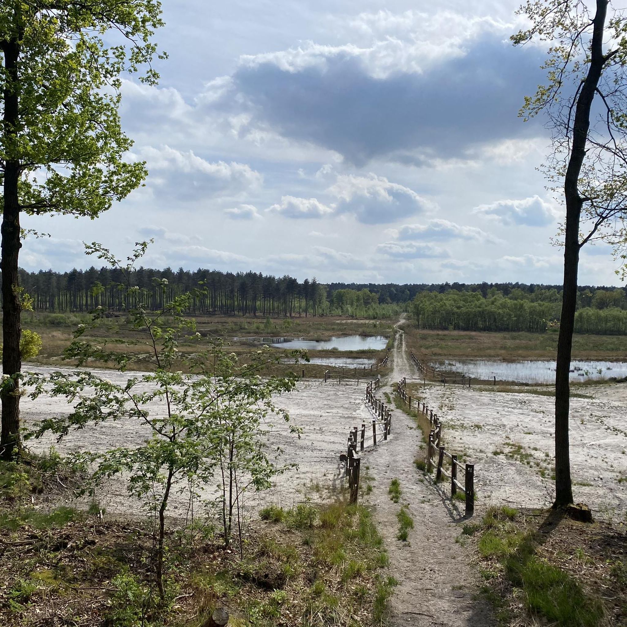
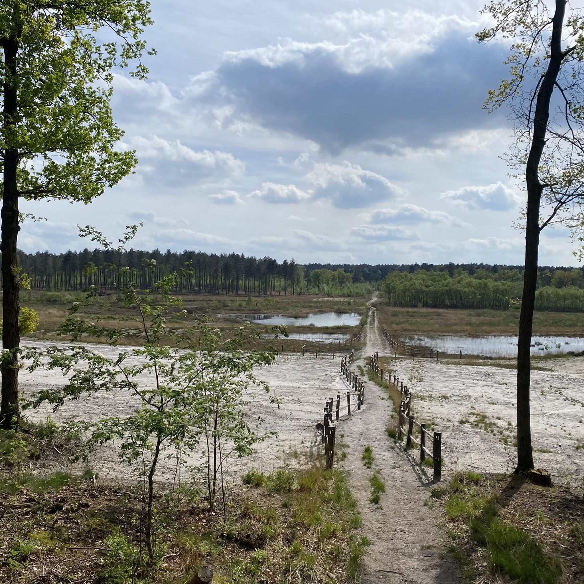
Perfect heathland and sand road!
0
0

nice gravel strip with beautiful views
0
0

The Teut is an extensive heathland area, which probably owes its name to the Zonhoven dialect word ‘Toot’, which means a point or protruding part. This could refer to the high Teutheuvel that protrudes above the surrounding landscape. The Teut also houses a star spot. However, this is located at the foot of the hill, with a view of a beautiful natural fen. It has not always been like this: in the 1960s this pond was a water sports centre, but that did not last long. Later, people wanted to use the pond for fish farming, but the water turned out to be much too acidic for economically viable fish species. That is why the pond was allowed to evolve into a completely natural fen, which actually also belongs better in this heathland area.
5
2
존호벤 주변에서 가장 인기 있는 명소


더 살펴보기
다른 지역의 최고의 MTB 트레일를 살펴보세요.
