우르스프링겐 최고의 MTB 라이딩 경로
4.7
(2097)
5,534
자전거 타는 사람
430
라이딩
Urspringen 주변의 산악자전거는 강 계곡, 완만한 언덕, 숲이 우거진 구간으로 특징지어지는 다양한 풍경을 제공합니다. 이 지역은 마인 강을 따라 이어지는 경로와 에를라브루너 호수, 역사적인 성과 같은 경치 좋은 곳을 지나는 특징이 있습니다. 이 지역은 강변 길에서부터 더 높은 구간까지, 다양한 산악자전거 경험에 적합한 다채로운 지형을 제공합니다.
Urspringen 주변 최고의 산악자전거 코스
- 가장 인기 있는 산악자전거 코스는 두텐브룬 출발 마인 강변, 바이트쇠히하임 – 에를라브루너 호수 루프로, 25.8마일(41.6km) 길이의 중간 난이도 코스이며 완료하는 데 2시간 40분이 소요됩니다. 이 경로는 에를라브루너 호수의…
마지막 업데이트: 11월 1, 2026
5.0
(4)
24
자전거 타는 사람
57.3km
03:41
560m
560m
보통 산악 자전거 타기. 좋은 체력 필요. 뛰어난 라이딩 실력이 필요함.
5.0
(39)
16
자전거 타는 사람
32km
02:09
320m
320m
보통 산악 자전거 타기. 좋은 체력 필요. 뛰어난 라이딩 실력이 필요함.

4.8
(4)
9
자전거 타는 사람
17.6km
01:09
150m
150m
보통 산악 자전거 타기. 뛰어난 라이딩 실력이 필요함.
5.0
(2)
10
자전거 타는 사람
29.4km
02:03
350m
350m
보통 산악 자전거 타기. 좋은 체력 필요.
7
자전거 타는 사람
42.0km
02:49
460m
460m
보통 산악 자전거 타기. 좋은 체력 필요. 뛰어난 라이딩 실력이 필요함.
더 다양한 경로와 다른 탐험가들의 추천을 살펴보세요.
이미 komoot 계정이 있나요?
투어 추천은 다른 사람들이 komoot에서 완료한 수천 개의 활동을 바탕으로 구성되어 있습니다.
오늘 무료 계정으로 시작하세요
다음 모험이 기다리고 있어요.
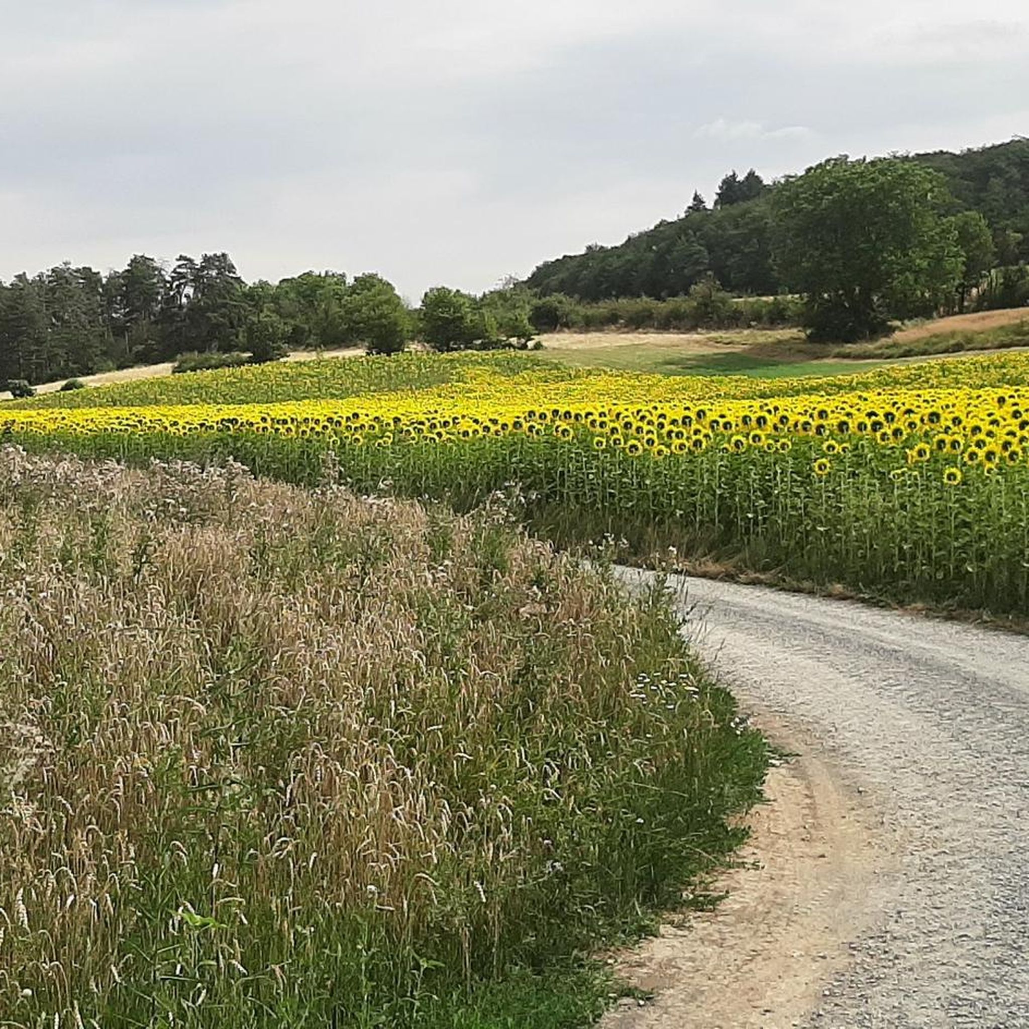
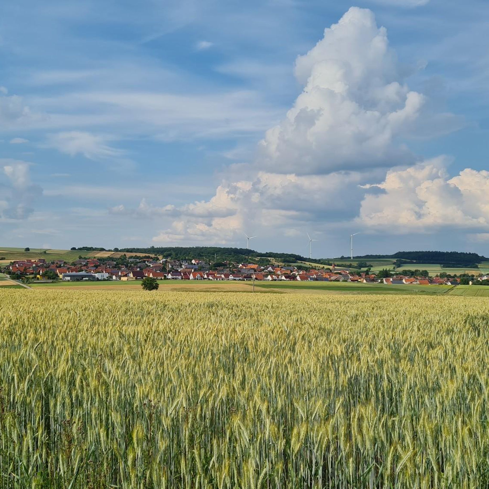
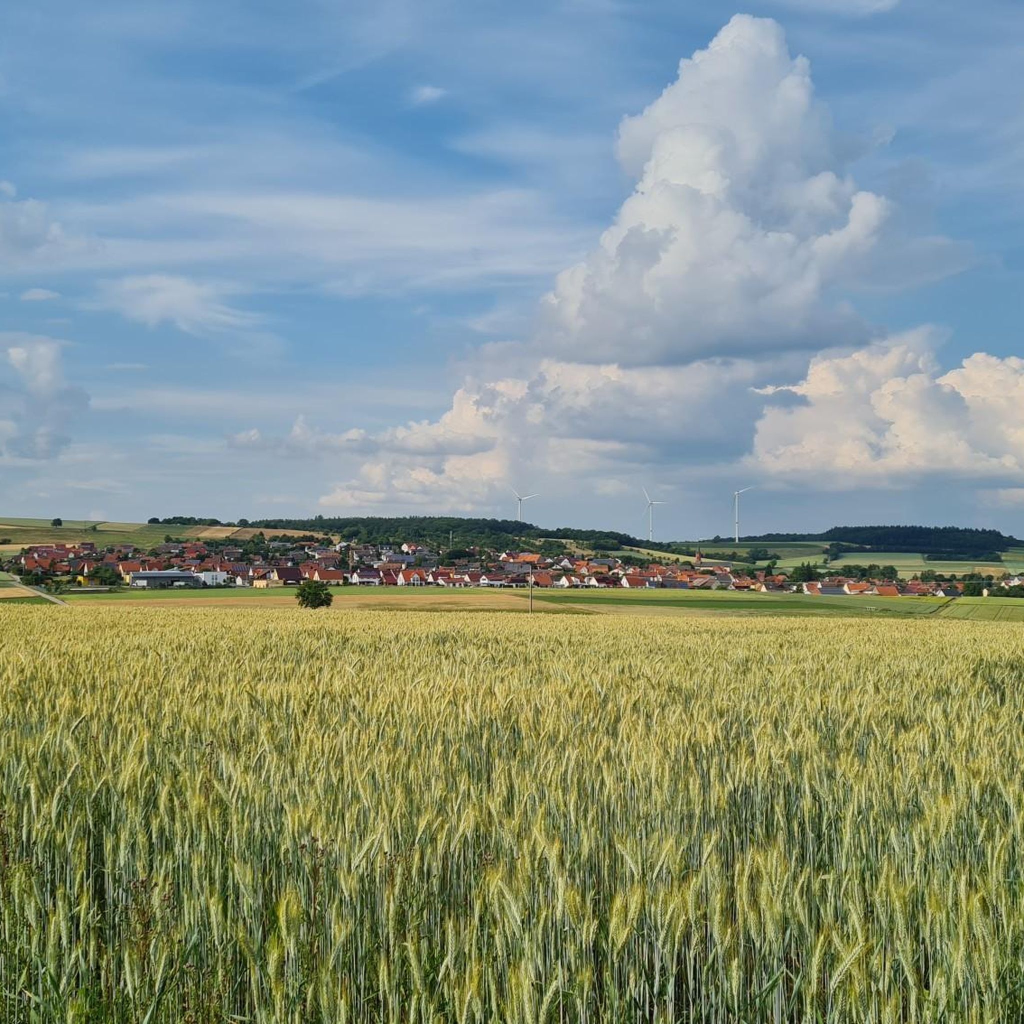

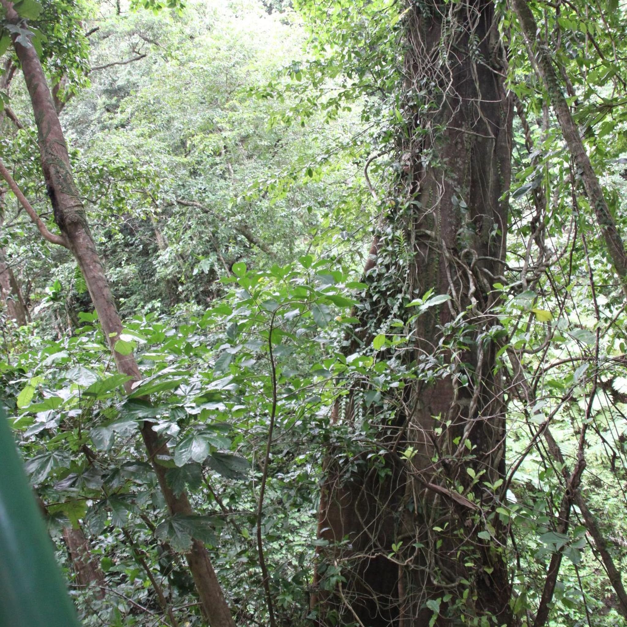
커뮤니티 팁

멋진 전망을 갖춘 아름다운 다리입니다. 누구에게도 방해가 되지 않을 만큼 충분히 넓습니다.
0
0

I love these old bridges and I have to take a picture of every beautiful one from above. This one also offers a very nice view of Marktheidenfeld.
1
0

The ruins of Ravensburg, also called Rabensburg in the oldest records, are a castle ruin from the Staufer period south of Thüngersheim in Franconia.
0
0
Very nice view of and over the Main River. At a slightly elevated level, there are many restaurants where you can sit outside and enjoy the day.
1
0

Forstbrunnen (Forest Fountain) On the other bank (not visible from here) rises the Buchenbach stream. It changes its name twice. From Steinfeld onwards, it is called Hofgraben. From Waldzell, the Grundgraben, the Böse Wiesengraben, and from Ansbach, the Schneidergraben and Bettelmannsgraben flow into it. Above Hausen, the stream is called Riedgraben. The Forstbrunnen (Forest Fountain) discharges eleven liters per second. Its water pressure transforms the pitiful trickle of the Riedgraben into a babbling brook. Therefore, the watercourse is only given the name "Buchenbach" from this point onwards. For a long time, the spring water from the Forstbrunnen served as a water supply for the people of Hausen. Today, drinking water is extracted jointly with Steinfeld from the nearby "Dicker Busch" forest area. Source: Information board at the site
1
0
Hafenlohr was first mentioned in a document in 1268, as Villa Lare. Source: Wikipedia
1
0
No precise records exist regarding the origin of Duttenbrunn, but there are traditions that the village may have been connected to the vanished village of Seehausen. Part of the district toward Zellingen still bears the name Seehausen. Archaeological finds, including the foundations of a church, house remains, and a cemetery, testify to a former settlement in this area. It is assumed that the inhabitants of Seehausen relocated to Duttenbrunn or Billingshausen due to insecurity or the plague. In 1015, Emperor Henry II granted the Würzburg Abbey a game reserve, which included the forests surrounding Duttenbrunn. This led to conflicts with the local farmers, who were not allowed to hunt game and suffered damage caused by game. The Church of St. Margaretha was built between 1190 and 1220; its choir is now considered the oldest surviving stone document in Duttenbrunn. During the Peasants' War, Georg Knecht from Duttenbrunn was a leader involved in the destruction of Karlsburg Castle in 1525. He was later executed along with other rebels in Karlstadt. From 1779 onwards, Duttenbrunn experienced an improvement in agricultural conditions under the reign of Prince-Bishop Franz Ludwig von Erthal. The introduction of clover cultivation and the increased potato harvest promoted livestock farming and brought prosperity. Source: Wikipedia
1
0
우르스프링겐 주변에서 가장 인기 있는 명소


더 살펴보기
다른 지역의 최고의 MTB 트레일를 살펴보세요.
