경로

플래너

기능

업데이트

App

로그인 또는 가입

앱 다운로드

로그인 또는 가입

경로
Places to see
Lakes
벨기에
왈로니아
군주
베르비에

뷔트겐바흐

뷔트겐바흐‬에서 가장 멋진 ‪20‬개의 호수

뷔트겐바흐에서 가장 멋진 호수를 방문하고 싶나요? 호숫가의 고요한 분위기를 느끼거나 날씨가 따뜻한 날 호수에 발을 살짝 담글 수 있다면 얼마나 좋을까요? Komoot 커뮤니티가 추천한 뷔트겐바흐의 주요 호수를 아래에서 살펴보고, 다음 모험 때 직접 찾아가보세요!

마지막 업데이트: 8월 30, 2026

로베르트빌 댐

하이라이트 • 기념물

The dam itself is not crazy but it is a good starting point for walks in the surroundings, and in particular the one that leads to the very close Reinhardstein castle.

번역자 Google •

에 의해

하이킹 보기

휴대폰으로 전송

저장

브락벤 늪 호수

하이라이트 • 호수

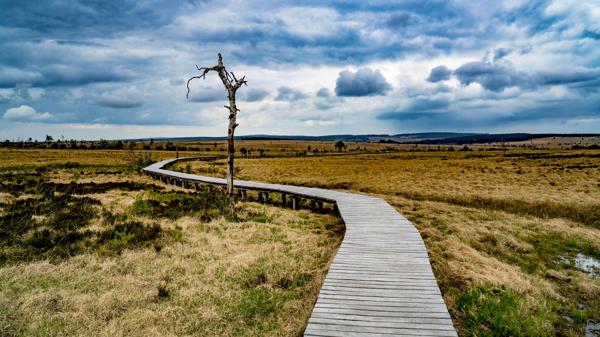
What is often called a lake in the Fens is often e.g. Palsas.
The palsen or pingos in the High Fens were formed around 10,000 to 11,000 years ago at …

번역자 Google •

에 의해

저장

이런 장소를 발견하려면 지금 가입하세요

최고의 싱글 트랙, 봉우리 및 다양한 흥미로운 야외 장소에 대한 추천을 받아보세요.

무료 회원 가입

펄렌바흐댐

하이라이트 • 호수

Here at the reservoir it is wonderfully quiet. In many places you have a beautiful view of the lake and the opposite side of the river.
The Perlenbachtalsperre is located …

번역자 Google •

에 의해

저장

뷔트겐바흐 저수지

하이라이트 • 호수

Beautiful swimming lake in great nature. From here you can make beautiful bike tours. We recommend e.g. the approximately 10km long circular route around the lake.

번역자 Google •

에 의해

저장

펄렌바흐댐

하이라이트 • 호수

From the 17th to the 19th century, freshwater pearl mussels were even farmed in the waters of the Perlenbach stream—hence its German name. From here, you have a magnificent view of the Perlenbach reservoir and the surrounding valleys.

번역자 Google •

에 의해

저장

무료로 가입하여 뷔트겐바흐 주변의 더 많은 호수를 발견하세요.

무료 회원 가입

이미 komoot 계정이 있나요?

오늘 무료 계정으로 시작하세요

다음 모험이 기다리고 있어요.

로그인 또는 가입하기

뷔트겐바흐 주변 인기 장소

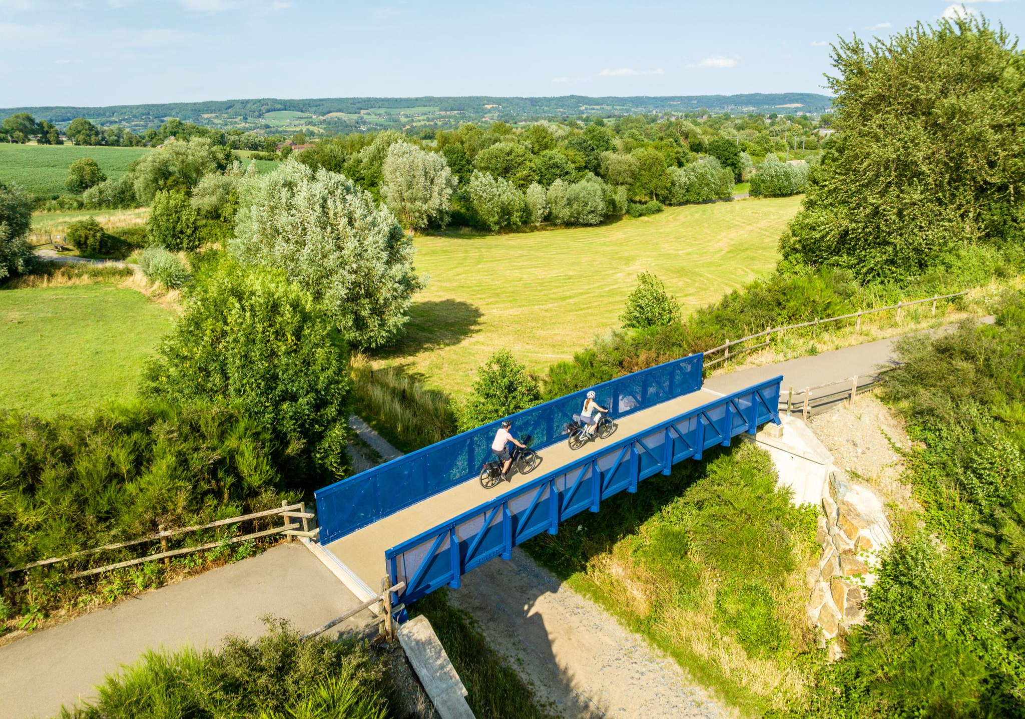
Three countries, one experience – borderless cycling in the Aachen region
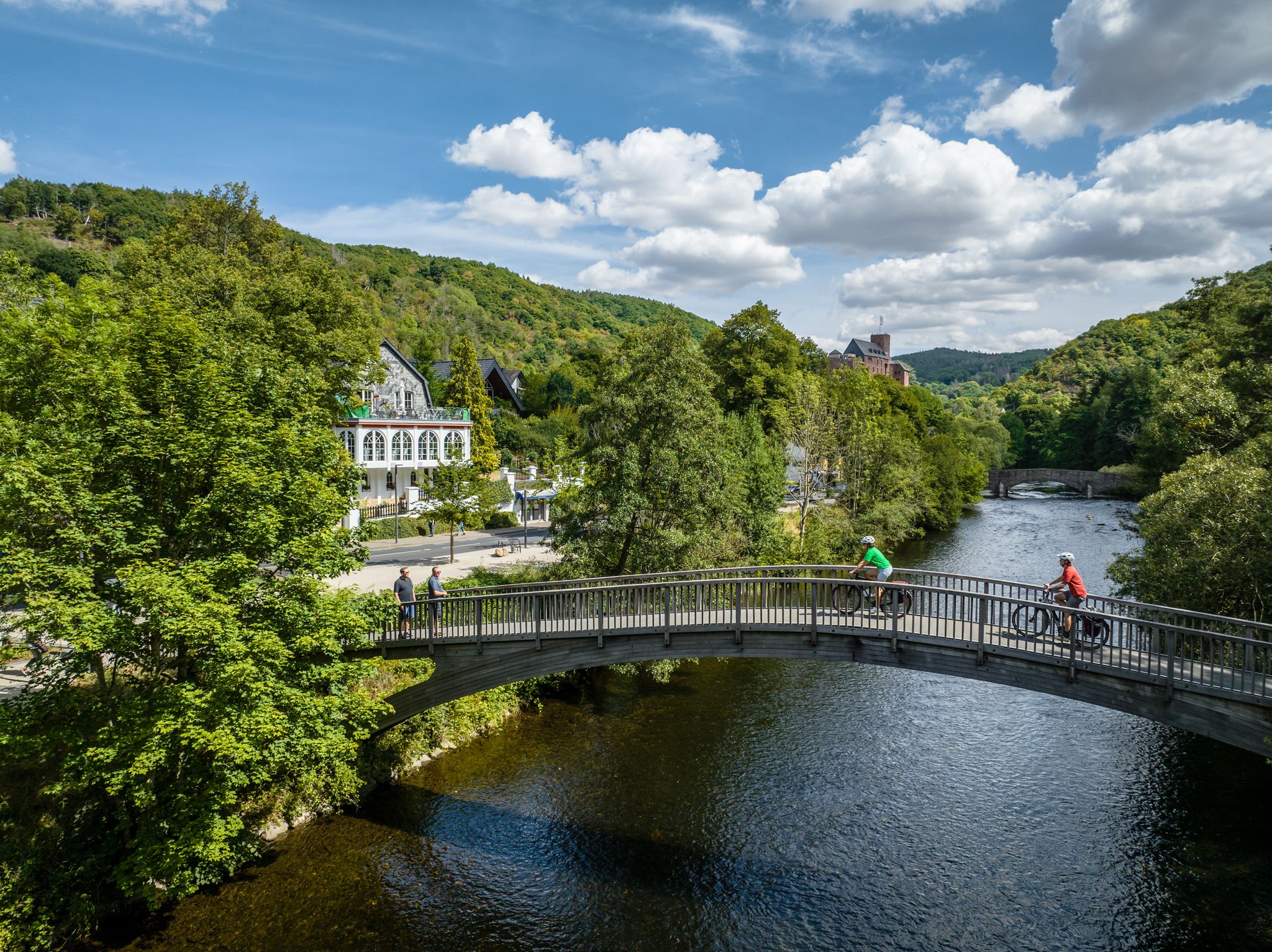
Heights, castles, moors – RURschleifen by bike
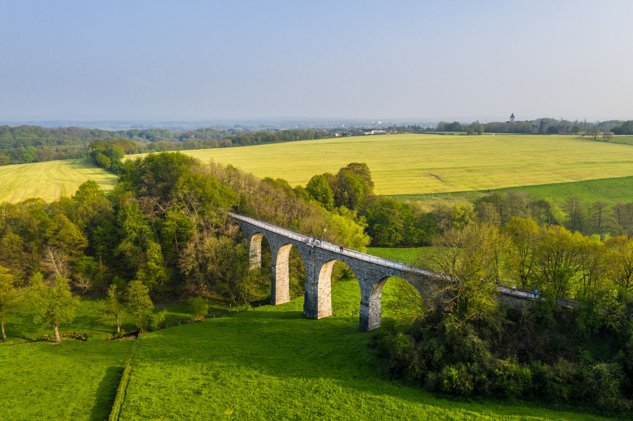
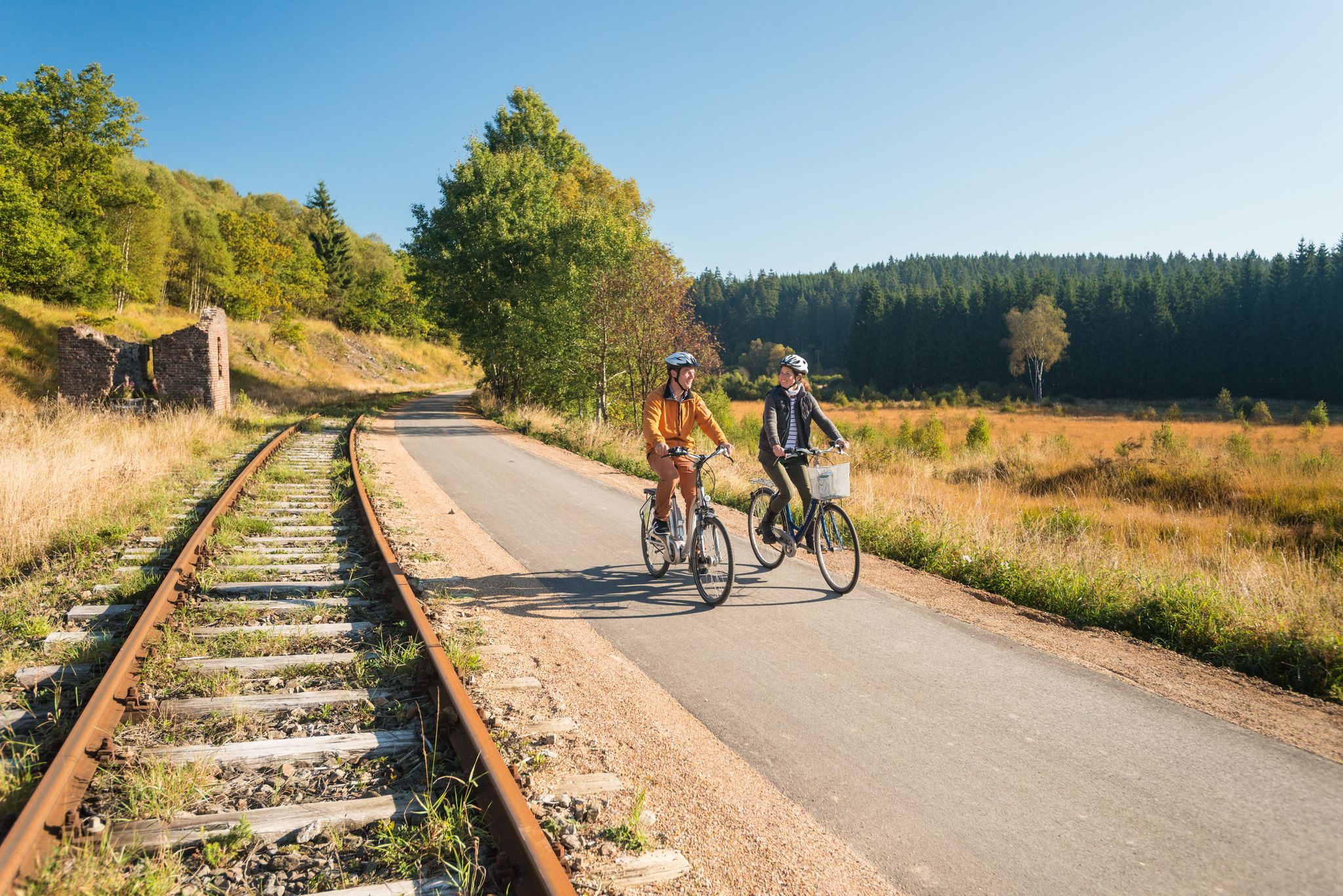
Cycling the tracks of the Vennbahn – the Vennbahnschleifen
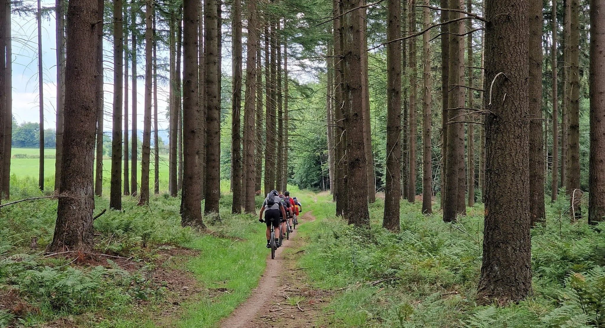
Trail rush through the East Belgian Ardennes
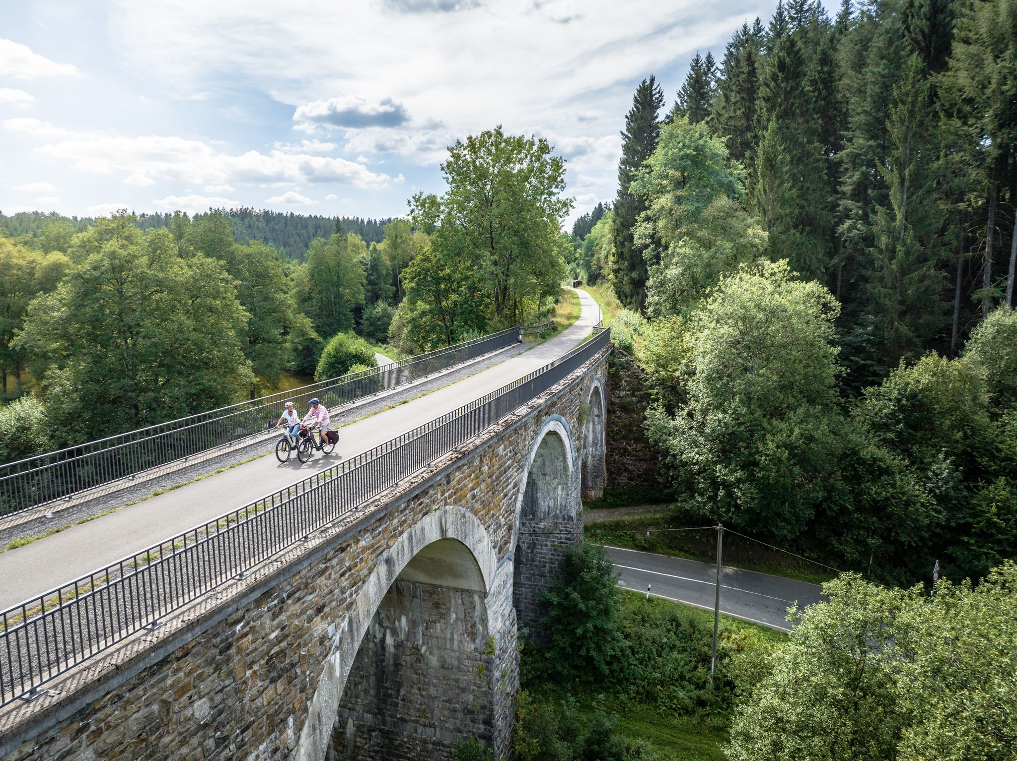
Fens, forests and water – cycling Tours in the Rur Eifel Region
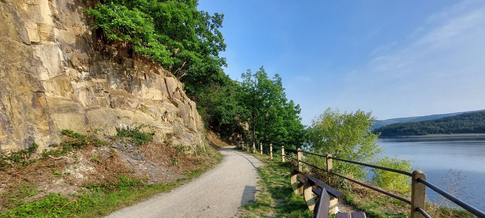
벨기에의 벤바흐 사이클 루트에서 끝없는 사이클링 즐거움

Leisure Tours on enchanted paths – hiking in East Belgium
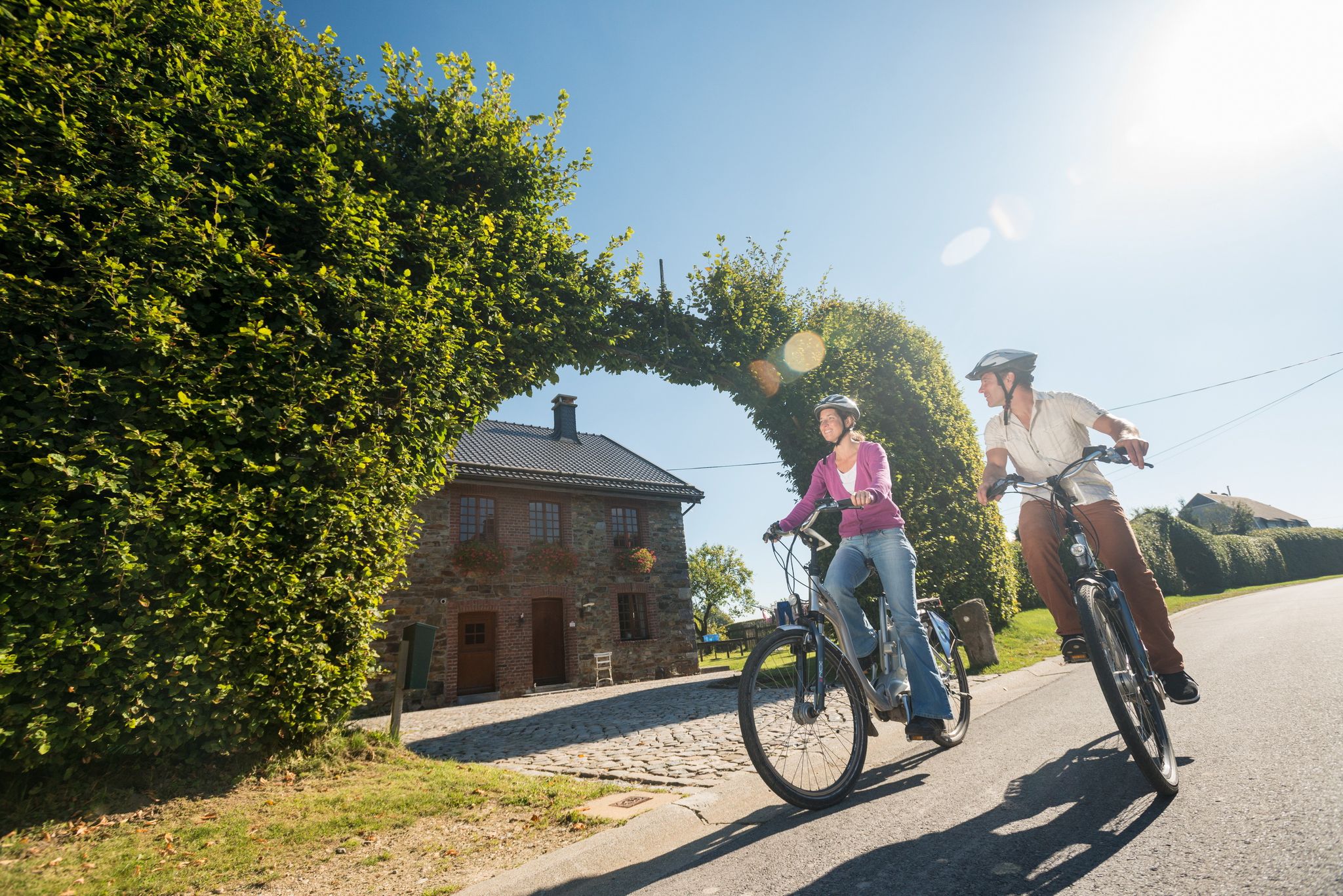
Ovelo cycle Tours in East Belgium – railway paths and natural beauty
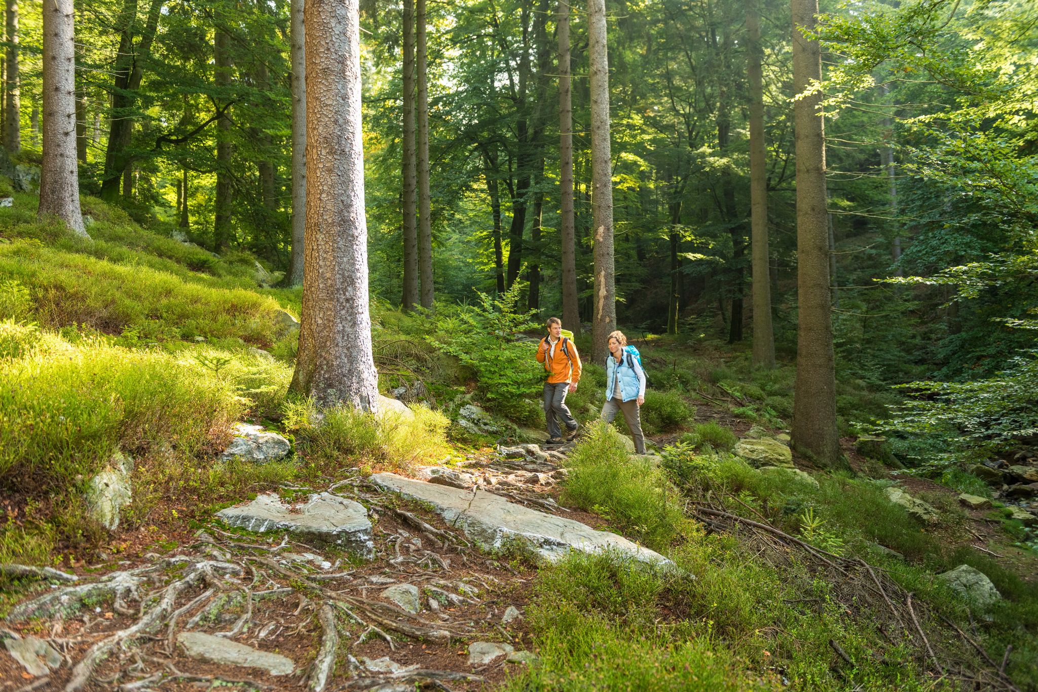
Fantastic regional footpaths — GR hiking paths in East Belgium

Little adventures — kids on Tour in East Belgium

뷔트겐바흐 주변의 다른 모험

Three countries, one experience – borderless cycling in the Aachen region

사이클링 컬렉션 에 의해

Städteregion Aachen

커뮤니티 팁

Mike
5월 7, 2026, Bütgenbach Reservoir

전반적으로 둘러싸기 좋은 멋진 호수입니다. 여름철 더운 날씨에는 사람이 매우 많을 수도 있습니다. 인접한 Vennradweg를 통해 자전거로도 쉽게 접근할 수 있습니다.

번역: Google

0

0

The lake/dam is beautiful to look at from the Vennbahn. Access to the water is limited. I have to mention that I don't know my way around there.

번역: Google

4

0

A very nice place to stay.

번역: Google

7

0

At this point there is a larger moor lake, which makes a nice photo motif, especially in fog. Above this, this moor lake is regularly visited by waterfowl such as wild ducks. If there are few people on the jetties and you approach the lake(s) quietly, there is a high probability that the animals will not be startled and scared away.

번역: Google

45

1

The peat that can be found everywhere in the bog and fen areas is the result of a process of incomplete decomposition. Usually, dead plants are gradually decomposed by small animals (such as earthworms), bacteria and fungi. This process applies to well-drained soils. On impervious acidic soils that do not contain many bacteria and in humid climates, plants such as peat moss are only partially decomposed. Their superimposition forms the peat layer. This peat layer can be up to 7 m in certain places here in the Brackvenn. 1 mm layer of peat takes 1 year to form. With a peat layer of 7 m, for example, we are talking about a period of 7,000 years.

번역: Google

51

1

Anyone who sees the beauty of the raised and low moors will never be able to let it go. The colors of the landscape, indeed the entire appearance of the High Fens, change dramatically every season. Even in winter - a breathtakingly beautiful landscape.

번역: Google

56

1

What is often called a lake in the Fens is often e.g. Palsas. The palsen or pingos in the High Fens were formed around 10,000 to 11,000 years ago at the end of the last ice age. When the ground froze deep down during the cold winters of the Ice Age, the wet ground expanded and frost mounds developed. Over the years these mounds grew and the soil material that was on top slid down the sides of the mounds and over time formed a ring-shaped wall around the mound of frost. With the end of the ice age, the ice melted, the frost mound sagged and the wall was preserved. The water in the middle is called bog scour or bog eye. Source: euregio-im-bild.de/fotos/palsen-im-brackvenn-bei-m-tzenich.html

번역: Google

65

1

Construction period: 1925-1928 Lake area: 67 hectares Height of the dam: 54 m Capacity: 7,676,000 m³

번역: Google

16

0

뷔트겐바흐 주변에서 가장 인기 있는 경로

뷔트겐바흐 교통량 없는 자전거 라이딩

뷔트겐바흐 주변에서 가장 인기 있는 명소

Places to see

Store rating

komoot 모바일 앱으로 영감을 받아보세요

무료 komoot 계정로 끝없는 야외 모험을 손쉽게 찾고, 맞춤 설정하며 길안내할 수 있어요.

또는

지금 komoot에 가입하세요

Store rating

더 살펴보기

뷔트겐바흐 주변에서 완벽한 호수를 아직 못 찾으셨나요? 이 지역의 가이드를 확인하여 더 아름다운 장소를 찾아보세요.

Hautes Fagnes-Eifel 자연 공원바엘렌잘하이Waimes라에렌유펜림부르그론첸웰켄라트뷜링겐말메디켈미스아멜테욱스스타벨로트플롬비에르티미스터-클레르몽헤르베뷔트겐바허 호수오벨웨저탈스페레트루아 퐁리에뇌디슨세인트 비스슈투몽부르크-로이란트온천페핀스터라크 드 로베르빌트루즈길레페 호수소스 자연 공원

근처 어드벤처 가이드

뷔트겐바허 호수 즐길거리

background

새로운 정복을 위한 준비를 하세요

무료로 가입하기

탐험하기
경로경로 플래너기능바우처 사용하이킹MTB 트레일로드 사이클링 경로바이크패킹사이트맵
앱 다운로드
소셜 미디어에서 팔로우하기

© komoot GmbH

개인 정보 보호 정책