웰켄라트에서 가장 멋진 20개의 천연기념물
천연기념물을 방문하여 웰켄라트의 아름다운 풍경을 만나보세요. 웰켄라트에 있는 20
개의 천연기념물과 상세 정보를 살펴본 후에 방문하고 싶은 천연기념물을 다음 모험 계획에 추가해보세요!
마지막 업데이트: 10월 13, 2026
바알저베르크 삼국경계점
하이라이트 • 기념물
번역자 Google •
팁에 의해


이런 장소를 발견하려면 지금 가입하세요
최고의 싱글 트랙, 봉우리 및 다양한 흥미로운 야외 장소에 대한 추천을 받아보세요.

아헨의 란트그라벤(녹색 성벽)
하이라이트 • 역사적 장소
번역자 Google •
팁에 의해

Rocher du Casino 암벽 등반지 및 휴식 공간
하이라이트 • 등반
번역자 Google •
팁에 의해
무료로 가입하여 웰켄라트 주변의 더 많은 자연 기념물을 발견하세요.
이미 komoot 계정이 있나요?
오늘 무료 계정으로 시작하세요
다음 모험이 기다리고 있어요.


커뮤니티 팁

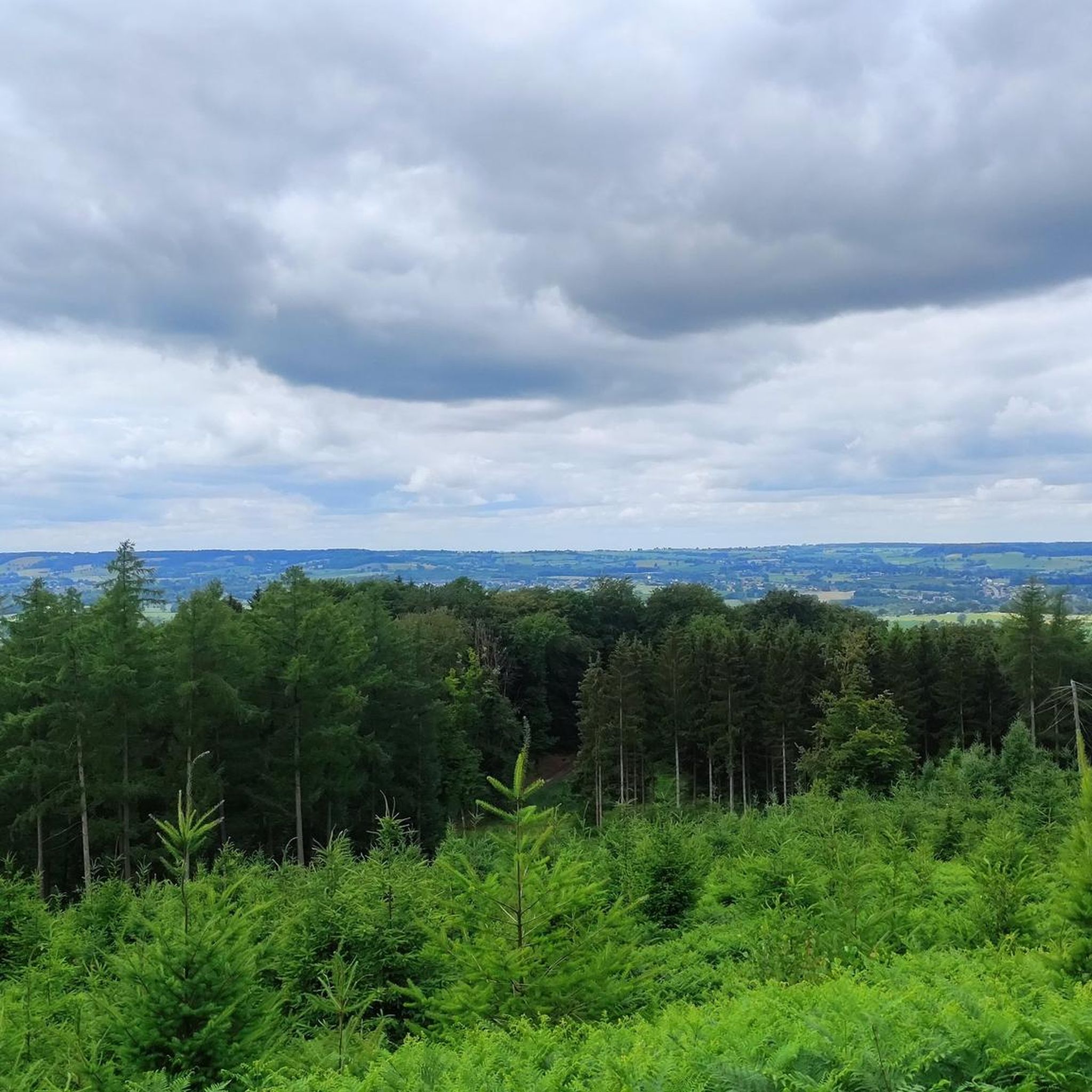
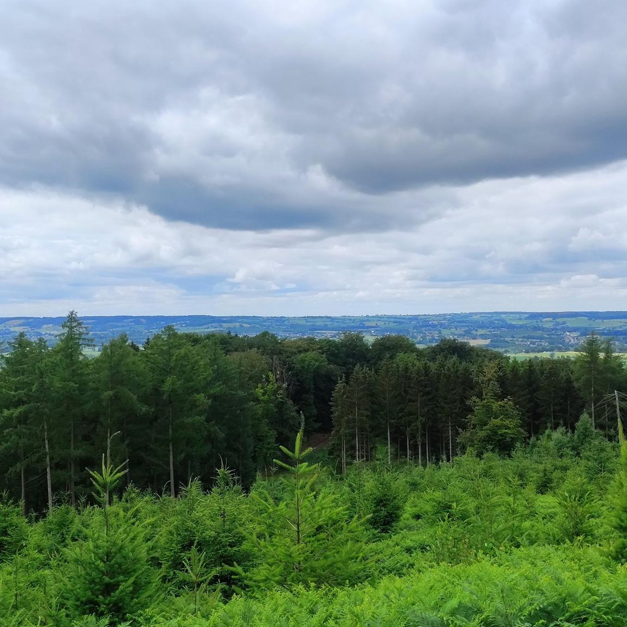
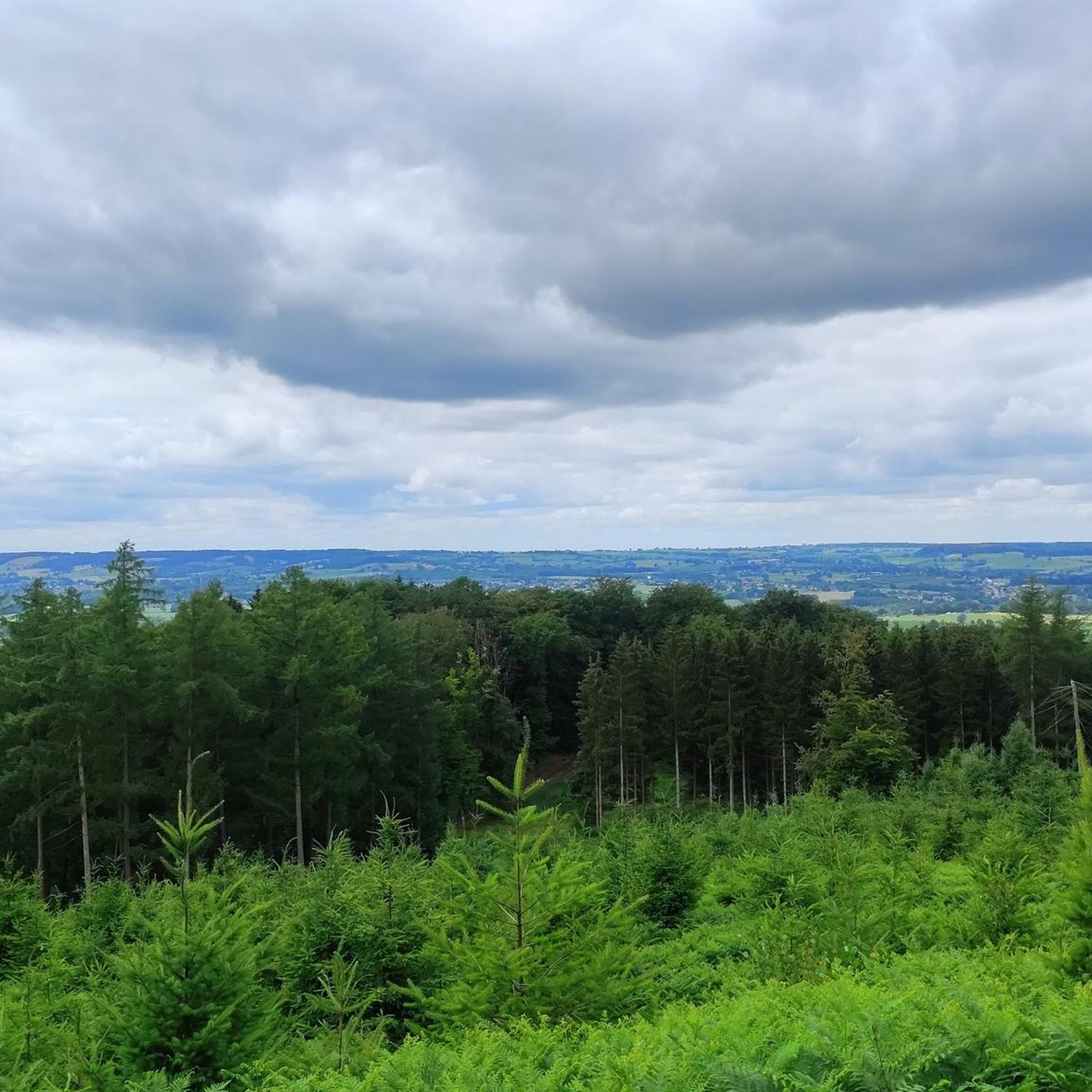
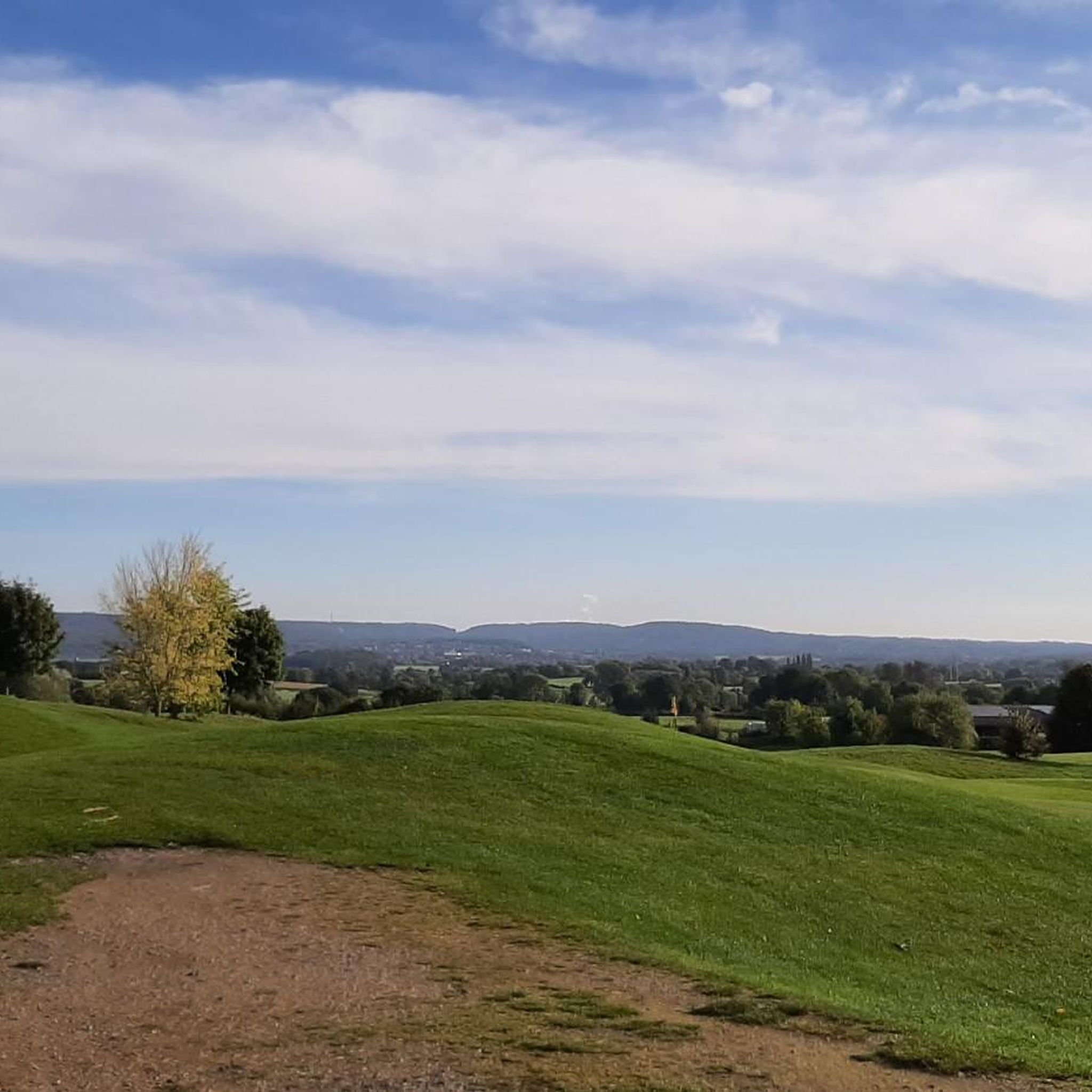
The Ardennes begin gradually in the Dutch-Belgian border region. There are wonderfully expansive views of the landscape.
0
0

It stands on the crest of the dam and faces north-east, towards the former district town of Eupen and the former Prussian border, which was about 5 km away. The artist was Antoine-Félix Bouré (1831–1883). The lion was completely restored in October 2000.
9
0

The Lion, created by Félix-Antoine Bouré, is one of the major attractions. Height: 13.5m – her weight: 130 tons. 183 blocks that fit together like a puzzle were completely dismantled and rebuilt to mark the raising of the dam. The lion looks in the direction of Eupen, then Prussia, barely 5 kilometers away. Source: https://www.tourismejalhaysart.be/nl/attraction/barrage-du-lac-de-la-gileppe-jalhay-hautes-fagnes-spa/
9
0
This work of art, made from granite, was the first of its kind in Belgium. The dam was built between 1867 and 1875. Between 1967 and 1971 it was consolidated and the capacity of the reservoir was increased to 26.4 million m³ of water. The lake is fed by the Gileppe, the Louba and the Soor. Two 75m high collection towers direct the water to turbines. The famous Lion, created by Félix-Antoine Bouré, is one of the major attractions. Height: 13.5m – her weight: 130 tons. 183 blocks that fit together like a puzzle were completely dismantled and rebuilt to mark the raising of the dam. The lion looks in the direction of Eupen, then Prussia, barely 5 kilometers away. Source: https://www.tourismejalhaysart.be/nl/attraction/barrage-du-lac-de-la-gileppe-jalhay-hautes-fagnes-spa/
11
0

The highest point in the Netherlands coincides with the three-country point and is an important tourist attraction.
21
0

As early as the late Middle Ages, the border of the former Aachen Empire, fortified with the Aachen Moat, ran from south to north across the ridge of the Vaalserberg. From 1839 to 1919, the Vaalserberg, with the disputed area of Neutral Moresnet as the fourth country, was even a four-country corner (Vierlandenpunt), which is still remembered in the name of the access road on the Dutch side - Viergrenzenweg. During the First World War, from 1915 to 1918, the high-voltage border barrier stretched along the Belgian-Dutch border for a length of 300 kilometers from the then four-country corner on the Vaalserberg to the Belgian North Sea coast near Knokke. The German invasion of Belgium in 1914 via Gemmenich to Diksmuide, which brought much suffering to the Belgian population, is commemorated by a memorial made of compressed war material at the southern tip of the Vaalserberg, called Via Dolorosa.
23
0

With a height of no less than 322.4 meters above NAP, the Vaalserberg is the highest mountain in the Netherlands (with the exception of the mountains in the Caribbean). So you are standing on the roof of the Low Countries! The mountain is not only known for its height, but also for the three country point you will find here; here the borders of the Netherlands, Belgium and Germany meet. In addition, there are plenty of activities for young and old on and around the top, so hang out here for a while.
15
1

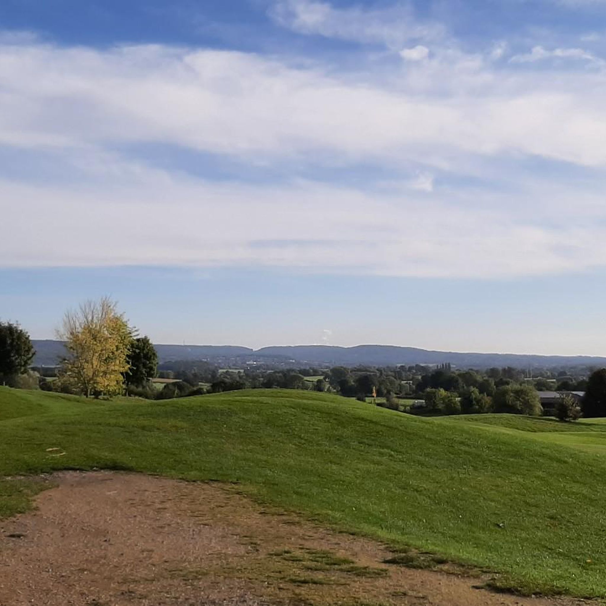
Great resting place to watch the climbing friends.
5
0
웰켄라트 주변에서 가장 인기 있는 명소


더 살펴보기
웰켄라트 주변의 최고의 동굴을 찾기 위해 이 가이드를 확인해보세요:
