세인트 비스에서 가장 멋진 20개의 천연기념물
천연기념물을 방문하여 세인트 비스의 아름다운 풍경을 만나보세요. 세인트 비스에 있는 20
개의 천연기념물과 상세 정보를 살펴본 후에 방문하고 싶은 천연기념물을 다음 모험 계획에 추가해보세요!
마지막 업데이트: 8월 22, 2026
Schwarzer Mann 정상과 목조 조각상
하이라이트 • 정상
번역자 Google •
팁에 의해

내리막길 전에 만나는 암석 지형
하이라이트 • 자연 기념물
번역자 Google •
팁에 의해

이런 장소를 발견하려면 지금 가입하세요
최고의 싱글 트랙, 봉우리 및 다양한 흥미로운 야외 장소에 대한 추천을 받아보세요.
무료 회원 가입

그로스베버바흐를 따라
하이라이트 (구간) • 강
번역자 Google •
팁에 의해

오늘 무료 계정으로 시작하세요
다음 모험이 기다리고 있어요.
로그인 또는 가입하기
세인트 비스 주변 인기 장소

레지스트 앤 라이드의 하덴네 그래블 투어 - 700킬로미터의 비포장 모험
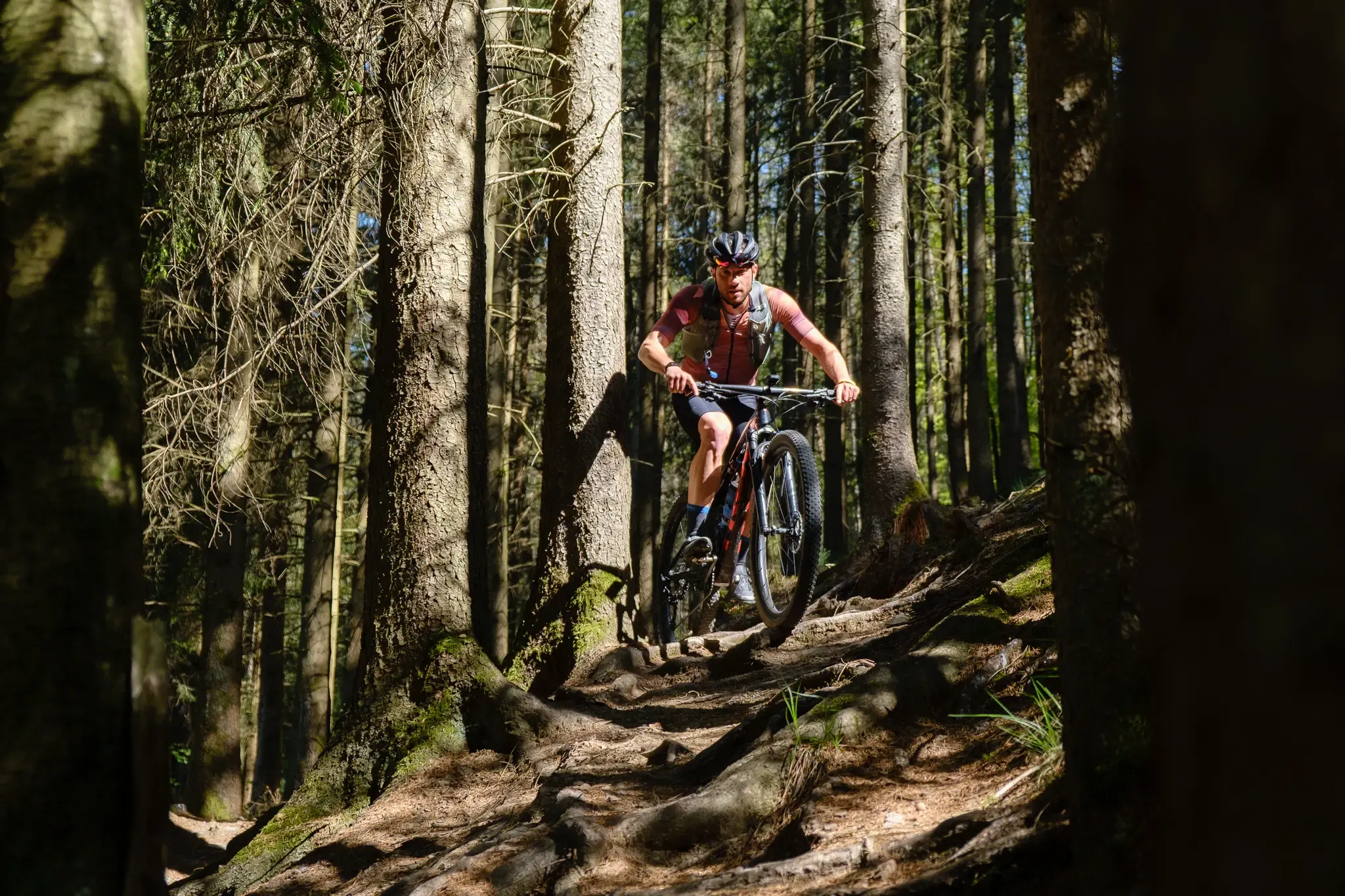
Stoneman Arduenna – old-school mountain biking in East Belgium
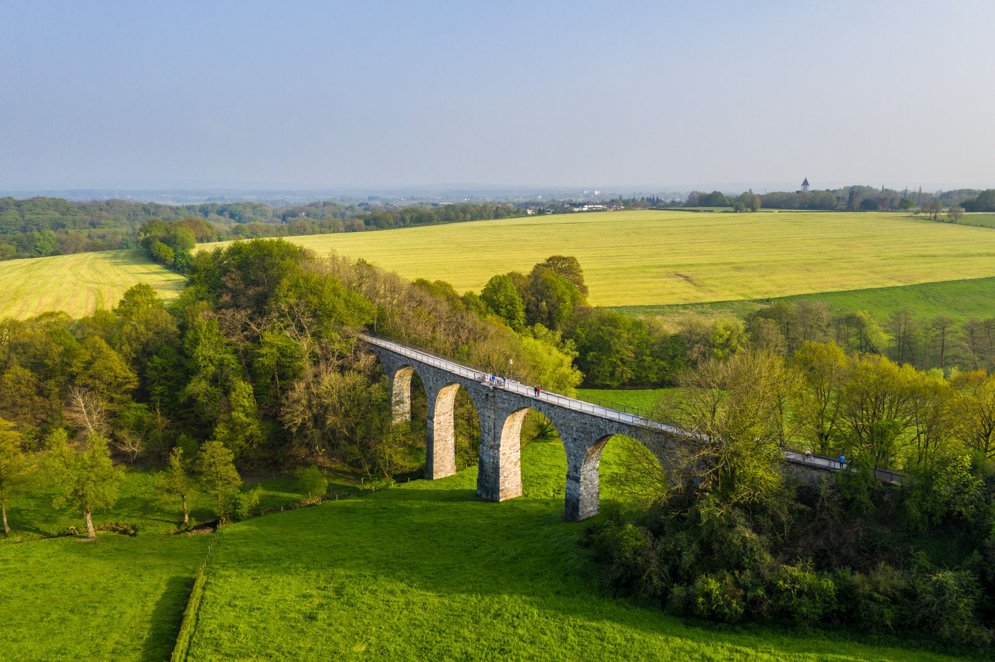
Cycling the tracks of the Vennbahn – the Vennbahnschleifen
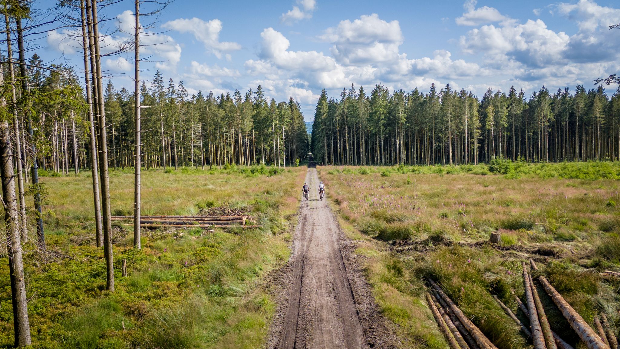
Vennbahn-Variant: A new gravel/MTB adventure
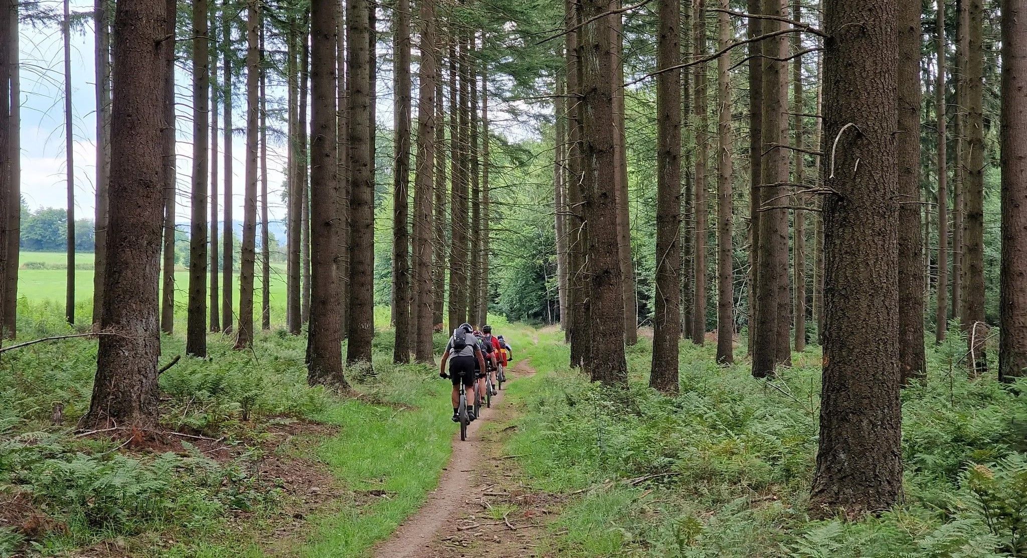
Trail rush through the East Belgian Ardennes

벨기에의 벤바흐 사이클 루트에서 끝없는 사이클링 즐거움
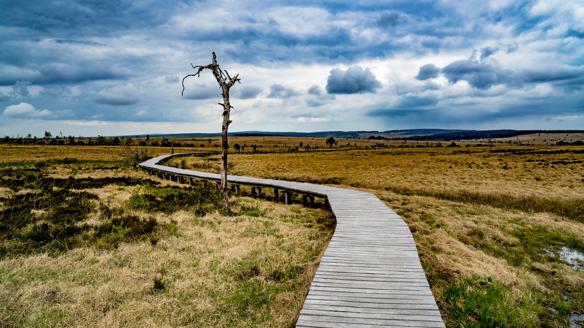
Leisure Tours on enchanted paths – hiking in East Belgium
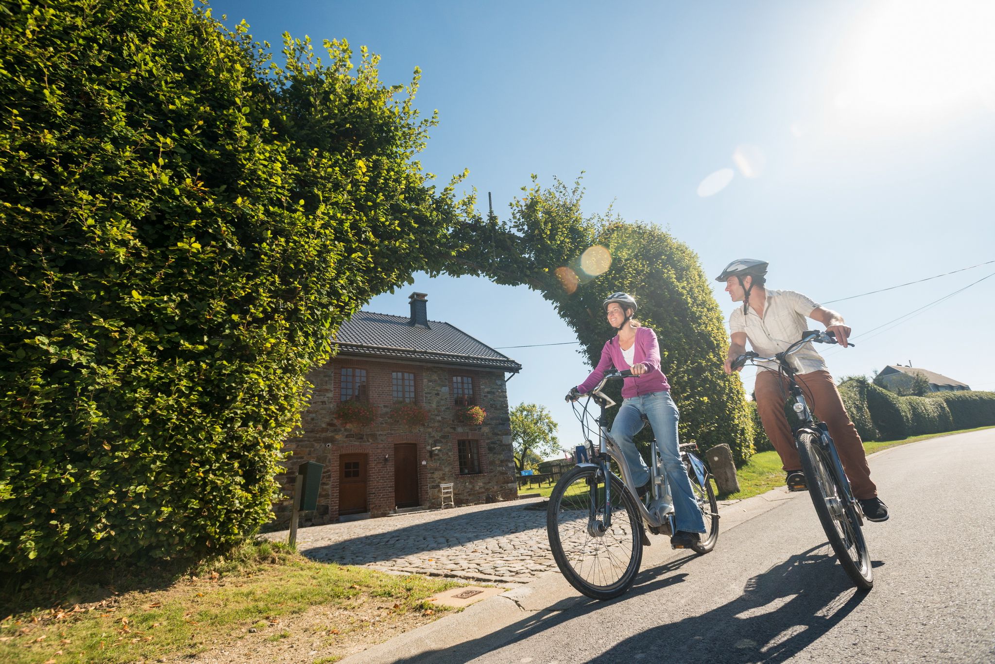
Ovelo cycle Tours in East Belgium – railway paths and natural beauty
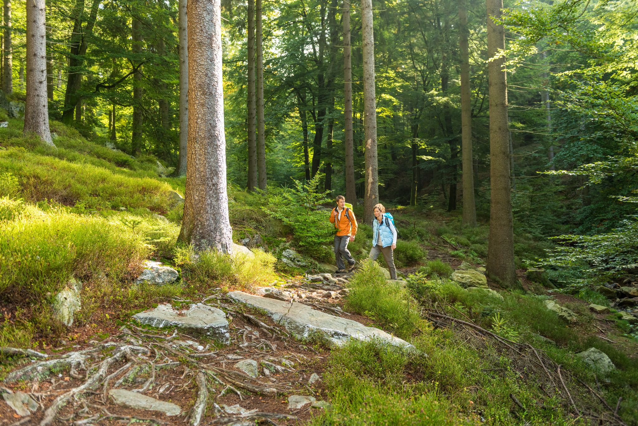
Fantastic regional footpaths — GR hiking paths in East Belgium

Vennbahn-Radweg – Grenzenloses Radvergnügen
세인트 비스 주변의 다른 모험


커뮤니티 팁

Großweberbach는 이곳에서 햇볕이 잘 드는 계곡을 따라 흐르며, 시냇물은 초원에서 아름답게 구불구불 이어집니다.
0
0

The valley is a nature reserve. Magnificent flower meadows line the path – numerous butterflies fluttered here: Peacock butterfly, Checkered damselfly, Large Cabbage White, Small Oxeye, and other species.
2
0

The Devil's Stone Satan will only find peace when he can destroy the work Remacle has started...Remacle was warned about the devil's despicable plan to throw a huge stone on the abbey. Dressed like a simple monk and covered with a hood, he went to meet the Evil One, carrying a bag full of old shoes. When he arrives, he hears the devil, who was carrying a heavy stone, asking if the abbey was still far away. “And” was the answer, “here are all the shoes I have worn since I left Stavelot”. Discouraged, the devil dropped the stone. The stone is still there.
3
0

Great location, definitely worth a visit. If you look closely at the stone you can still see parts of the writing that was once there. Unfortunately the writing is almost illegible due to shrapnel etc.
1
0

Awesome tour that covers all the highlights of a MTB tour, thanks to the creator for 3 unforgettable hours of riding fun
1
0

The Am Richelberg pond complex is located east of Bleialf, a local community in the Schneifel in the Eifel district of Bitburg-Prüm in Rhineland-Palatinate, near Prüm. The body of water is therefore in the North Eifel Nature Park. The Dürenbach river flows through the ponds. The “Richelberg” road flanks the ponds on their western banks. There is a large farmstead on the opposite road. At the height of the northwest bank of the southernmost pond, the Wöppelbach flows into the Dürenbach. Here the “Richelberg” road bridges the two streams. A little further north of the pond complex is a barbecue hut. The Am Richelberg pond complex is located northeast of Bleialf on the edge of a small forest area. The ponds are accordingly characterized on the eastern bank by the foothills of this forest area. On the western banks - as a boundary to the “Richelberg” road - the ponds have a narrow strip of trees.
2
1

The rock is part of the Ardennes, a region with a rich geological history. Millions of years ago, during the Devonian Period (about 419.2 to 358.9 million years ago), the region was covered by shallow seas. These shallow seas accumulated sediments such as silt, mud and sand, which over time were compressed into layers of rock. Later, during geological uplift and erosion processes, the strata were lifted and parts of the surrounding rock were eroded away. This created the characteristic shape of the Roche du Diable and other rock formations in the region.
50
1
The Legend of the Devil's Stone: Satan will only rest when he has destroyed the work begun by Remaclus... Remaclus was informed by an angel of the devil's infamous intention to throw a huge stone at the abbey. Dressed like a simple monk and hidden under the hood, he then went to evil with a sack full of old shoes. When he reached him, he heard the devil carrying a heavy stone and asking him if the abbey was far away. "And how!" he replied, "these are all the shoes I've worn out since I left Stavelot!" Discouraged, the devil dropped the stone and fled. The stone is still there today! Source: http://tourismestavelot.be/en/some-legends
54
0
세인트 비스 주변에서 가장 인기 있는 명소


더 살펴보기
세인트 비스 주변의 최고의 동굴을 찾기 위해 이 가이드를 확인해보세요:
