체세나 최고의 워킹 & 하이킹 경로
4.4
(230)
2,195
등산객
207
하이킹
정확한 경로를 찾는 것이 때로는 어렵지만 체세나에서 하이킹을 하면 다양한 경치를 마음껏 감상할 수 있답니다. 체세나에서 가장 멋진 하이킹과 워킹 중에서 마음에 드는 활동을 시작해보세요.
마지막 업데이트: 8월 30, 2026
1
등산객
25.7km
07:16
540m
550m
어려운 하이킹. 우수한 체력 필요. 실력과 관계없이 누구나 쉽게 갈 수 있는 길.
4.8
(9)
156
등산객
6.58km
01:46
90m
90m
초급용 하이킹. 모든 체력 수준에 적합. 실력과 관계없이 누구나 쉽게 갈 수 있는 길.

무료 회원 가입
4.7
(6)
86
등산객
10.3km
02:36
20m
20m
보통 하이킹. 좋은 체력 필요. 실력과 관계없이 누구나 쉽게 갈 수 있는 길.
4.4
(5)
82
등산객
9.80km
02:29
20m
20m
보통 하이킹. 좋은 체력 필요. 실력과 관계없이 누구나 쉽게 갈 수 있는 길.
4.5
(4)
75
등산객
10.00km
02:33
30m
30m
보통 하이킹. 좋은 체력 필요. 실력과 관계없이 누구나 쉽게 갈 수 있는 길.
더 다양한 경로와 다른 탐험가들의 추천을 살펴보세요.
무료 회원 가입
이미 komoot 계정이 있나요?
투어 추천은 다른 사람들이 komoot에서 완료한 수천 개의 활동을 바탕으로 구성되어 있습니다.
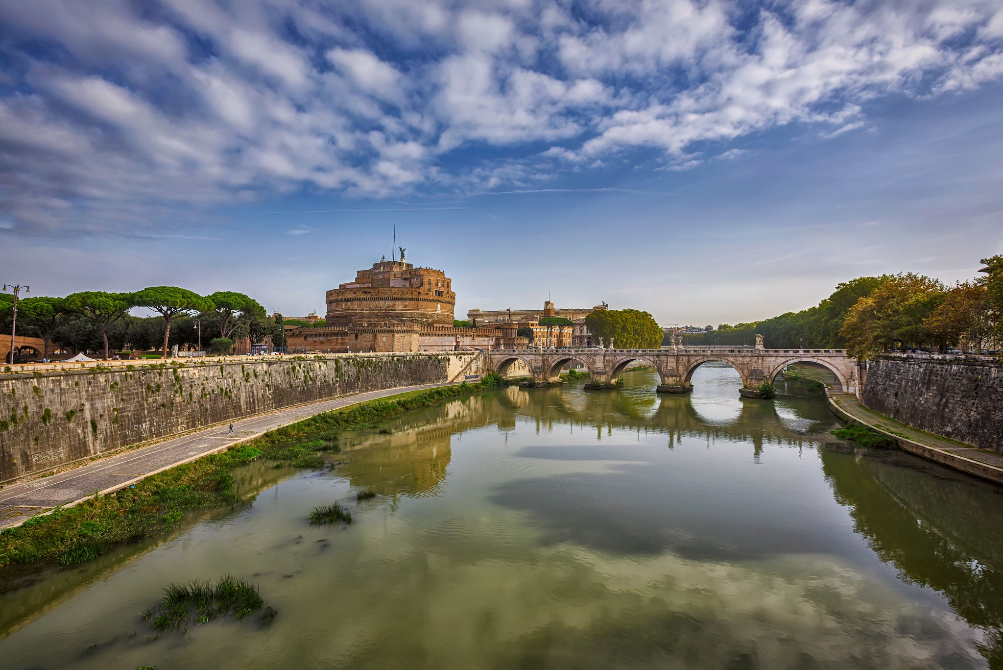
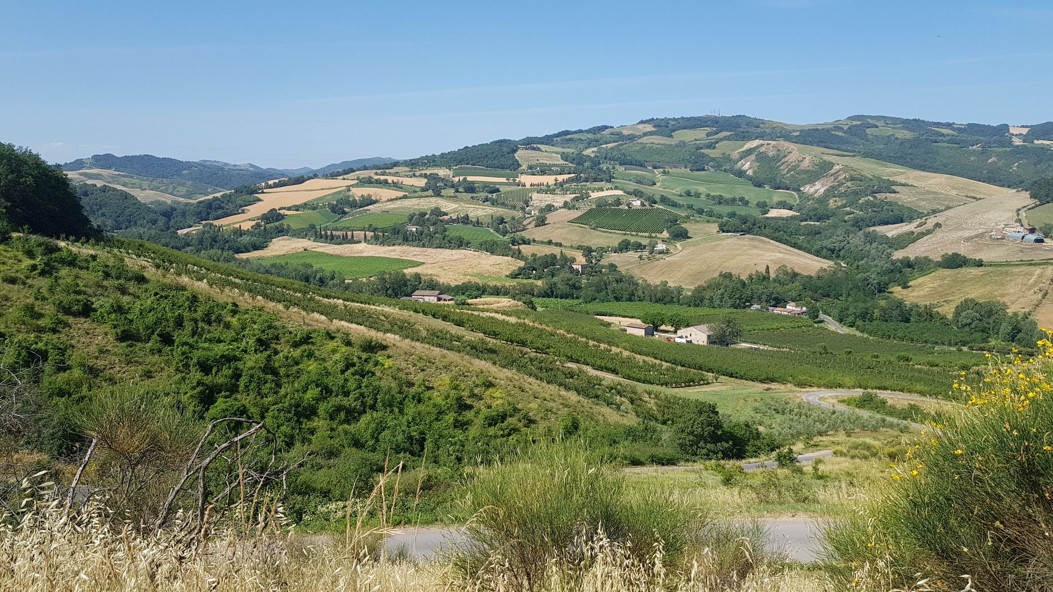
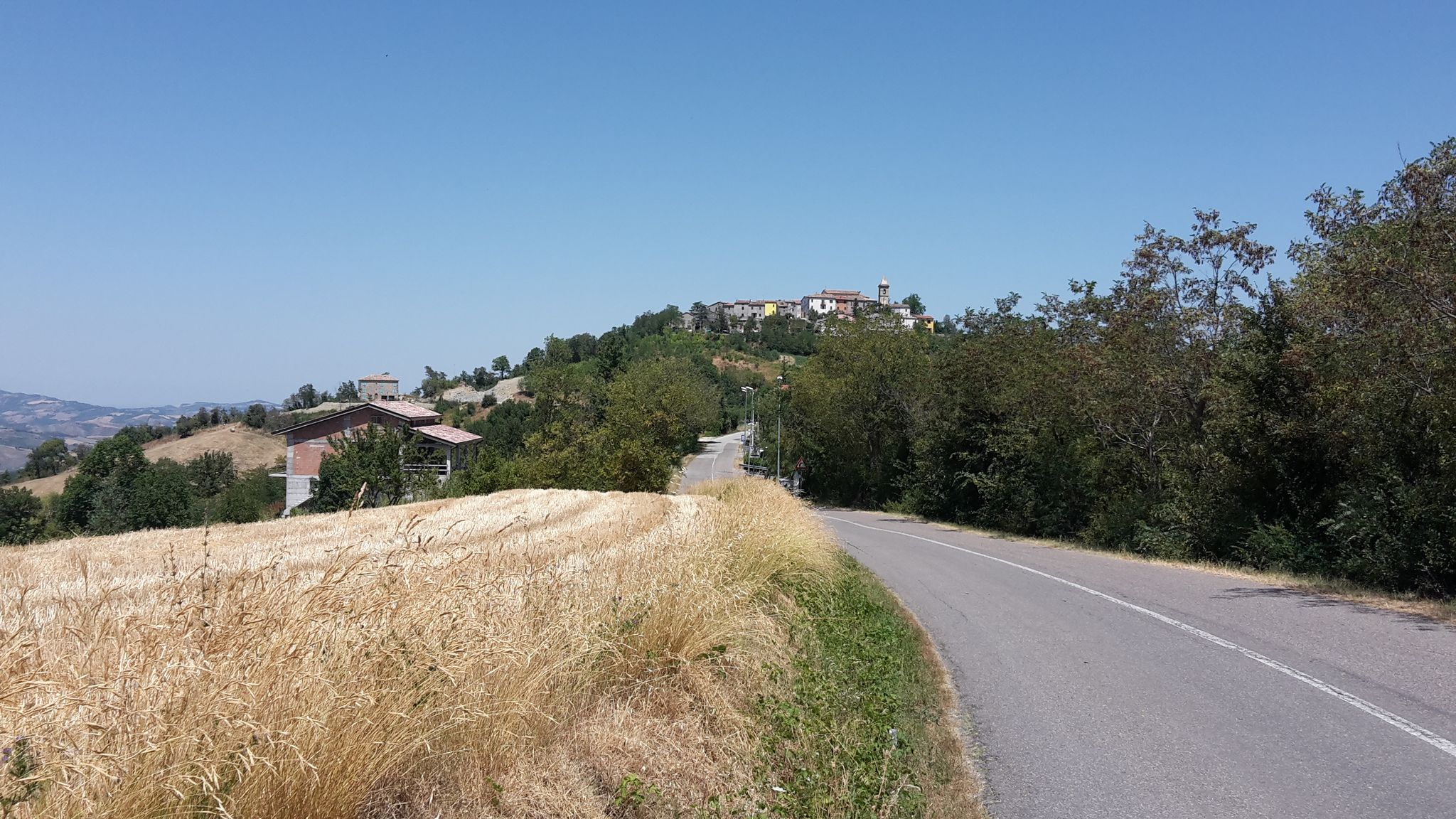
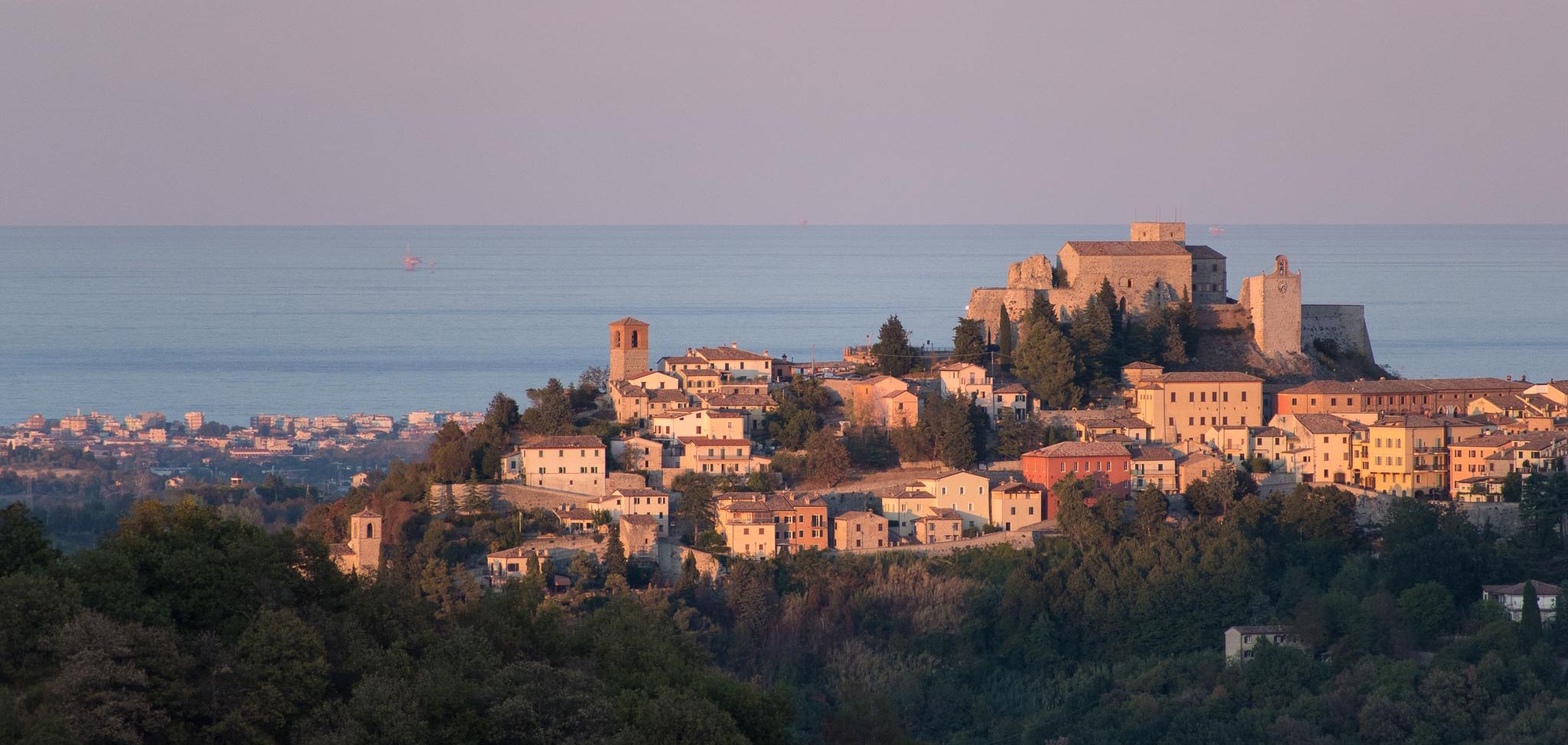
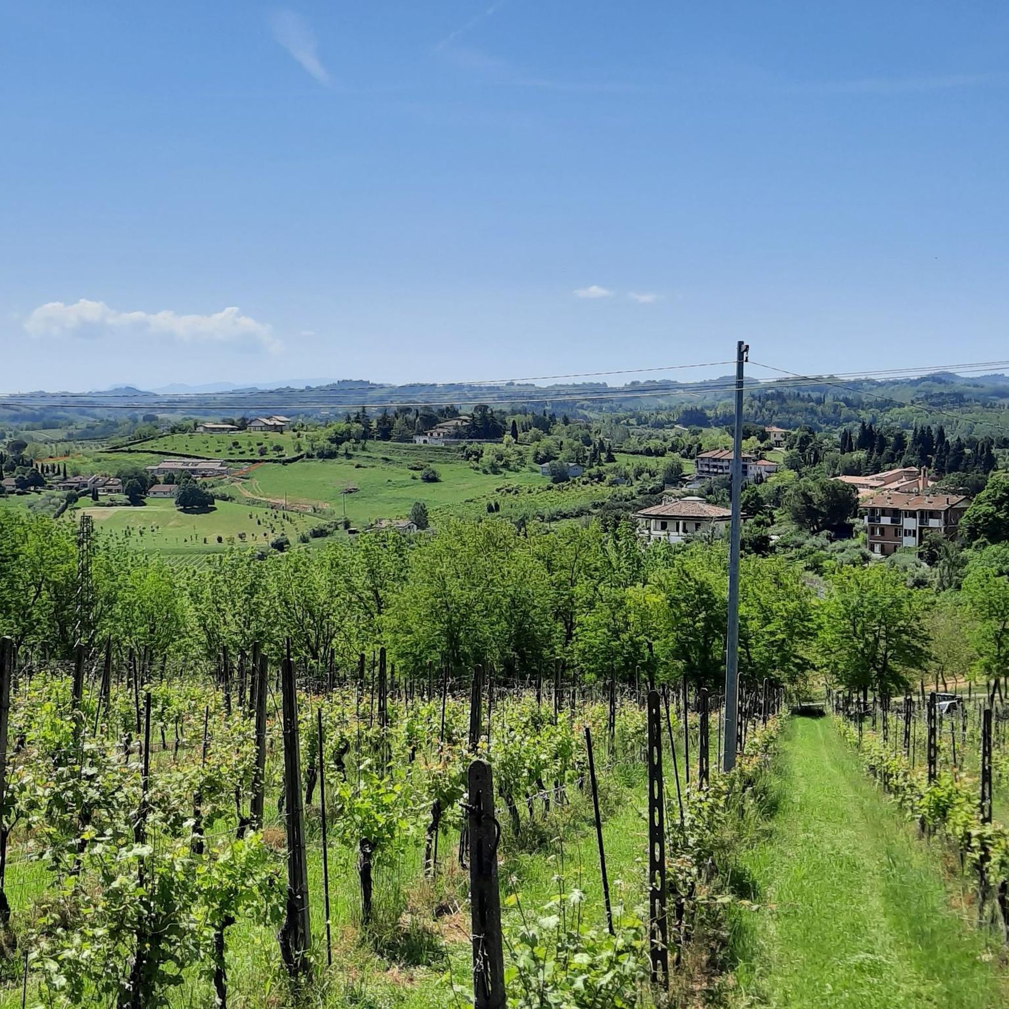
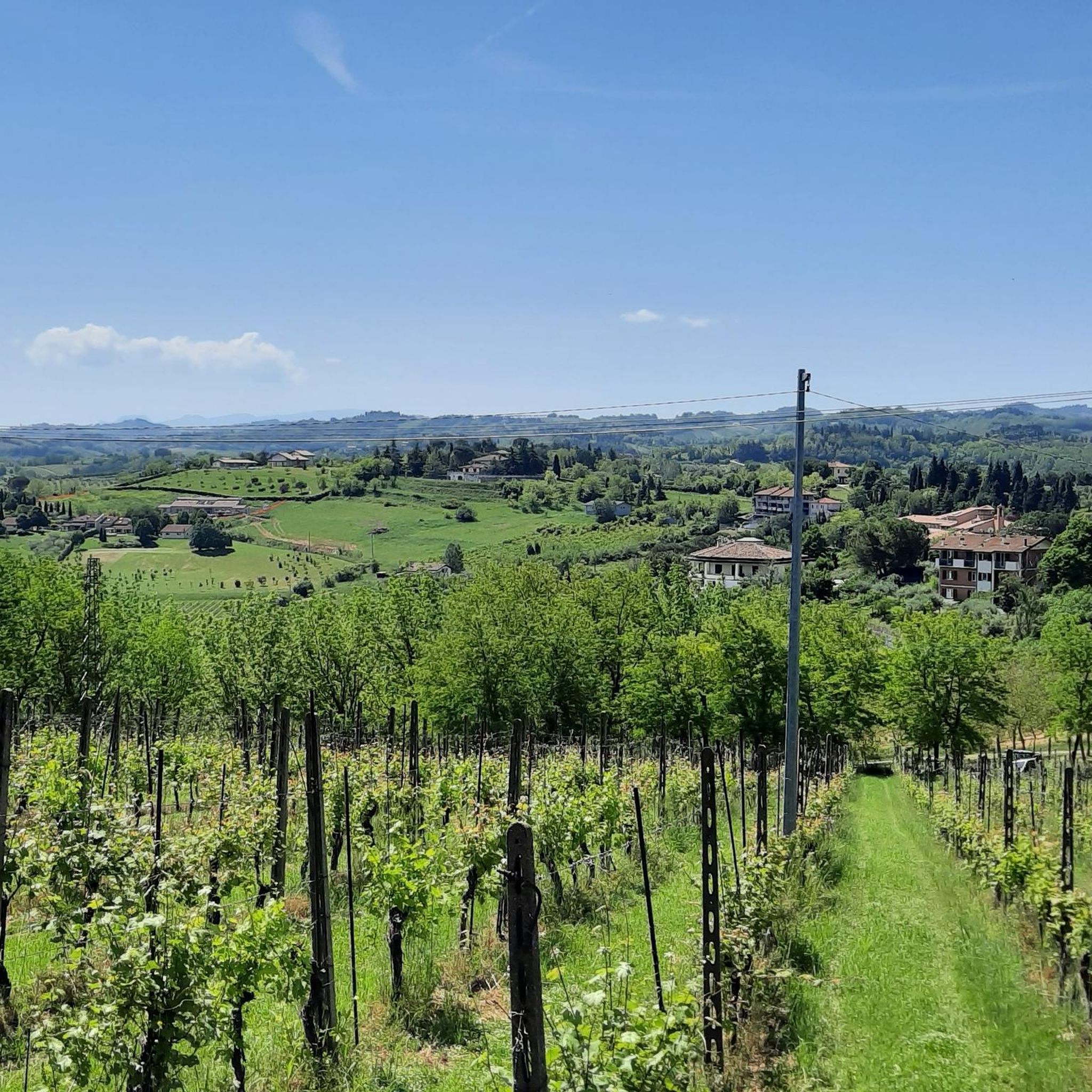
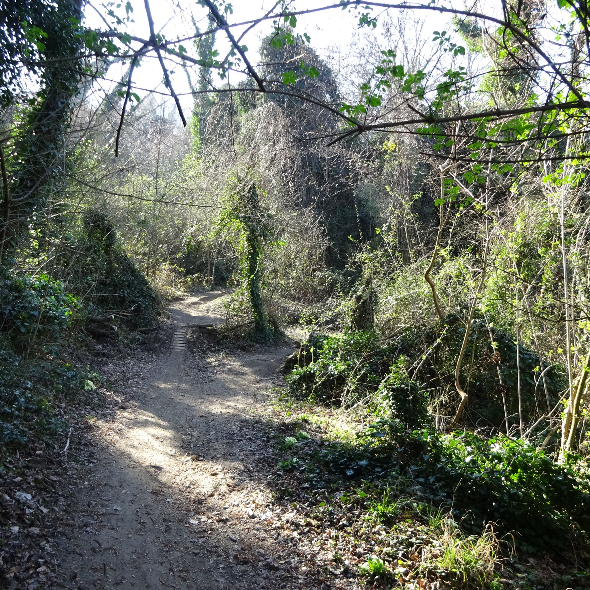
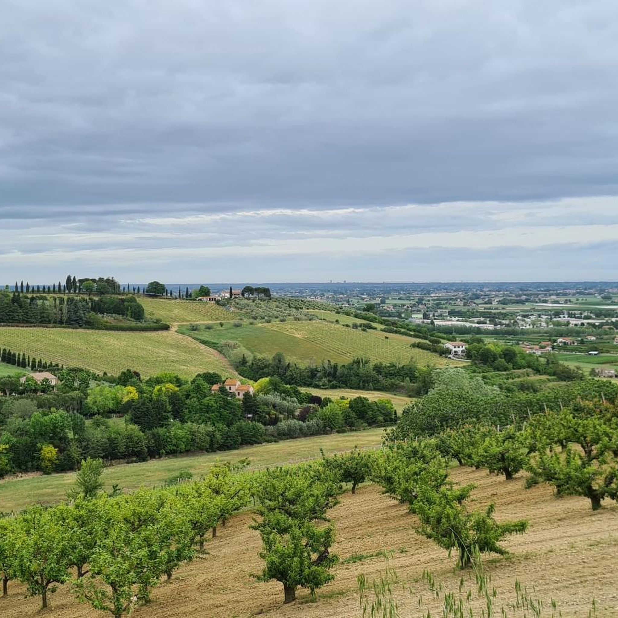



커뮤니티 팁

강둑을 따라 계속 가면 약 20헥타르의 넓은 채석장 지역을 포함하는 자연 공원에 도착하게 됩니다. 이 공원은 강이 자연적으로 구부러진 곳에 위치하며, 체세나의 역사 중심지에서 아주 가까운 거리에 희귀한 자연 환경의 독특한 모습을 간직하고 있습니다.
0
0
Cesena 북쪽에 위치한 Martorano는 Savio 강과 약 2000명의 주민이 거주하는 큰 centuriated 평원 사이에 있으며, Cesena와 Lido di Savio를 연결하는 Via Ravennate에서 차로 접근하거나 옆을 지나는 멋진 고가 자전거 도로에서 자전거로 접근할 수 있습니다. 1612년에 지어진 오래된 본당 교회는 현재 사용되지 않고 있으며, 60년대부터 운영된 새로운 Sacro Cuore 성당과 역사적인 Centrale del Latte를 포함한 도시 내 다양한 시설이 있습니다.
0
0

A lovely spot for a quick stop overlooking the Ponte Vecchio. A water dispenser with chilled and sparkling water is nearby. A great starting point for visiting Piazza del Popolo and the center of Cesena, or for heading towards the hills from Via dei Maceri.
0
0

The Roman centuriation is an unprecedented hydraulic work carried out by Roman surveyors in the third century BC in the territory from Rimini to the banks of the Ronco river: the vast plain crossed by numerous waterways was divided to give shape to large plots of land governed by a hydraulic network of canals and drainage ditches still active today, a perfect geometry with a minimal margin of error despite the absence of digital devices: who knows what they would think of our territorial bodies today after the recent events that have occurred.........🤔
0
0

Very simple route, classic walk along the river. Do not follow the route indicated on the map, that is, go under the bridge and continue to the left of the river. At a certain point the road no longer exists and you are forced to take a stretch of asphalt road, narrow and dangerous. In addition, once you have taken the correct route, it is no longer possible to cross the river and follow the route on the other bank of the river, but forcing us to retrace the road backwards. ADVICE: immediately cross the bridge, go to the right of the river, follow the entire route and retrace your steps.
0
0

Easy route to train after the winter without having to drive many kilometers. Attention: the route is completely devoid of shade due to post-flood works that have knocked down many trees and shrubs
0
0


더 살펴보기
다른 지역의 최고의 하이킹를 살펴보세요.
