바라체에서 가장 멋진 19개의 산 정상
바라체의 산 정상에 오르면 이 지역의 아름다운 모습을 제대로 구경할 수 있어요. 다만, 19
곳이나 되는 산 정상 중에서 어떤 곳을 가야 할 지 고민된다는 게 문제죠. 바라체에서 가장 멋진 산 정상을 살펴본 후에 마음에 드는 산 정상을 다음 모험 계획에 추가해보세요.
마지막 업데이트: 8월 29, 2026


이런 장소를 발견하려면 지금 가입하세요
최고의 싱글 트랙, 봉우리 및 다양한 흥미로운 야외 장소에 대한 추천을 받아보세요.
무료 회원 가입
베이구아산
하이라이트 • 정상
번역자 Google •
팁에 의해

브릭 델 덴테 정상
하이라이트 • 정상
번역자 Google •
팁에 의해

무료로 가입하여 바라체 주변의 더 많은 봉우리를 발견하세요.
무료 회원 가입
이미 komoot 계정이 있나요?
오늘 무료 계정으로 시작하세요
다음 모험이 기다리고 있어요.
로그인 또는 가입하기
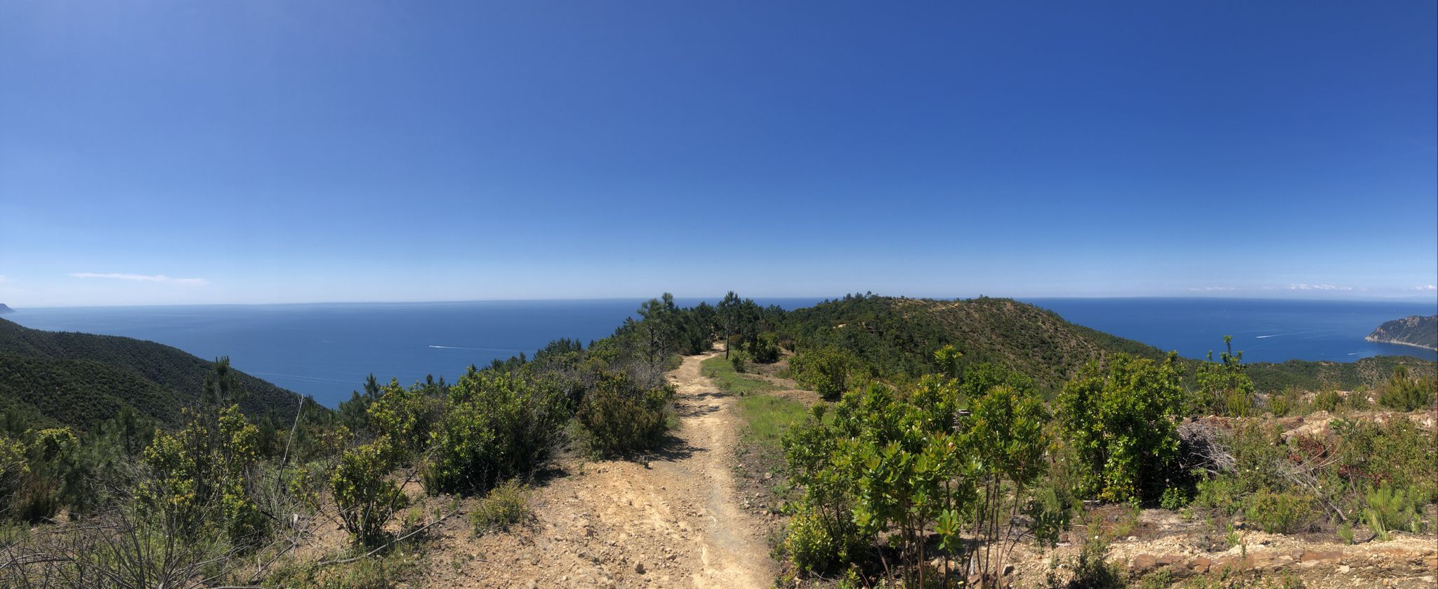
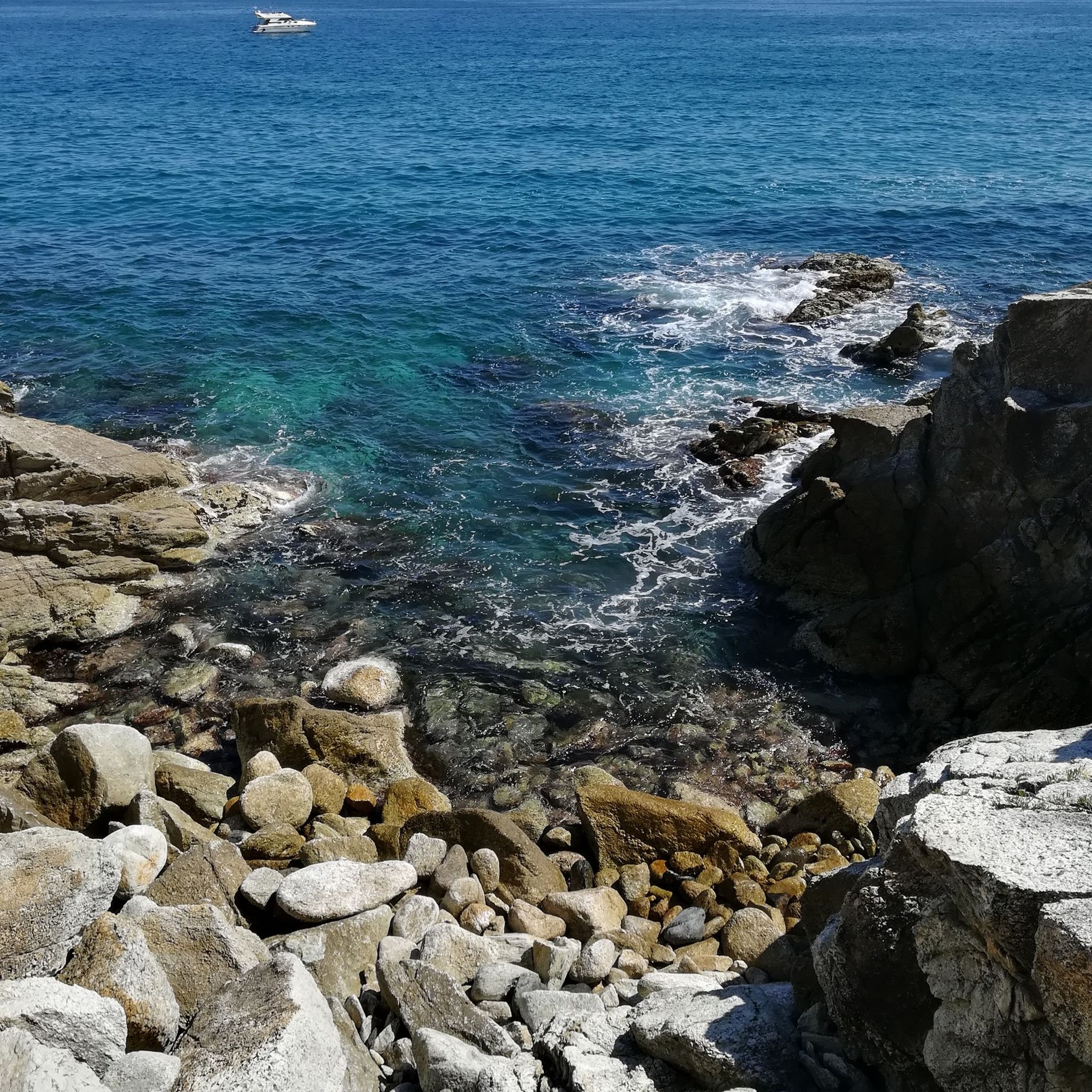
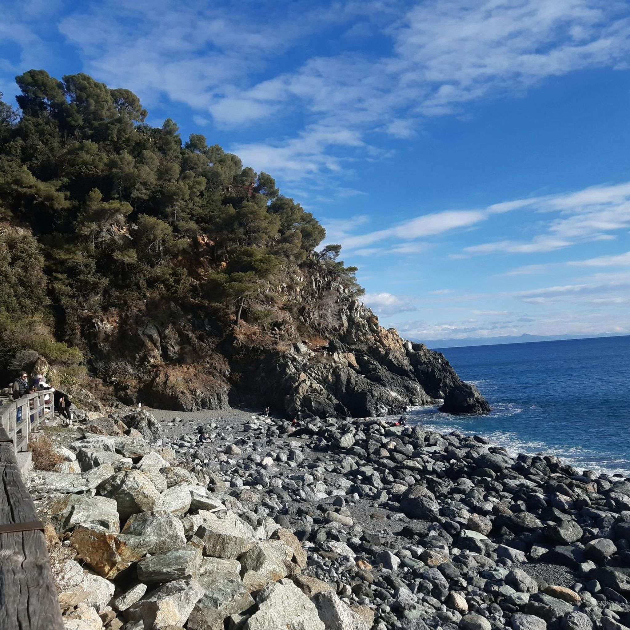

커뮤니티 팁

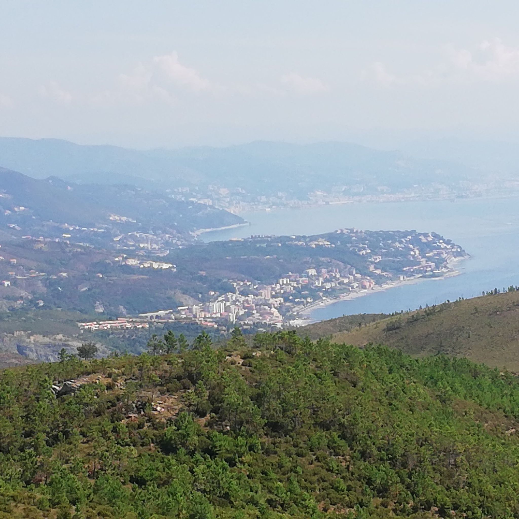
Mount Beigua is a mountain range in the Ligurian Apennines, 1,287 meters above sea level, located on the Ligurian-Po watershed. It is the highest peak of the so-called "Beigua group," which includes nearby Mount Grosso, Mount Ermetta, and Bric Veciri.
11
0

The weather is not the best but the place is very beautiful
0
0
Despite the bad weather the place had a special charm
0
0

Peak of the heart of the people of Cogoleto and beyond. On clear days it is possible to see Corsica, Capraia and the island of Elba. There are many access routes, all beautiful and with different degrees of difficulty. The routes are maintained by Cogoleto Outdoor, an association of volunteers passionate about hiking and mountain biking.
0
0

if you want, with a half hour walk from where you leave the car (Faiallo road), you can reach the top of Dente, in my opinion one of the most panoramic points in all of Liguria. If it is clear you can enjoy the entire Alpine arc to the North and - often - the coast and the view of Corsica to the South
0
0


Mount Beigua (Munte Beigua or Mount Beigoa in Ligurian) is a mountainous relief in the Ligurian Apennines, 1287 m high above sea level, which rises on the Ligurian-Po Valley watershed. It is the highest peak of the so-called "Beigua group", which includes the nearby Monte Grosso (1265 m), Monte Ermetta (1267 m), Bric Veciri (1264 m), Monte Avzè (1022 m).
1
0

바라체 주변에서 가장 인기 있는 명소


더 살펴보기
이 가이드를 통해 바라체 주변의 더 놀라운 정상들을 확인해보세요:
