경로플래너기능업데이트
App
로그인 또는 가입
앱 다운로드
로그인 또는 가입
경로
Places to see
Natural Monuments
이탈리아
리구리아
사보나

바라체

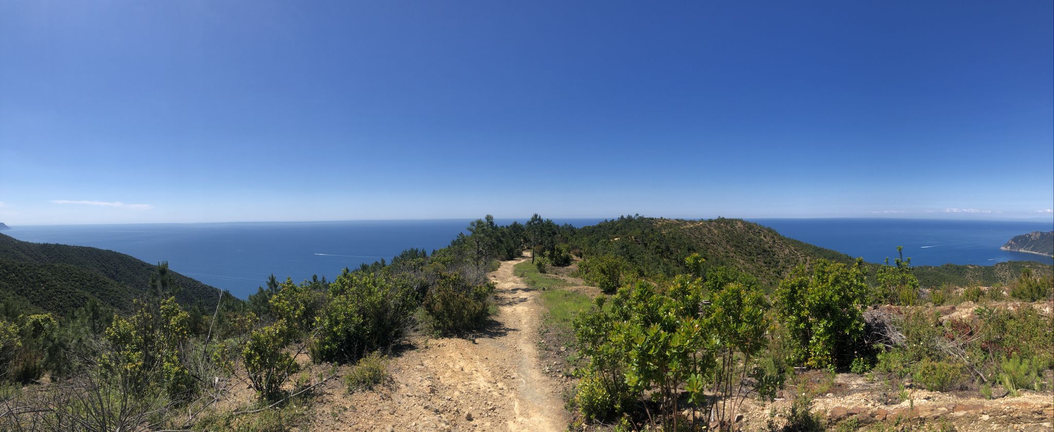
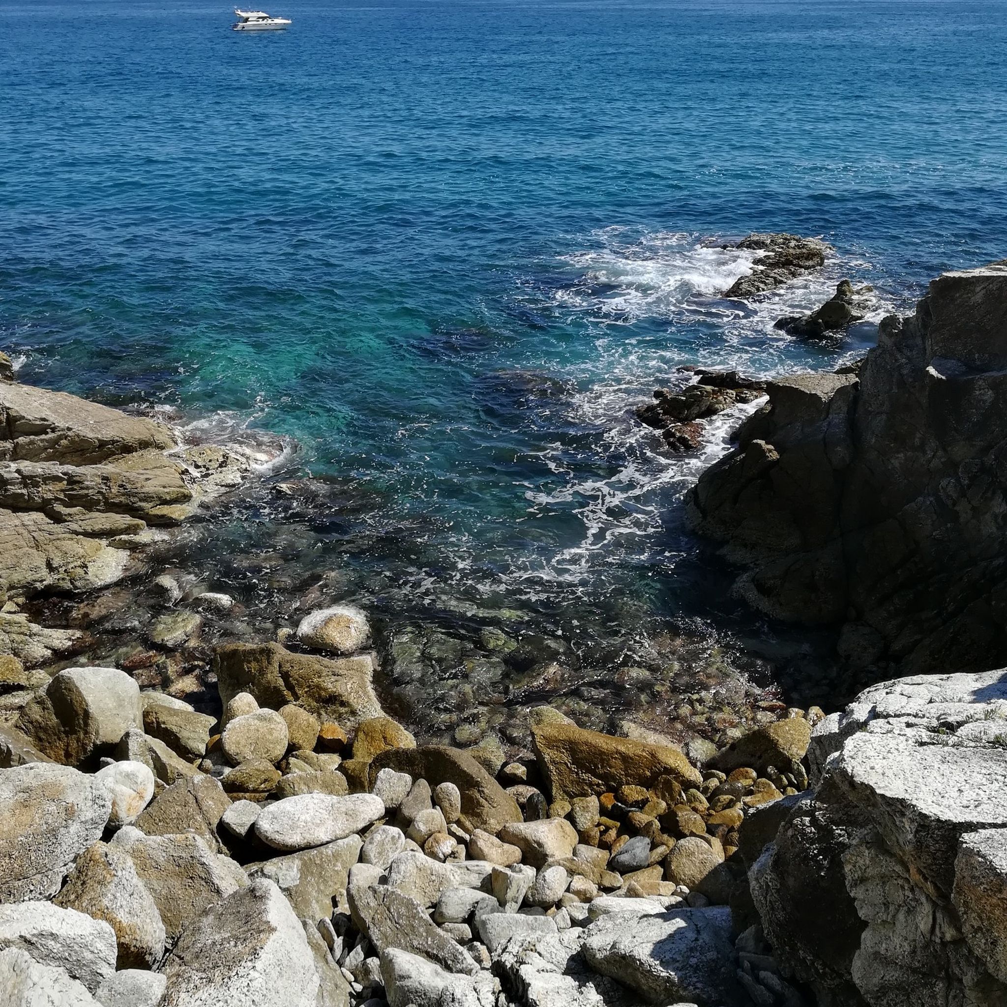
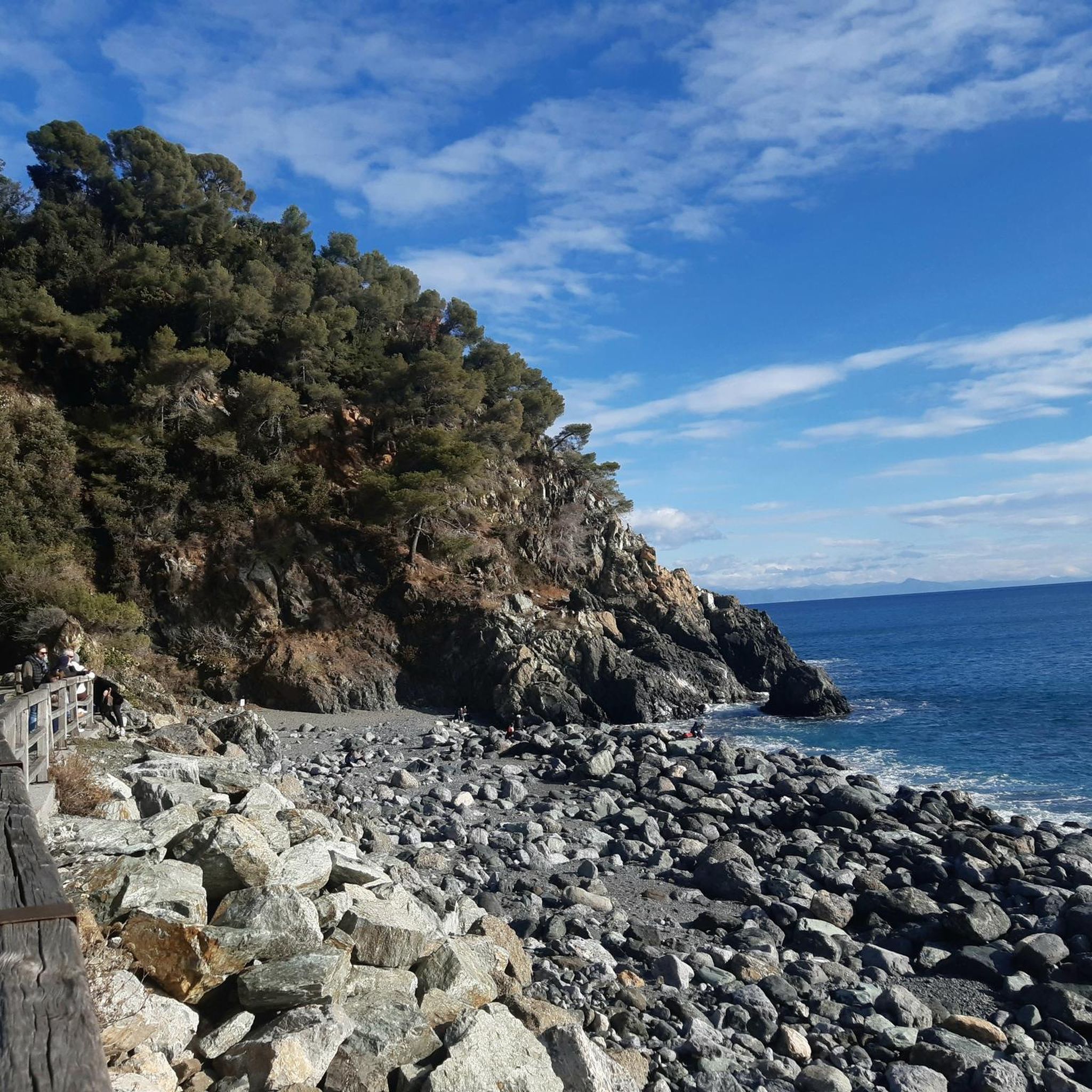
바라체‬에서 가장 멋진 ‪20‬개의 천연기념물


천연기념물을 방문하여 바라체의 아름다운 풍경을 만나보세요. 바라체에 있는 20
개의 천연기념물과 상세 정보를 살펴본 후에 방문하고 싶은 천연기념물을 다음 모험 계획에 추가해보세요!

마지막 업데이트: 10월 15, 2026

몬테 레이차

하이라이트 • 정상

The peak, like a rounded one, covered with meadows and flowers, is at the junction point of the municipalities of Genoa, Arenzano and Sassello.

Due to the characteristics of the …

번역자 Google •

팁에 의해

라이딩 보기휴대폰으로 전송
저장
The megalithic road appears as a paved avenue, bordered by a row of majestic beech trees and flanked by mighty stone walls. The north wall is made up of boulders …

번역자 Google •

팁에 의해

저장

이런 장소를 발견하려면 지금 가입하세요

최고의 싱글 트랙, 봉우리 및 다양한 흥미로운 야외 장소에 대한 추천을 받아보세요.

무료 회원 가입

로카 바카리아

하이라이트 • 정상

From the Masone toll booth on the Voltri-Alessandria motorway, turn towards Genoa for the Turchino tunnel. After passing the tunnel, turn left, then left again following the signs for the …

번역자 Google •

팁에 의해

저장

베이구아산

하이라이트 • 정상

Mount Beigua is a mountain range in the Ligurian Apennines, 1,287 meters above sea level, located on the Ligurian-Po watershed. It is the highest peak of the so-called "Beigua group," which includes nearby Mount Grosso, Mount Ermetta, and Bric Veciri.

번역자 Google •

팁에 의해

저장

폰테 네그로네

하이라이트 • 다리

At this point, from the confluence of the Rio Negrone and Rio Leone, the Lerone stream forms. The very old bridge crosses a deep rocky gorge, right at the point …

번역자 Google •

팁에 의해

저장

무료로 가입하여 바라체 주변의 더 많은 자연 기념물을 발견하세요.

무료 회원 가입

이미 komoot 계정이 있나요?

오늘 무료 계정으로 시작하세요

다음 모험이 기다리고 있어요.
로그인 또는 가입하기

바라체 주변 인기 장소

이탈리아 리비에라 변경 - 비아 델라 코스타를 따라 숨가쁜 하이킹

바라체 하이킹

바라체 러닝 트레일

바라체 로드 사이클링 경로

바라체 MTB 트레일

바라체 사이클링

바라체 주변 그래블 라이딩

바라체 주변의 다른 모험

이탈리아 리비에라 변경 - 비아 델라 코스타를 따라 숨가쁜 하이킹

하이킹 컬렉션 에 의해

Marika Abbà

커뮤니티 팁

E. Berends
9월 7, 2026, Monte Reixa

매우 걷기 쉬운 정상입니다. 꼭 하이킹에 포함시키세요. 맑은 날에는 멋진 전망을 제공합니다.

번역: Google•

0

0

Mount Beigua is a mountain range in the Ligurian Apennines, 1,287 meters above sea level, located on the Ligurian-Po watershed. It is the highest peak of the so-called "Beigua group," which includes nearby Mount Grosso, Mount Ermetta, and Bric Veciri.

번역: Google•

11

0

The weather is not the best but the place is very beautiful

번역: Google•

0

0

Despite the bad weather the place had a special charm

번역: Google•

0

0

Beautiful view!!

번역: Google•

0

0

Andre77
5월 19, 2024, Monte Beigua

Mount Beigua (Munte Beigua or Mount Beigoa in Ligurian) is a mountainous relief in the Ligurian Apennines, 1287 m high above sea level, which rises on the Ligurian-Po Valley watershed. It is the highest peak of the so-called "Beigua group", which includes the nearby Monte Grosso (1265 m), Monte Ermetta (1267 m), Bric Veciri (1264 m), Monte Avzè (1022 m).

번역: Google•

1

0

Fantastic view and satisfaction of getting there

번역: Google•

1

0

Hi Emiliano but where do you get there?? From Rifugio Argentea to Cogoleto or Arenzano what is the best route for bikes?? The one marked black 4 that starts from the refuge is decidedly portage and not at all smooth. Can you let me know something Thanks!

번역: Google•

0

0

바라체 주변에서 가장 인기 있는 경로

바라체 하이킹

바라체 주변에서 가장 인기 있는 명소

Places to see

Store rating

komoot 모바일 앱으로 영감을 받아보세요

무료 komoot 계정로 끝없는 야외 모험을 손쉽게 찾고, 맞춤 설정하며 길안내할 수 있어요.

또는

지금 komoot에 가입하세요
Store rating

더 살펴보기

바라체 주변의 최고의 동굴을 찾기 위해 이 가이드를 확인해보세요:

사셀로우르베스텔라Parco Naturale Regionale del Beigua피날레 리구르퀼리아노놀리스포티르노바도 리구레오르코 페글리노베지 포르티오칼리스 리구레베르게기토보 산 자코모보르조 베레치말라레피에트라 리구레첼레 리구르마글리올로리알토알비솔라 슈페리어로아노주스테니체폰틴브레아바르디네토카스텔베키오 디 로카 바르베나알타레에를리카사노바 레로네보이사노빌라노바 달벵가주카렐로토이라노보르미다안도라칼리자노벤돈온조발레스트리노스텔라넬로갈렌다보르게토 산토 스피리토알벵가알라시오치사노 술 네바카스텔비앙코리바나자노 테르메팔라레테스티코오실리아카이로 몬테노테시리얼아르나스코기우스발라가바자나카케어나시노오르토베로코세리아플로디오무리알도밀레시모알비솔라 마리나첸지오라이구글리아메라나로카비날레Monte Acuto - Poggio Grande - Rio Torsero

근처 어드벤처 가이드

첼레 리구르 즐길거리

background

새로운 정복을 위한 준비를 하세요

무료로 가입하기
탐험하기
경로경로 플래너기능바우처 사용하이킹MTB 트레일로드 사이클링 경로바이크패킹사이트맵
앱 다운로드
소셜 미디어에서 팔로우하기

© komoot GmbH

개인 정보 보호 정책