바라체 주변 최고의 그래블 라이딩 코스
4.3
(10)
80
자전거 타는 사람
8
라이딩
그래블 바이크를 타고 바라체 주변을 달리면 리구리아 해안과 그 내륙의 다양한 지형을 탐험하는 코스를 즐길 수 있습니다. 이 지역은 해안과의 근접성, 완만한 언덕, 그리고 아펜니노 산맥 기슭으로 이어지는 더 높은 오르막이 혼합되어 있습니다. 그래블 바이크 트레일은 종종 숲이 우거진 지역과 탁 트인 풍경을 가로지르며 다양한 주행 조건을 제공합니다. 이 지역은 고도 변화가 특징이며, 해안 마을과 내륙 마을, 그리고 산길을 연결합니다.
바라체 주변 최고의 그래블 바이크 트레일
- 가장 인기 있는 그래블 바이크 트레일은 폰틴브레아에서 출발하는 사셀로 역사 지구 – 사셀로 고개…
마지막 업데이트: 8월 28, 2026
17
자전거 타는 사람
50.2km
03:57
1,430m
1,430m
어려운 자갈길 타기. 우수한 체력 필요. 대부분 포장된 지면. 실력과 관계없이 누구나 갈 수 있음.
12
자전거 타는 사람
40.1km
02:56
840m
840m
어려운 자갈길 타기. 우수한 체력 필요. 대부분 포장된 지면. 실력과 관계없이 누구나 갈 수 있음.

무료 회원 가입
5.0
(1)
6
자전거 타는 사람
51.0km
04:11
1,250m
1,260m
어려운 자갈길 타기. 우수한 체력 필요. 대부분 포장된 지면. 실력과 관계없이 누구나 갈 수 있음.
3.0
(1)
5
자전거 타는 사람
50.9km
03:49
1,260m
1,260m
어려운 자갈길 타기. 우수한 체력 필요. 대부분 포장된 지면. 실력과 관계없이 누구나 갈 수 있음.
4.0
(2)
4
자전거 타는 사람
22.4km
01:43
550m
550m
어려운 자갈길 타기. 우수한 체력 필요. 대부분 포장된 지면. 실력과 관계없이 누구나 갈 수 있음.
더 다양한 경로와 다른 탐험가들의 추천을 살펴보세요.
무료 회원 가입
이미 komoot 계정이 있나요?
투어 추천은 다른 사람들이 komoot에서 완료한 수천 개의 활동을 바탕으로 구성되어 있습니다.
오늘 무료 계정으로 시작하세요
다음 모험이 기다리고 있어요.
로그인 또는 가입하기
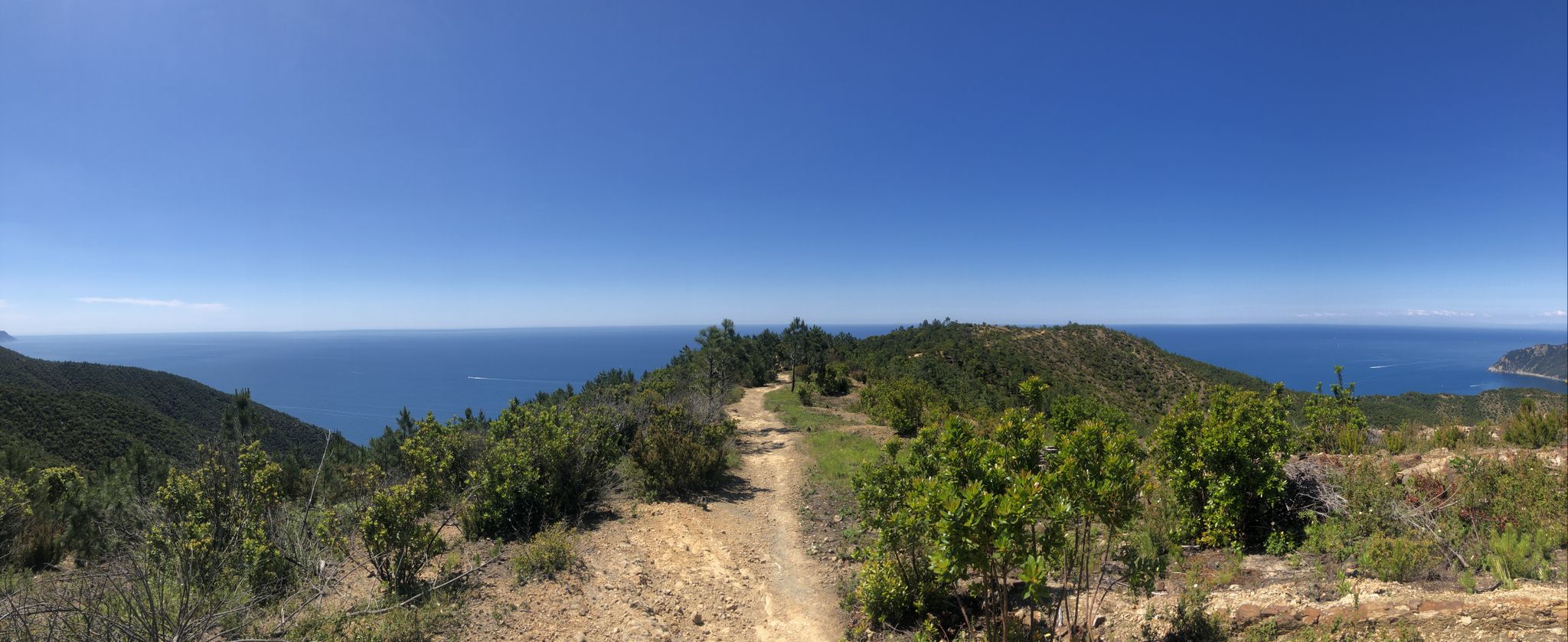
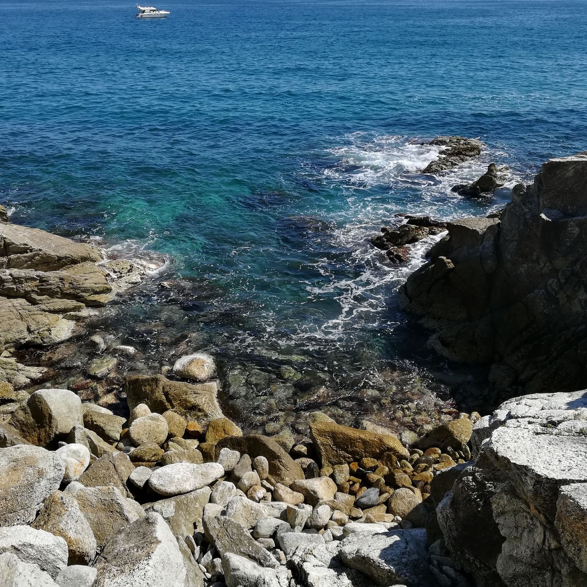
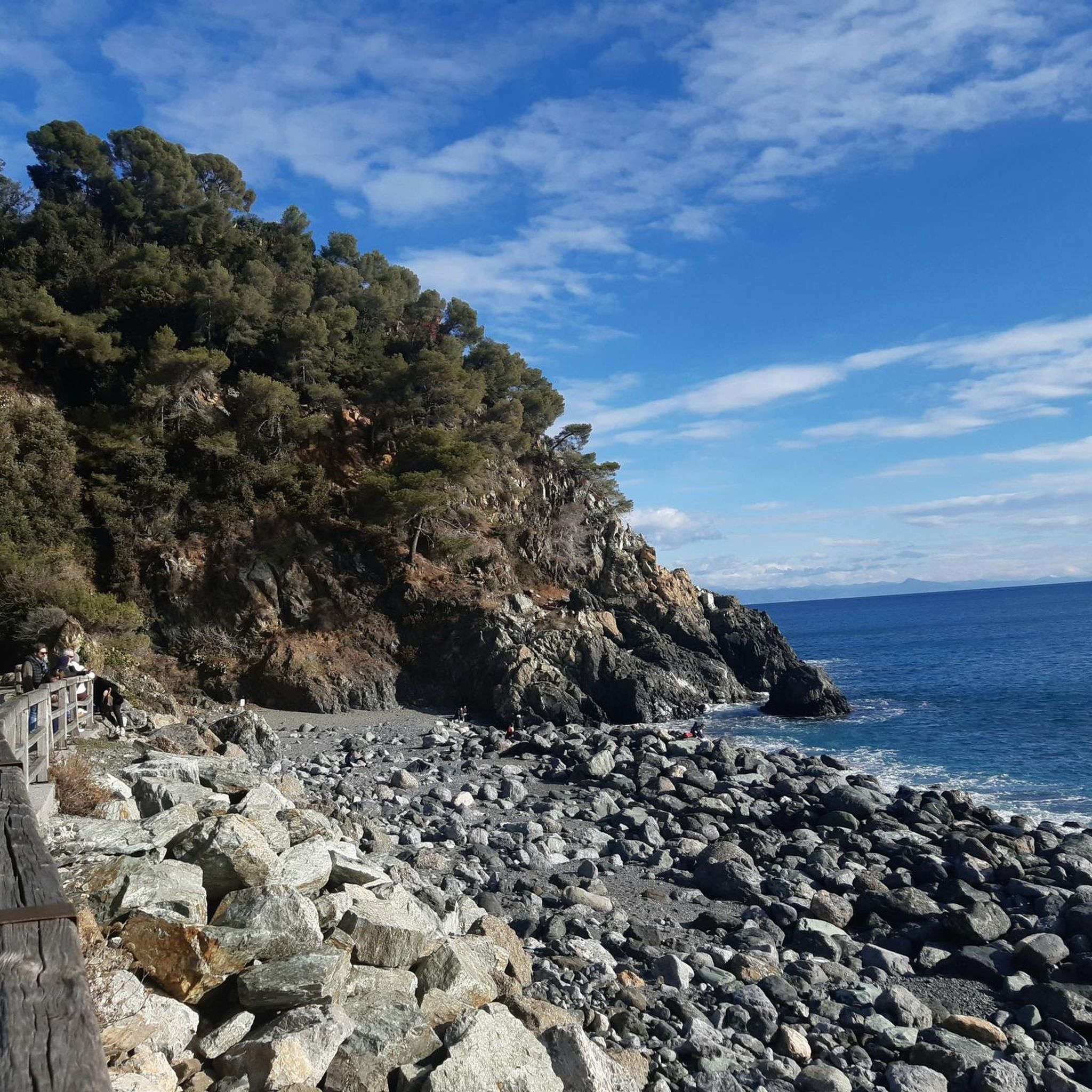

커뮤니티 팁

아페니노 바이크 투어에 있는 곳입니다. 휴식을 취하기에 좋습니다.
2
0

This bridge, known as "dell'erxo" (holm oak in the Savonese dialect), is located along a path between the vegetation of the coastal slope (heather, strawberry trees, holm oaks) and that of the northern slope, with chestnut trees, hornbeams, ferns, and more, always beautiful to see in any season. It's 20 minutes from the city center.
0
0

The Church of San Martino is one of the main places of worship located in the hamlet of the same name in the municipality of Stella (SV), Liguria. It represents one of the five historic centers ("stars") of the Savona area and has its origins in local religious tradition, dedicated to Saint Martin of Tours, a bishop known for his charitable gesture of carrying his cloak.
7
0
Alpicella, a hamlet of Varazze (SV), boasts prehistoric origins with Neolithic settlements dating back to the 4th century BC. It was known in ancient times as "Cella delle Alpi." The area, characterized by rock archaeology and Celtic-style dry-stone houses, has had a rural history linked to pastoralism and agriculture, as evidenced by the local archaeological museum.
6
0
Mount Beigua is a mountain range in the Ligurian Apennines, 1,287 meters above sea level, located on the Ligurian-Po watershed. It is the highest peak of the so-called "Beigua group," which includes nearby Mount Grosso, Mount Ermetta, and Bric Veciri.
11
0

eMTB video by GIOCAL: https://youtu.be/fG3ccuRXwkM?si=hBkJ3TRnj_o-hkeK
0
0

Very nice and well-maintained rest area.
3
1
바라체 주변에서 가장 인기 있는 경로


더 살펴보기
다른 지역의 최고의 그래블 라이딩를 살펴보세요.
