카이레이트 최고의 러닝 경로
4.3
(175)
7,602
달리기 하는 사람
468
러닝
카이레이트에서 하이킹하며 바레세 구석 부분까지 살펴볼까요? 카이레이트에 있는 모든 하이킹 및 워킹 경로 컬렉션 중 가장 멋진 하이킹 경로를 엄선하여 소개해드릴게요. 다른 하이커가 공유한 실제 팁과 사진을 살펴보고 후기를 읽으며 마음에 드는 카이레이트 워킹 경로를 찾아보세요.
마지막 업데이트: 7월 24, 2026
4.9
(11)
89
달리기 하는 사람
11.8km
01:21
110m
110m
보통 조깅. 좋은 체력 필요. 대부분 포장된 지면. 실력과 관계없이 누구나 갈 수 있음.
64
달리기 하는 사람
11.2km
01:14
100m
100m
보통 조깅. 좋은 체력 필요. 대부분 포장된 지면. 실력과 관계없이 누구나 갈 수 있음.

무료 회원 가입
4.5
(2)
35
달리기 하는 사람
5.18km
00:36
80m
80m
보통 조깅. 좋은 체력 필요. 대부분 포장된 지면. 실력과 관계없이 누구나 갈 수 있음.
46
달리기 하는 사람
15.2km
01:43
100m
100m
어려운 조깅. 우수한 체력 필요. 대부분 포장된 지면. 실력과 관계없이 누구나 갈 수 있음.
4.5
(2)
34
달리기 하는 사람
보통 조깅. 좋은 체력 필요. 대부분 포장된 지면. 실력과 관계없이 누구나 갈 수 있음.
더 다양한 경로와 다른 탐험가들의 추천을 살펴보세요.
무료 회원 가입
이미 komoot 계정이 있나요?
투어 추천은 다른 사람들이 komoot에서 완료한 수천 개의 활동을 바탕으로 구성되어 있습니다.
오늘 무료 계정으로 시작하세요
다음 모험이 기다리고 있어요.
로그인 또는 가입하기
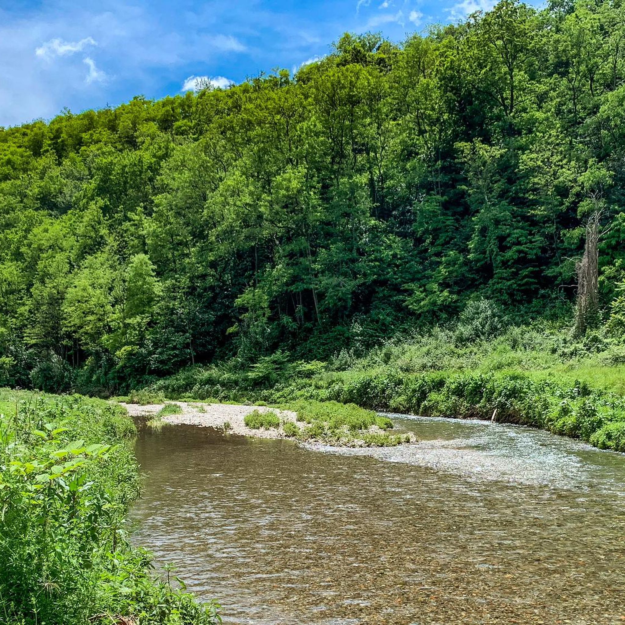
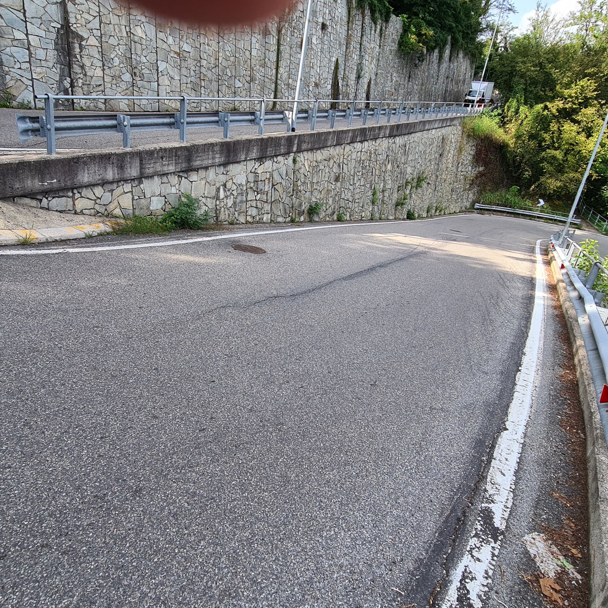
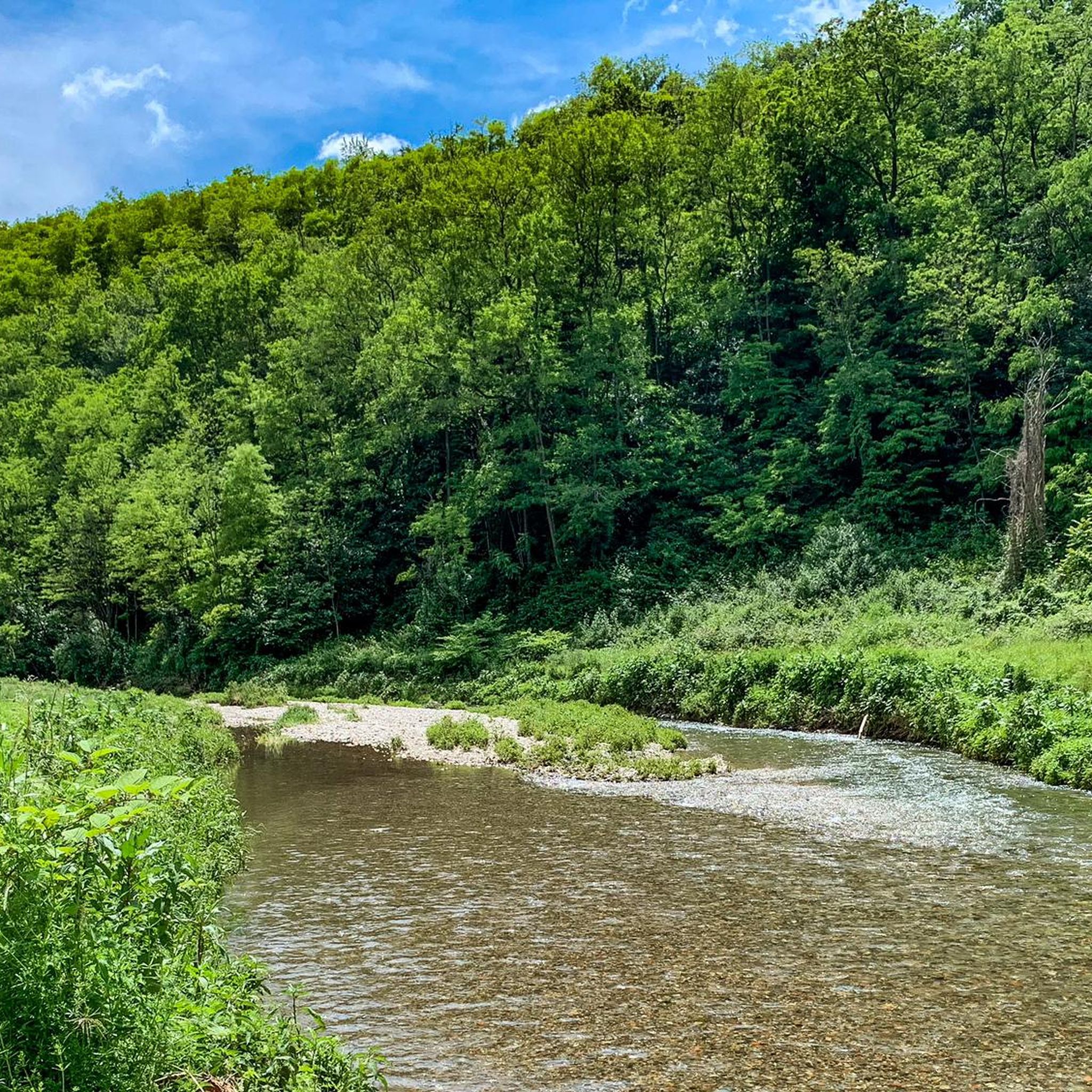
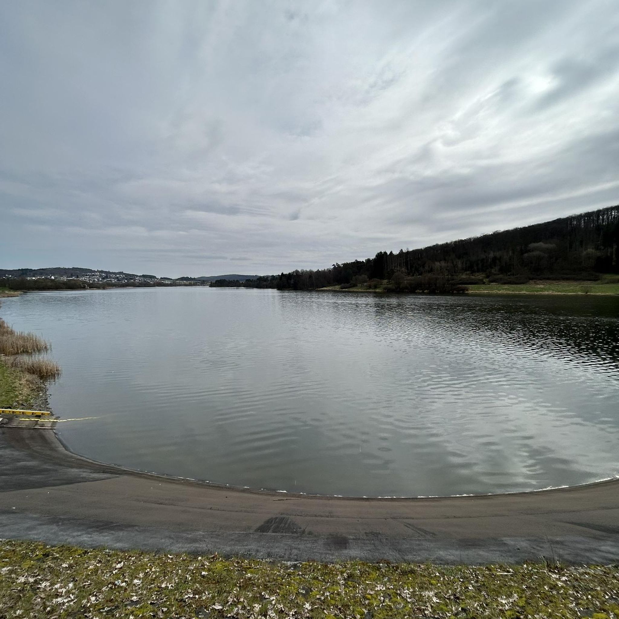
커뮤니티 팁

폐선된 철도에 있는 페달 구동식 오래된 철도 카트.
0
0

Beautiful cycle path along the Olona River. Several points of interest: the Torba Monastery (FAI) and, with a short detour, the Castelseprio Archaeological Park with the beautiful church of Santa Maria Foris Portas.
1
0

A smooth route with no significant elevation changes, suitable for everyone. The connection with the Lanza Valley cycle path is under construction, but unfortunately, there is a lot of asphalt.
0
0

from here you can indulge in relaxing walks and very interesting MTB trails... even a stretch of almost DH (hidden and for a few 🤫)
0
0

The Cairate Viaduct 🌉to be admired from the Cycle🚴 Pedestrian Path🚶
2
0

You approach the route of the former Valmorea Railway, with its disused station and enter the cycle path that heads towards the real Gurone Dam, a structure 12 metres high above the river level and 156 metres long, built between 2004 and 2009 and capable of generating a reservoir of more than a million cubic metres. The construction was necessary because this stretch of the valley has always been subject to flooding from the Olona (around 70 have been recorded since the 15th century), such as the most recent ones in 1995 and 2002. The cycle path now climbs along its embankments with an almost linear route and a gradient of almost 12%, built in this way so as not to interfere with the structure of the dam and its hydraulic characteristics. Once you reach the top, be careful on the descent. After reaching the closest point to the river, you start following the railway again, of which you can see sections of tracks in the woods. Now on the right we have the Pedemontana motorway and you cycle in one of the tunnels created during its construction. You can now reach the small public garden equipped with a rack with e-bike charging and a self-repair kit or, keeping to the left at the roundabout and crossing the provincial road, you head south. We are in the Lozza plain, which you cross on the side of the railway embankment with a long straight stretch before arriving at a narrow peninsula formed on the left by the Olona and on the right by the Selvagna stream. After crossing the stream, the path goes to the side of the provincial road to enter Castiglione Olona. On the right, the railway system of the former station opens up, where you can still see some carriages. At the crossing, keep left to continue on the cycle path, while instead you will go to the right to reach the historic village.
1
0
This cycle path connects the Swiss border with Castellanza, it develops between the Lanza Valley and the Olona Valley in a succession of natural environments, evidence of human work and truly surprising historical-architectural sites. The chosen direction, from North to South, allows you to travel downhill on the sections with greater slopes.
0
0
카이레이트 주변에서 가장 인기 있는 명소


더 살펴보기
다른 지역의 최고의 러닝 트레일 & 경로를 살펴보세요.
