투르 최고의 워킹 & 하이킹 경로
4.6
(386)
1,572
등산객
30
하이킹
정확한 경로를 찾는 것이 때로는 어렵지만 투르에서 하이킹을 하면 다양한 경치를 마음껏 감상할 수 있답니다. 투르에서 가장 멋진 하이킹과 워킹 중에서 마음에 드는 활동을 시작해보세요.
마지막 업데이트: 11월 1, 2026
4.1
(15)
50
등산객
9.29km
02:32
130m
130m
보통 하이킹. 좋은 체력 필요. 쉽게 걸을 수 있는 길.
4.8
(15)
74
등산객
3.42km
00:55
40m
40m
초급용 하이킹. 쉽게 걸을 수 있는 길.

4.5
(6)
56
등산객
6.97km
01:47
30m
30m
초급용 하이킹. 쉽게 걸을 수 있는 길.
4.8
(8)
25
등산객
26.2km
06:51
200m
200m
어려운 하이킹. 우수한 체력 필요. 쉽게 걸을 수 있는 길.
4.6
(5)
44
등산객
3.23km
00:49
0m
0m
초급용 하이킹. 쉽게 걸을 수 있는 길.
더 다양한 경로와 다른 탐험가들의 추천을 살펴보세요.
이미 komoot 계정이 있나요?
투어 추천은 다른 사람들이 komoot에서 완료한 수천 개의 활동을 바탕으로 구성되어 있습니다.
오늘 무료 계정으로 시작하세요
다음 모험이 기다리고 있어요.
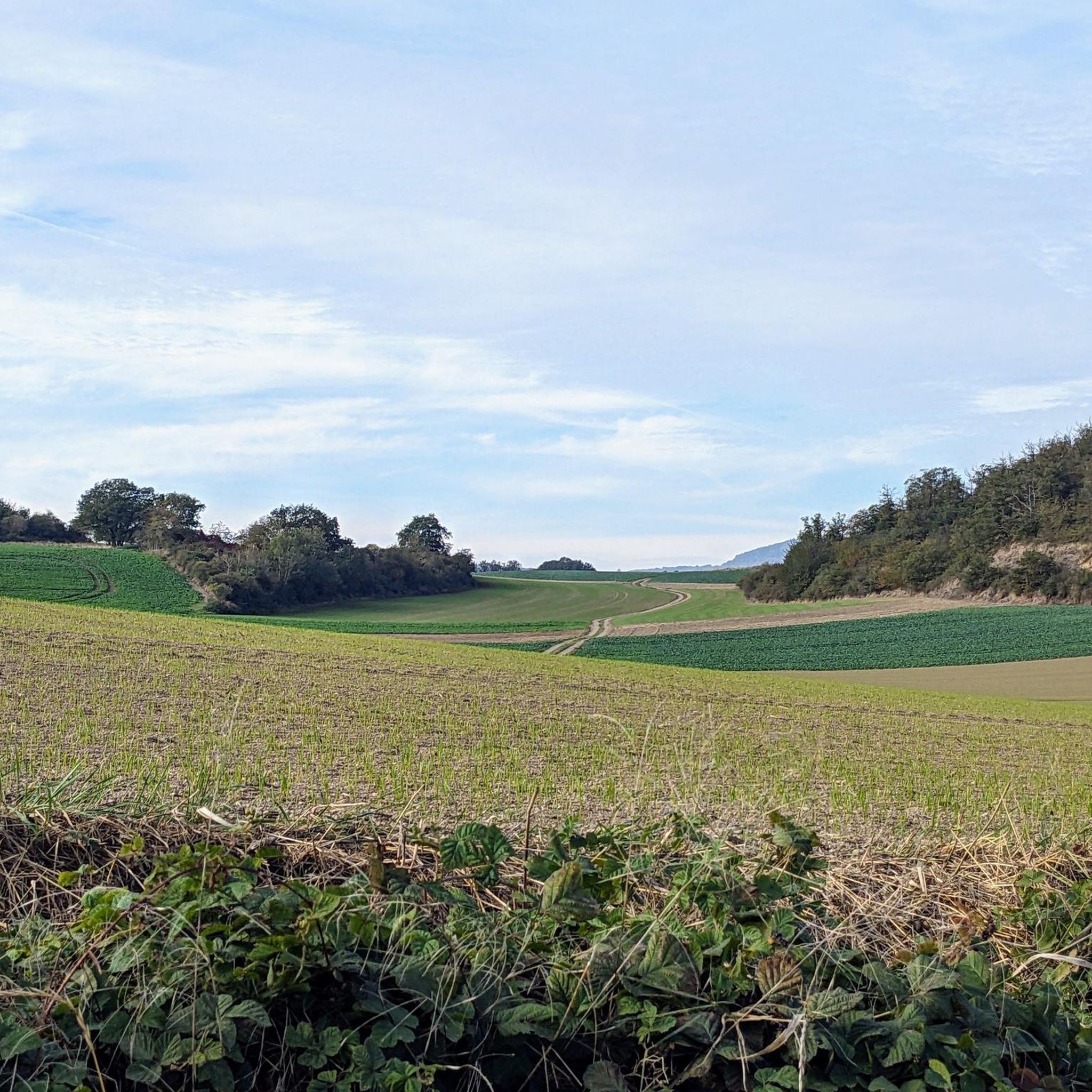
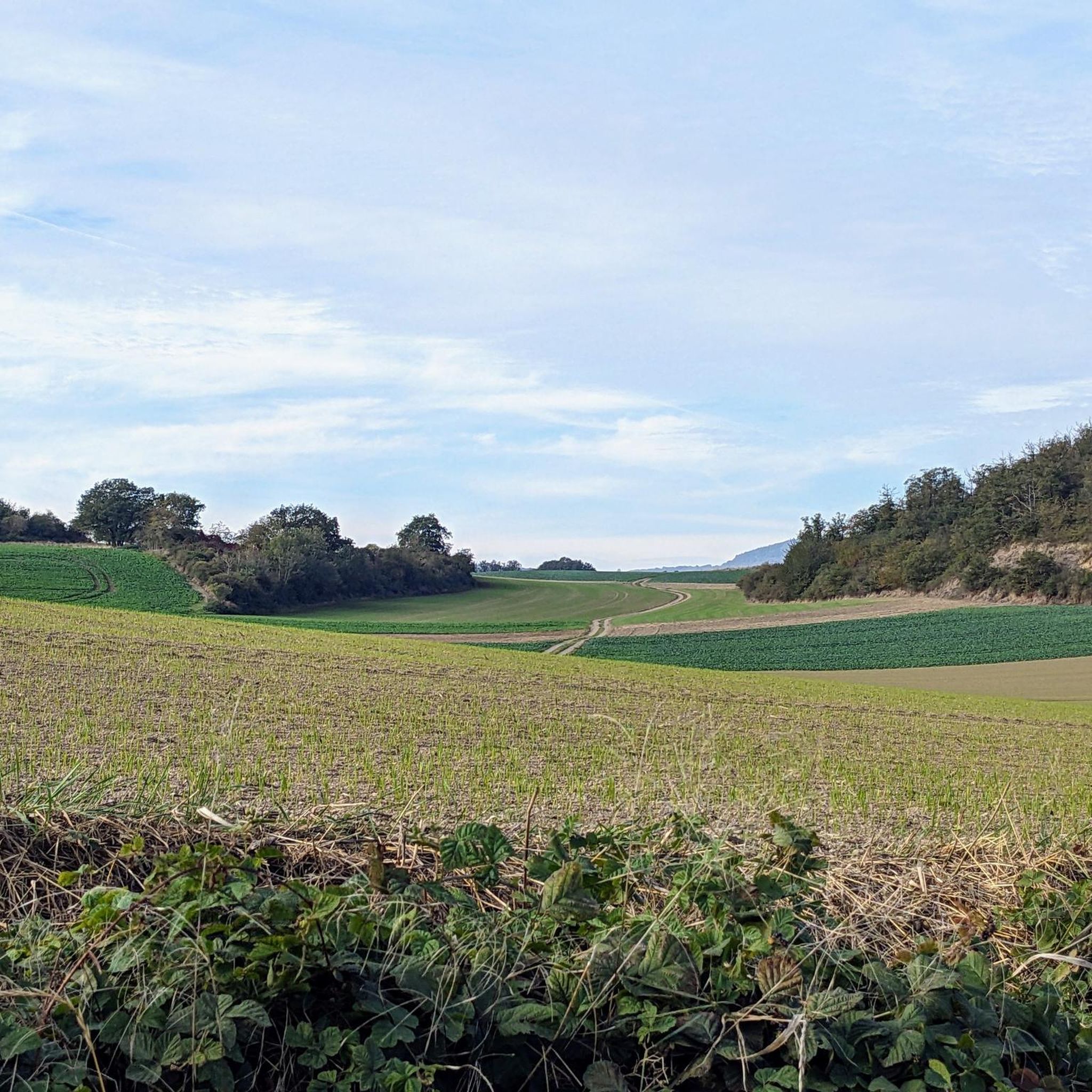
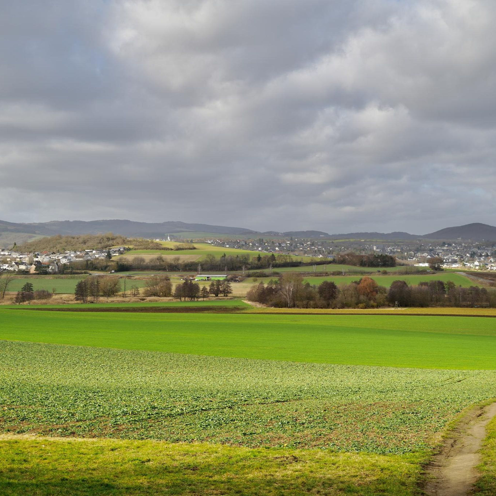
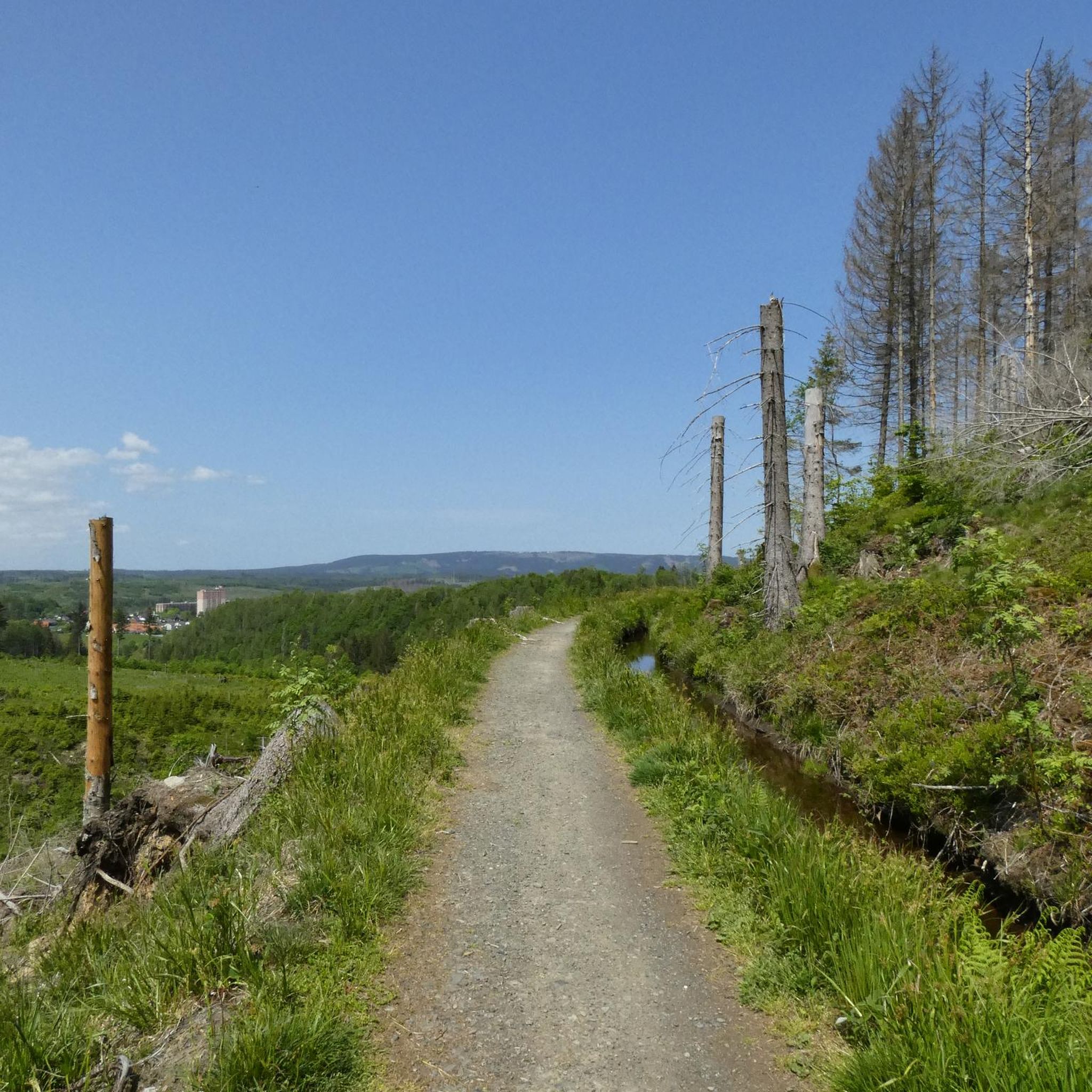
커뮤니티 팁

오늘날까지 보존된 성벽의 북쪽 문은 1299년에서 1354년 사이에 지어진 뫼네 강변의 다리문(Brückentor)입니다. 이 문은 뫼네 강을 건너는 것을 보호했으며 주로 코블렌츠 방향에서 오는 도시 입구로 사용되었기 때문에 „코블렌츠 문“(Koblenzer Tor)이라는 이름도 가지고 있습니다. 쇠창살을 위한 벽 틈의 흔적이 없기 때문에, 문을 보호하기 위해 뫼네 강의 다리 기둥으로 이어지는 도개교가 사용되었을 것으로 추정됩니다. 1598년 홍수로 인해 다리문은 앞문과 함께 무너졌습니다. 그러나 1599년이라는 새겨진 숫자는 다리문이 불과 1년 후 다시 재건되었음을 증명합니다. 19세기 초부터 1855년까지 다리문은 감옥으로 사용되었습니다. 1911년에 추가된 도시 문장은 오늘날까지 볼 수 있습니다. 출처: Jonas Breithaupt, 코블렌츠-란다우 대학교, 2015
4
0

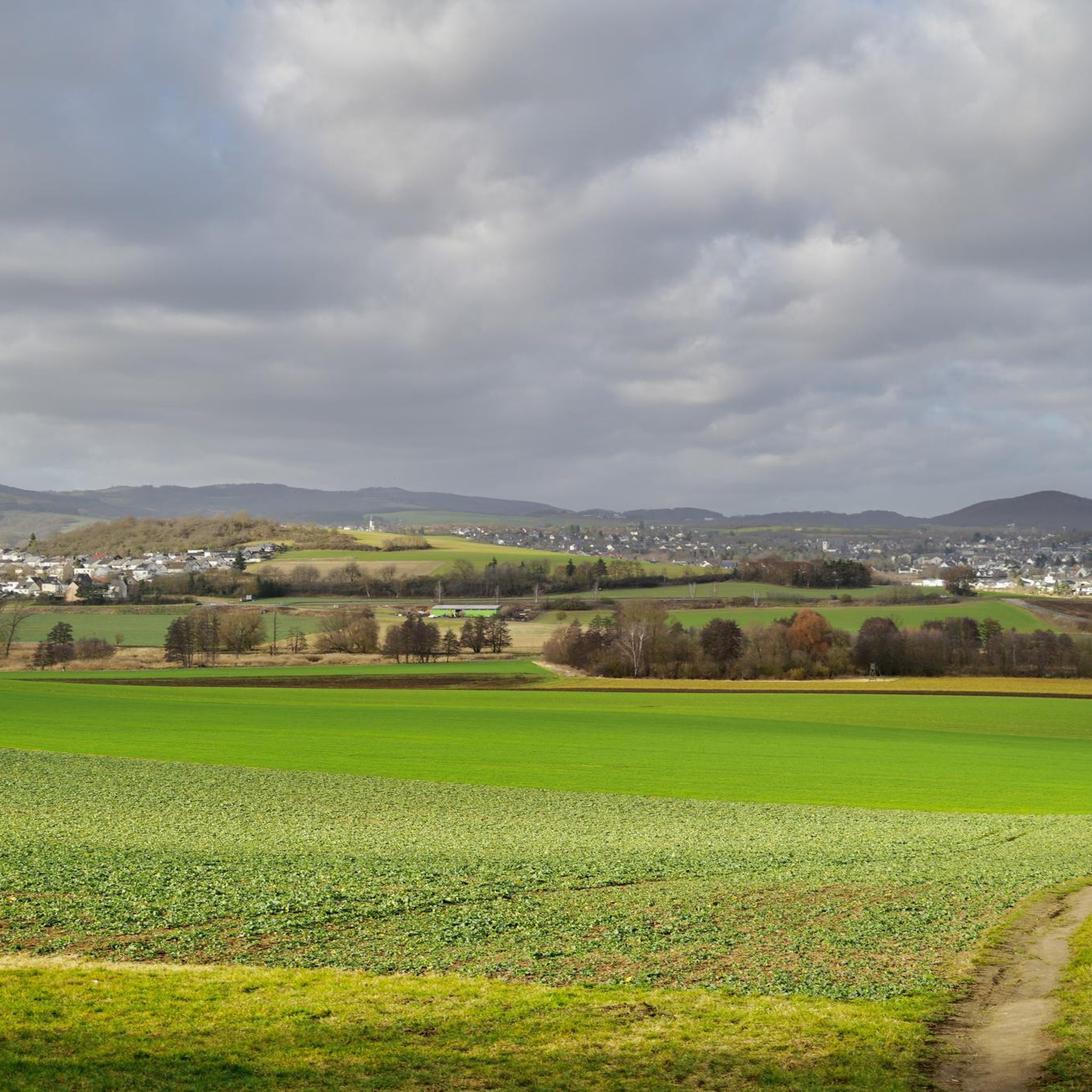
The Thürer meadows are beautiful in every season; with a bit of luck you might see egrets and other wildlife. It's always worth hiking there.
1
0

A wonderful place to explore... especially in autumn... a black wall behind colorful leaves
9
0

The water buffalo are impressive animals and ideally suited to the meadows of the NSG
5
0

The Fraukirch is a very old pilgrimage church in the Eifel region. Strictly speaking, it belongs to the municipality of Thür in der Pellenz, but due to its location in the open fields and its regional significance, it is also often mentioned in connection with surrounding villages such as Trimbs. The origins of the Fraukirch, dedicated to the Virgin Mary, date back to the early Middle Ages. Excavations suggest that the current building was built on the foundations of a Franconian hall church from the 8th century, making it one of the oldest churches in the Eifel. The church building that survives today dates primarily from the early 13th century and was built in the Rhenish Transitional style. The nave still displays late Romanesque elements, while the choir is already characterized by early Gothic pointed arches. A special feature and a great distinction of the Fraukirch is its close connection to the Genoev saga. According to legend, Count Palatine Siegfried is said to have founded the church in thanksgiving for the miraculous rescue of his innocently slandered wife, Genevieve of Brabant, by the Virgin Mary. Inside the church is a remarkable, richly decorated high altar made of tuff stone from 1664, which, in addition to the Annunciation, also depicts the main scenes from the Genevieve Saga with impressive craftsmanship. The church also contains a tombstone, which is believed to be the gravestone of Count Palatine Siegfried and his wife, Genevieve. Fraukirch was a popular pilgrimage site for centuries. Another special feature near the church is the so-called "Golo Cross," the original parts of which are now housed in the church. It is an impressive stone cross made of basalt lava with an inscription of the "Salve Regina" from 1472. The name "Golo Cross" also refers to the Genevieve Saga and the treacherous court marshal, Golo. Until 1764, the church was the private church of the Bishop of Trier, then passed to the Maria Laach Abbey, and after secularization, it was auctioned off around 1804. Today, the complex consists of the church and a neighboring farmstead, with the church having belonged to the Catholic parish of Thür since a donation in 1906. It is idyllically situated amidst open fields and remains a destination for pilgrims from the region.
0
0

Very beautiful pond landscape in the Thürer meadows.
2
0


더 살펴보기
다른 지역의 최고의 하이킹를 살펴보세요.
