베르토바에서 가장 멋진 20개의 산 정상
베르토바의 산 정상에 오르면 이 지역의 아름다운 모습을 제대로 구경할 수 있어요. 다만, 20
곳이나 되는 산 정상 중에서 어떤 곳을 가야 할 지 고민된다는 게 문제죠. 베르토바에서 가장 멋진 산 정상을 살펴본 후에 마음에 드는 산 정상을 다음 모험 계획에 추가해보세요.
마지막 업데이트: 10월 11, 2026
피초 포르미코 정상
하이라이트 • 정상
번역자 Google •
팁에 의해


이런 장소를 발견하려면 지금 가입하세요
최고의 싱글 트랙, 봉우리 및 다양한 흥미로운 야외 장소에 대한 추천을 받아보세요.

콜레 갈로의 마돈나 데이 치클리스티
하이라이트 • 종교적 장소
번역자 Google •
팁에 의해

Monte Sparavera
하이라이트 • 정상
번역자 Google •
팁에 의해
무료로 가입하여 베르토바 주변의 더 많은 봉우리를 발견하세요.
이미 komoot 계정이 있나요?
오늘 무료 계정으로 시작하세요
다음 모험이 기다리고 있어요.


베르토바 주변의 다른 모험

커뮤니티 팁

원래 "자전거 타는 사람들의 성모"에게 헌정된 현재의 성소는 "눈의 성모"라고 불렸습니다. 지로 디 이탈리아와 지로 디 롬바르디아의 일부 구간(다른 많은 작은 구간 외에도)의 고전적인 오르막 코스이기 때문에, 지난 세기 말에 교회 옆에 작은 자전거 박물관이 만들어진 것을 고려하여 그렇게 불리게 되었습니다. 그곳에 유명한 프로 선수들이 그들의 기념품을 기증했습니다.
15
0

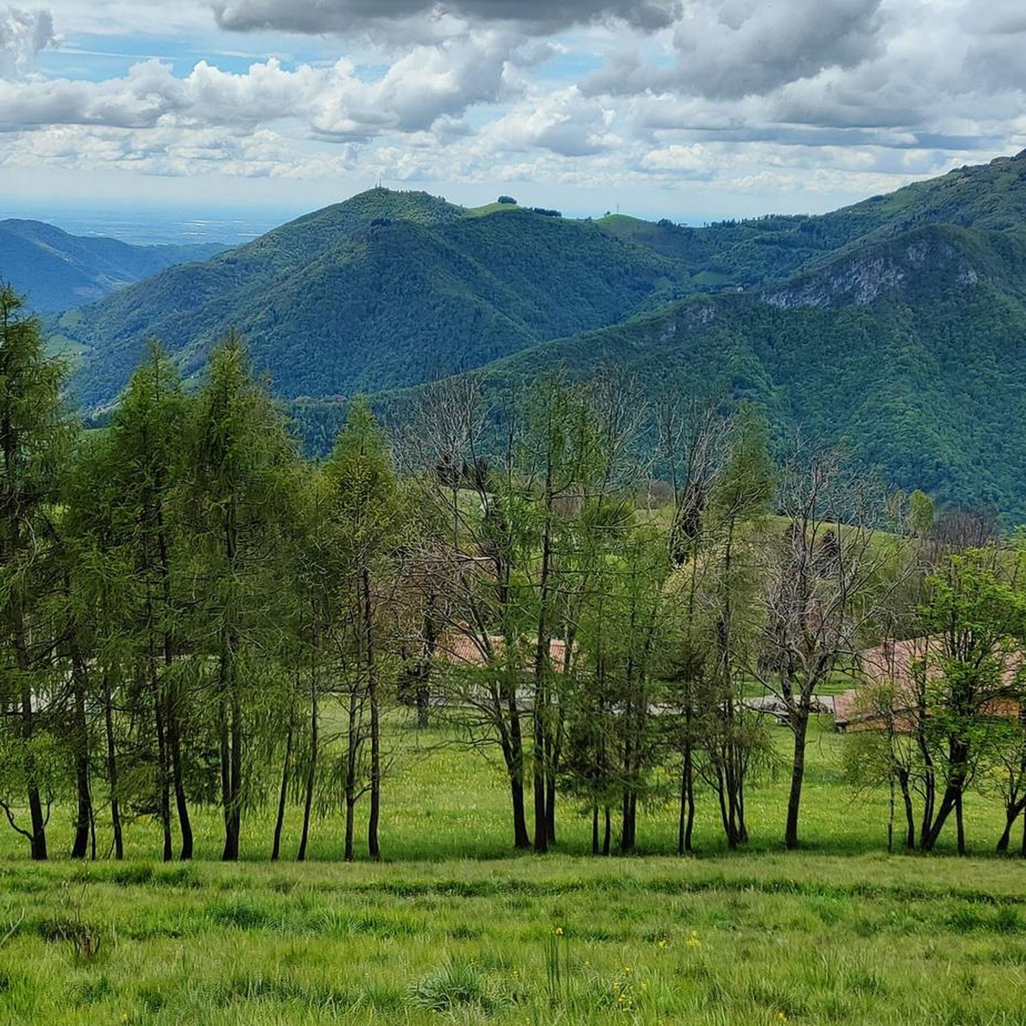
From Pizzo Formico (1636 m) you can enjoy a spectacular view of the Bergamo Prealps, the Seriana Valley, the Gandino Valley and, on clear days, even Monviso. What you can see from the summit: Val Seriana and the Clusone plateau. Val Gandino, with its historic villages. Presolana, the "Queen of the Orobie". Lake Iseo, visible on clear days. Adamello Group, the Bergamo and Lecco Orobie. Po Valley, with glimpses of the Apennines. The summit cross, 12 meters high, is a point of reference for hikers and is illuminated on special occasions
1
0
Monte Sparavera is a peak in the Bergamo Prealps, located at 1369 meters above sea level. It offers a spectacular view of Lake Endine and Val Cavallina. Recommended route Start: Gandino or Peia Trail: CAI 547 Difference in altitude: About 800 meters Duration: 4 hours (round trip) Difficulty: Hiking (E) The route passes through woods, panoramic meadows and a forest road that leads to the summit. From the summit you can admire Monte Guglielmo, Pizzo Arera, Monte Alben and Lake Iseo
1
0

Beautiful panoramic peak from which you can admire many peaks of the Orobic Alps and beyond, the closest ones; Alben, Menna, Arera, Foppazzi. The climb is quite steep but does not present particular difficulties or dangers. However, you must always be careful with how much. In winter, crampons are recommended (if not mandatory in case of icy snow)
1
0

Mandatory passage if you pass through these areas.
11
0

Beautiful pass, good to ride. At the top there is a small reindeer bike museum and a chapel, the former was unfortunately closed. There is also a small coffee place
3
0

Mount Grem is a 2049 m high mountain in the Bergamo Prealps, located between the Riso valley (lateral side of the Seriana valley) and the Serina valley (lateral side of the Brembana valley), in the province of Bergamo. The paths to get to the top are not exposed, although steep in some sections
2
0

Simple walk with great views. During the journey, two lakes come into view. I would happily stay here again.
3
0


더 살펴보기
이 가이드를 통해 베르토바 주변의 더 놀라운 정상들을 확인해보세요:
