아고르도 최고의 워킹 & 하이킹 경로
4.4
(341)
2,208
등산객
32
하이킹
정확한 경로를 찾는 것이 때로는 어렵지만 아고르도에서 하이킹을 하면 다양한 경치를 마음껏 감상할 수 있답니다. 아고르도에서 가장 멋진 하이킹과 워킹 중에서 마음에 드는 활동을 시작해보세요.
마지막 업데이트: 8월 30, 2026
4.1
(14)
157
등산객
13.6km
06:15
1,180m
1,180m
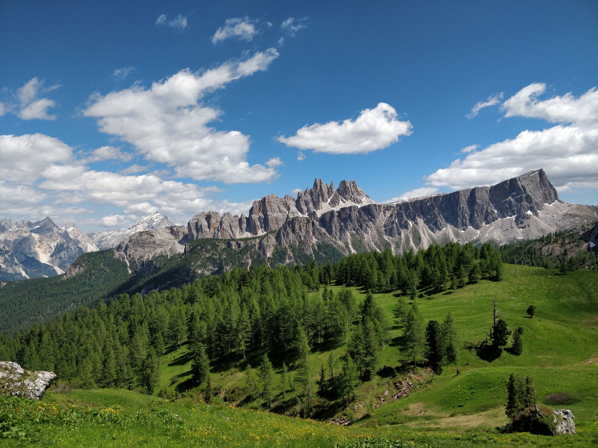
Forest hike from mural-decorated Agordo to a sunny refuge with complete Dolomites UNESCO views.
4.6
(19)
59
등산객
8.35km
03:30
540m
560m
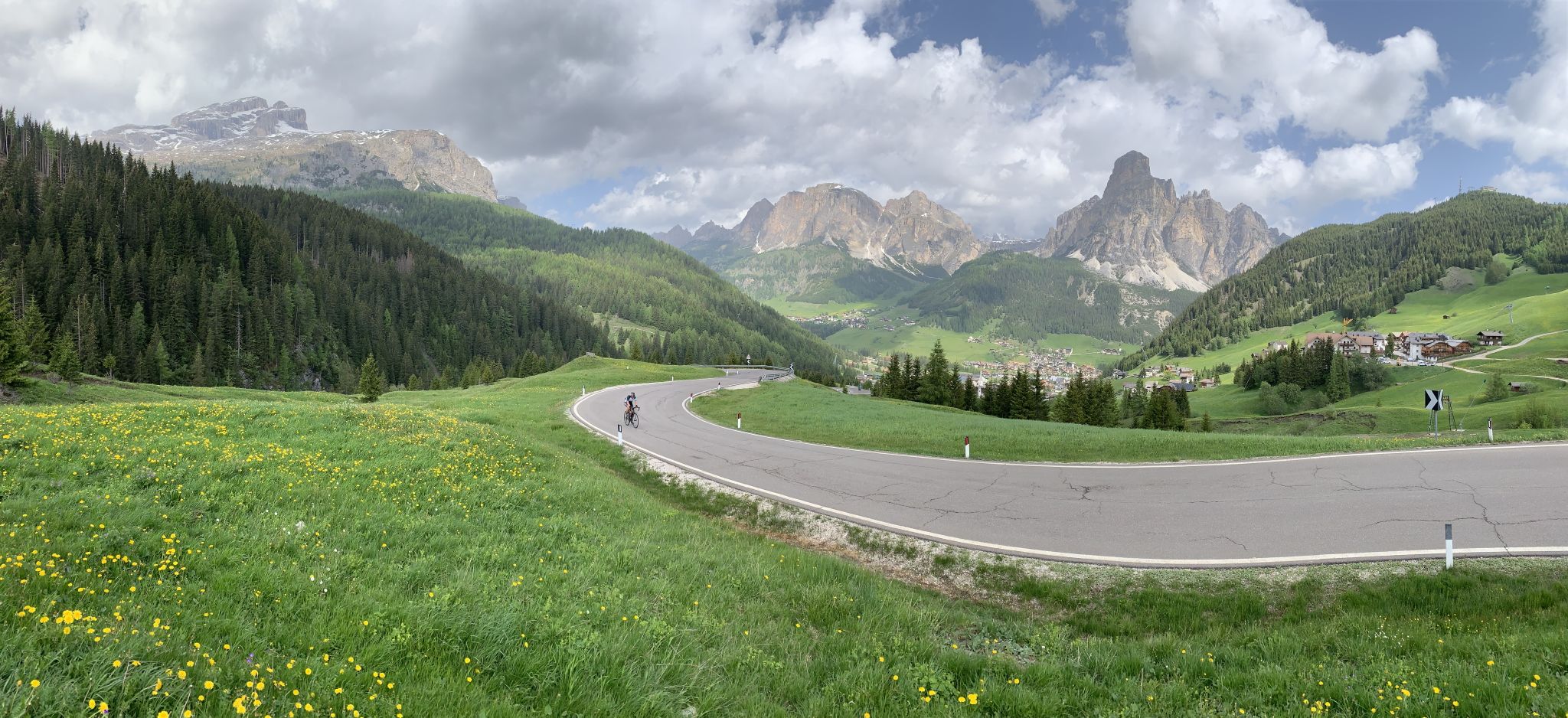
This difficult 5.2-mile hike to Rifugio Bruto Carestiato from Nele offers challenging terrain and panoramic views in the Belluno Dolomites.

무료 회원 가입
1.0
(1)
3
등산객
7.87km
03:15
650m
650m
Ancient mule track through Dolomites passes haunting ghost village of perfectly preserved stone houses.
4
등산객
6.67km
02:38
490m
490m
Quiet Dolomites trail beneath Moiazza's towering limestone walls, rarely visited by crowds.
5.0
(1)
8
등산객
25.1km
06:55
410m
410m
Hike the difficult 15.6-mile Cammino delle Dolomiti - Stage 08, gaining 1344 feet through charming towns and river valleys.
더 다양한 경로와 다른 탐험가들의 추천을 살펴보세요.
무료 회원 가입
이미 komoot 계정이 있나요?
투어 추천은 다른 사람들이 komoot에서 완료한 수천 개의 활동을 바탕으로 구성되어 있습니다.
오늘 무료 계정으로 시작하세요
다음 모험이 기다리고 있어요.
로그인 또는 가입하기






커뮤니티 팁

Beautiful tour with wonderful views and good paths.
0
0

The Carestiato Refuge (1,834 m) stands on the panoramic Còl dei Pass, at the base of the southern faces of the Moiazza. It was built after World War II thanks to a courageous initiative by the Agordina Section of the Italian Alpine Club (CAI). The project was largely supported by the Carestiato family, in memory of their young son Bruto (1921-1943), who died in the Civetta massif. Còl dei Pass, chosen for the refuge, was at that time accessible only by a path used by herds from the nearby mountain pasture: all the necessary materials were therefore carried on the shoulders of endless teams of volunteers who ascended from Passo Duràn. Later, the collaboration of the Alpine troops from the XXII Marzo 1848 Barracks, who intervened several times with their pack animal unit, proved providential. Only the framework was prepared by sourcing wood from the adjacent wooded area and transported to the hill via rudimentary cableways. Over the years, the refuge has undergone technical and structural modernizations to provide logistical assistance to its numerous hikers. The current access (trail 549) was completed in 1978 and subsequently expanded several times. A unique feature is the crossing of the enormous Val di Vie gravel flow, which often blocks the dirt road. The water intake for the refuge's aqueduct is located here, supplied by a modern pumping station. The old structure underwent a radical renovation in 2005-2006, bringing the refuge to a modern and efficient standard through the expansion and modernization of the sleeping accommodations, kitchen area, and outdoor terrace. These works began under the presidency of Giorgio Fontanive and were completed thanks to funding from the Veneto Region, along with funds acquired from the sale of the "Cesare Tomè" refuge at Passo Duràn. The Carestiato Refuge has 8 bedrooms, each with 4 bunk beds, and an additional 4 bedrooms in the annex at the back. From here, the view sweeps across the Agordina Valley and its surrounding mountains: Monte Célo, Monti del Sole, Vette Feltrine, and the Croda Granda-Agnèr mountain range. www.rifugiocarestiato.com
1
0

El Broi, the church of Santa Maria Nascente, the Crotta-De Manzoni villa and the view of the peaks surrounding Agordo
0
0
graffiti focused on the themes of peasant life, childhood and the inhabitants of the hamlets (Parech, Toccol, Prompicai)
0
0
beautiful path that connects the mining site of Valle Imperia with Agordo, following the course of the Cordevole stream. view of Framont and Moiazza
0
0

Col di Prà (843 m above sea level), with the scattered houses of the localities of Cadene, Molin and Toc, is a hamlet of the municipality of Taibon Agordino, in the province of Belluno, located at the bottom of the Valle di San Lucano. The small village is an important access point to the Pale di San Martino through the Val d’Angheraz and is dominated by the mountain groups of the Pale di San Lucano, to the orographic left of the Tegnas Torrent, and by the famous northern edge of the Agnèr which, with its 1,500-meter drop, represents the largest rock face in all the Dolomites, second in the entire Alpine arc only to the legendary north face of the Eiger, in Switzerland. Along the main road is the fascinating Church dedicated to the Saint, whose foundation date is unknown but which appears to stand on the foundations of a fourteenth-century oratory. The church, with a nave, two altars and a permanent custodian, appears for the first time in official documents in 1512. Traditionally it housed the remains of the Saint and his disciple Blessed Vazza, and was the object of great devotion and pilgrimages especially between the 16th and 17th centuries. In 1630 a heavy avalanche broke away from the walls of the Pale di San Lucano above and destroyed it; it was rebuilt in 1635 but it was only the first of many similar accidents, given the shape of the valley. To overcome the problem, starting in the 18th century, a large brick wedge was built upstream of the Church of San Lucano, with the function of dampening the destructive effect of avalanches. In its troubled history the church has undergone several architectural changes, not least the one following the heavy flood of 1966 which seriously damaged its furnishings and its front part. Thanks to the restoration work carried out in the 1970s, some precious 17th-century frescoes are still visible on its walls. It is said that San Lucano, the Saint with the bear, carried out his pastoral activity here from the year 430 until his death. He spent most of his time in the locality of Col di Prà, in extreme poverty and in ascetic retreat, abandoning solitude only to chase away snakes and to convert the local people. This legend, like many others, has its roots in a fact that is not random but concrete: in the San Lucano Valley there are very few snakes, which are relatively widespread in the rest of the Alps. https://primierohiking.com
0
0

Beautiful little village in the San Lucano Valley, with a magnificent view of the impressive walls of Agner and the Pale di San Lucano
0
0

Be careful, very slippery and wet in summer because of the nearby stream.
0
0


더 살펴보기
다른 지역의 최고의 하이킹를 살펴보세요.
