네 최고의 라이딩 경로
4.3
(834)
14,609
자전거 타는 사람
114
라이딩
네의 로드 사이클링 경로를 찾으시나요? 그렇다면 네 로드 라이딩 컬렉션 중에서 가장 멋진 라이딩 장소를 아래에서 살펴보세요.
마지막 업데이트: 10월 4, 2026
3.8
(43)
495
자전거 타는 사람
49.7km
03:06
1,270m
1,270m
Embark on a difficult road cycling ring tour from Lavagna to Passo della Crocetta and back from Leivi, covering 30.9 miles (49.7 km) with a significant 4168 feet (1270 metres)…
4.5
(16)
544
자전거 타는 사람
63.1km
03:08
920m
920m
어려운 도로 자전거 타기. 우수한 체력 필요. 지면 대부분이 잘 포장되어 있고 라이딩하기 쉬움.

4.3
(12)
260
자전거 타는 사람
38.3km
02:06
760m
760m
보통 도로 자전거 타기. 좋은 체력 필요. 지면 대부분이 잘 포장되어 있고 라이딩하기 쉬움.
4.3
(7)
200
자전거 타는 사람
83.1km
04:45
1,860m
1,860m
어려운 도로 자전거 타기. 우수한 체력 필요. 지면 대부분이 잘 포장되어 있고 라이딩하기 쉬움.
5.0
(7)
254
자전거 타는 사람
115km
06:15
2,270m
2,270m
어려운 도로 자전거 타기. 우수한 체력 필요. 지면 대부분이 잘 포장되어 있고 라이딩하기 쉬움.
더 다양한 경로와 다른 탐험가들의 추천을 살펴보세요.
이미 komoot 계정이 있나요?
투어 추천은 다른 사람들이 komoot에서 완료한 수천 개의 활동을 바탕으로 구성되어 있습니다.
오늘 무료 계정으로 시작하세요
다음 모험이 기다리고 있어요.


커뮤니티 팁

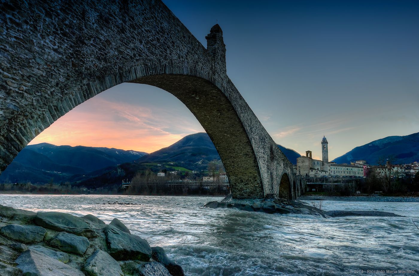
전망이 매우 아름답지만 어느 방향에서든 도착하기가 힘듭니다
0
0

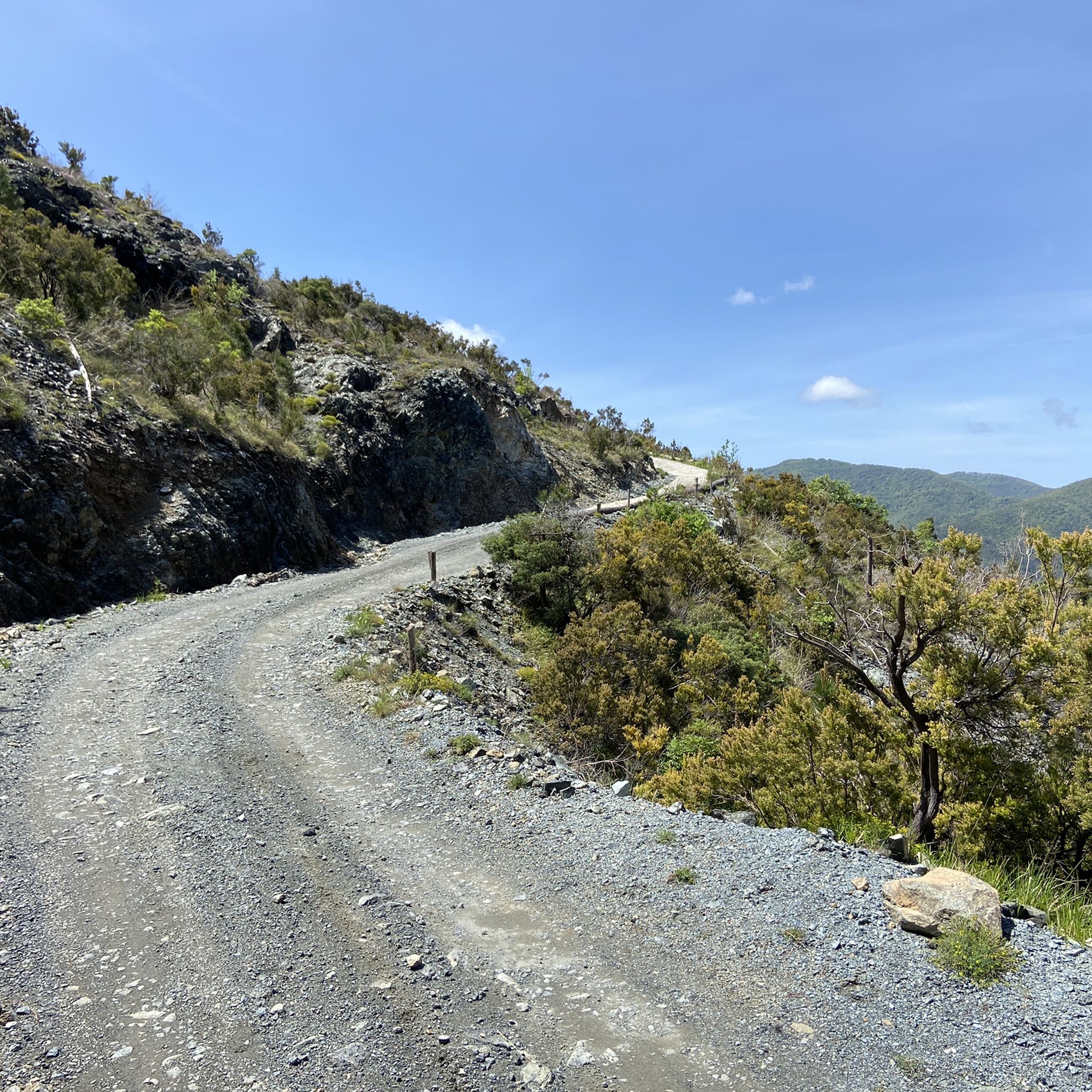
Lavagna와 Cavi 사이의 파노라마 도로는 언덕을 따라 해안 도로의 교통을 피하기에 이상적인 좁고 구불구불한 길입니다. 주요 특징 경로: 해안 도로의 교통을 피하기에 이상적인 좁고 구불구불한 길입니다. 활동: 도로 자전거 타기와 파노라마 산책에 매우 추천되는 구간입니다. 고도 변화: 약 50미터의 약간의 오르막과 40미터의 내리막이 있습니다.
0
0


Climbing from Cicagna (north side) and passing through the hamlet of Dezerega, the road is mostly paved, with sections reaching gradients of over 20%. You gain 500 meters of elevation gain in about 5 km. It's very shaded, and from the Crocetta Pass, Rapallo is just a short drive away.
0
0

Update September 2025: Fieschi Castle is temporarily closed for renovations
0
0

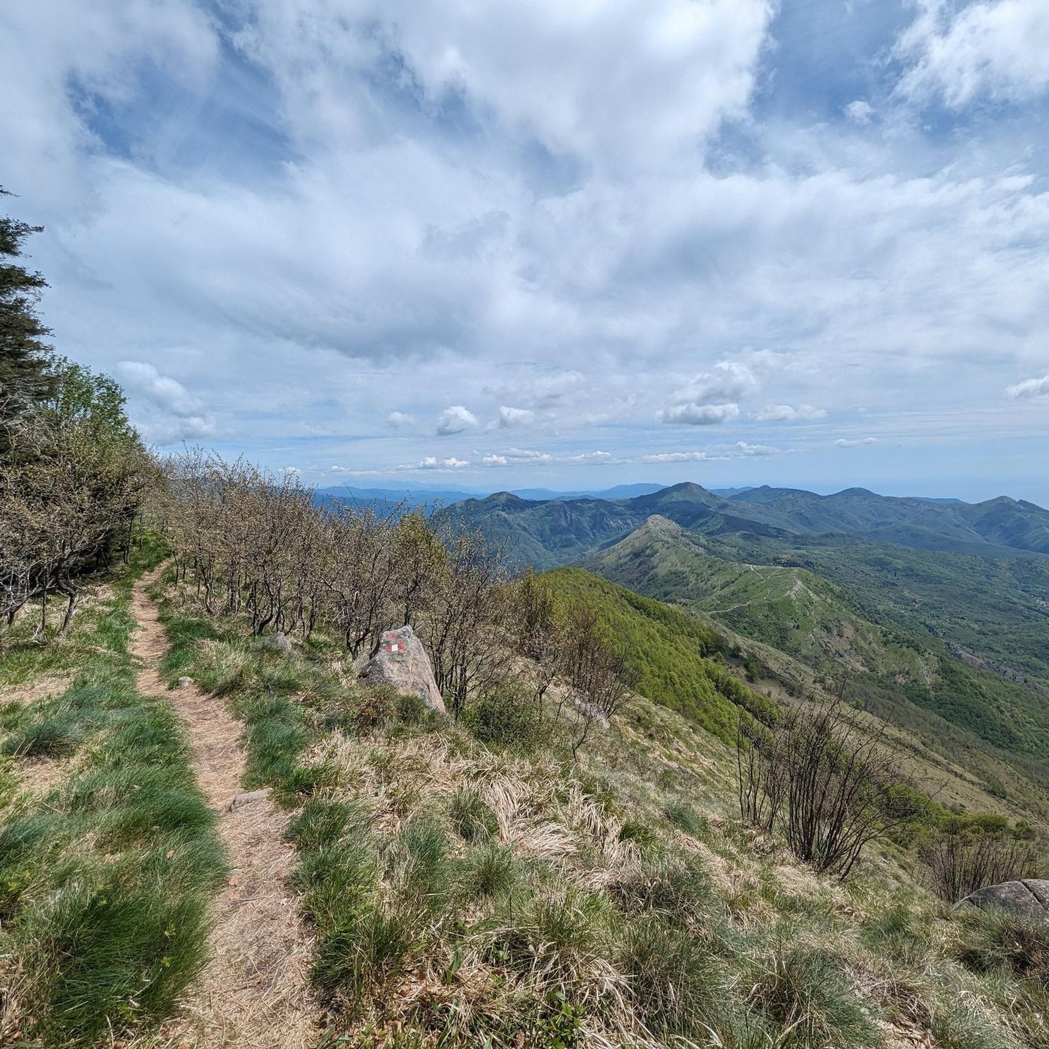
Situated at 956 meters between the Vara and Aveto Valleys, the Bocco Pass is one of the historic passes of the Ligurian Apennines, used since ancient times as a connection between the Tyrrhenian coast and the Po Valley hinterland. Already in Roman times, it was part of a secondary transit network, but it was especially in the Middle Ages and modern times that the pass assumed a central role in local traffic: a route for merchants, shepherds, and pilgrims, it connected Chiavari and the Riviera with Varese Ligure and the Emilian plains. Traces of the ancient paving are still visible today in the surrounding woods. During the Second World War, the area served as a refuge for partisan groups, thanks to its secluded location and dense forest cover. Today, the pass is a destination for cyclists and hikers, immersed in an unspoiled mountain landscape of beech and fir forests and highland meadows, at the gateway to the Aveto Regional Natural Park.
0
0


더 살펴보기
다른 지역의 최고의 로드 사이클링 경로를 살펴보세요.
