아오스타에서 가장 멋진 16개의 산 정상
아오스타의 산 정상에 오르면 이 지역의 아름다운 모습을 제대로 구경할 수 있어요. 다만, 16
곳이나 되는 산 정상 중에서 어떤 곳을 가야 할 지 고민된다는 게 문제죠. 아오스타에서 가장 멋진 산 정상을 살펴본 후에 마음에 드는 산 정상을 다음 모험 계획에 추가해보세요.
마지막 업데이트: 9월 13, 2026

이런 장소를 발견하려면 지금 가입하세요
최고의 싱글 트랙, 봉우리 및 다양한 흥미로운 야외 장소에 대한 추천을 받아보세요.
그랑 아르피예 트레일
하이라이트 • 트레일
번역자 Google •
팁에 의해

Col de Champillon
하이라이트 • 산악 고개
번역자 Google •
팁에 의해

몬테 에밀리우스 정상과 동상
하이라이트 • 정상
번역자 Google •
팁에 의해

무료로 가입하여 아오스타 주변의 더 많은 봉우리를 발견하세요.
이미 komoot 계정이 있나요?
오늘 무료 계정으로 시작하세요
다음 모험이 기다리고 있어요.
아오스타 주변 인기 장소

Cammino Balteo – castles, vineyards and trails of the Aosta Valley
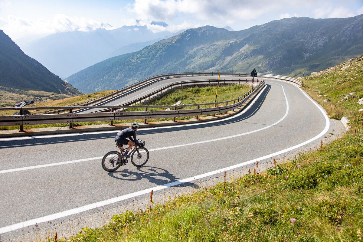
Road cycling in the Aosta Valley – major climbs and alpine routes

이탈리아 아오스타 계곡의 길, 성과 전망 - 카미노 발테오
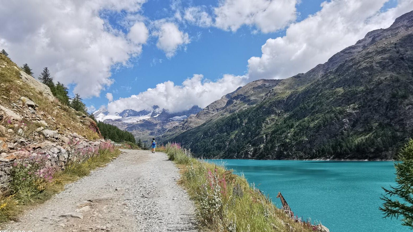
첫 번째 산악가의 자취를 따라 – 발펠리네 트레킹
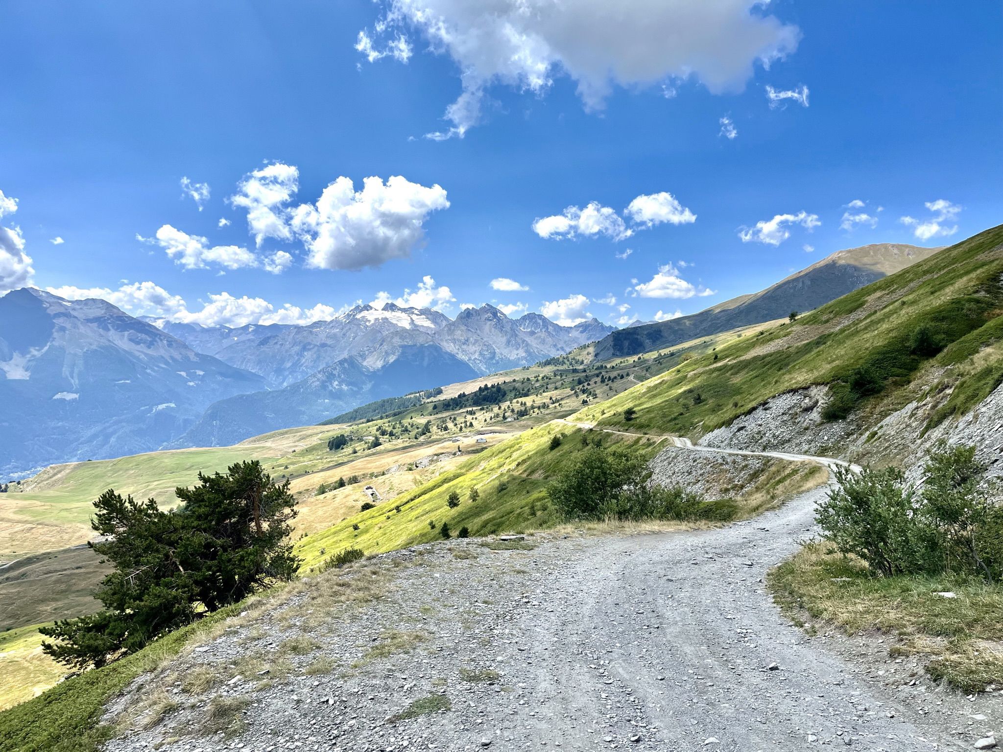
Mountain biking with a glacier backdrop – rides in Italy’s Aosta Valley
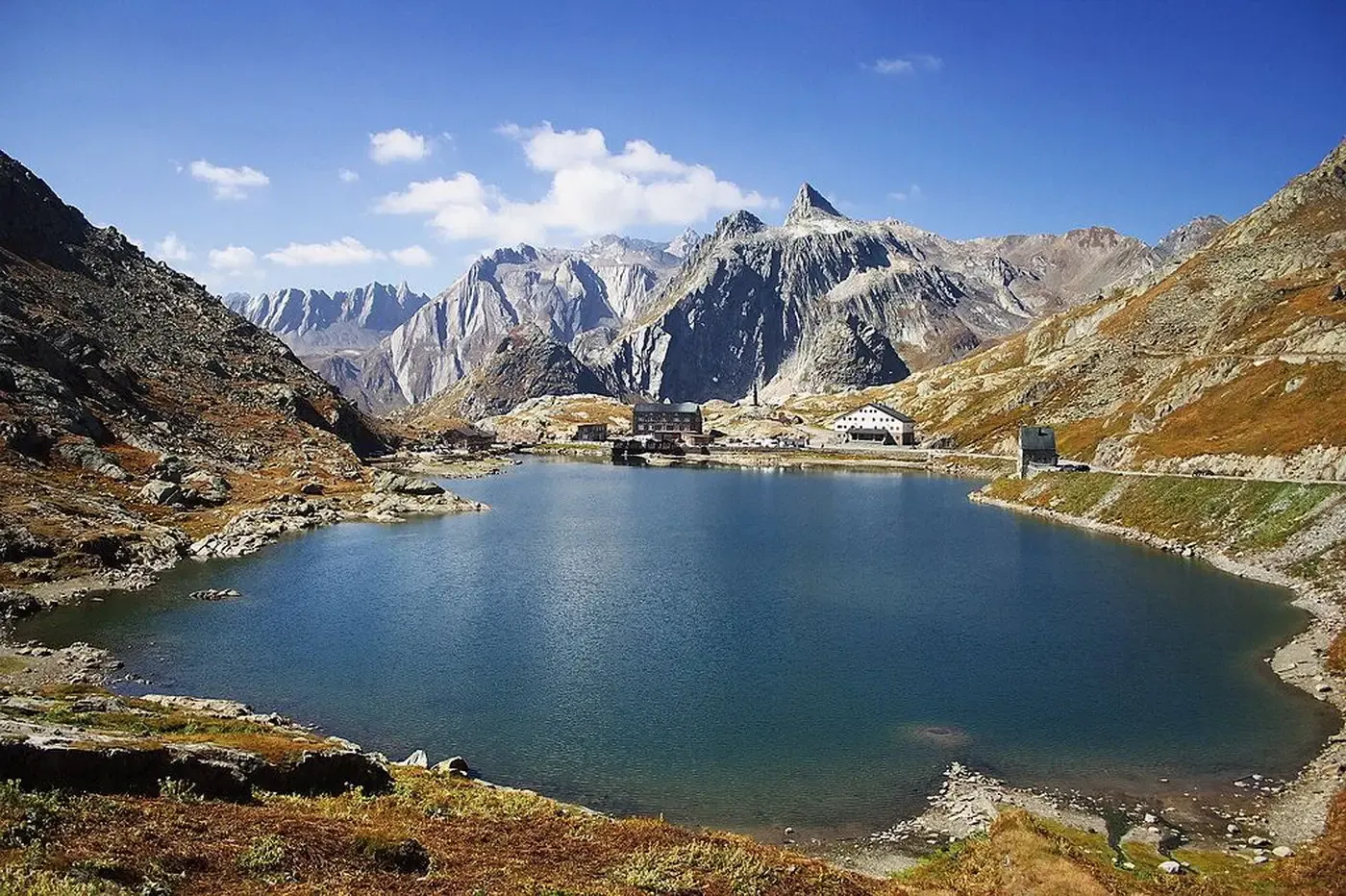
자전거 순례 - 이탈리아 프랑치제나로의 역사와 자연
자전거를 타고 매지컬한 투르 듀 몽블랑
아오스타 로드 사이클링 경로
아오스타 사이클링
아오스타 하이킹
아오스타 주변의 다른 모험


커뮤니티 팁

L'Alpe Grandes Arpilles는 Vétan 분지에 위치한 약 2090-2137미터 고도의 알프스 목초지입니다. 이곳은 현재 대부분 폐허가 된 오두막들의 집합체로, Punta Leysser와 Mont Fallère 기슭에 펼쳐진 넓은 목초지를 내려다보는 탁 트인 곳에 자리 잡고 있습니다. Chatelanaz에서 구불구불한 농로를 따라 올라가거나, Thoules에서 시냇물을 건넌 후 경사면을 직접 올라가면 도달할 수 있습니다. 이 목초지는 Rifugio Mont Fallère를 향해 산허리를 따라 계속되는 농로와의 교차점을 표시하며, 따라서 하이커, 스노슈어, 스키 투어리스트에게 자연스러운 교차로 역할을 합니다. 이곳의 나무 식생은 희박해지다가 사라지고, 겨울에는 광활한 눈 덮인 경사면으로 변하는 풀밭이 그 자리를 차지합니다. 전망은 넓고 탁 트여 있습니다. 남쪽으로는 Grivola와 Gran Paradiso의 봉우리들이 보이며, 맑은 날에는 몽블랑까지 보입니다.
0
0

Farm road to climb to the Mont Fellere Refuge
0
0

Very panoramic hill, reachable only with bike on your shoulder
0
0

A fantastic view, weather permitting: Mont Blanc, Grandes Jorasses, Matterhorn, Punta Rosa. The overview board tells you where each peak is located.
0
0

The Fallere with its statues is always beautiful
0
0

Nice, even driveway with enough distractions along the way! 🙂
0
0

Mount Emilius, m. 3,559 s.l.m., is a mountain of the Graian Alps located in the Aosta Valley. Before 1839, it was known as Pic de dix heures, Pic Chamosser or Pic Chamoisier, later the peak was therefore named in honor of the fourteen-year-old Émilie Argentier who climbed it that year.
4
0

From the Federigo camp, follow the green signs and start climbing up along a stony ground, keep to the left at the beginning (north side) and then reach the ridge where the via ferrata starts. The track starts amid some rocks on the left side of the ridge and reaches the top, where there is a protruding rocky turret, linked to the following peak by a spectacular Tibetan bridge. The via ferrata continues along a vertical rock track and reaches Mont Ross de Comboé (3,285 m), located at the western side of Monte Emilius. At the beginning, you will be fascinated by the imposing and dark north side of Monte Emilius, while now you will have the whole of Aosta Valley and its mountains in full view, in the pleasant sunlight: the Gran Paradiso chain and Grivola to the south, Rutor and the whole Mont Blanc massif to the west, Gran Combin and the Alpine ridge of Valpelline to the north and Matterhorn, the Swiss Alps and Monte Rosa to the east. This gorgeous landscape will follow you until you reach the top. The via ferrata continues along the ridge, going from west to east following a long, almost horizontal trail, up to a sign indicating a possible downslope to the right (south side). This downslope follows a trail, which is not always visible, and reaches Lago Gelato (2,955 m), along a comfortable track going down to the Arbolle refuge (normal route of Emilius). Such a downslope represents an alternative for anyone wishing to abandon the via ferrata which reaches Piccolo Monte Emilius (3,342 m) and goes up the rugged and steep ridge, which you can overcome on the right, by following some huge red and compact rocky steps. If you keep to the south side, you reach a gap where the rock is lighter in colour and slightly more friable. You will have to take some careful steps and continue up a rocky slope until you come to the side where the equipped route ends. From there, you will reach the top (3,559 m) in about ten minutes. On the way down, follow the clearly indicated path along the normal route (south ridge) leading to Colle dei tre Cappuccini (3,222 m), where you need to be careful along a short exposed track. Follow the signs and keep to the right, going down the Arbolle deep valley, past Lago Gelato, up to the Arbolle refuge and, from there, you will reach the arrival station of the Chamolé chair-lift, after walking up the small Col Chamolé (2,641 m) along a comfortable path. (https://pila.it/en/track/the-via-ferrata-of-monte-emilius/)
3
0
아오스타 주변에서 가장 인기 있는 명소


더 살펴보기
이 가이드를 통해 아오스타 주변의 더 놀라운 정상들을 확인해보세요:
