경로

플래너

기능

업데이트

App

로그인 또는 가입

앱 다운로드

로그인 또는 가입

경로
Places to see
Lakes
이탈리아
트렌티노

테세로

테세로‬에서 가장 멋진 ‪20‬개의 호수

테세로에서 가장 멋진 호수를 방문하고 싶나요? 호숫가의 고요한 분위기를 느끼거나 날씨가 따뜻한 날 호수에 발을 살짝 담글 수 있다면 얼마나 좋을까요? Komoot 커뮤니티가 추천한 테세로의 주요 호수를 아래에서 살펴보고, 다음 모험 때 직접 찾아가보세요!

마지막 업데이트: 7월 20, 2026

라고 디 카레차(카러제 호수)

하이라이트 • 호수

It is most beautiful when there is light sunshine and no wind. Then the Latemar massif is beautifully reflected in the emerald green, clear water of the lake.

번역자 Google •

에 의해

하이킹 보기

휴대폰으로 전송

저장

카레차 호수 전망

하이라이트 • 전망대

The small Lake Carezza, fed by underground springs from the Latemar massif, lies at around 1,500 m above sea level below the Carezza Pass. The protected natural monument is a …

번역자 Google •

에 의해

저장

이런 장소를 발견하려면 지금 가입하세요

최고의 싱글 트랙, 봉우리 및 다양한 흥미로운 야외 장소에 대한 추천을 받아보세요.

무료 회원 가입

라바체 고개

하이라이트 • 산악 고개

The Lavazè pass, located at an altitude of 1,808 metres, connects the Val di Fiemme, Trentino, with the Val d'Ega, Alto Adige. The Lavazè pass area is known for Nordic …

번역자 Google •

에 의해

저장

미터제 호수(라고 디 메초)

하이라이트 • 호수

“Where is a lake here?” - That's what many people will think if they only find a wet meadow here. Due to the strong karstification of the subsoil, the lake …

번역자 Google •

에 의해

저장

라바체 호수

하이라이트 • 호수

THE LAVAZÈ LAKE

Hydrogeological information

The lake is located in a depression formed during the last ice age, following the retreat of the moraine that descended from the slopes of …

번역자 Google •

에 의해

저장

무료로 가입하여 테세로 주변의 더 많은 호수를 발견하세요.

무료 회원 가입

이미 komoot 계정이 있나요?

오늘 무료 계정으로 시작하세요

다음 모험이 기다리고 있어요.

로그인 또는 가입하기

테세로 주변 인기 장소
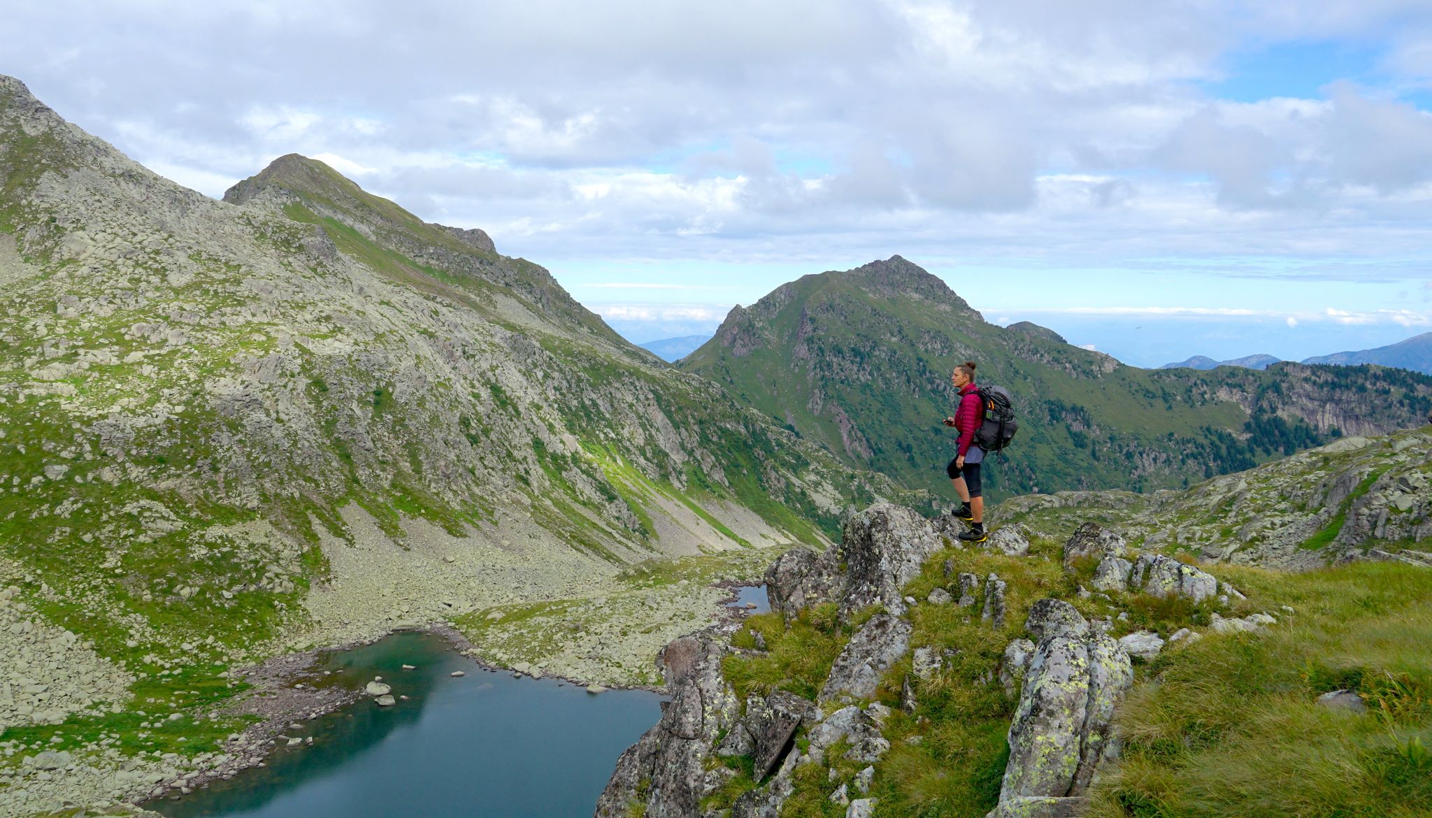
트렌티노의 야생의 심장을 가로지르는 꿈의 트레킹
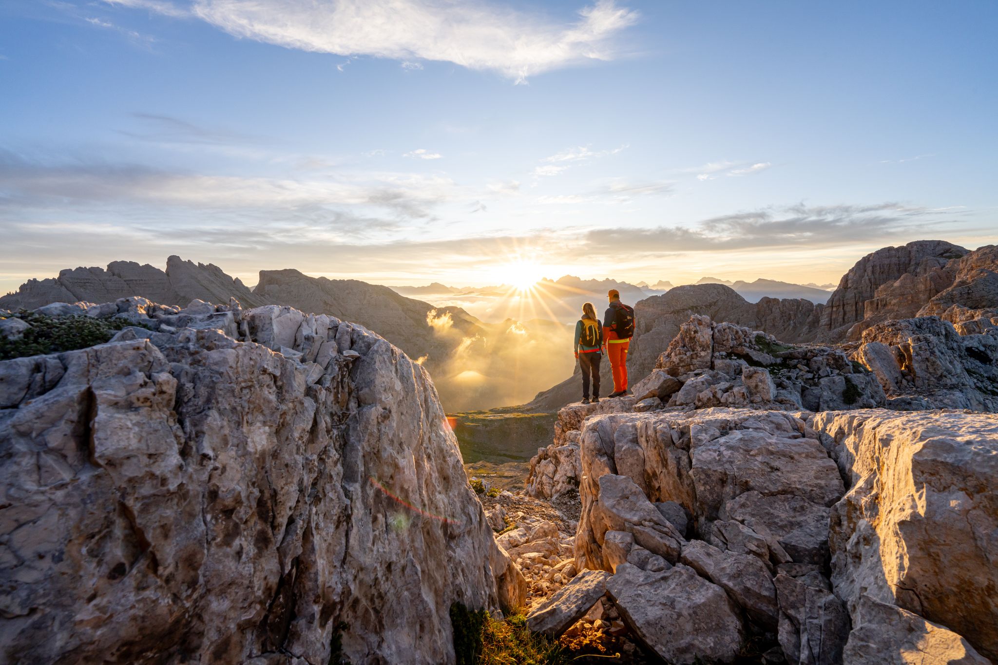
Dolomite Panoramas – 10 excursions in Val di Fiemme
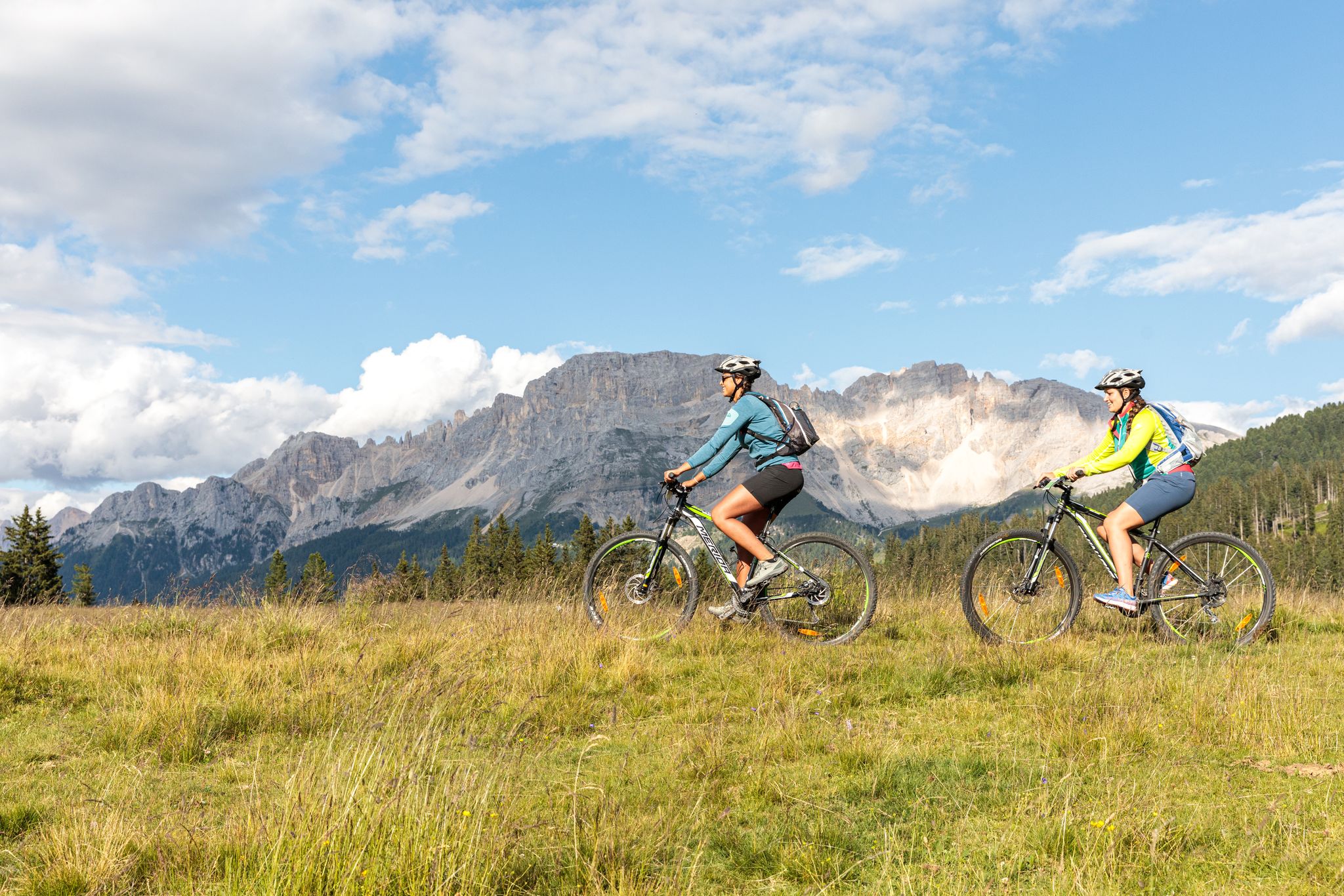
Explore the heart of the Dolomites – discover Val di Fiemme by MTB
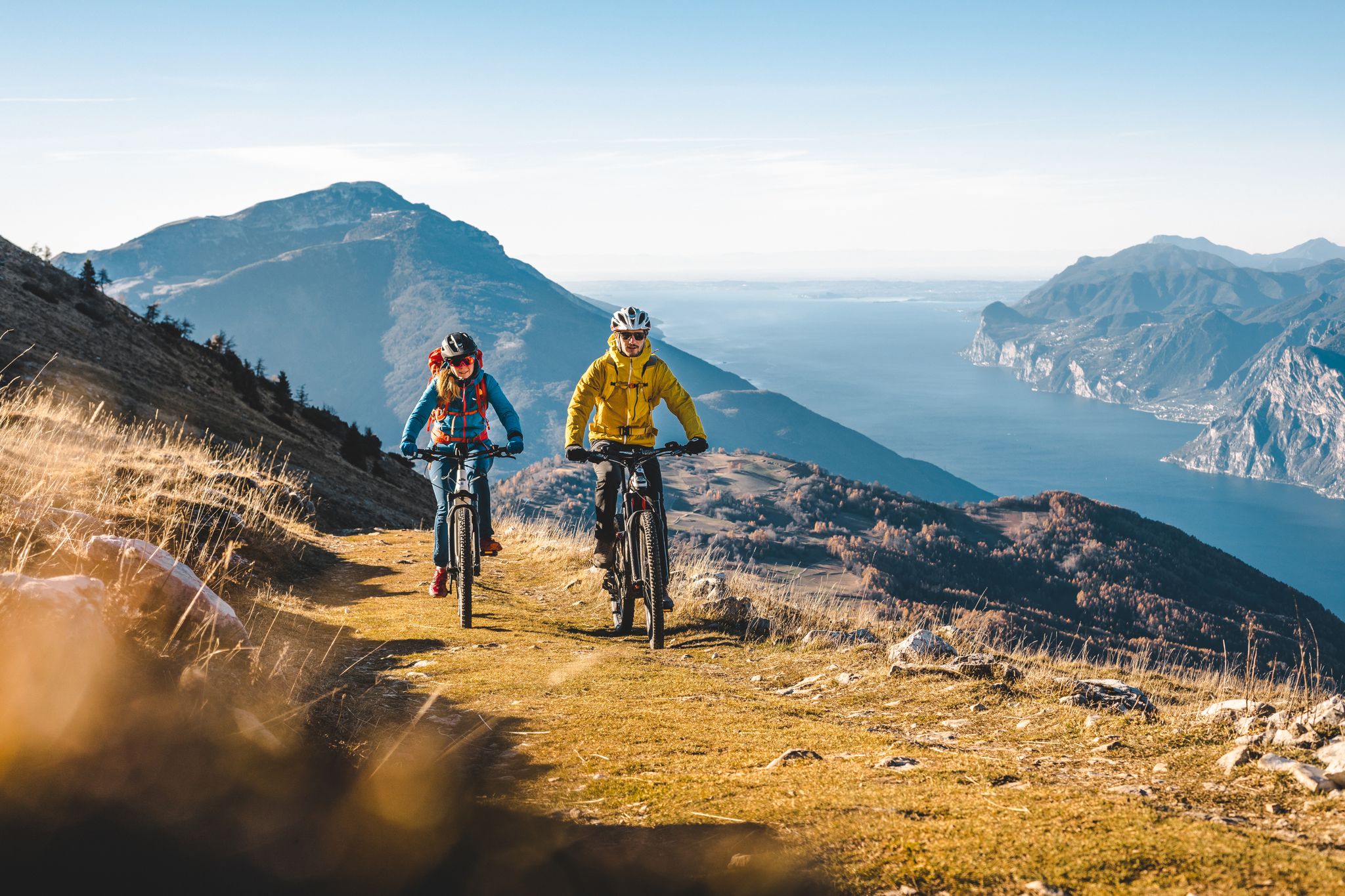
Mountain biking in Trentino in Italy – 10 varied routes
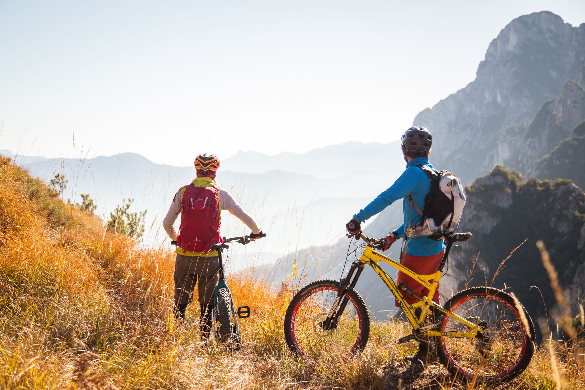
Fantastic autumnal cycling routes through Trentino – Italy’s MTB hotspot
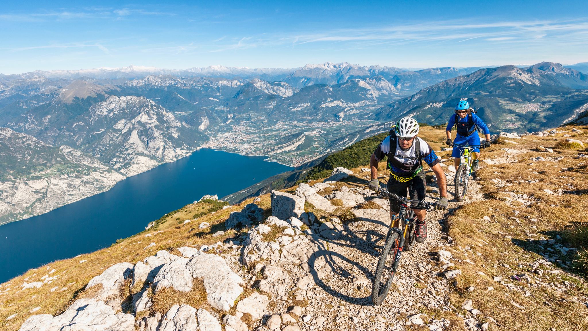
중지중해 자전거 알프스 고고대 투어
테세로 하이킹
테세로 사이클링

테세로 로드 사이클링 경로

테세로 MTB 트레일

테세로 주변의 다른 모험

트렌티노의 야생의 심장을 가로지르는 꿈의 트레킹

하이킹 컬렉션 에 의해

Visit Trentino

커뮤니티 팁

RyAn
9월 20, 2024, Lago di Lavazè

THE LAVAZÈ LAKE Hydrogeological information The lake is located in a depression formed during the last ice age, following the retreat of the moraine that descended from the slopes of the Pala de Santa (2488 m above sea level) and formed a large part of the Lavazè plateau, whose terrain is characterized by rugged moraines, sandy-silty alluvial deposits, porphyries and groundwater debris. The hill that contains the lake on the south-west side is also composed of morainic debris to a depth of about 10 meters, as are the sides to the north and east. On the south side, however, the porphyries of volcanic origin stand out, which form the substrate of the lake and, under the morainic debris, form its actual impermeable bed. (Text from the exhibitor) The basin of Lake Lavazè is located at an altitude of 1804.2 m above sea level, contains a volume of about 26,000 m3 of water and occupies an area of about 26,000 m².

번역: Google

1

0

Unfortunately, Lake Carezza is always very busy. But you can park easily here and start many different hikes from here.

번역: Google

3

0

The 1808m high Passo di Lavazè offers the opportunity for easy hikes. There is a short circular route around the lake, right at the pass, from where you can enjoy a beautiful view of the nearby and mighty Latemaar mountain rocks.

번역: Google

1

0

Located south of the Seiser Alm – the largest high alpine pasture in Europe – the Rosengarten and Latemar region is a popular holiday destination for guests from near and far.

번역: Google

2

0

If you park at the paid parking lot by the lake, you pay €4 for 2 hours. The tunnel takes you to the lake and the toilets 😉

번역: Google

3

0

Great destination, but you can't expect peace and quiet here. The lake is very busy.

번역: Google

3

0

Unfortunately, the lake is being heavily marketed. Coaches and 2 large parking spaces ensure mass tourism. The souvenir shop, toilet and underpass are made of solid reinforced concrete. Doesn't fit with the natural idyll. 👎 Too bad. The lake, the trees and the beautiful mountains are great.

번역: Google

4

0

The Lavazè pass, at an altitude of 1,807 metres, connects the Fiemme valley in Trentino with the Ega valley in Alto Adige. This area is renowned for Nordic skiing, with around 80 meters of trails dedicated to cross-country skiing. The lake is calm and the views are fantastic. For running, the pass offers easy, well-maintained trails. Even if it gets crowded, there are many routes available and as you get further away, you will find fewer people. You have several options of routes, both flat and uphill.

번역: Google

2

0

테세로 주변에서 가장 인기 있는 경로

테세로 하이킹

테세로 주변에서 가장 인기 있는 명소

Places to see

Store rating

komoot 모바일 앱으로 영감을 받아보세요

무료 komoot 계정로 끝없는 야외 모험을 손쉽게 찾고, 맞춤 설정하며 길안내할 수 있어요.

또는

지금 komoot에 가입하세요

Store rating

더 살펴보기

테세로 주변에서 완벽한 호수를 아직 못 찾으셨나요? 이 지역의 가이드를 확인하여 더 아름다운 장소를 찾아보세요.

리바 델 가르다레드로트레빌나고 토르볼레몰베노스테니코텐노빌 다노니아아르코핀졸로메자나펠리자노오사나카리솔로주스티노마드루초론조-키에니스버밀리오피에베 디 보노 프레조코메자두라안달로산 로렌조 도르시노트렌토발레라기블레지오 수페리어브렌토니코디마로 폴가리다모리치베짜노드레나페이오드로가르니가 테르메폰도스포르마조레코마노 테르메산토르솔라 테르메페르진 발수가나론체뇨 테르메피아베아비오파이 델라 파가넬라프라실롱고비뇰라-팔레시나카베딘빌라 라가리나Parco naturale provinciale dell' Adamello Brenta바젤가 디 피네랍비카베다고카데르존 테르메라비스레비코 테르메사르노니코말로스코루프레 멘돌라카바레노프레다이아잠바나시모네론존라바로네폴가리아암블라 돈남성노발레도알토피아노 델라 비골라나베세넬로캄피텔로 디 파사로메노네이브 산 로코스포미노어테나칼도나조칼세라니카 알 라고이세라아디제피에로초보르고 라레스보르고 발수가나클로즈스푸르즈포르나스티오네 디 트렌토몰베노 호수스토로모에나소라가프레다조셀라 주디카리에보르고 치즈클레스브레시모알타발레카스텔폰도마진담벨카스텔로 테시노운하 산 보보루모스피아초베돌로포마롤로루세나브레즈칼리아노포짜 디 파사캄포덴노마시메노켐브라 리지나고카나제이텔베로베레토세곤자노소버스트렘보지오보카스텔로-몰리나 디 피엠로나-라세스발다온페이도비고 디 파사레드로 호수알비아노발플로리아나팔루 델 페르시나바레나프리미에로 산 마르티노 디 카스트로차카프리아나이머토르체뇨카라노지아노 디 핌메다이아노판키아산제노본돈카발레즈알라신테 테시노레보그리뇨메자노레비코 호수몬테 브리오네로베레 델라 루나사그론 미스콘타Rete Di Riserve Alpi Ledrensi피에베 테시노스쿠렐메졸롬바르도노가레도칼데스알데노발라사카스텔 콘디노텔베 디 소프라덴노산 미셸 올아디제메조코로나테르졸라스Parco naturale Paneveggio - Pale di San Martino카스텔 이바노로말로크로비아나비에노트람빌레노사모네리보론키 발수가나시스포르테 디 렌데나카비자나카르자노토블리노 호수카뇨테라뇰로펠루고칼도나초 호수카베딘 호수볼라노텐노 호수노미보체나고카스텔누오보

근처 어드벤처 가이드

판키아 즐길거리

background

새로운 정복을 위한 준비를 하세요

무료로 가입하기

탐험하기
경로경로 플래너기능하이킹MTB 트레일로드 사이클링 경로바이크패킹사이트맵
앱 다운로드
소셜 미디어에서 팔로우하기

© komoot GmbH

개인 정보 보호 정책