경로

플래너

기능

업데이트

App

로그인 또는 가입

앱 다운로드

로그인 또는 가입

로그인 또는 가입

경로
Places to see
이탈리아
사르데냐
누오로

오보다다

18의 오보다다가지 명소 & 주요 장소


오보다다에는 둘러볼 만한 장소가 많답니다. 하이킹 또는 사이클링을 좋아한다면 오보다다에 숨겨진 18
가지 보석을 만날 수 있을 거예요. 이 지역의 주요 명소를 살펴보면서 다음 모험을 계획해보세요.

마지막 업데이트: 5월 27, 2026

브룬쿠 스피나 산

하이라이트 • 정상

This is not the highest peak in the area yet, but the views are great

번역자 Google •

에 의해

하이킹 보기

휴대폰으로 전송

저장

리푸지오 사 크리스타

하이라이트 • 산장

Abandoned Refugio at about 1500 meters. Offers a nice view and parking.
Good starting point to climb the Punta La Marmora, the highest mountain in Sardinia.

번역자 Google •

에 의해

저장

이런 장소를 발견하려면 지금 가입하세요

최고의 싱글 트랙, 봉우리 및 다양한 흥미로운 야외 장소에 대한 추천을 받아보세요.

무료 회원 가입

누라게 로

하이라이트 • 역사적 장소

Beautiful nuraghe 5 minutes from the town of Sorgono (considered the center of Sardinia). Worth a visit, impressive. Furthermore, within a few hundred meters we have another nuraghe (Bardacolo), a …

번역자 Google •

에 의해

저장

폰니 마을

하이라이트 • 정착지

"Fonni, with its sliver houses and its stone paths, defies the winds and lightning". This is how Grazia Deledda described this small village which, located at 1,000 meters above sea level, is the highest in Sardinia.

번역자 Google •

에 의해

저장

The Cooperativa Agricola Cantina del Mandrolisai, founded in 1950 in Sorgono, is located in the heart of Sardinia, in a hilly and granite area ideal for viticulture. The structure, built …

번역자 Google •

에 의해

저장

무료로 가입하여 오보다다 주변의 더 많은 명소를 발견하세요.

무료 회원 가입

이미 komoot 계정이 있나요?

오늘 무료 계정으로 시작하세요

다음 모험이 기다리고 있어요.
로그인 또는 가입하기

오보다다 주변 인기 장소

오보다다 하이킹

오보다다 로드 사이클링 경로

오보다다 MTB 트레일

오보다다 러닝 트레일

오보다다 사이클링

커뮤니티 팁

DINAclub by Repower
7월 8, 2025, Cantina del Mandrolisai - DINAclub e-Bike Charging Station

The Cooperativa Agricola Cantina del Mandrolisai, founded in 1950 in Sorgono, is located in the heart of Sardinia, in a hilly and granite area ideal for viticulture. The structure, built in local stone, still houses the original concrete tanks, where the renowned DOC Mandrolisai wines are produced, born from native vines such as Bovale Sardo, Cannonau and Monica. The winery offers tastings and guided tours by reservation, offering an authentic immersion in the landscape and wine culture of central Sardinia. The Sorgono area is also perfect for cycling tourism: immersed in woods, vineyards and old mule tracks, it is crossed by the suggestive historic Mandas–Sorgono railway, ideal for those looking for slow and panoramic routes. The Cooperativa Agricola Cantina del Mandrolisai is also the ideal place to recharge your e-Bike and earn DINAclub points. Find out how on https://dinaclub.repower.com/ To discover the territory, an itinerary ready to pedal: https://www.komoot.com/it-it/tour/2387789044?share_token=acwdjTFFnVuHPlosRLiBGGdrxGEJOZ065nwnyU35OSDcQVv9Rq&ref=wtd

번역: Google

0

0

Abandoned building, lots of broken glass

번역: Google

0

0

"Fonni, with its sliver houses and its stone paths, defies the winds and lightning". This is how Grazia Deledda described this small village which, located at 1,000 meters above sea level, is the highest in Sardinia.

번역: Google

1

0

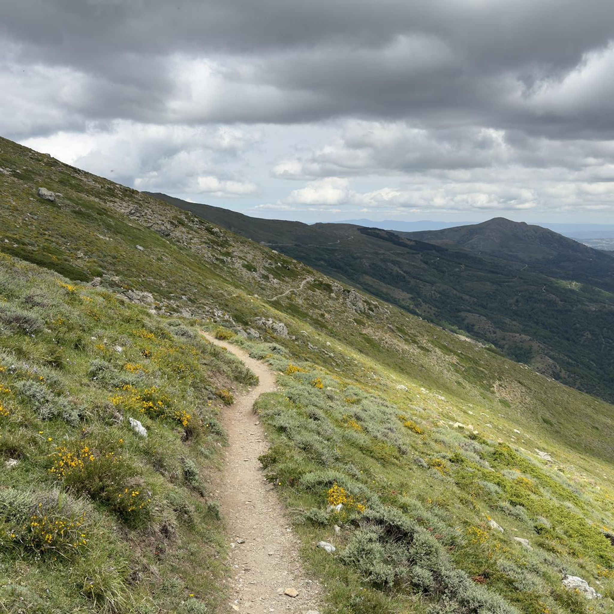
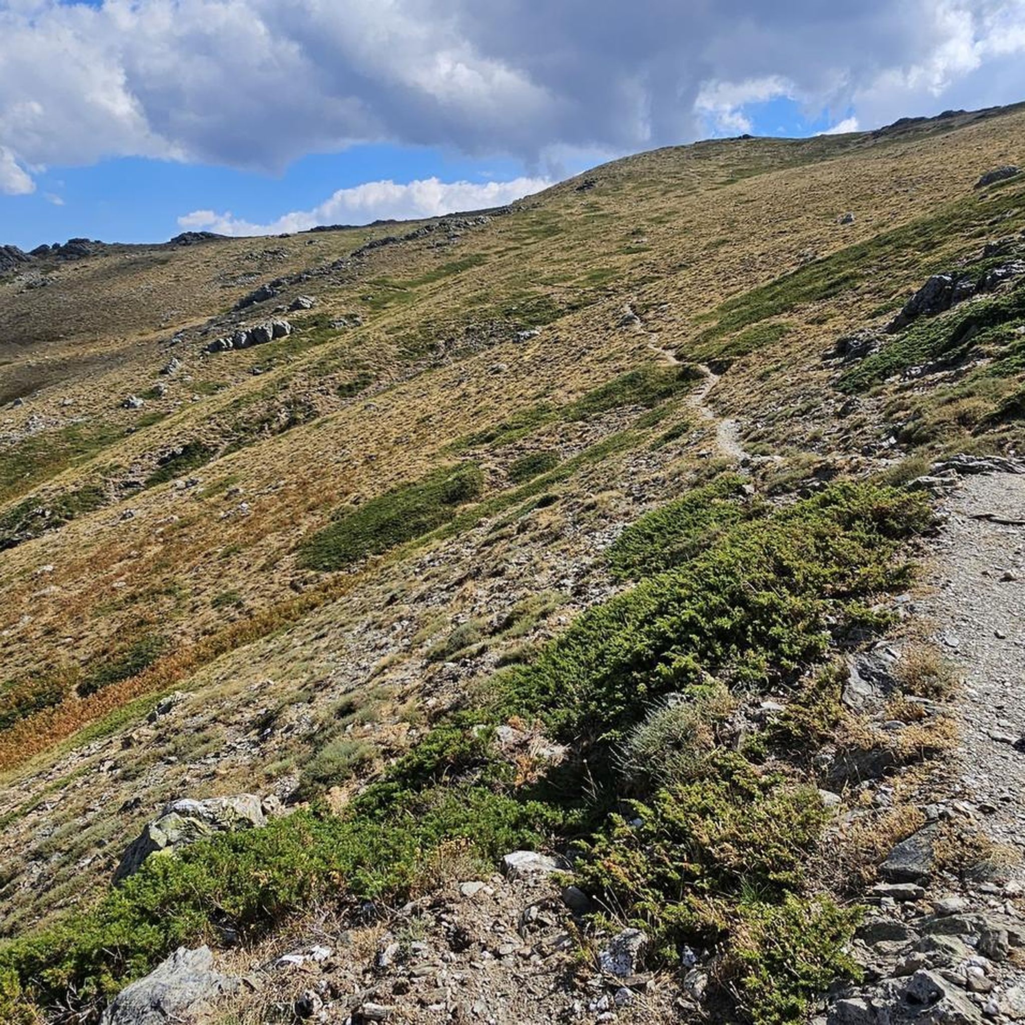
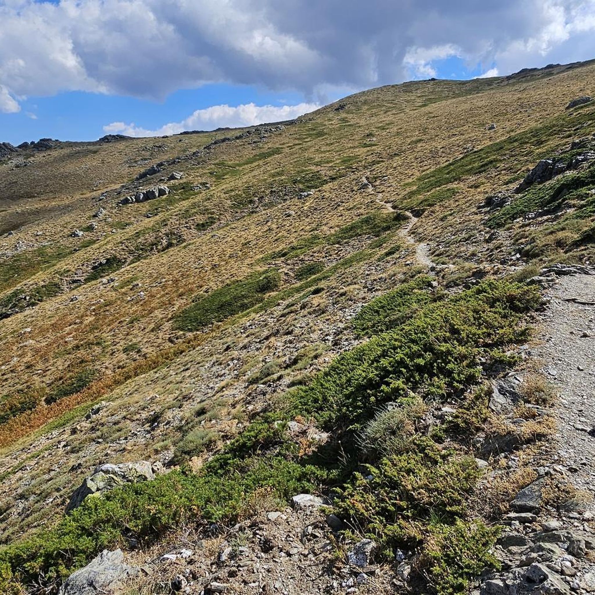
Mount Bruncu Spina (Cardo peak), with its 1,829 meters above sea level, is the second peak in Sardinia. The summit can be easily reached from the car park at the foot of the chairlift, near the refuge of the same name (now closed). The climb is steep but short. It's worth the effort to enjoy the views from this grassy summit.

번역: Google

2

0

Bruncu Spina, with its 1,829 metres, is the second highest peak in Sardinia after Punta La Marmora which reaches 1,834 metres. The view from here is stunning. Getting to the top is mostly on non-technical terrain that you can run on without any problems.

번역: Google

1

0

We did the tour in July. Although it was over 30°C on the coast, the temperature was a pleasant 24°C due to the altitude. You'll be rewarded for your effort when you get to the top.

번역: Google

1

0

At 1000 m above sea level, on the slopes of Gennargentu, it is the highest municipality in Sardinia!

번역: Google

1

1

A refuge that appears to be abandoned. However, it offers a convenient area to park and the view from here is not bad.

번역: Google

1

0

오보다다 주변에서 가장 인기 있는 경로

오보다다 하이킹

오보다다 주변에서 가장 인기 있는 명소

Natural Monuments

Store rating

komoot 모바일 앱으로 영감을 받아보세요

무료 komoot 계정로 끝없는 야외 모험을 손쉽게 찾고, 맞춤 설정하며 길안내할 수 있어요.

또는

지금 komoot에 가입하세요

Store rating

더 살펴보기

찾고 있는 하이라이트를 아직 못 찾으셨나요? 다른 지역의 주요 명소 가이드를 확인해보세요:

제나르젠투 국립공원오르툴레/우르줄레이두르갈리/도갈리바우네이울리아나/올리에나Supramonte Di Oliena, Orgosolo E Urzulei - Su Sercone오르고솔로/오르고솔로가이루/가이로카르데두라누세이/라누세이오시니/오시니Cantiere Forestale Biderosa오로세이Thiniscole/Siniscola탈라나Jersu/Jerzu토르페오니아이/오니파이로세리이르골리트리에이비다만나 이스트리사일리/빌라그란데 스트리사일리바리/바리 사르도테르테니아신디아/신디아광맥파사다/포사다가르테디/갈텔리온네/포니Ussassa/Ussassai로조라이젤리술리/지라솔오르타나/아르자나누고로/누오로엘리니Monti Del Gennargentu이르보누/일보노로쿨라/로쿨리울라사/울라사이아리츠/아리조루불라/룰라토르톨리마무자다/마모이아다데술루/데술로Monte Albo오란/오라니오룬비찌/비티오나니에/오나니토나라가도니가보이티아나/티아나마쿠미어/마코머보로레/보로레로딘미나/미나 사르도포게수/페르다스데포구올롤라이/올롤라이사룰오르투에리보르티갈리/보르티갈리볼로타나/볼로타나레이브레비/벨비소르고노/소르고노앗자라실라노스/실라누스테티뒤아르슈/듀얼키비로로/비로리오르짜이/올자이오스티스노라구메오타나/오타나오로테디/오로텔리오시다/오시다스타그노 롱구 디 포사다오니에리/오니에리스타뇨 사 쿠르쿠리카Area Di Protezione Botanica E RimboschimentoMonte Ortobene

근처 어드벤처 가이드

티아나/티아나 즐길거리

background

새로운 정복을 위한 준비를 하세요

무료로 가입하기

탐험하기
경로경로 플래너기능하이킹MTB 트레일로드 사이클링 경로바이크패킹사이트맵
앱 다운로드
소셜 미디어에서 팔로우하기

© komoot GmbH

개인 정보 보호 정책