경로

플래너

기능

업데이트

App

로그인 또는 가입

앱 다운로드

로그인 또는 가입

경로
Places to see
이탈리아
사르데냐
누오로

토나라

20의 토나라가지 명소 & 주요 장소


토나라에는 둘러볼 만한 장소가 많답니다. 하이킹 또는 사이클링을 좋아한다면 토나라에 숨겨진 20
가지 보석을 만날 수 있을 거예요. 이 지역의 주요 명소를 살펴보면서 다음 모험을 계획해보세요.

마지막 업데이트: 6월 23, 2026

푼타 라 마르모라 정상

하이라이트 • 정상

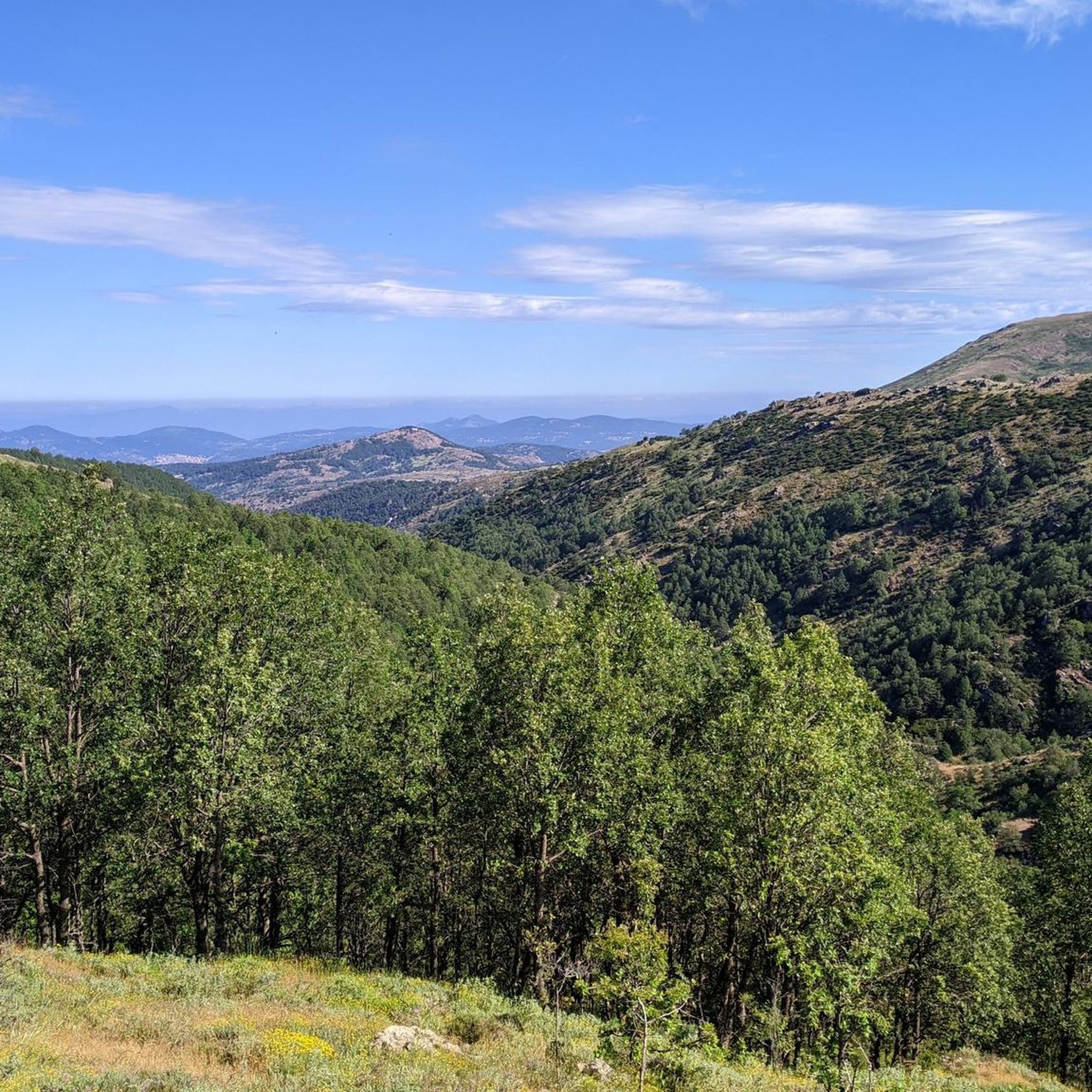
Imagine standing on the highest point in Sardinia, Punta La Marmora, and your gaze sweeps over the entire island. On a clear day you can even see the silhouettes of …

번역자 Google •

에 의해

하이킹 보기

휴대폰으로 전송

저장

The cross of Punta La Marmora, Punta della Croce, is not exactly the highest point, as it is mistakenly believed. In fact, it is actually a little further along the …

번역자 Google •

에 의해

저장

이런 장소를 발견하려면 지금 가입하세요

최고의 싱글 트랙, 봉우리 및 다양한 흥미로운 야외 장소에 대한 추천을 받아보세요.

무료 회원 가입

푼타 파울리누

하이라이트 • 정상

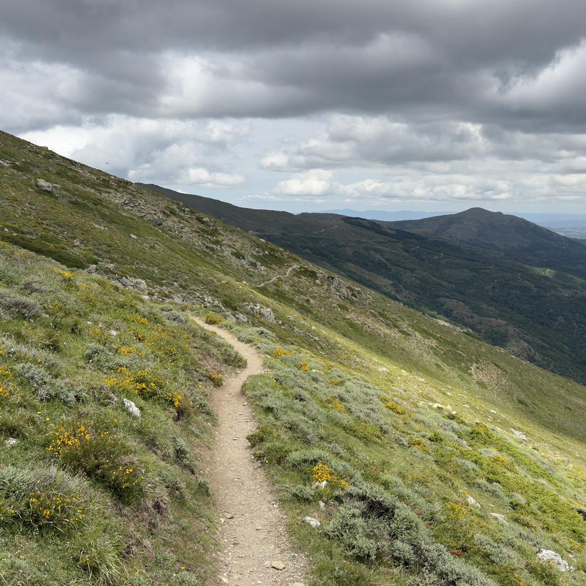
Punta Paulinu belongs to the Gennargentu mountain range. It is part of the main mountain ridge, made up of the five highest peaks on the island (Punta La Marmora, Bruncu …

번역자 Google •

에 의해

저장

브룬쿠 스피나 산

하이라이트 • 정상

This is not the highest peak in the area yet, but the views are great

번역자 Google •

에 의해

저장

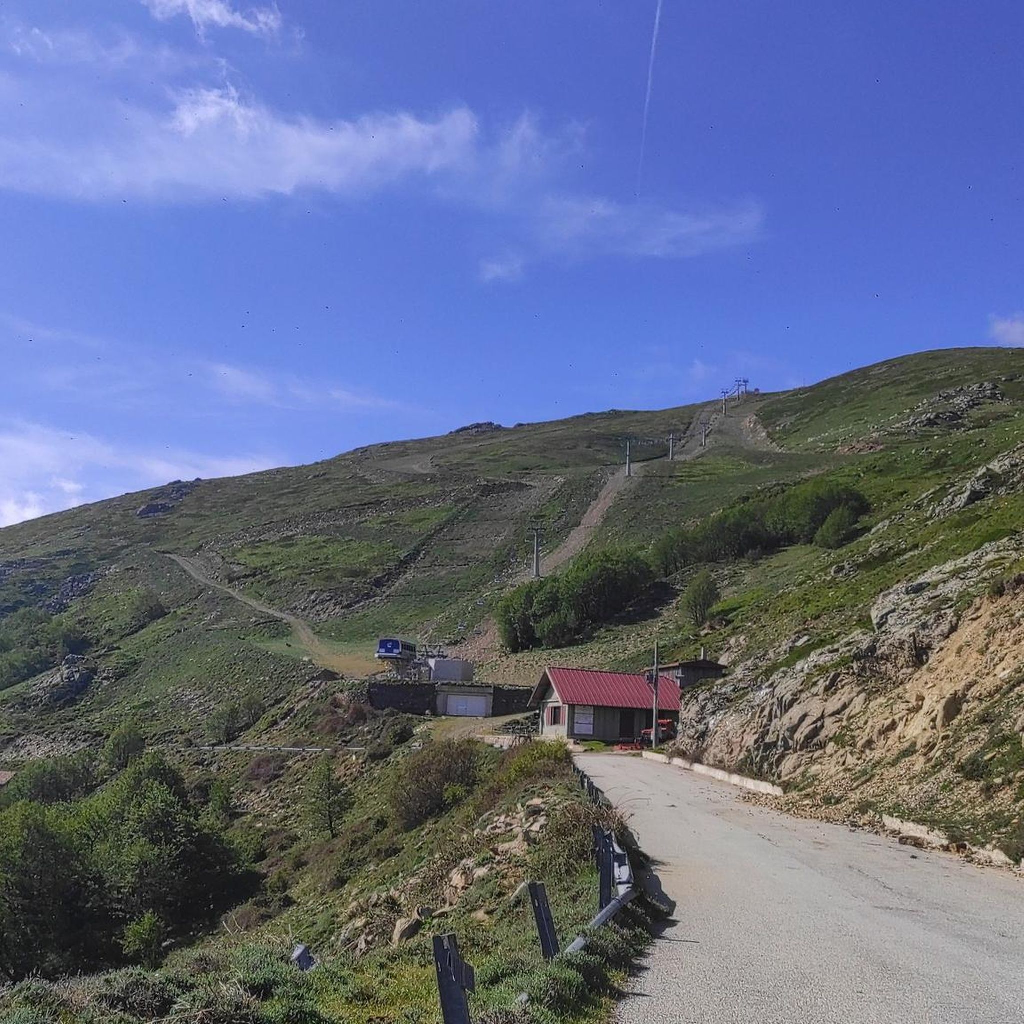
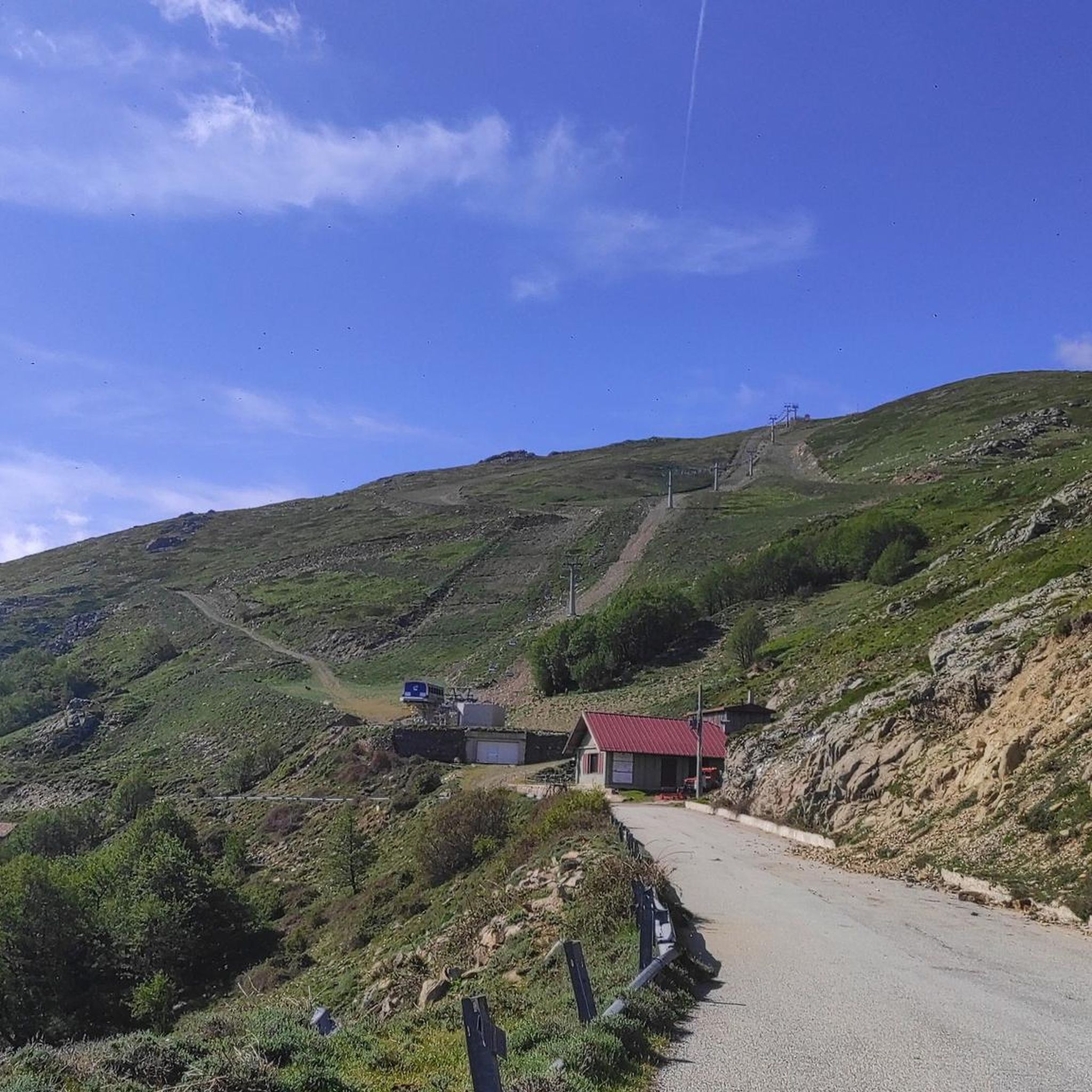
전망이 좋은 피크닉 공간

하이라이트 • 휴식 공간

A few meters from the road, with table and benches under trees

번역자 Google •

에 의해

저장

무료로 가입하여 토나라 주변의 더 많은 명소를 발견하세요.

무료 회원 가입

이미 komoot 계정이 있나요?

오늘 무료 계정으로 시작하세요

다음 모험이 기다리고 있어요.
로그인 또는 가입하기

토나라 주변 인기 장소

토나라 로드 사이클링 경로

토나라 MTB 트레일

토나라 하이킹

토나라 러닝 트레일

토나라 사이클링

커뮤니티 팁

Stefan L.
9월 6, 2025, Punta Paulinu

Great view. Beautiful area.

번역: Google

0

0

Great view. Beautiful area.

번역: Google

0

0

It may not be obvious that Sardinia's highest mountain is crowned by an imposing summit cross, but it seems completely natural to the mountain hiker. A base made of natural stone from the surrounding area forms the lower level of this small sacred monument. A round column bears the Latin inscription "Ave Crux spes unica" (loosely translated "Hail [Holy] Cross, [our] only hope") and continues further up - almost seamlessly - into the longitudinal beam of the cross. Like many other summit crosses, it is comparatively simple in its design and has no corpus, but is certainly dignified.

번역: Google

2

0

With an all-mountain mountain bike you can do almost everything on the bike, both uphill and downhill

번역: Google

1

0

Treasure chest with everything possible and a summit book.

번역: Google

0

0

Imagine standing on the highest point in Sardinia, Punta La Marmora, and your gaze sweeps over the entire island. On a clear day you can even see the silhouettes of Corsica on the horizon. You can put this experience into practice by hiking to the summit of this 1,834 meter high elevation. Ideally, start your tour in the parking area at Rifugio Sa Crista or Rifugio S’Arena near Desulo. The route is not short at 15.5 kilometers, but it rewards you with an incredible variety of landscapes. Within a walking time of three and a half to four and a half hours, you will cross picturesque forests, pass flowering meadows and hike across impressive boulder and craggy terrain. Among other things, it goes over the summits of Bruncu Spina and Punta Paulinu. As you climb from Bruncu Spina towards Punta La Marmora, a huge summit cross might lead you astray. But don't be fooled, because the true summit is only reached when you reach the small rock pyramid that marks the top of La Marmora. The peak itself was named after the general and scientist Alberto Ferrero della Marmora, who described Sardinia in detail in his works. His love for the island will become clear to you at the summit when you enjoy the breathtaking view. You should be well prepared for this hike. This means: Sturdy hiking boots, enough water and sun protection should be in your luggage. If you need refreshment in between, you can stop off in the towns of Desulo or Fonni. The months from June to September are ideal for the tour. But Punta La Marmora is actually a year-round hiking destination for everyone who is looking for something special. Ready for this adventure? Then lace up your hiking boots and experience Sardinia at its best!

번역: Google

5

2

Climbing to Punta La Marmora from Bruncu Spina you first reach the pre-summit, which is misleading with its enormous summit cross. To reach the highest peak in Sardinia, you need to continue further south until you reach a small rock pyramid. This marks La Marmora's peak share of 1,833.

번역: Google

3

2

BeCycling
9월 12, 2023, Punta Paulinu

If you reach Punta Paulinu from Mount Bruncu Spina by walking on the high path, as you approach the rocky peak you can see on the left (towards the south-east) the famous rock formation called "Arcu Gennargentu", which is a set of three rocks that it forms a natural arch overlooking Mount Bruncu Spina on one side and the Sardinian panorama to the east.

번역: Google

2

2

토나라 주변에서 가장 인기 있는 경로

토나라 로드 사이클링 경로

토나라 주변에서 가장 인기 있는 명소

Natural Monuments

Store rating

komoot 모바일 앱으로 영감을 받아보세요

무료 komoot 계정로 끝없는 야외 모험을 손쉽게 찾고, 맞춤 설정하며 길안내할 수 있어요.

또는

지금 komoot에 가입하세요

Store rating

더 살펴보기

찾고 있는 하이라이트를 아직 못 찾으셨나요? 다른 지역의 주요 명소 가이드를 확인해보세요:

제나르젠투 국립공원두르갈리/도갈리오르툴레/우르줄레이바우네이Supramonte Di Oliena, Orgosolo E Urzulei - Su Sercone울리아나/올리에나오르고솔로/오르고솔로카르데두가이루/가이로탈라나라누세이/라누세이오시니/오시니오로세이Thiniscole/Siniscola토르페로세리비다만나 이스트리사일리/빌라그란데 스트리사일리Jersu/Jerzu오니아이/오니파이이르골리트리에이테르테니아바리/바리 사르도광맥신디아/신디아파사다/포사다온네/포니Cantiere Forestale Biderosa가르테디/갈텔리이르보누/일보노Ussassa/Ussassai젤리술리/지라솔누고로/누오로엘리니오르타나/아르자나로쿨라/로쿨리울라사/울라사이토르톨리Monti Del Gennargentu루불라/룰라로조라이아리츠/아리조Monte Albo오란/오라니오룬마무자다/마모이아다비찌/비티데술루/데술로오나니에/오나니가도니티아나/티아나가보이보로레/보로레마쿠미어/마코머미나/미나 사르도포게수/페르다스데포구오보다다로딘올롤라이/올롤라이보르티갈리/보르티갈리사룰브레비/벨비앗자라오르투에리볼로타나/볼로타나소르고노/소르고노레이실라노스/실라누스테티뒤아르슈/듀얼키오르짜이/올자이비로로/비로리오스티스노라구메오로테디/오로텔리오타나/오타나오시다/오시다스타그노 롱구 디 포사다오니에리/오니에리스타뇨 사 쿠르쿠리카Area Di Protezione Botanica E RimboschimentoMonte Ortobene

근처 어드벤처 가이드

티아나/티아나 즐길거리

background

새로운 정복을 위한 준비를 하세요

무료로 가입하기

탐험하기
경로경로 플래너기능하이킹MTB 트레일로드 사이클링 경로바이크패킹사이트맵
앱 다운로드
소셜 미디어에서 팔로우하기

© komoot GmbH

개인 정보 보호 정책