모로 레티노 최고의 라이딩 경로
4.8
(61)
730
자전거 타는 사람
20
라이딩
모로 레티노의 로드 사이클링 경로를 찾으시나요? 그렇다면 모로 레티노 로드 라이딩 컬렉션 중에서 가장 멋진 라이딩 장소를 아래에서 살펴보세요.
마지막 업데이트: 10월 11, 2026
2
자전거 타는 사람
136km
06:40
1,960m
1,960m
This difficult 84.3-mile road cycling ring tour from Greccio explores the Alta and Bassa Sabina regions, offering 6417 feet of elevation gai
4.7
(3)
31
자전거 타는 사람
43.8km
01:52
330m
330m
보통 도로 자전거 타기. 좋은 체력 필요. 지면 대부분이 잘 포장되어 있고 라이딩하기 쉬움.

5.0
(2)
22
자전거 타는 사람
20.5km
00:58
180m
180m
초급용 로드 라이딩. 모든 체력 수준에 적합. 지면 대부분이 잘 포장되어 있고 라이딩하기 쉬움.
28
자전거 타는 사람
117km
06:17
2,180m
2,180m
어려운 도로 자전거 타기. 우수한 체력 필요. 지면 대부분이 잘 포장되어 있고 라이딩하기 쉬움.
50
자전거 타는 사람
16.9km
00:48
180m
180m
초급용 로드 라이딩. 모든 체력 수준에 적합. 지면 대부분이 잘 포장되어 있고 라이딩하기 쉬움.
더 다양한 경로와 다른 탐험가들의 추천을 살펴보세요.
이미 komoot 계정이 있나요?
투어 추천은 다른 사람들이 komoot에서 완료한 수천 개의 활동을 바탕으로 구성되어 있습니다.
오늘 무료 계정으로 시작하세요
다음 모험이 기다리고 있어요.
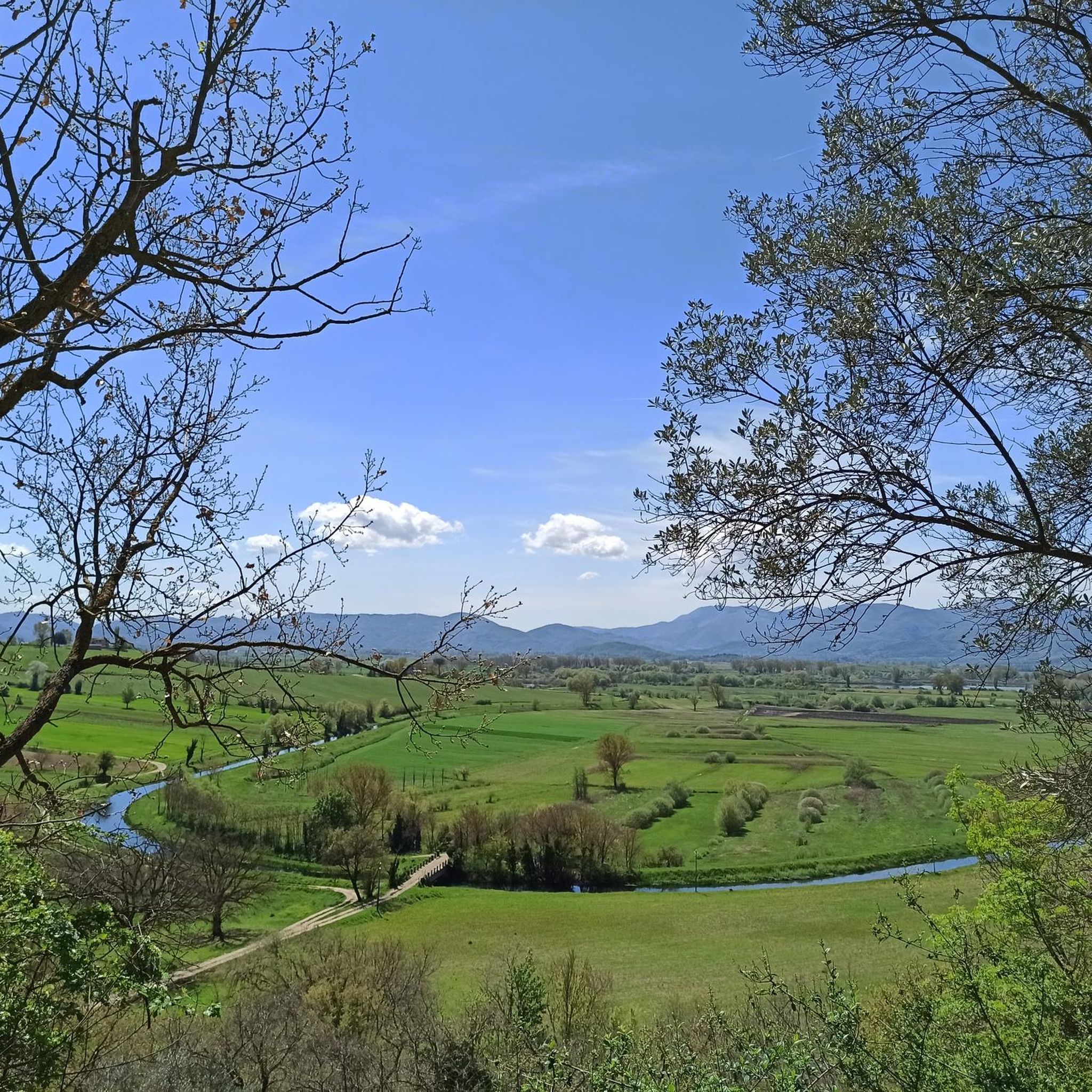
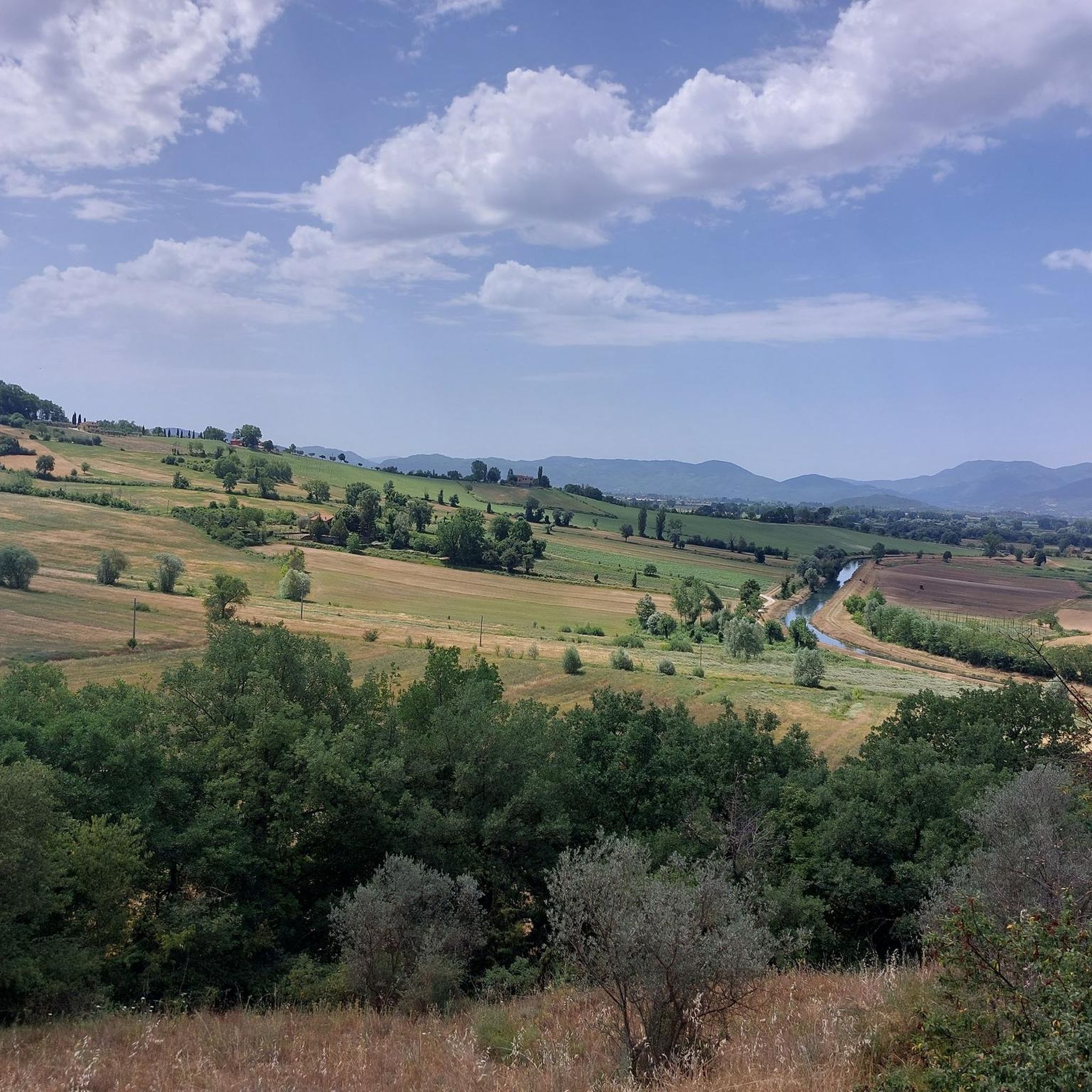
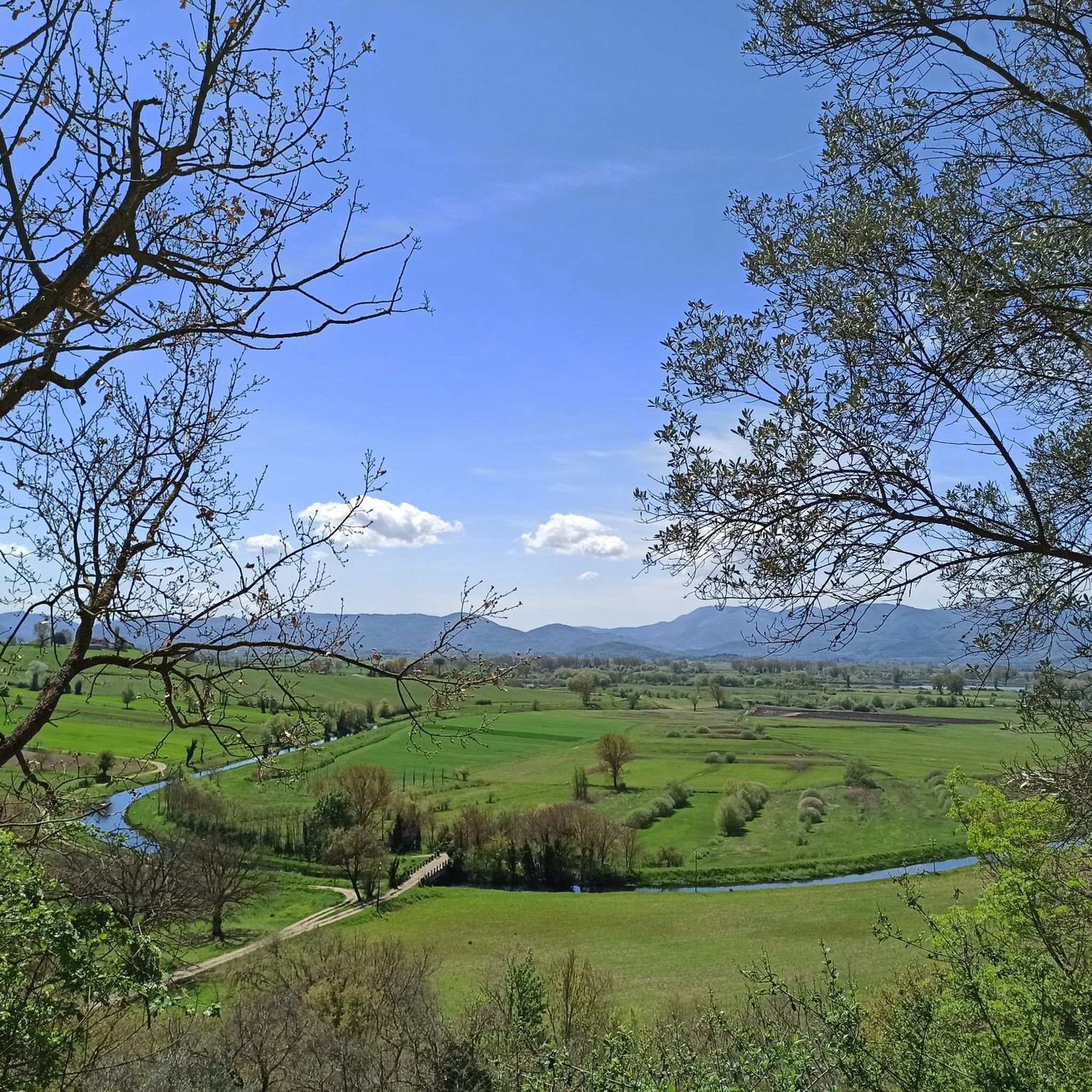
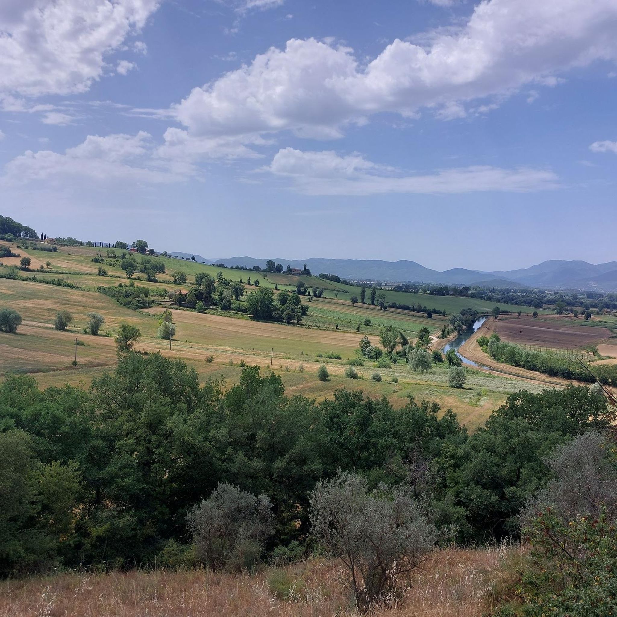

커뮤니티 팁

몇 개의 레스토랑/바가 있는 아름다운 작은 마을 광장. 오르막길 후 짧은 휴식에 이상적입니다. 크리스마스 시즌에는 크리스마스 장식과 구유 장면이 있는 크리스마스 마켓도 있습니다. 링크는 다음과 같습니다 2025 https://www.facebook.com/ComunediGreccio/posts/tra-i-grandi-eventi-del-natale-2025-di-greccio-con-la-mostra-mercato-dellartigia/1135732188735441/
1
0

A stop at Piediluco Lake is highly recommended!
1
0

sustained 10% climbing but lovely quite roads with little traffic
0
0

cuz b or ii b ii on ii or on k jo or on b or ird ii on iii or ok ok ii in ii
0
0

Sanctuary of Grecchio, one of the four shrines of St. Francis around Rieti Valley. Here, Francis depicted the Christmas story with living figures to help the local farmers understand it. Since then, setting up a nativity scene at Christmas has been a custom throughout most of the Christian world. Grecchio is a very special place
2
0

It is the road that connects Terni and Rieti, surrounded by greenery and well preserved. With the construction of the fast lane, it is almost traffic-free. Highly recommended!
2
0

Lago di Piediluco / Lake Piediluco Located in the southeastern foothills of Umbria, with a tributary bordering Lazio, Lake Piediluco, although 1.85 km² wide, is the largest natural lake basin in the region after Lake Trasimeno. Its name seems to be interpreted as "at the foot of the sacred grove." Together with Lakes Lungo, Ripasottile, and Ventina, located in the province of Rieti, it represents one of the remains of the ancient Lacus Velinus, a large basin of alluvial origin formed starting in the Quaternary period. The irregularly shaped lake, with a circumference of approximately 13 kilometers, is located at an altitude of 375 meters and has a maximum depth of approximately 19 meters. Its natural tributary is the Fuscello stream; the other two tributaries are represented by artificial canals. One connects it to the Velino River, while the other, 42 kilometers long, consists almost entirely of tunnels and diverts part of the waters of the Nera River into the lake. The inflow and outflow of water is entirely tailored to the energy needs of the industry in nearby Terni. The emissary, the Velino River, is diverted towards Marmoré, where it flows into the Nera River to form the Marmore Waterfall. Text / Source: wikipedia.org https://it.wikipedia.org/wiki/Lago_di_Piediluco
15
0

Nestled in the green woods of the province of Rieti, Lake Ventina is very small (its surface area is about 0.1 square kilometers) but very charming. It is located in the alluvial plain of the Conca Reatina and its maximum depth is 3.5 meters. It is possible to swim in it, but the lake is especially known for fishing.
0
0
모로 레티노 주변에서 가장 인기 있는 명소


더 살펴보기
다른 지역의 최고의 로드 사이클링 경로를 살펴보세요.
