칸탈리스 최고의 라이딩 경로
4.6
(283)
3,942
자전거 타는 사람
107
라이딩
칸탈리스의 로드 사이클링 경로를 찾으시나요? 그렇다면 칸탈리스 로드 라이딩 컬렉션 중에서 가장 멋진 라이딩 장소를 아래에서 살펴보세요.
마지막 업데이트: 9월 12, 2026
4.0
(1)
120
자전거 타는 사람
49.6km
03:09
1,440m
1,440m
어려운 도로 자전거 타기. 우수한 체력 필요. 지면 대부분이 잘 포장되어 있고 라이딩하기 쉬움.
4.0
(2)
27
자전거 타는 사람
47.6km
03:04
1,420m
1,420m
어려운 도로 자전거 타기. 우수한 체력 필요. 지면 대부분이 잘 포장되어 있고 라이딩하기 쉬움.

24
자전거 타는 사람
39.9km
01:36
180m
180m
초급용 로드 라이딩. 모든 체력 수준에 적합. 지면 대부분이 잘 포장되어 있고 라이딩하기 쉬움.
21
자전거 타는 사람
40.0km
02:05
580m
580m
보통 도로 자전거 타기. 좋은 체력 필요. 지면 대부분이 잘 포장되어 있고 라이딩하기 쉬움.
5.0
(1)
52
자전거 타는 사람
75.5km
04:38
2,070m
2,070m
어려운 도로 자전거 타기. 우수한 체력 필요. 지면 대부분이 잘 포장되어 있고 라이딩하기 쉬움.
더 다양한 경로와 다른 탐험가들의 추천을 살펴보세요.
이미 komoot 계정이 있나요?
투어 추천은 다른 사람들이 komoot에서 완료한 수천 개의 활동을 바탕으로 구성되어 있습니다.
오늘 무료 계정으로 시작하세요
다음 모험이 기다리고 있어요.

커뮤니티 팁

sustained 10% climbing but lovely quite roads with little traffic
0
0

cuz b or ii b ii on ii or on k jo or on b or ird ii on iii or ok ok ii in ii
0
0

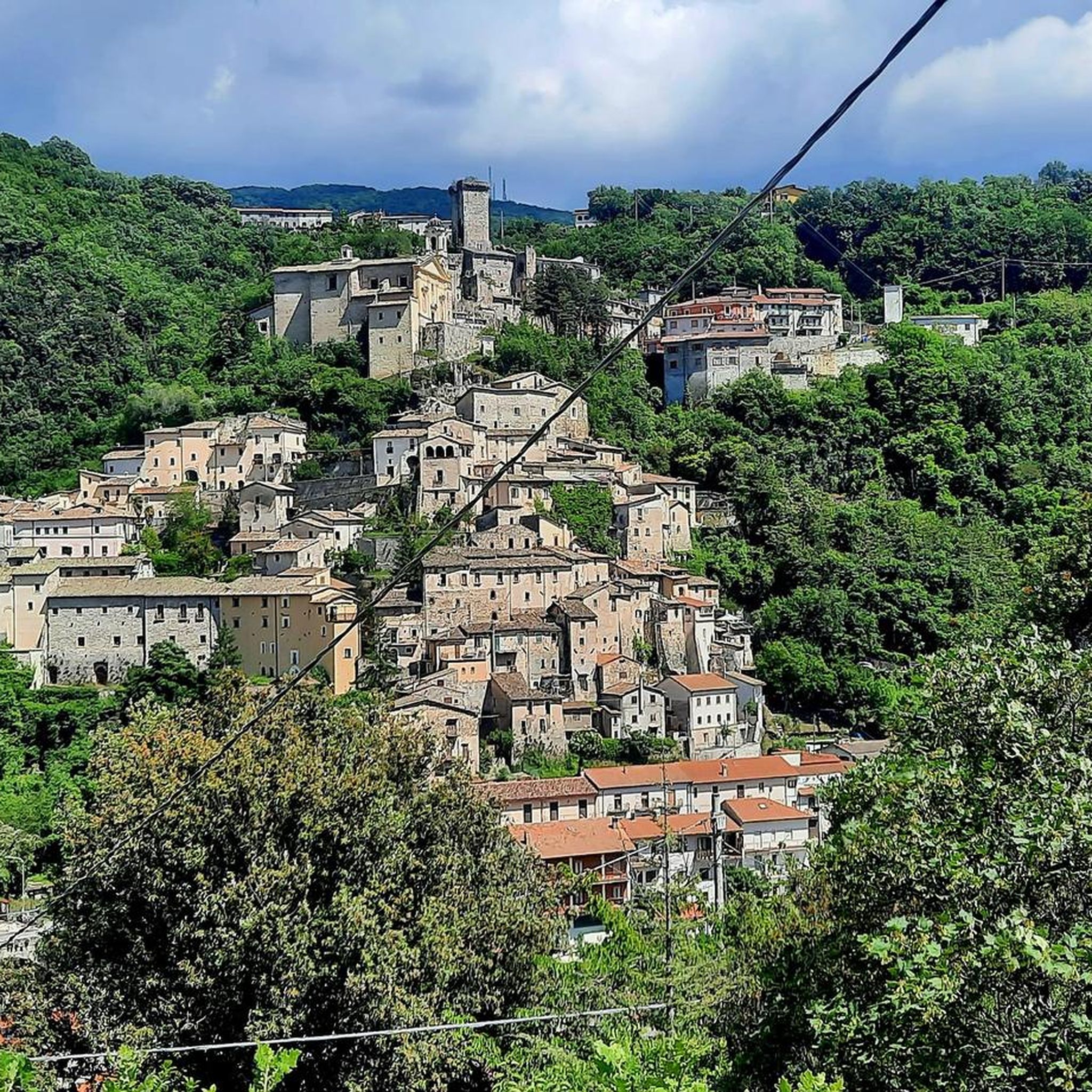
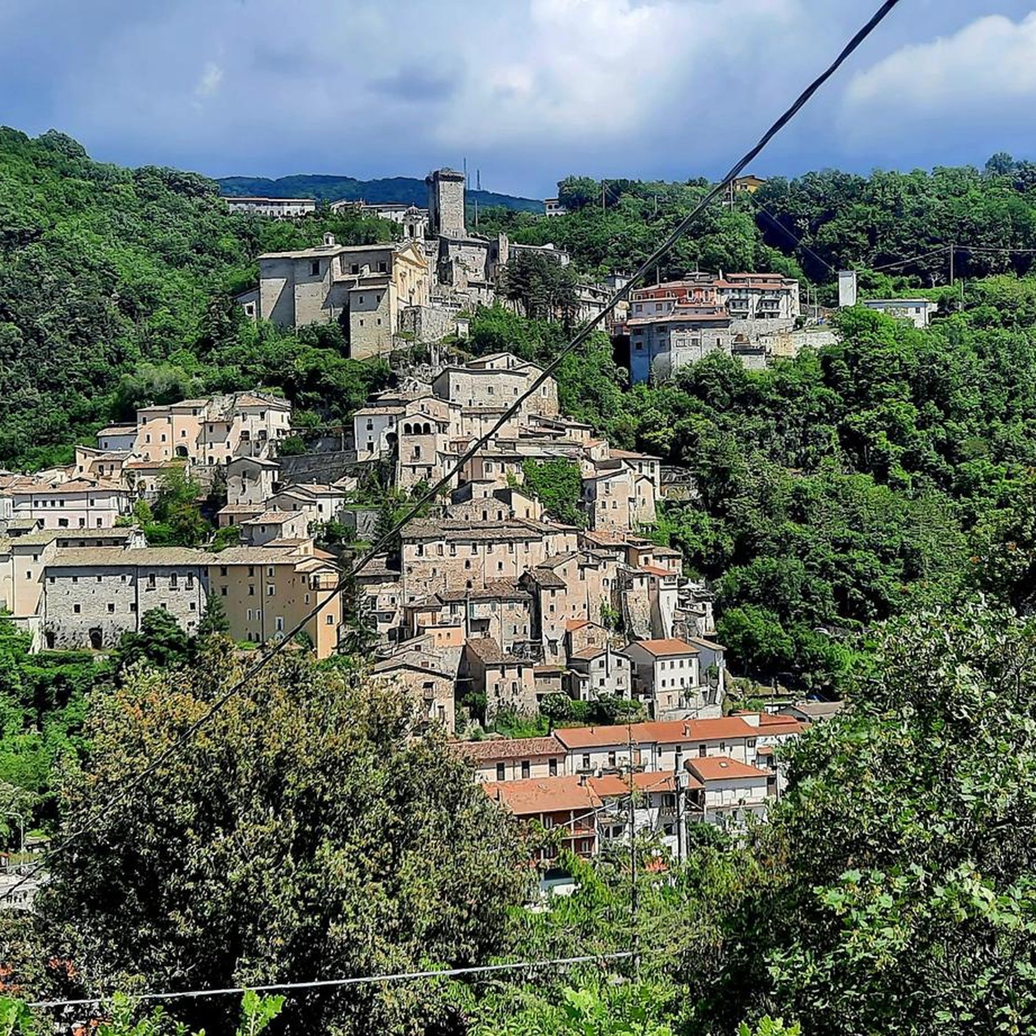
Small hamlet of the municipality of Rieti, located at 600 m above sea level on the slopes of the Terminillo mountain massif, along the Terminillese road that leads from Rieti to Terminillo. It is divided into two parts, the oldest, Lisciano Alto built around the parish church of Santa Maria del Soccorso dating back to the medieval period and the most recent located downstream from the old town
2
0
The town of Pian de’ Valli, is located in the municipality of Rieti, stands at the foot of Terminillo, at an altitude of 1620 meters, hosts many accommodation and commercial activities, and the departure station of the ski lifts is located a few steps from the center. The famous Terminillo cable car is still in operation today both in the winter and summer seasons and is the historical symbol of Pian de’ Valli.
2
0
The walls surround the entire center, of Roman origin, of which few traces remain; the medieval walls built in the 13th century are still widely visible with their towers and portals, which are considered "among the most imposing and best preserved in Lazio. Very suggestive
2
0

Surprise; suddenly passing over a bridge the attention comes from the right side the crystalline green of a river at first and then we discover that it is a canal where the trout swim calmly in freedom showing themselves in their beauty thanks to the clarity of the waters also populated by two splendid specimens of white swans
0
0
After the pass at about 1900 m above sea level begins a long descent of about 20 km towards Rieti. Here after the first 3 or 4 km the landscape changes, it is totally different and the road becomes wider and populated with cars of tourists who go up from the Rieti plain and who arrive from the hot capital Rome.
1
0
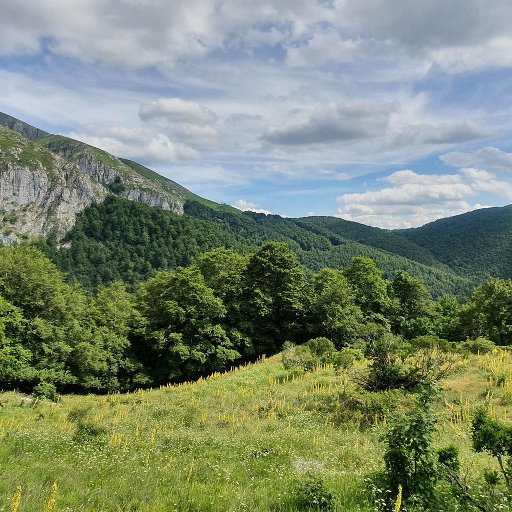
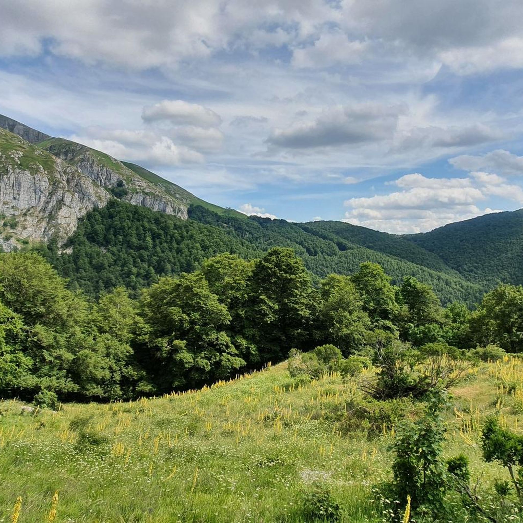
The last 3 km. Towards Sella di Leonessa transport us to the Dolomites; the surrounding landscape is no longer populated by beech woods but is hairless, it wants the gaze and nose to be upwards because up there is the Vera mountain
2
0
칸탈리스 주변에서 가장 인기 있는 경로
칸탈리스 주변에서 가장 인기 있는 명소


더 살펴보기
다른 지역의 최고의 로드 사이클링 경로를 살펴보세요.
