20의 아롤리/오롤리가지 명소 & 주요 장소
아롤리/오롤리에는 둘러볼 만한 장소가 많답니다. 하이킹 또는 사이클링을 좋아한다면 아롤리/오롤리에 숨겨진 20
가지 보석을 만날 수 있을 거예요. 이 지역의 주요 명소를 살펴보면서 다음 모험을 계획해보세요.
마지막 업데이트: 8월 24, 2026
Sa Brecca de Is Tapparas
하이라이트 (구간) • 협곡
번역자 Google •
팁에 의해


이런 장소를 발견하려면 지금 가입하세요
최고의 싱글 트랙, 봉우리 및 다양한 흥미로운 야외 장소에 대한 추천을 받아보세요.
무료 회원 가입
푼타나 코베르타 성스러운 우물
하이라이트 • 역사적 장소
번역자 Google •
팁에 의해

실리우스의 광산 테마 벽화
하이라이트 • 기념물
번역자 Google •
팁에 의해

로마 목욕탕과 산 바실리오 로마네스크 교회
하이라이트 • 역사적 장소
번역자 Google •
팁에 의해
무료로 가입하여 아롤리/오롤리 주변의 더 많은 명소를 발견하세요.
무료 회원 가입
이미 komoot 계정이 있나요?
오늘 무료 계정으로 시작하세요
다음 모험이 기다리고 있어요.
로그인 또는 가입하기


커뮤니티 팁

It is one of the most famous, interesting, and intact of the approximately thirty Nuragic well-temples where the water cult was practiced: the name "covered well" itself expresses its function and excellent state of preservation. Three kilometers from Ballao, a town in the historic region of Gerrei – along Provincial Road 13, which leads from the town to Escalaplano – lies the sacred well of Funtana Coberta, nestled in a green valley floor, enclosed to the east by a small hill. The entire building, ten and a half meters long, was constructed from irregular, roughly hewn limestone blocks of uniform thickness, carved on the exposed side. The floor plan is unusual: two wings of different lengths create an atrium whose original flooring is still visible. As is common with sacred wells, the monument is divided into three parts: on the surface, the small outdoor atrium (or vestibule), rectangular and almost two meters wide; an access staircase with twelve narrow steps, well crafted and covered with a stepped ceiling composed of twelve sloping architraves that fit into the walls and echo the shape of the underlying steps leading down to the floor of the tholos chamber; more precisely, the tholos chamber was built in the shape of a small nuragic: it is a semi-subterranean chamber with an almost circular plan, three and a half meters wide at the bottom and covered by a false dome five and a half meters high. Noteworthy is the construction of the dome, surrounded by a drum wall, to which a projecting body is attached that delimits the access staircase and the two wings of the atrium in antis. Also noteworthy is the slight curvature of the walls, almost as if to 'invite' the faithful into the interior of the temple. The floor is made of limestone slabs carefully arranged in a radial pattern. Here is the well shaft, dug into the rock, five meters deep, and covered with 36 rows of stones, with an average opening of one meter wide, from which the water spring flows. Source and further information: https://www.sardegnaturismo.it/it/esplora/funtana-coberta
0
0

Here are many remains of masonry
1
0

Silius has an ancient mining history, with its mines in the Genna Tres Montis area from which fluorite, barite and quartz were extracted
1
0
Remains of wall structures that enclose rooms and ducts of what was once the San Basilio spa complex. The tanks and cisterns that were part of the hydraulic operating system are still visible, which exploited the slope of the level curves to convey the water and channel it into the cisterns and from these into the tanks. The Romanesque church of San Basilio, dating back to around the 12th century, is also located in front.
3
0

Nice artificial lake dating back to the 1950s. It is located not far from Sanluri, about 40km and is generated by the dam of the Rio Mulargia.
1
0

Lake created in the 50s which draws mainly from the Fiumendosa. Of fundamental importance to ensure water in Cagliari and neighboring cities. It is possible to make excursions by boat with scheduled departures from both Siurgus Donigala and Orroli
3
0
Lake created in the 50s which draws mainly from the Fiumendosa. Of fundamental importance to ensure water in Cagliari and neighboring cities. It is possible to make excursions by boat with scheduled departures from both Siurgus Donigala and Orroli
1
0

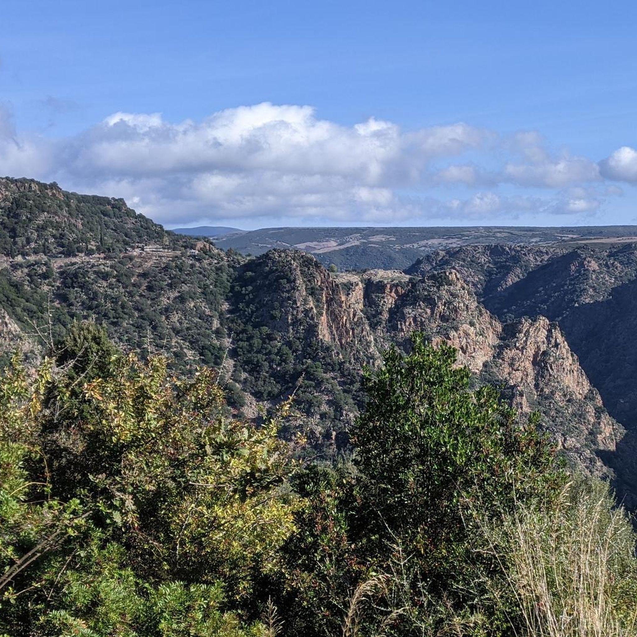
Hardly accessible via long overgrown paths, here the Brecca de is Tapparas penetrates as a deep crevice into the crumbly ground. 500 m long, 30 m deep and no more than 2 m wide, the path leads through a cool channel that inspires. Why this highlight is so deserted cannot be explained, because such narrow gorges are usually very sparse and therefore all the more interesting.
3
1
아롤리/오롤리 주변에서 가장 인기 있는 경로
아롤리/오롤리 주변에서 가장 인기 있는 명소


더 살펴보기
찾고 있는 하이라이트를 아직 못 찾으셨나요? 다른 지역의 주요 명소 가이드를 확인해보세요:
