제롤라 알타 최고의 워킹 & 하이킹 경로
4.4
(1013)
6,761
등산객
82
하이킹
정확한 경로를 찾는 것이 때로는 어렵지만 제롤라 알타에서 하이킹을 하면 다양한 경치를 마음껏 감상할 수 있답니다. 제롤라 알타에서 가장 멋진 하이킹과 워킹 중에서 마음에 드는 활동을 시작해보세요.
마지막 업데이트: 8월 17, 2026
4.5
(24)
174
등산객
15.0km
07:04
1,080m
1,080m
어려운 하이킹. 우수한 체력 필요. 튼튼한 신발을 신고 미끄러지지 않게 조심해야 하며, 높은 산을 오른 경험이 있어야 함.
4.7
(49)
226
등산객
11.4km
04:42
620m
620m
어려운 하이킹. 좋은 체력 필요. 튼튼한 신발을 신고 미끄러지지 않게 조심해야 하며, 높은 산을 오른 경험이 있어야 함.

무료 회원 가입
4.7
(29)
144
등산객
11.3km
05:23
870m
870m
어려운 하이킹. 우수한 체력 필요. 튼튼한 신발을 신고 미끄러지지 않게 조심해야 하며, 높은 산을 오른 경험이 있어야 함.
4.5
(6)
29
등산객
9.32km
03:22
510m
510m
보통 하이킹. 좋은 체력 필요. 대부분 갈 수 있는 길. 미끄러지지 않게 조심해야 함.
4.7
(26)
162
등산객
10.9km
04:29
510m
510m
보통 하이킹. 좋은 체력 필요. 대부분 갈 수 있는 길. 미끄러지지 않게 조심해야 함.
더 다양한 경로와 다른 탐험가들의 추천을 살펴보세요.
무료 회원 가입
이미 komoot 계정이 있나요?
투어 추천은 다른 사람들이 komoot에서 완료한 수천 개의 활동을 바탕으로 구성되어 있습니다.
오늘 무료 계정으로 시작하세요
다음 모험이 기다리고 있어요.
로그인 또는 가입하기


커뮤니티 팁

Alpe di Trona의 이름에서 유래했으며, 태양에 노출된 즉 남향을 의미하는 형용사 "soliva"가 붙었습니다. 이는 Bitto 목초지의 옛 명칭을 가리키며, 지역은 "soliva"와 "vaga"(즉 북향)로 구분되었습니다. 노출 정도에 따라 목초지의 품질이 달라졌기 때문에 soliva와 vaga의 구분은 매우 중요했습니다.
1
0

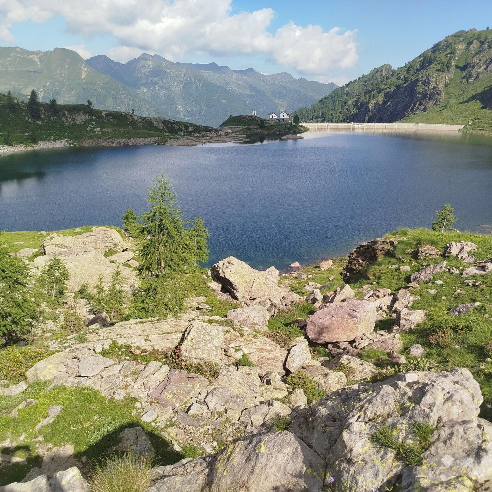
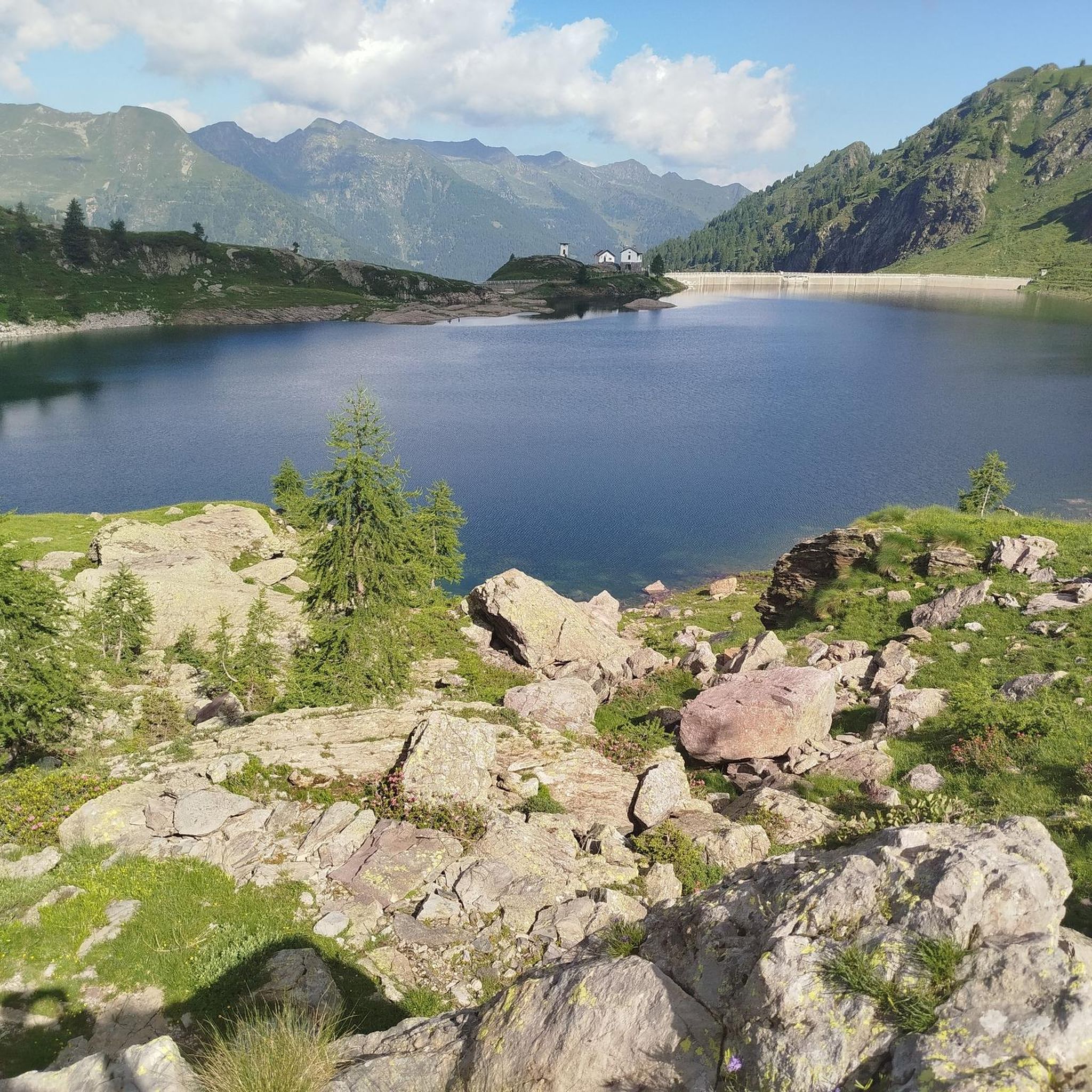
Lake formed by a dam, I recommend taking a tour there
0
0
beautiful refuge located in a unique setting
0
0


A beautiful alpine lake whose waters change color depending on the season and weather conditions. It's an excellent stopover or a destination. Its shores are accessible and offer several places to stop and rest. The amphitheater of peaks surrounding it is stunning.
2
0

An excellent refuge with a large open space where you can rest, thanks to the many outdoor tables. Semi-self-service kitchen open from 11:00 am to 2:00 pm. The buckwheat cake with jam is truly excellent, recommended for everyone. You can self-stamp your refuge and get a tour guide inside the refuge. From here, you can climb to Cima Piazzotti for a stunning view of the Val d'Inferno, and the area is home to a few ibex. You can also stay overnight and perhaps head towards Pizzo dei 3 Signori or Rifugio Grassi.
1
0
Excellent, well-equipped refuge for both a day's stay and an overnight stay. Ample outdoor space with tables for dining. The 360° view is spectacular, both over the Bergamo Orobie and the Valtellina Alps. Starting from the road leading to Piani dell'Avaro, there are two possible trails: the traditional 108, which, however, involves a very steep gully (not recommended for dogs), or the 108A, the longer (but also much more scenic) variant, which does not involve any steep sections.
4
0

The path from the refuge to the road to the dam was redone last year. If it weren't for the sharp rocks it's strewn with, it wouldn't even be that bad, but it's quite dangerous.
0
0


더 살펴보기
다른 지역의 최고의 하이킹를 살펴보세요.
