산토 스테파노 델 솔레에서 가장 멋진 7개의 산 정상
산토 스테파노 델 솔레의 산 정상에 오르면 이 지역의 아름다운 모습을 제대로 구경할 수 있어요. 다만, 7
곳이나 되는 산 정상 중에서 어떤 곳을 가야 할 지 고민된다는 게 문제죠. 산토 스테파노 델 솔레에서 가장 멋진 산 정상을 살펴본 후에 마음에 드는 산 정상을 다음 모험 계획에 추가해보세요.
마지막 업데이트: 10월 11, 2026

테르미니오 산 북쪽 앞봉
하이라이트 • 정상
To reach it: trekking clothing and sturdy shoes.
번역자 Google •
팁에 의해

이런 장소를 발견하려면 지금 가입하세요
최고의 싱글 트랙, 봉우리 및 다양한 흥미로운 야외 장소에 대한 추천을 받아보세요.
크로체피소 델 테르미니오
하이라이트 • 종교적 장소
번역자 Google •
팁에 의해

Breccelle 게이트에서 몬테 팔리에시 정상까지의 트레일
하이라이트 • 트레일
번역자 Google •
팁에 의해

테르미니오 정상과 보조봉 사이
하이라이트 (구간) • 정상
Trekking clothing and sturdy shoes.
번역자 Google •
팁에 의해
무료로 가입하여 산토 스테파노 델 솔레 주변의 더 많은 봉우리를 발견하세요.
이미 komoot 계정이 있나요?
오늘 무료 계정으로 시작하세요
다음 모험이 기다리고 있어요.

커뮤니티 팁

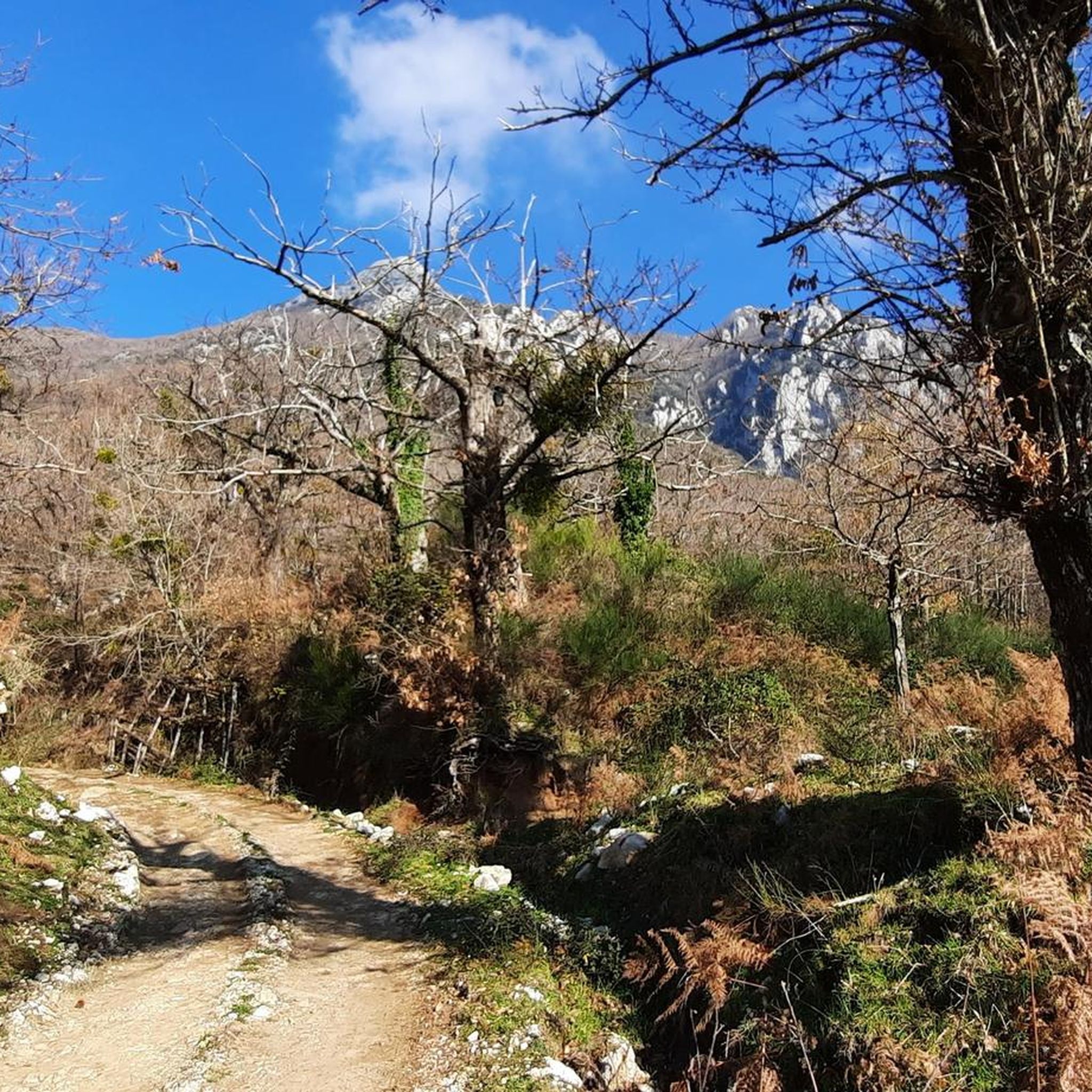
Actually the stretch on the ridge between the summit and the pre-summit. Beautiful views and green meadows with a thousand flowers during spring/summer. Trekking clothing and sturdy shoes.
4
0
The view from the Anticima del Terminio is truly spectacular. Then in spring/summer between the summit and the anticima there is a beautiful green meadow. To reach it: trekking clothing and sturdy shoes.
2
0
https://it.wikipedia.org/wiki/Monte_Mai from https://www.ulyxes.it/monte-mai-ee: The name of the Monti Mai certainly derives from the Latin word "maior", large. Some ancient papers and the same reports of Giustino Fortunato, illustrious explorer of the Picentini, also report the diction Maj. Main ridge of the homonymous mountain group, elongated in the ESE-WNW direction, the peak is located at the convergence of three ridges, impervious and interrupted by gaps, rocky crags and secondary peaks. The Monti Mai belong to the westernmost subgroup of the Monti Picentini, one of the largest mountain groups in southern Italy and part of the homonymous regional park. They are characterized by Mesozoic carbonate platform rocks and to a lesser extent by Triassic dolomites and marls. The vegetation that covers the Monti Mai is mainly represented by beech trees that cover the upper part, over 800 m, and chestnut trees on the slopes. The fauna, very rich, like that of all the Picentini Mountains, consists of large mammals, such as the wolf, the fox, the badger, the wild boar; birds of prey such as the peregrine falcon, the buzzard, the sparrowhawk, the goshawk; the black woodpecker, long-eared owl, dipper, kingfisher; amphibians such as the Apennine frog, the European green toad, the spectacled salamander, the fire salamander.
3
0

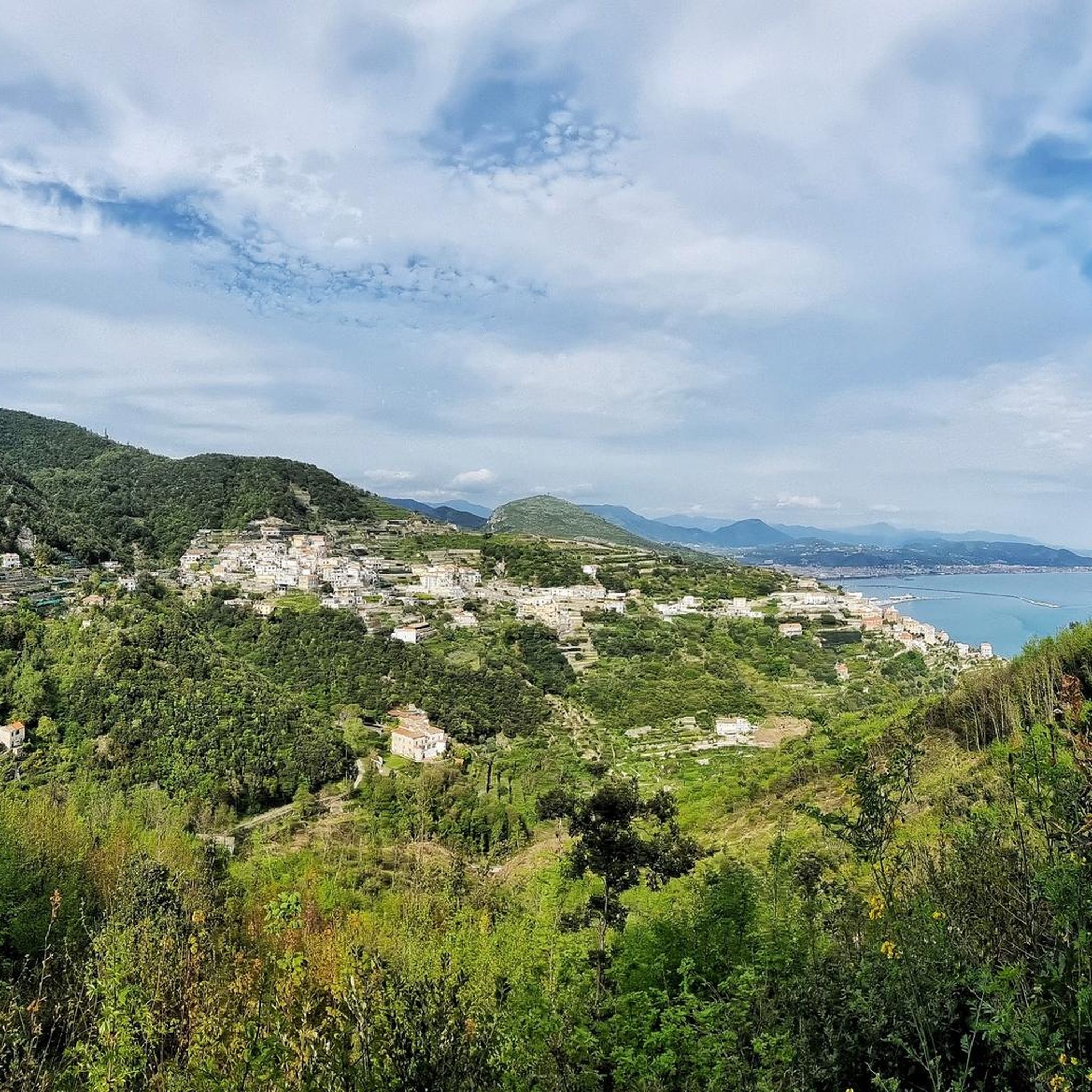
Summit of Monte Mai, where you can admire a breathtaking view that ranges from the Gulf of Salerno to Vesuvius, with an overview of the highest peaks of the Picentini Mountains.
3
0

The north foresummit of Monte Terminio is very panoramic. From here you have a great view of the main peak.
1
0

Beautiful path that leads to the top of Mount Faliesi,
15
0

From this position you can get to Giffoni or go down to the banks on Saturday.
6
0
From the barrier on Breccelle, you can reach the top of Mount Faliesi, taking this path.
4
1
산토 스테파노 델 솔레 주변에서 가장 인기 있는 명소


더 살펴보기
이 가이드를 통해 산토 스테파노 델 솔레 주변의 더 놀라운 정상들을 확인해보세요:
