알비토 최고의 워킹 & 하이킹 경로
4.5
(333)
1,412
등산객
15
하이킹
정확한 경로를 찾는 것이 때로는 어렵지만 알비토에서 하이킹을 하면 다양한 경치를 마음껏 감상할 수 있답니다. 알비토에서 가장 멋진 하이킹과 워킹 중에서 마음에 드는 활동을 시작해보세요.
마지막 업데이트: 8월 30, 2026
4.5
(15)
60
등산객
12.5km
04:04
550m
550m
Embark on a moderate hike from Nibbio Bridge to the Lattara Valley, a journey through the picturesque Italian landscape of the Abruzzo, Lazio and Molise National Park. This trail covers…
4.7
(6)
16
등산객
18.1km
06:21
1,030m
1,030m
Prepare for a difficult hiking adventure on the Capo d'Acqua - Montagnone Trail, a route that promises a rewarding journey through the natural beauty of the Abruzzo region. You will…

무료 회원 가입
2
등산객
13.7km
05:19
990m
990m
Hike the difficult 8.5-mile From Rio Valley to Monte Tranquillo trail, gaining 3255 feet for panoramic views in Abruzzo National Park.
4.9
(7)
32
등산객
13.5km
04:55
840m
840m
보통 하이킹. 좋은 체력 필요. 실력과 관계없이 누구나 쉽게 갈 수 있는 길.
4.5
(4)
23
등산객
5.37km
01:49
300m
300m
초급용 하이킹. 모든 체력 수준에 적합. 실력과 관계없이 누구나 쉽게 갈 수 있는 길.
더 다양한 경로와 다른 탐험가들의 추천을 살펴보세요.
무료 회원 가입
이미 komoot 계정이 있나요?
투어 추천은 다른 사람들이 komoot에서 완료한 수천 개의 활동을 바탕으로 구성되어 있습니다.
오늘 무료 계정으로 시작하세요
다음 모험이 기다리고 있어요.
로그인 또는 가입하기
알비토 주변 인기 장소
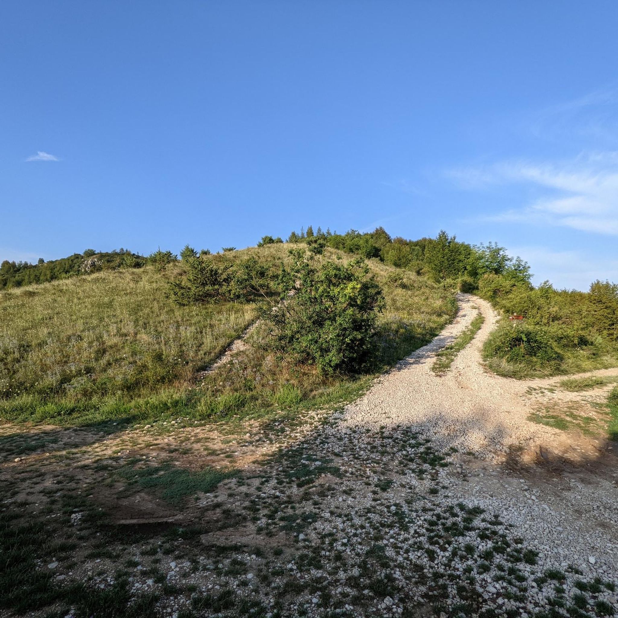
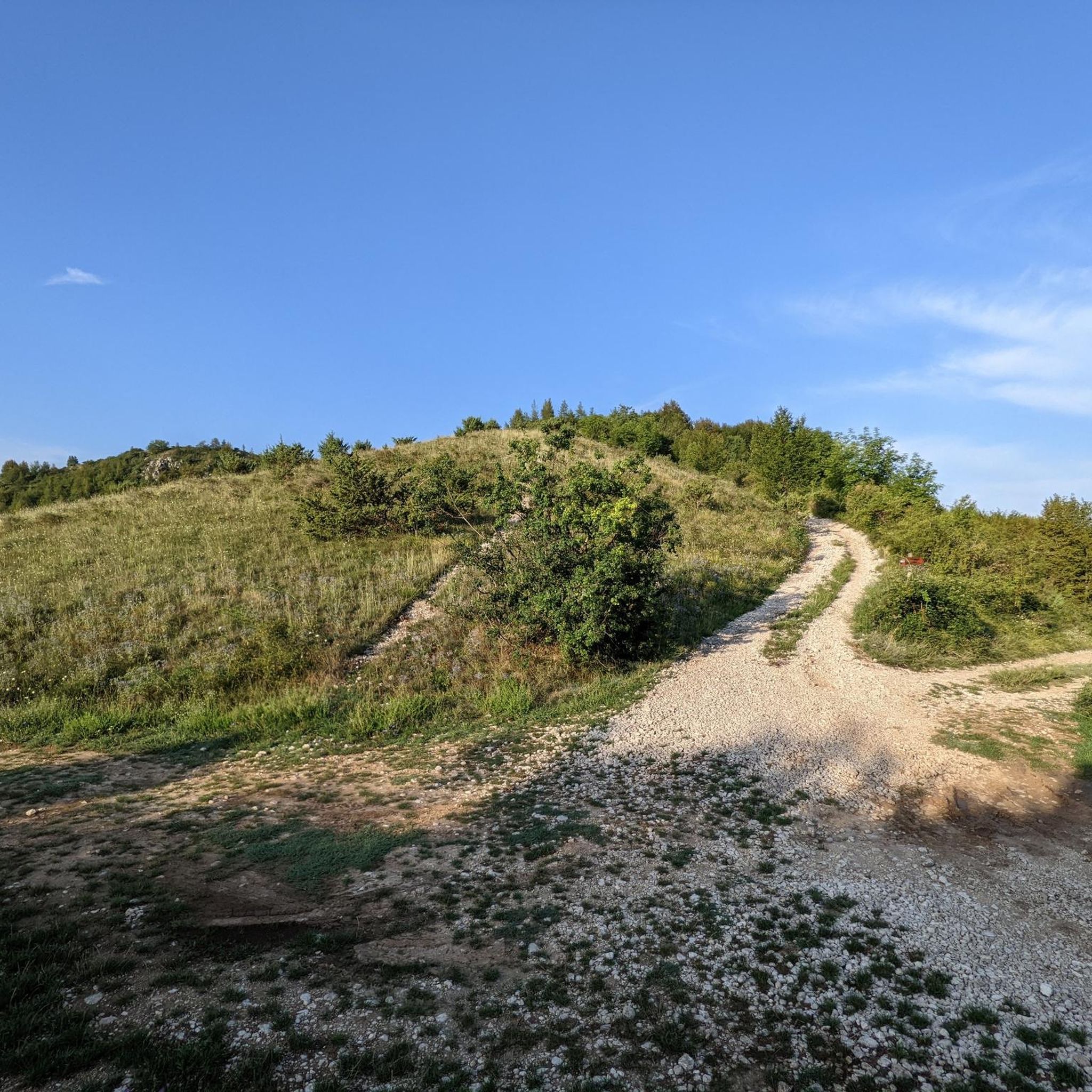
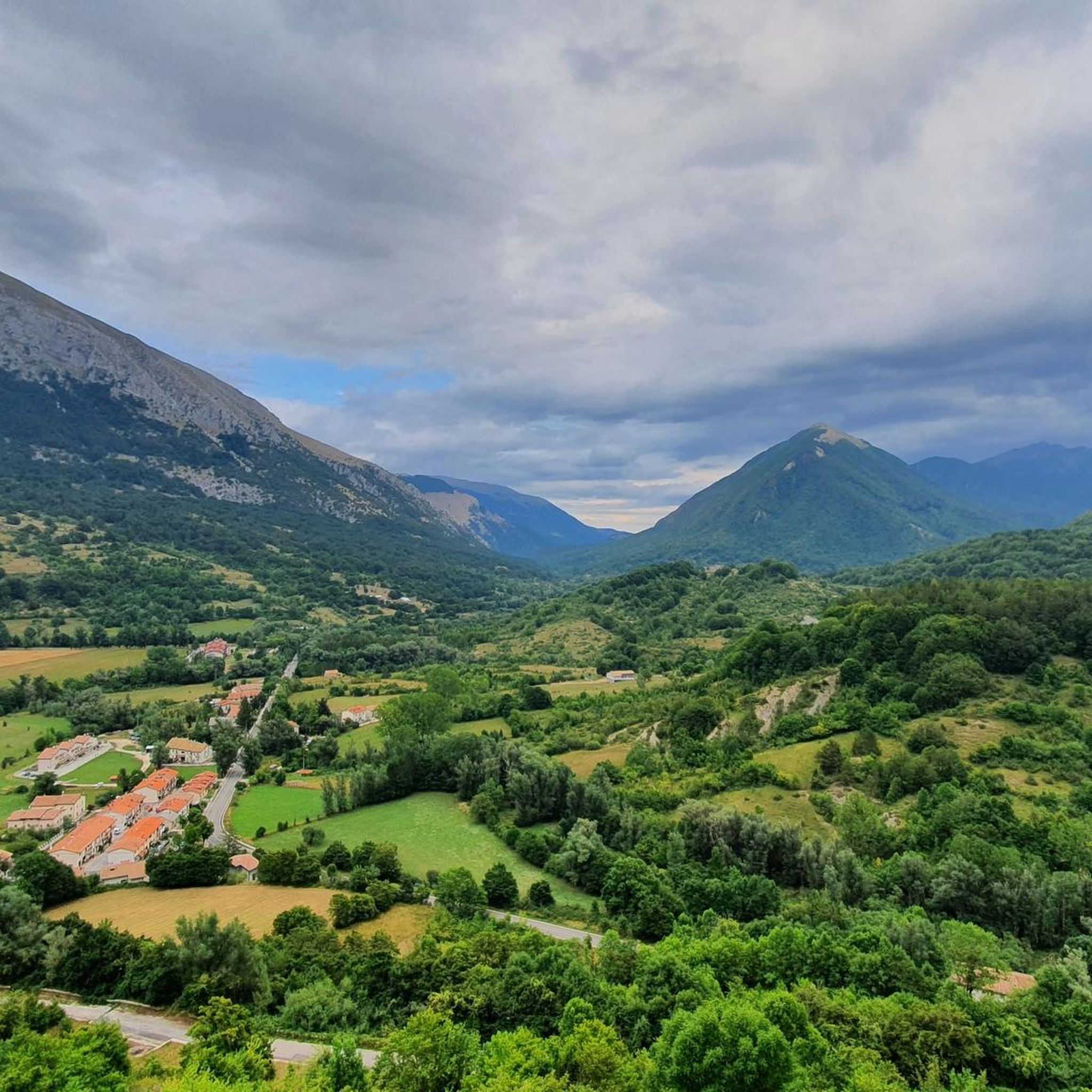
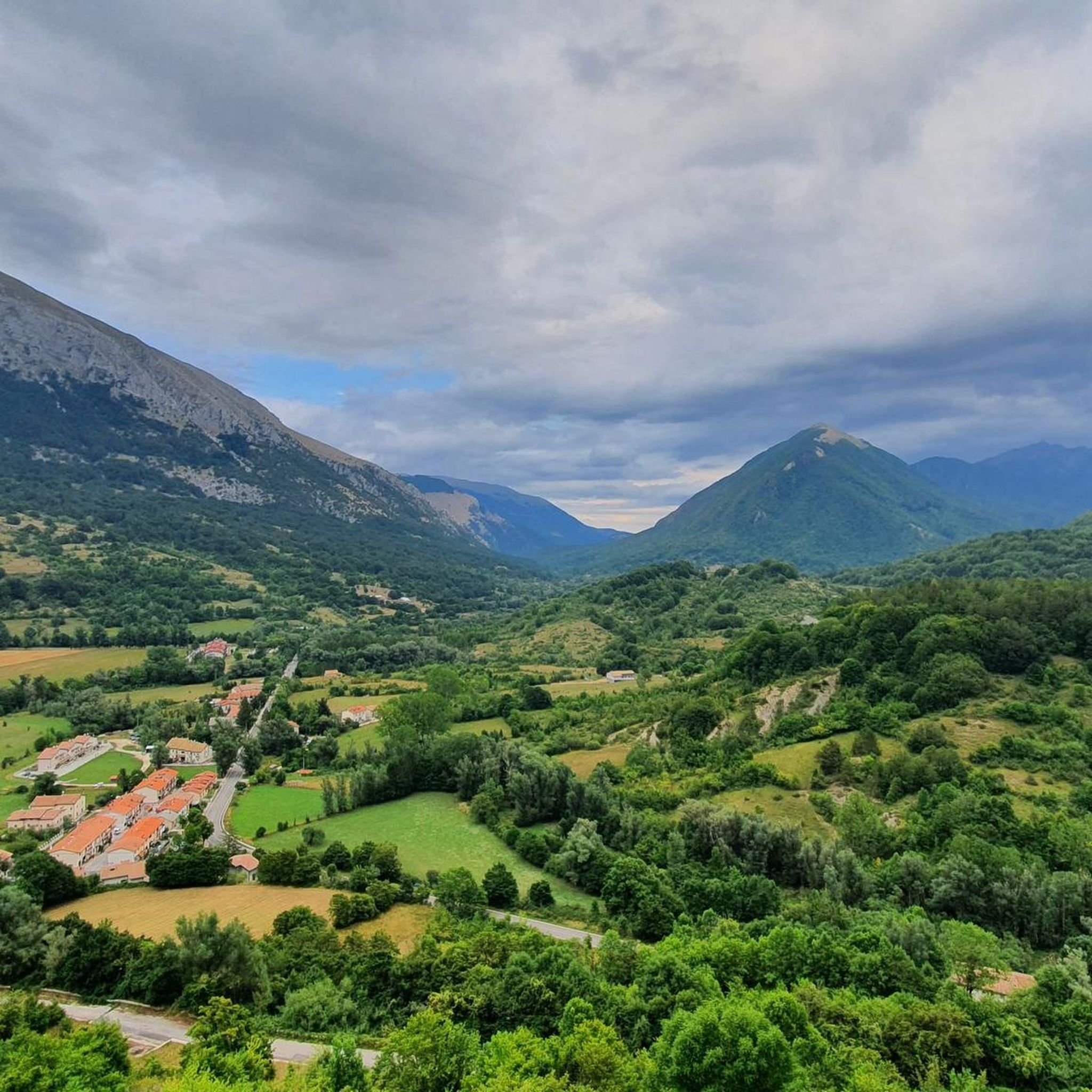
커뮤니티 팁

Peak of 1974m. To date, access is only permitted along the SE ridge (from Montagnone 1819m) or from Balzo di Ciotto (without a marked path). The path that runs along the NE ridge (from the Schiena d'Asino pass) has been removed from the official PNALM ones, and is therefore currently prohibited (PNALM Regulations updated to August 2020 and PNALM Trail Network to May 2025, both available on the Park website). You may encounter park rangers on surveillance duty.
0
0

Unattended shelter. It can also be reached by MTB with path C3. https://www. excursionism.it/rifugi-bivouacs/di-valle-lattara-16027
0
0

Several tracks, including that of the Sentiero Italia, run in this wonderful beech forest. A suggestive place, especially in autumn.
0
0

From this point it is possible to enjoy the view of Monte Trani, Monte La Celara and Monte Prato and Pizzo di Prato Caselle. Weather permitting, it is also possible to identify Monte Cairo to the west and Monte Petrella and see the Gulf of Gaeta.
1
0
The Valle Lattara Refuge is a refuge located at an altitude of 1560 m. It is not guarded.
1
0
This peak (1776 m) is part of the Abruzzo group of the Marsicani Mountains and is located on the border of the Abruzzo, Lazio and Molise National Park. From here it is possible to see Sora, the Lepini Mountains and the Sacco Valley.
1
0
This relief has a height of 1921.8 meters. It is part of the Abruzzo group of the Marsicani Mountains. Since the Marsican brown bear is present in this area, it is possible that in some areas the tourist flow is regulated, so it is advisable to call the park to check the access procedures.
2
0
This refuge is called as the Vallone Capo d’Acqua (929 m).
1
0
알비토 주변에서 가장 인기 있는 경로
알비토 주변에서 가장 인기 있는 명소


더 살펴보기
다른 지역의 최고의 하이킹를 살펴보세요.
