카스텔누오보 파라노 최고의 워킹 & 하이킹 경로
4.7
(15)
110
등산객
14
하이킹
정확한 경로를 찾는 것이 때로는 어렵지만 카스텔누오보 파라노에서 하이킹을 하면 다양한 경치를 마음껏 감상할 수 있답니다. 카스텔누오보 파라노에서 가장 멋진 하이킹과 워킹 중에서 마음에 드는 활동을 시작해보세요.
마지막 업데이트: 10월 11, 2026
5.0
(1)
11
등산객
8.01km
03:10
620m
620m
Embark on the Selvacava-Monte Fammera Trail, a moderate hike that takes you through varied landscapes, from wooded sections to exposed, rocky terrain. You will follow an ancient mule track, winding…
1
등산객
13.1km
04:21
630m
630m
Embark on a moderate hiking experience from Coreno Ausonio, a ring tour that spans 8.1 miles (13.1 km) with an elevation gain of 2075 feet (633 metres), typically taking around…

10
등산객
15.4km
04:10
190m
190m
보통 하이킹. 좋은 체력 필요. 실력과 관계없이 누구나 쉽게 갈 수 있는 길.
6
등산객
11.7km
03:12
180m
180m
보통 하이킹. 좋은 체력 필요. 실력과 관계없이 누구나 쉽게 갈 수 있는 길.
3.0
(1)
8
등산객
6.69km
02:15
290m
290m
어려운 하이킹. 좋은 체력 필요. 튼튼한 신발을 신고 미끄러지지 않게 조심해야 하며, 높은 산을 오른 경험이 있어야 함.
더 다양한 경로와 다른 탐험가들의 추천을 살펴보세요.
이미 komoot 계정이 있나요?
투어 추천은 다른 사람들이 komoot에서 완료한 수천 개의 활동을 바탕으로 구성되어 있습니다.
오늘 무료 계정으로 시작하세요
다음 모험이 기다리고 있어요.
카스텔누오보 파라노 주변 인기 장소
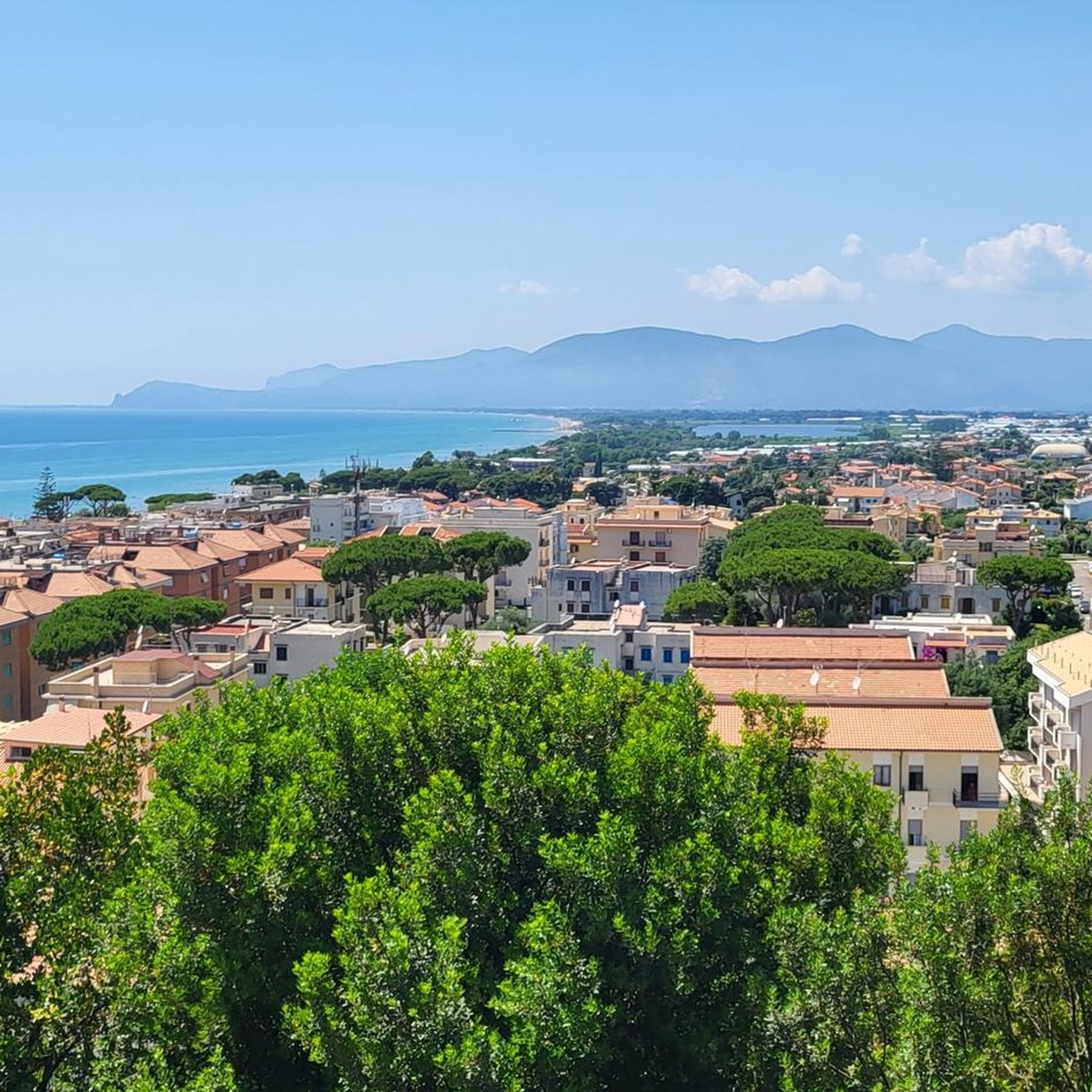


커뮤니티 팁

Overlooking point on the Garigliano river. It can be reached via a stretch of dirt road
1
0

Nice spot at the end of the road for having a bath in the river and camping for one night
2
0

From here it is possible to enjoy a beautiful view of the eastern Aurunci, the Ausente Valley to the sea.
1
0
Most of the trail is part of an old mule track. This was built with reinforcements downstream of boulders and drywall. The start of the mule track is at Passo Bastia.
1
0
Monte Maio is a peak of the Aurunci mountains and is located at a height of 940.2 m.
1
0
Monte Fammera is part of the natural park of the Aurunci Mountains and is located at 1163.1 m.
1
0
카스텔누오보 파라노 주변에서 가장 인기 있는 경로
카스텔누오보 파라노 주변에서 가장 인기 있는 명소


더 살펴보기
다른 지역의 최고의 하이킹를 살펴보세요.
