카파도키아 최고의 러닝 경로
4.3
(3)
651
달리기 하는 사람
44
러닝
카파도키아에서 하이킹하며 라퀼라 구석 부분까지 살펴볼까요? 카파도키아에 있는 모든 하이킹 및 워킹 경로 컬렉션 중 가장 멋진 하이킹 경로를 엄선하여 소개해드릴게요. 다른 하이커가 공유한 실제 팁과 사진을 살펴보고 후기를 읽으며 마음에 드는 카파도키아 워킹 경로를 찾아보세요.
마지막 업데이트: 10월 22, 2026
22
달리기 하는 사람
8.27km
00:53
110m
110m
보통 조깅. 좋은 체력 필요. 대부분 포장된 지면. 실력과 관계없이 누구나 갈 수 있음.
10
달리기 하는 사람
22.3km
03:37
1,340m
1,340m
어려운 조깅. 우수한 체력 필요. 튼튼한 신발을 신고 미끄러지지 않게 조심해야 하며, 높은 산을 오른 경험이 있어야 함.

9
달리기 하는 사람
15.3km
02:13
650m
650m
어려운 조깅. 우수한 체력 필요. 튼튼한 신발을 신고 미끄러지지 않게 조심해야 하며, 높은 산을 오른 경험이 있어야 함.
6
달리기 하는 사람
13.6km
01:42
360m
360m
어려운 조깅. 우수한 체력 필요. 대부분 포장된 지면. 실력과 관계없이 누구나 갈 수 있음.
7
달리기 하는 사람
14.4km
02:19
800m
800m
어려운 조깅. 우수한 체력 필요. 튼튼한 신발을 신고 미끄러지지 않게 조심해야 하며, 높은 산을 오른 경험이 있어야 함.
더 다양한 경로와 다른 탐험가들의 추천을 살펴보세요.
이미 komoot 계정이 있나요?
투어 추천은 다른 사람들이 komoot에서 완료한 수천 개의 활동을 바탕으로 구성되어 있습니다.
오늘 무료 계정으로 시작하세요
다음 모험이 기다리고 있어요.
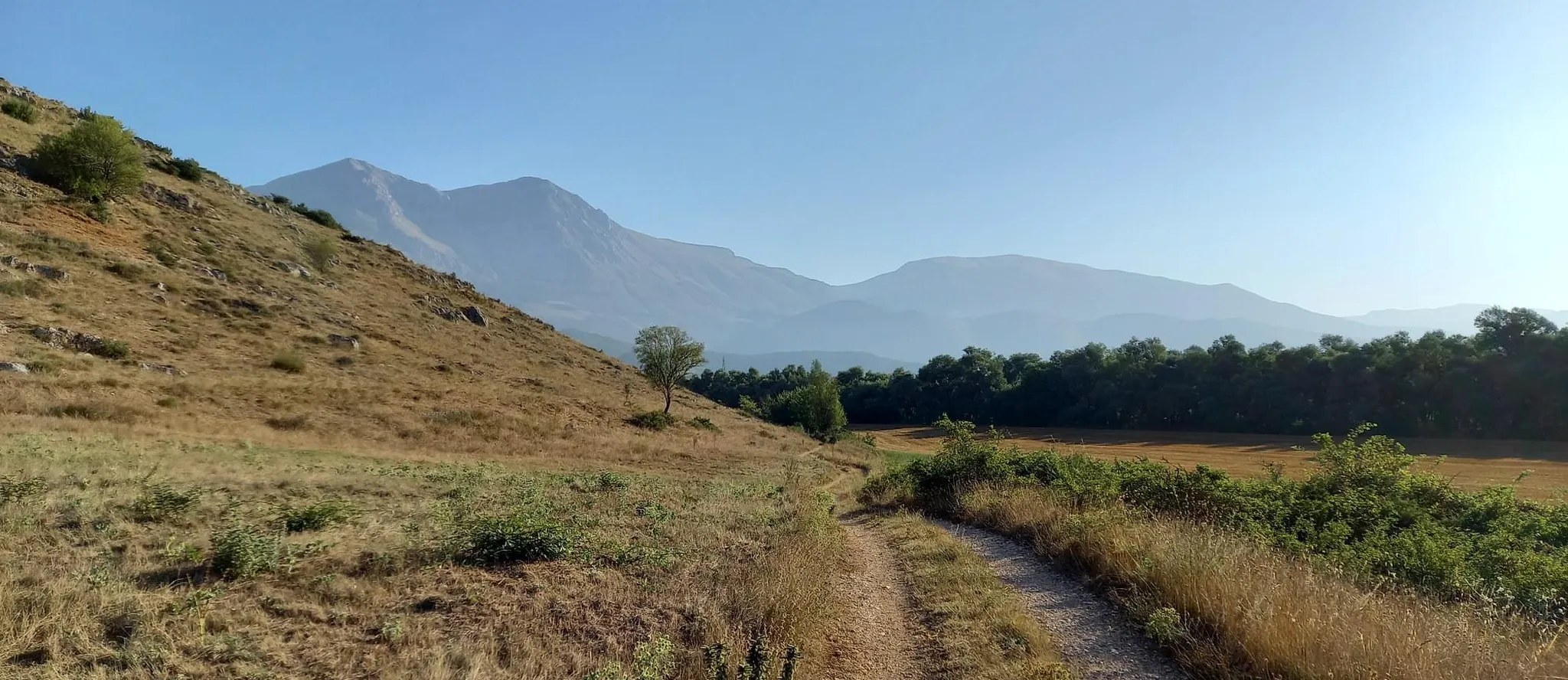
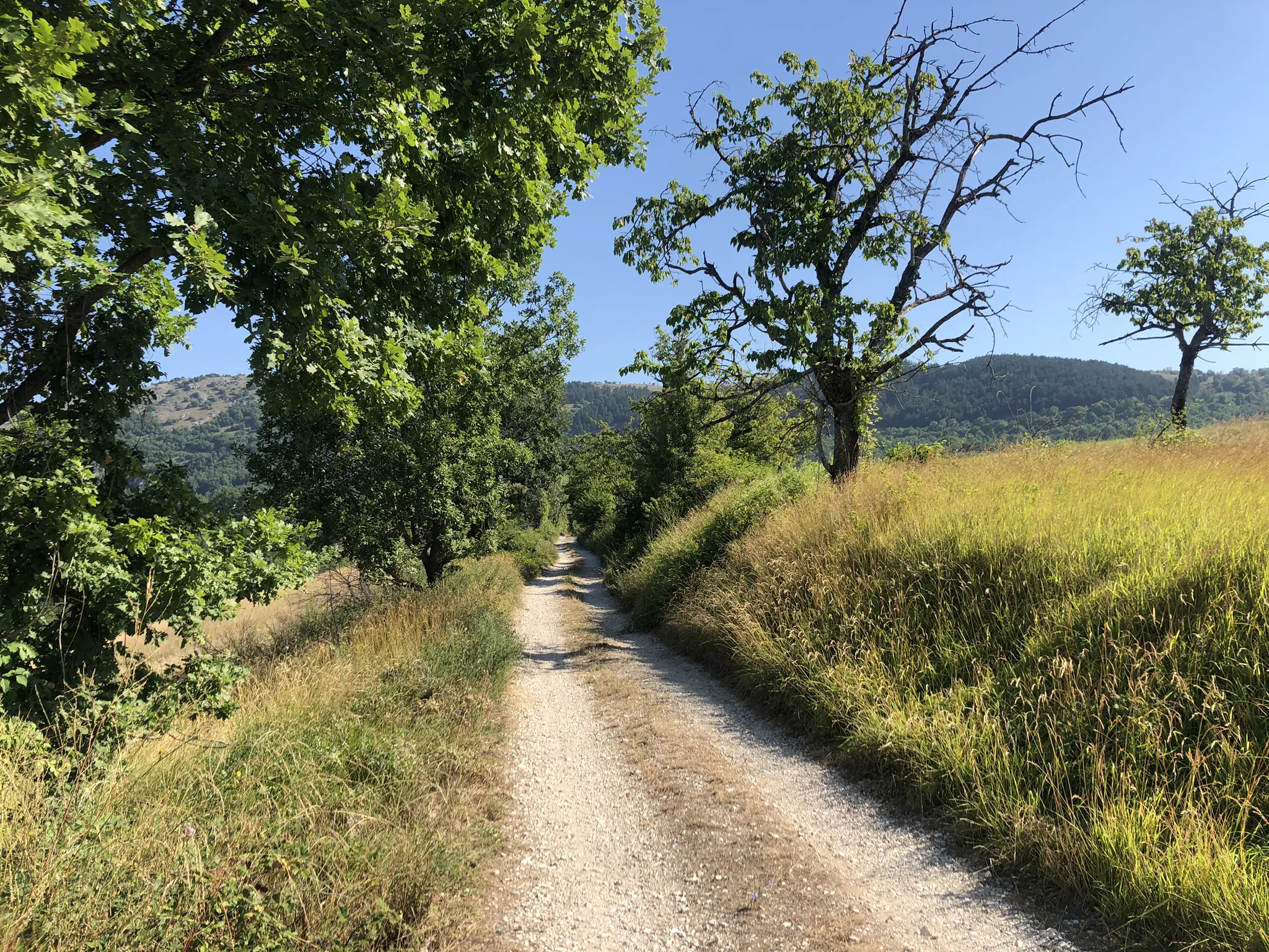
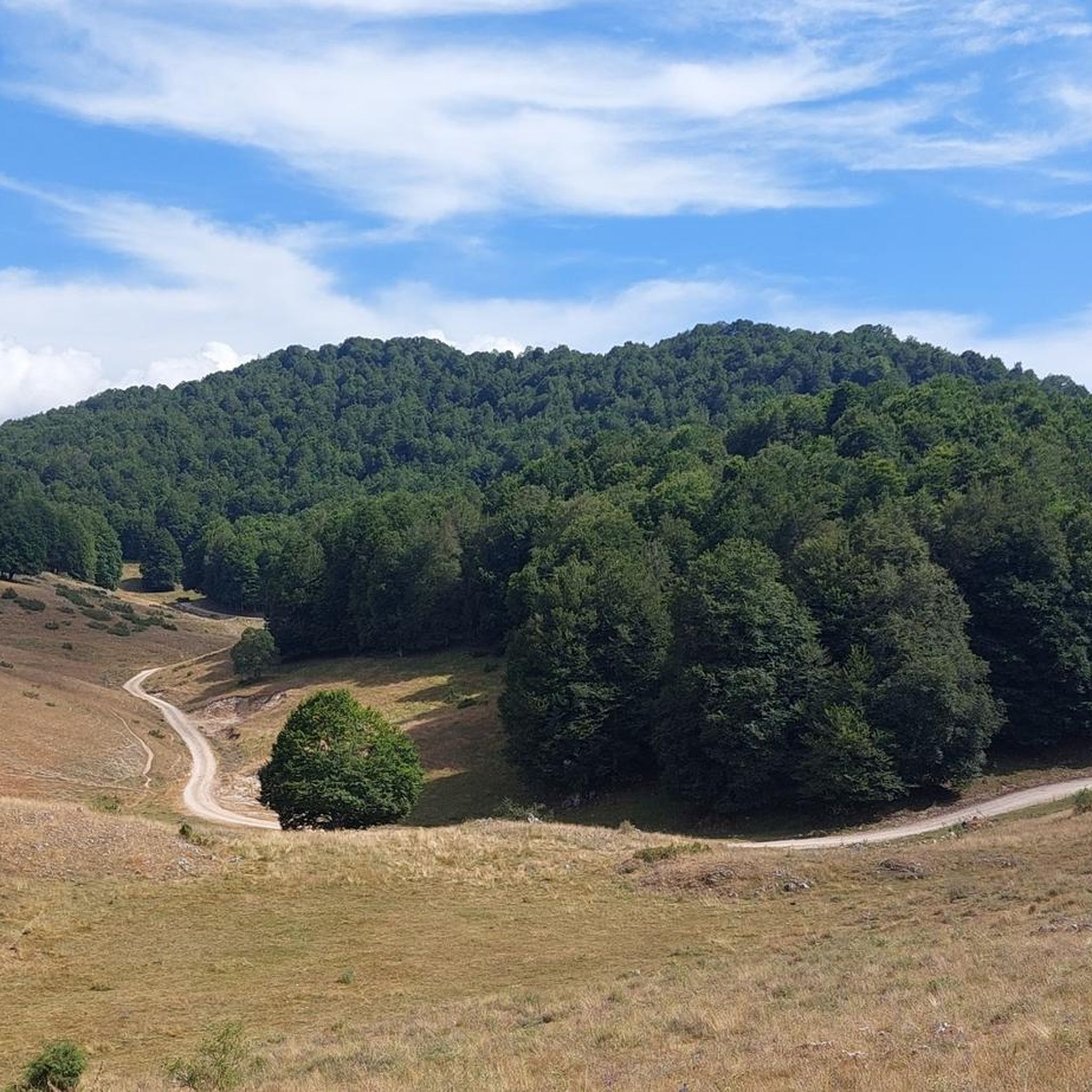



커뮤니티 팁

이곳에서는 산이 스스로를 바라보게 합니다. 그리고 당신이 그것을 바라볼 때, 그것이 당신을 바라보고 있다는 것을 깨닫게 됩니다.
0
0


Panoramic point at about 1750 meters above sea level, important crossroads for singletrack
0
0

A charming little village nestled in the mountains. A must-see!
0
0

Starting from Campo dell'Osso, at an altitude of 1,750 meters, amid cool beech forests and silence broken only by the sound of tires on the ground. After a short initial stretch on a mixed trail, we immediately enter the heart of Cannavacciari, one of the most evocative trails in the Simbruini Mountains Natural Park. The trail winds steadily downhill, technical yet fluid, for 6.2 km, reaching Campo Secco at 1,340 meters. The elevation gain is significant—about 410 meters—but the varied terrain makes it fun and never boring. Fast sections alternate with tight curves, passages over roots, rocks, and some counter-slopes of up to 19%, reminding us that even on descents, you need to be strong. Every curve offers glimpses of the forest, shady sections, and the scent of pristine nature. The Cannavacciari trail has a touch of the ancient past: it's said to have been a link once used by charcoal burners and shepherds, and today it's beloved by mountain bike enthusiasts for its wild and authentic feel. The trail isn't always marked, so GPS is strongly recommended. Once you reach Campo Secco, an intense experience comes to an end, where every meter has been earned with technique and attention. A must for those who love natural, uncontrived enduro.
0
0

Very beautiful, but be careful with the loose gravel base.
0
0

Vallepietra is a small village nestled in the Simbrivio River valley. The view from the village is exceptional: the wooded peak of Mount Autore, the rocky walls of the Santissima Trinità sanctuary, and the narrow valley carved out by the river.
0
0
The Simbruini Mountains plateau is a crossroads for interesting and varied trails. Cycling on this plateau, you can take advantage of its connection to a wide variety of destinations, including Livata, Campaegli, Vedute, Cervara, and Fioio. The only drawback is the lack of fountains.
0
0
카파도키아 주변에서 가장 인기 있는 명소


더 살펴보기
다른 지역의 최고의 러닝 트레일 & 경로를 살펴보세요.
