아브루초 최고의 러닝 경로
4.3
(550)
33,615
달리기 하는 사람
1,611
러닝
아브루초에서 하이킹하며 이탈리아 구석 부분까지 살펴볼까요? 아브루초에 있는 모든 하이킹 및 워킹 경로 컬렉션 중 가장 멋진 하이킹 경로를 엄선하여 소개해드릴게요. 다른 하이커가 공유한 실제 팁과 사진을 살펴보고 후기를 읽으며 마음에 드는 아브루초 워킹 경로를 찾아보세요.
마지막 업데이트: 10월 10, 2026
5.0
(1)
112
달리기 하는 사람
29.6km
05:56
1,860m
1,860m
The Tre Rifugi SkyRace – Ultra Trail Gran Sasso is a truly difficult jogging route, designed for experienced trail runners who crave a demanding alpine adventure. This trail covers 18.4…
5.0
(3)
53
달리기 하는 사람
20.4km
04:11
1,660m
1,660m
Embark on the Gran Sasso SkyRace, a difficult jogging route that plunges you into the wild alpine landscapes of the Gran Sasso and Monti della Laga National Park. You will…

4.0
(1)
62
달리기 하는 사람
12.2km
01:21
160m
160m
Embark on the La Val d'Arano loop run from Ovindoli, a moderate jogging route that covers 7.6 miles (12.2 km) with a gentle elevation gain of 525 feet (160 metres).…
5.0
(3)
36
달리기 하는 사람
6.80km
01:23
400m
400m
This difficult jogging loop from Campo Imperatore takes you on a 4.2-mile (6.8 km) journey through the high-mountain scenery of the Gran Sasso d'Italia massif. You will gain 1329 feet…
3.0
(1)
47
달리기 하는 사람
4.71km
00:29
30m
30m
Start your jogging adventure around the heart-shaped Lake Scanno, where emerald waters mirror the surrounding green forests. This easy 2.9-mile (4.7 km) loop offers a refreshing run, with only 100…
5.0
(3)
48
달리기 하는 사람
12.2km
01:16
60m
60m
Embark on the Altopiano delle Rocche Trail, a moderate jogging route that stretches for 7.6 miles (12.2 km) across a scenic high plateau. You will gain 203 feet (62 metres)…
5.0
(1)
39
달리기 하는 사람
9.05km
02:15
930m
930m
The Monte Camicia and Monte Tremoggia loop tour is a difficult jogging route in the Gran Sasso d'Italia massif, offering exceptional panoramic views. This demanding 5.6 miles (9.1 km) loop…
27
달리기 하는 사람
11.2km
01:21
300m
300m
Get ready for a challenging jogging experience on the Assergi - San Pietro della Ienca Loop. This difficult route covers 7.0 miles (11.2 km) and demands a significant climb of…
5.0
(3)
23
달리기 하는 사람
8.55km
00:55
60m
50m
Embark on the Tour of Lake Barrea — Ring Tour, a scenic jogging route that offers continuous picturesque views of Lake Barrea and its surrounding mountains. This moderate 5.3-mile (8.5…
4.0
(1)
17
달리기 하는 사람
12.1km
02:08
690m
690m
Embark on the Monte Portella Loop from Campo Imperatore for a difficult jogging experience across a high-altitude plateau. This demanding route covers 7.5 miles (12.1 km) and involves a significant…
더 다양한 경로와 다른 탐험가들의 추천을 살펴보세요.
이미 komoot 계정이 있나요?
투어 추천은 다른 사람들이 komoot에서 완료한 수천 개의 활동을 바탕으로 구성되어 있습니다.
오늘 무료 계정으로 시작하세요
다음 모험이 기다리고 있어요.
아브루초 주변 인기 장소
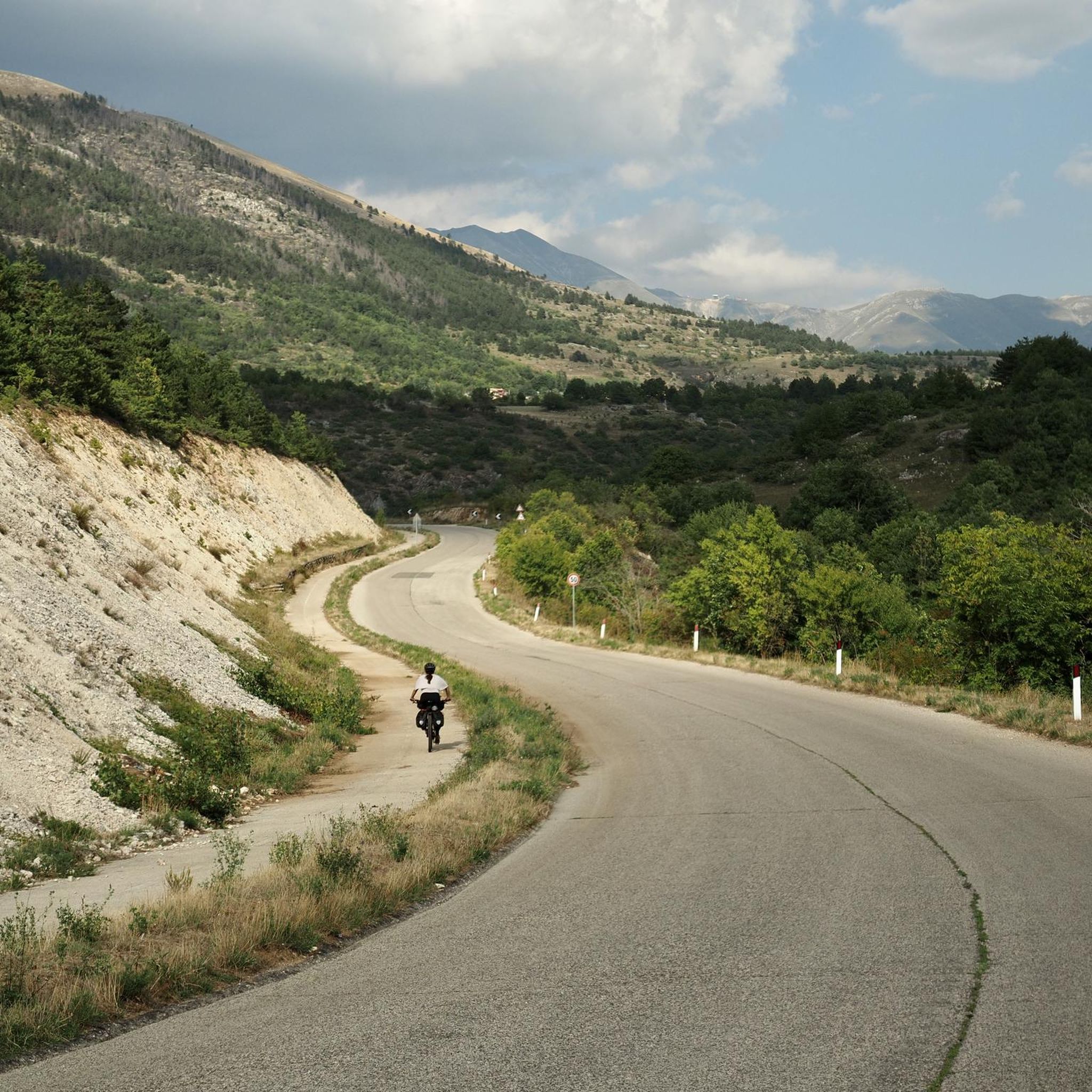
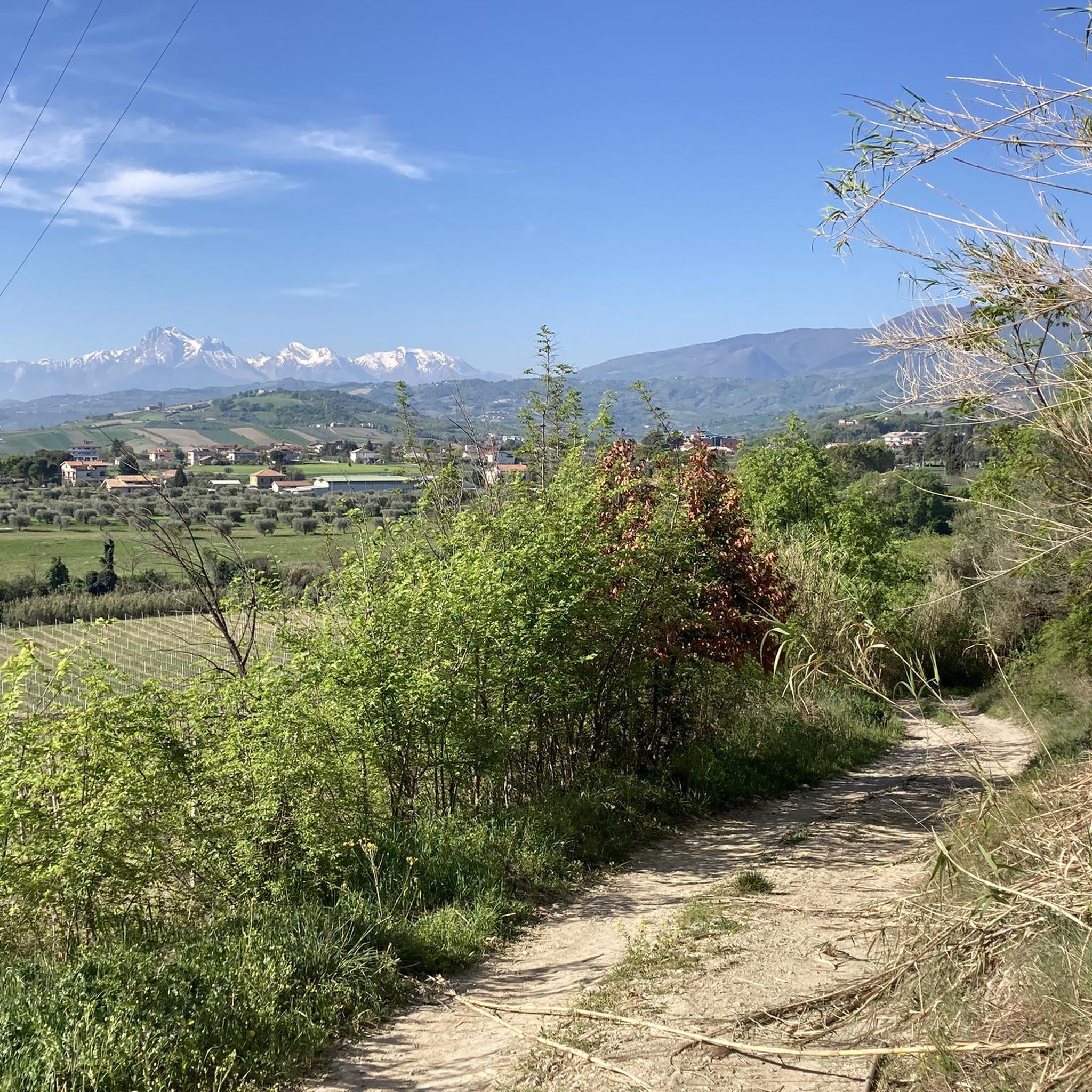
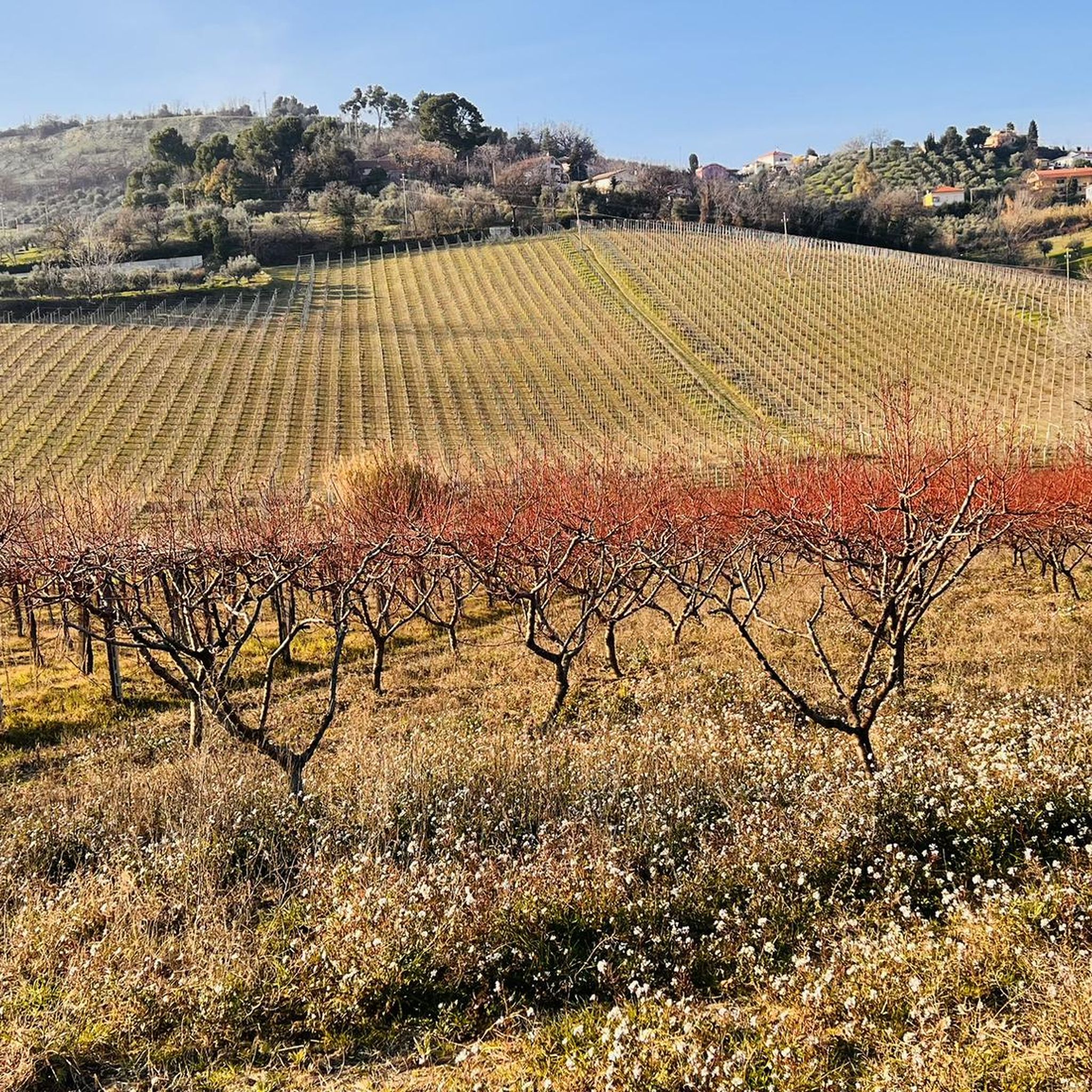
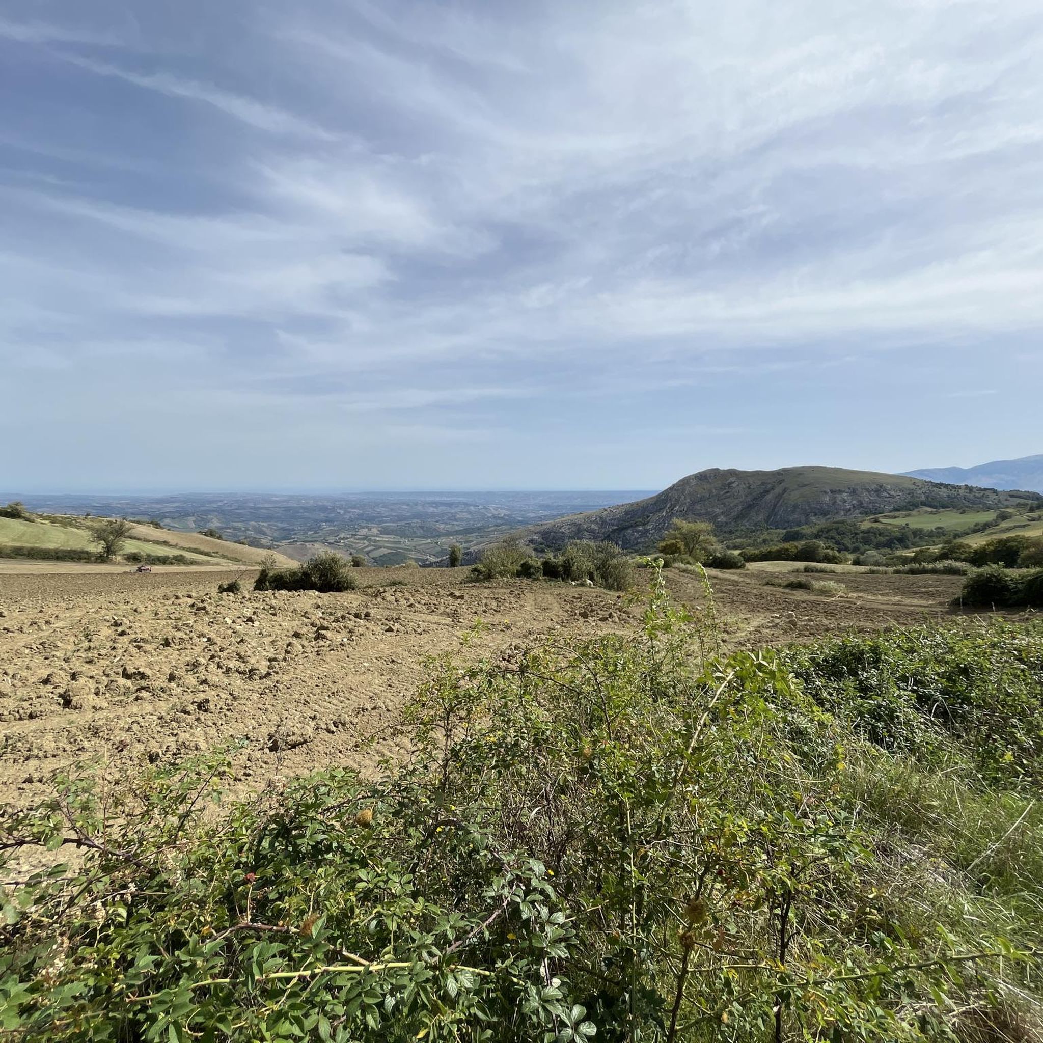
아브루초의 다른 모험


커뮤니티 팁

캄포 임페라토레 호텔 또는 바도 디 코르노에서 쉽게 도달할 수 있는 정상. 고산 하이킹의 세계에 처음 입문하는 사람들에게 적합합니다.
0
0

어느 쪽에서 보든 정말 멋진 돌입니다!
0
0

영업시간, 올라가기 전에 알아두면 항상 편리합니다! Rifugio Duca degli Abruzzi는 여름 시즌 동안 매일 운영됩니다. 영업시간 및 시즌은 다음과 같이 운영됩니다: 여름 시즌 (연중무휴) 기간: 6월 15일부터 9월 말까지 산장은 매일 쉬지 않고 운영됩니다. 낮 시간 (주방/바): 일반적으로 오전 8시 30분부터 오후 5시까지 음료, 간식, 점심 식사를 즐기실 수 있습니다. 숙박: 숙박을 미리 예약하신 경우, 저녁 식사를 하실 수 있습니다. 가을, 겨울 및 봄 (제한적 운영) 기간: 10월부터 5월까지. 운영 요일: 산장은 원칙적으로 주말(금요일 저녁부터 일요일 오후까지)에만 운영되며, 날씨와 눈 상태가 안전을 허락하는 경우에 한합니다. 폐쇄: 종종 11월에는 혹독한 겨울의 시작으로 인해 산장이 완전히 폐쇄됩니다. 알아두면 좋은 점: 산장이 거의 2400미터 높이에 위치해 있기 때문에 영업시간은 항상 날씨에 따라 달라집니다. 심한 폭풍, 짙은 안개 또는 갑작스러운 눈이 내릴 경우 산장이 예기치 않게 문을 닫을 수 있습니다. 관리인이 있는지 확실히 알고 싶거나 잠잘 곳을 예약하고 싶으신가요? 공식 CAI 예약 플랫폼을 통해 현재 상태를 확인하거나 +39 388 186 7703으로 관리인에게 직접 연락하십시오.
7
0
Rifugio Duca degli Abruzzi는 Monte Portella 해발 2,388미터에 위치하며 Gran Sasso 산맥의 가장 아름다운 전망대 중 하나입니다. 1908년 이탈리아 산악 클럽 CAI에 의해 지어진 이 산장은 유명한 탐험가이자 등반가인 Luigi Amedeo of Savoy의 이름을 따서 명명되었습니다. 테라스에서는 Campo Imperatore 고원, 아펜니노 산맥에서 가장 높은 봉우리인 2,912미터의 Corno Grande, 그리고 험준한 Val Maone의 장엄한 360° 파노라마를 감상할 수 있습니다. 산장까지의 비교적 짧은 하이킹은 즉시 진정한 고산의 느낌을 선사하며 점심이나 에스프레소를 위한 이상적인 중간 기착지이지만, 더 도전적인 등반을 위한 출발점이기도 합니다. 역사적 사실: 산장 바로 아래에는 1943년 베니토 무솔리니가 수감되었던 Hotel Campo Imperatore가 있습니다. 그는 이 주변에서 아펜니노 산맥의 끝없는 봉우리들을 바라보았고, 극적인 독일 구조 작전인 Operation Eik 중에 글라이더로 구출되었습니다. 인상적인 자연, 산악 스포츠 역사, 그리고 제2차 세계 대전의 특별한 장이 결합된 이곳은 Rifugio Duca degli Abruzzi 방문을 더욱 기억에 남게 만듭니다.
8
0

Given the steepness, trekking poles are recommended.
0
0

A summer and winter tourist resort in the province of Teramo. Located above the village of Pietracamela. From the Prati di Tivo square, at an altitude of 1,450 meters, a four-seater chairlift and a two-seater chairlift ascend to Arapietra, 2,000 meters above sea level.
0
0

A Classic from Campo Imperatore, I recommend excursions even for those who are new to the area, beautiful panorama
0
0

Rifugio Garibaldi is located in Campo Pericoli, in the heart of Gran Sasso. It is a historic refuge, currently undergoing renovation. A room for emergency bivouac is always available. The reopening should be scheduled for the summer season of 2025, but I recommend contacting CAI l'Aquila for updated information: https://cailaquila.it/rifugi-e-bivacchi-cai-laquila/rifugio-giuseppe-garibaldi-loc-campo-pericoli/
3
0


더 살펴보기
다른 지역의 최고의 러닝 트레일 & 경로를 살펴보세요.
