세인트 엘리아스 산맥 최고의 워킹 & 하이킹 경로
4.7
(96)
751
등산객
15
하이킹
세인트 엘리아스 산맥에서 하이킹하며 유콘 구석 부분까지 살펴볼까요? 세인트 엘리아스 산맥에 있는 모든 하이킹 및 워킹 경로 컬렉션 중 가장 멋진 하이킹 경로를 엄선하여 소개해드릴게요. 다른 하이커가 공유한 실제 팁과 사진을 살펴보고 후기를 읽으며 마음에 드는 세인트 엘리아스 산맥 워킹 경로를 찾아보세요.
마지막 업데이트: 10월 13, 2026
4.9
(10)
114
등산객
10.1km
03:21
480m
480m
보통 하이킹. 좋은 체력 필요. 실력과 관계없이 누구나 쉽게 갈 수 있는 길.
4.9
(11)
79
등산객
7.75km
02:11
170m
170m
Hike the moderate 4.8-mile Saint Elias Lake Trail in Kluane National Park, gaining 543 feet to a scenic lake nestled among mountains.

4.9
(11)
79
등산객
7.75km
02:11
170m
170m
보통 하이킹. 좋은 체력 필요. 실력과 관계없이 누구나 쉽게 갈 수 있는 길.
4.5
(4)
47
등산객
14.0km
08:03
1,260m
1,260m
어려운 하이킹. 우수한 체력 필요. 튼튼한 신발을 신고 미끄러지지 않게 조심해야 하며, 높은 산을 오른 경험이 있어야 함.
4.0
(1)
10
등산객
14.1km
04:03
330m
330m
Hike the moderate 8.8-mile Alsek River Valley Trail in Kluane National Park, offering glacial views and wildlife spotting.
5.0
(1)
4
등산객
2.31km
00:47
120m
120m
초급용 하이킹. 모든 체력 수준에 적합. 실력과 관계없이 누구나 쉽게 갈 수 있는 길.
3
등산객
1.24km
00:24
60m
60m
초급용 하이킹. 모든 체력 수준에 적합. 실력과 관계없이 누구나 쉽게 갈 수 있는 길.
13.0km
03:54
440m
440m
보통 하이킹. 좋은 체력 필요. 실력과 관계없이 누구나 쉽게 갈 수 있는 길.
32.4km
08:37
330m
330m
어려운 하이킹. 우수한 체력 필요. 실력과 관계없이 누구나 쉽게 갈 수 있는 길.
4.8
(9)
114
등산객
7.71km
03:50
550m
550m
어려운 하이킹. 좋은 체력 필요. 튼튼한 신발을 신고 미끄러지지 않게 조심해야 하며, 높은 산을 오른 경험이 있어야 함.
더 다양한 경로와 다른 탐험가들의 추천을 살펴보세요.
이미 komoot 계정이 있나요?
투어 추천은 다른 사람들이 komoot에서 완료한 수천 개의 활동을 바탕으로 구성되어 있습니다.
오늘 무료 계정으로 시작하세요
다음 모험이 기다리고 있어요.
세인트 엘리아스 산맥 주변 인기 장소



커뮤니티 팁

이 트레일 구간은 유콘의 야생 속으로 더욱 깊이 빠져들게 합니다. 언덕 두 개 사이를 지나면 호수가 여러분을 기다리고 있습니다. 완벽한 웰빙의 느낌입니다.
0
0
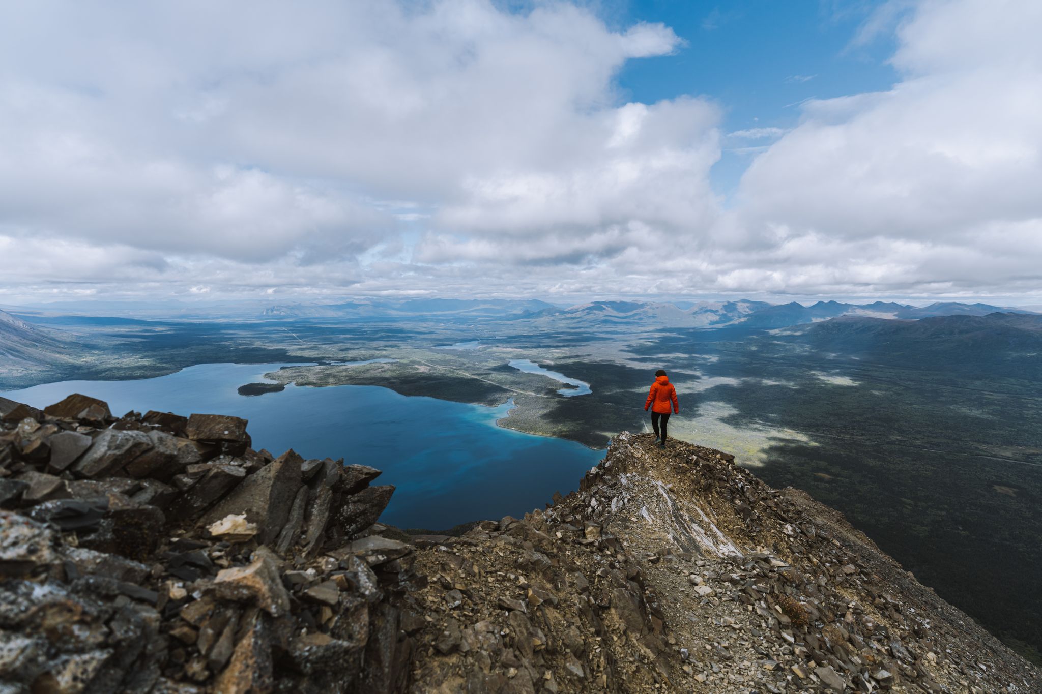
이 파노라마는 같은 이름의 국립공원 스타인 클루아네 호수로 향하는 커다란 창을 열어줍니다. 삼림 한계선 바로 위에서, 세인트 엘리아스 산맥의 또 다른 산맥을 배경으로 탁 트인 넓은 전망을 즐길 수 있습니다.
0
0
이곳으로 오는 데 이용하신 Haines Road에서 보이는 King's Throne Peak은 호수 위로 1,250미터 솟아 있습니다. 정상에서는 Dalton Pass 전체, Kluane 호수, Saint Elias 산맥을 감상할 수 있습니다. 파노라마는 노력에 걸맞게 강렬하고 장관입니다.
0
0

This viewpoint with benches and a fire pit marks the official end of the Rock Glacier Trail. Although the trail ends here, some continue climbing up the rock glacier along an undefined trail. Only attempt this if you have proper footwear, and are prepared for loose rocks and some scrambling. Otherwise, this is a great spot to stop, relax and take in the view before turning around.
1
0
This trailhead sits at the west end of Haines Road and has parking and access to Rock Glacier Trail. The trail starts along a raised boardwalk through a marsh, and then starts a climb along rockier terrain along a rock glacier. There are interpretive panels along the trail with information about the rock glacier and its surrounding area.
0
0

The Saint Elias Lake Trail takes you on a journey through stunning Yukon wilderness, winding through forest and rocky ridges before reaching the tranquil waters of Saint Elias Lake. Along the way, you’ll be surrounded by towering peaks, the crisp, clean air of the Yukon backcountry, and wildflowers during summer. It’s a challenging yet rewarding hike, each step upward brings broader views, culminating in a sweeping panorama at the lake that makes the effort truly worthwhile.
0
0
세인트 엘리아스 호수는 세인트 엘리아스 산맥 내에 자리한 알프스의 보석입니다. 수정처럼 맑은 물은 주변 봉우리를 완벽하게 반영하여 놀랍고 때묻지 않은 장면을 연출합니다.
0
0
The Alsek Valley is one of those rare places where the landscape feels untouched and endless. Framed by the towering peaks of the St. Elias Range, the valley stretches toward the horizon with braided rivers, glacier-fed lakes, and wide tundra plains that glow with color in summer. Hiking here means stepping into true wilderness, where silence fills the air and every turn reveals another sweeping view. It’s a place to slow down, breathe deeply, and feel the vastness of the Yukon all around you. The trail that winds through the valley extends for about 25 km one way, so you can hike as far as you like, just make sure to plan according to daylight and conditions. If you plan to camp overnight, a backcountry permit from Kluane National Park is required.
0
0
세인트 엘리아스 산맥에서 가장 인기 있는 경로
세인트 엘리아스 산맥에서 가장 인기 있는 명소


더 살펴보기
다른 지역의 최고의 하이킹를 살펴보세요.
