15의 세인트 엘리아스 산맥가지 명소 & 주요 장소
세인트 엘리아스 산맥에는 둘러볼 만한 장소가 많답니다. 하이킹 또는 사이클링을 좋아한다면 세인트 엘리아스 산맥에 숨겨진 15
가지 보석을 만날 수 있을 거예요. 이 지역의 주요 명소를 살펴보면서 다음 모험을 계획해보세요.
마지막 업데이트: 8월 31, 2026
Auriol 트레일
하이라이트 (구간) • 트레일
번역자 Google •
팁에 의해

킹스 스론
하이라이트 • 정상
parks.canada.ca/pn-np/yt/kluane/activ/randonnee-hiking/kings-throne
번역자 Google •
팁에 의해
이런 장소를 발견하려면 지금 가입하세요
최고의 싱글 트랙, 봉우리 및 다양한 흥미로운 야외 장소에 대한 추천을 받아보세요.
캐슬린 호수 (Mät’àtäna Män)
하이라이트 • 호수
parks.canada.ca/pn-np/yt/kluane/visit/services/kathleen
번역문 보기
팁에 의해
클루아네 호수 전망
하이라이트 • 전망대
번역문 보기
팁에 의해

Kaskawulsh 빙하
하이라이트 • 자연 기념물
번역문 보기
팁에 의해
킹스 스론 트레일
하이라이트 (구간) • 트레일
parks.canada.ca/pn-np/yt/kluane/activ/randonnee-hiking/kings-throne
번역자 Google •
팁에 의해

Sheep Creek 트레일
하이라이트 • 트레일
수목 한계선 바로 위까지 이어지며 운이 좋으면 달 양을 볼 수 있습니다.
번역문 보기
팁에 의해

Spruce Beetle Trail
하이라이트 (구간) • 트레일
번역자 Google •
팁에 의해
무료로 가입하여 세인트 엘리아스 산맥의 더 많은 명소를 발견하세요.
이미 komoot 계정이 있나요?
오늘 무료 계정으로 시작하세요
다음 모험이 기다리고 있어요.



커뮤니티 팁

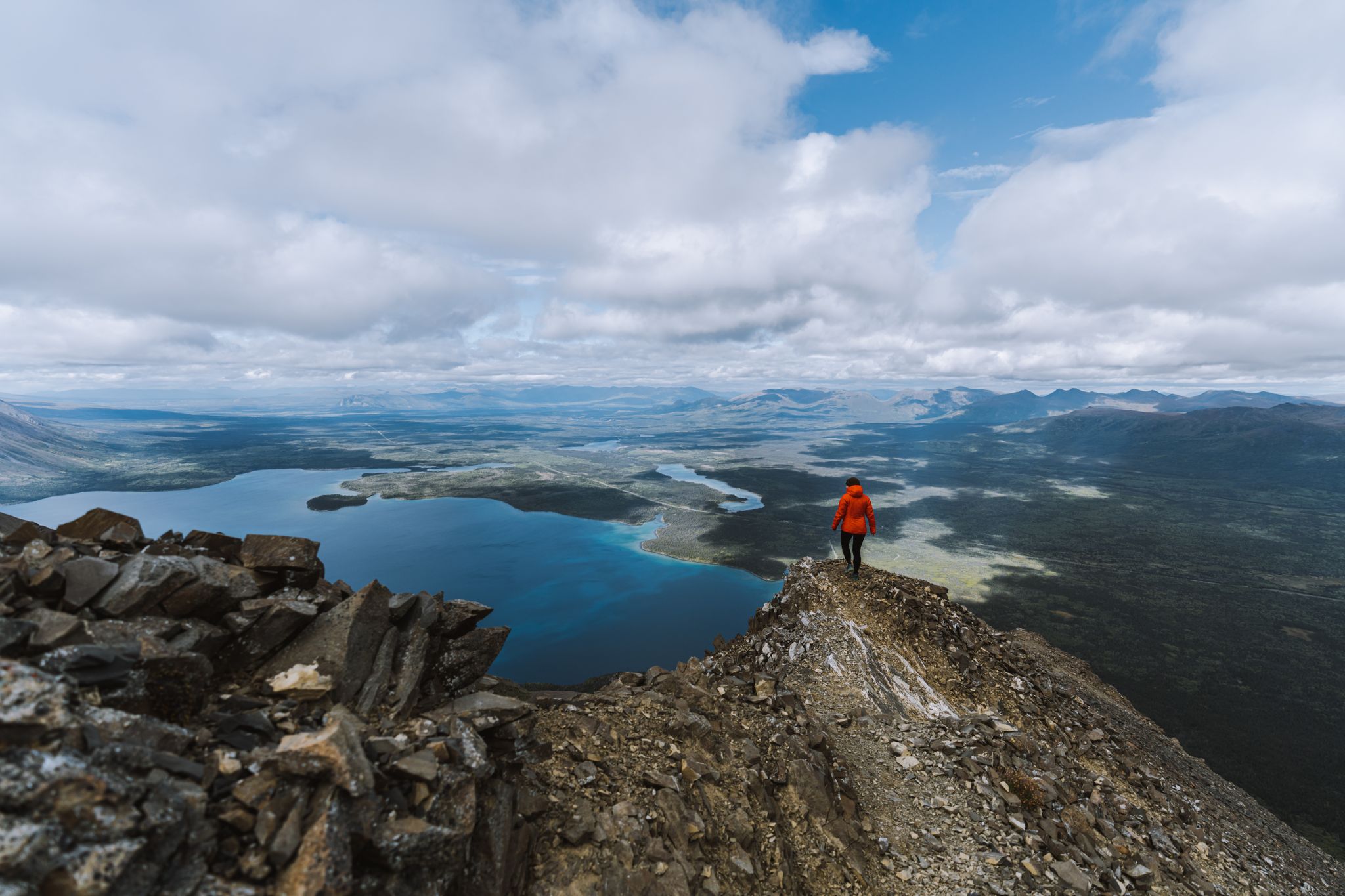
이 파노라마는 같은 이름의 국립공원 스타인 클루아네 호수로 향하는 커다란 창을 열어줍니다. 삼림 한계선 바로 위에서, 세인트 엘리아스 산맥의 또 다른 산맥을 배경으로 탁 트인 넓은 전망을 즐길 수 있습니다.
0
0

You could spend hours strolling along the shore of this large, beautiful lake, with new views opening up time and time again. Unfortunately, the adjacent trails were closed due to bears.
0
0
A wonderful trail through stunning scenery with views of the mountains and, at the end, Haines Junction. Bear territory!
0
0


이 하이킹은 놓치지 마세요. 수목 한계선 바로 위까지 이어지며 운이 좋으면 달 양을 볼 수 있습니다.
1
0

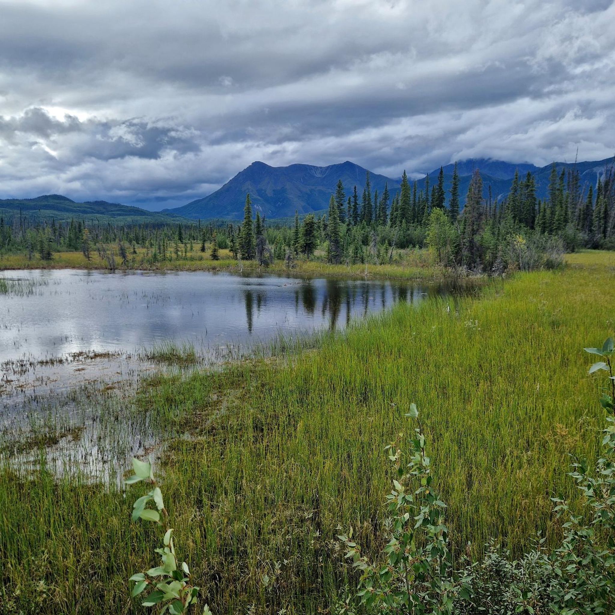
The trailhead of the Auriol Trail is just off the Haines Highway, 7 km south of Haines Junction. The well-trodden path leads through a mixed boreal coniferous forest (cold-temperate forest) with a slight incline. Further up, the circular hike goes through wetlands with small lakes to the sub-alpine zone, where you have a wonderful view of the mountains of the 'Auriol Range', especially the peaks of 'Mount Martha Black'. The trail is marked - with kilometer information. In spring you have to reckon with deep snow conditions on the path when descending on the west side. https://parks.canada.ca/pn-np/yt/kluane/activ/randonnee-hiking/auriol
2
0
The Spruce Beetle Trail trailhead is just off the Alaska Highway, 11 miles northwest of Haines Junction. The trail is an educational trail about the life cycle of the Spruce Beetle (bark beetle on spruce trees in Canada) and its impact on Yukon forests. https://parks.canada.ca/pn-np/yt/kluane/activ/randonnee-hiking/dendoctrone-epinette-spruce-beetle
1
0
‘Kaskawulsh Glacier‘는 ‘St. Elias Mountain Range‘에 있는 거대한 빙하입니다. 39,000km2 이상의 면적을 덮고 있으며, 폭이 6km 이상인 두 개의 합류하는 출구 빙하로 구성되어 있습니다. 빙하수는 Slims River와 Kaskawulsh River의 두 큰 강 계곡으로 흘러 들어갑니다. 그러나 빙하의 후퇴로 인해 2016년 봄부터는 Slims River로 흘러 들어가는 녹은 물의 양이 적습니다.
2
0
세인트 엘리아스 산맥에서 가장 인기 있는 경로
세인트 엘리아스 산맥에서 가장 인기 있는 명소


더 살펴보기
찾고 있는 하이라이트를 아직 못 찾으셨나요? 다른 지역의 주요 명소 가이드를 확인해보세요:
