포르나스에서 가장 멋진 8개의 산길
포르나스에서 가장 멋진 산길을 아래에서 살펴보세요. 풍경을 감상하기에도 좋고, 오르막길/내리막길을 따라 걷기에도 좋은 곳이랍니다. 커뮤니티가 특별 도움을 통해 공유한 콘텐츠인 만큼 믿을 수 있는 정보이니 마음에 드는 산길이 있다면 바로 다음 모험 계획에 추가해서 바로 방문해보세요.
마지막 업데이트: 10월 13, 2026

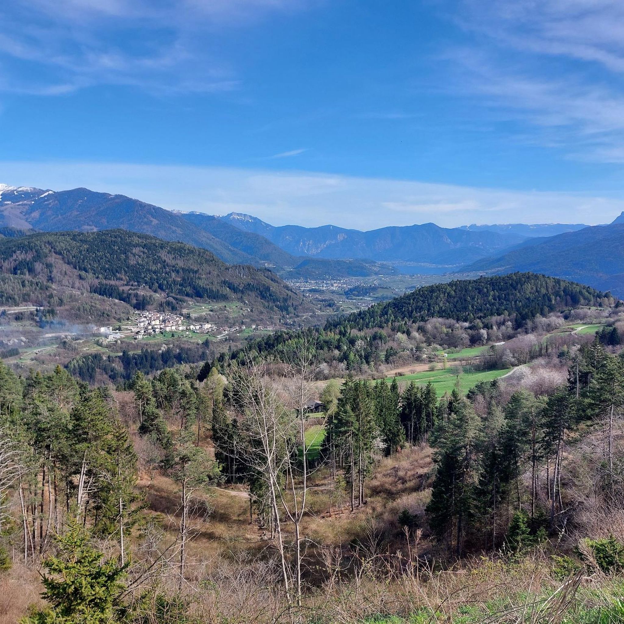
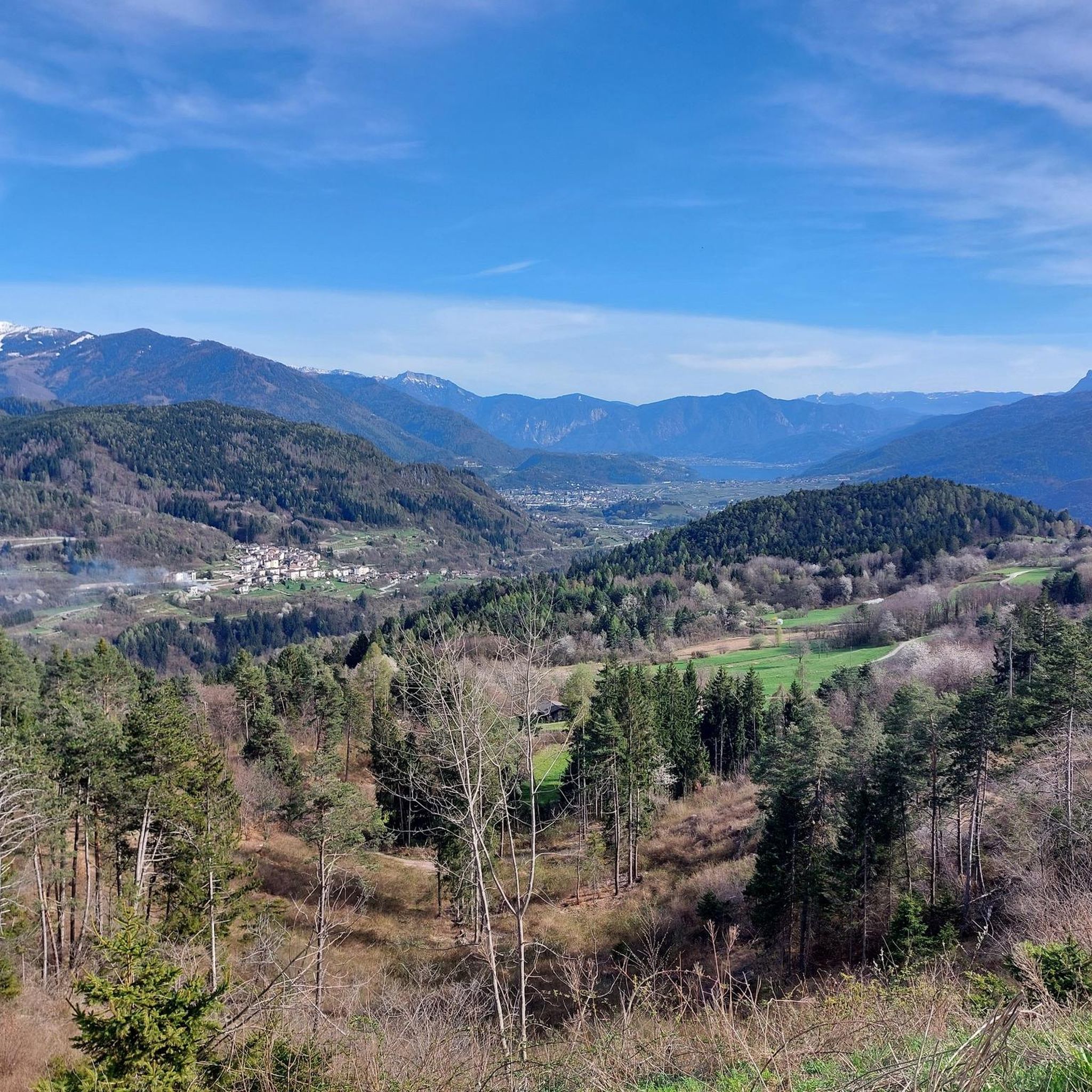
Strada di Valico della Valsugana
하이라이트 • 산악 고개
번역자 Google •
팁에 의해

이런 장소를 발견하려면 지금 가입하세요
최고의 싱글 트랙, 봉우리 및 다양한 흥미로운 야외 장소에 대한 추천을 받아보세요.
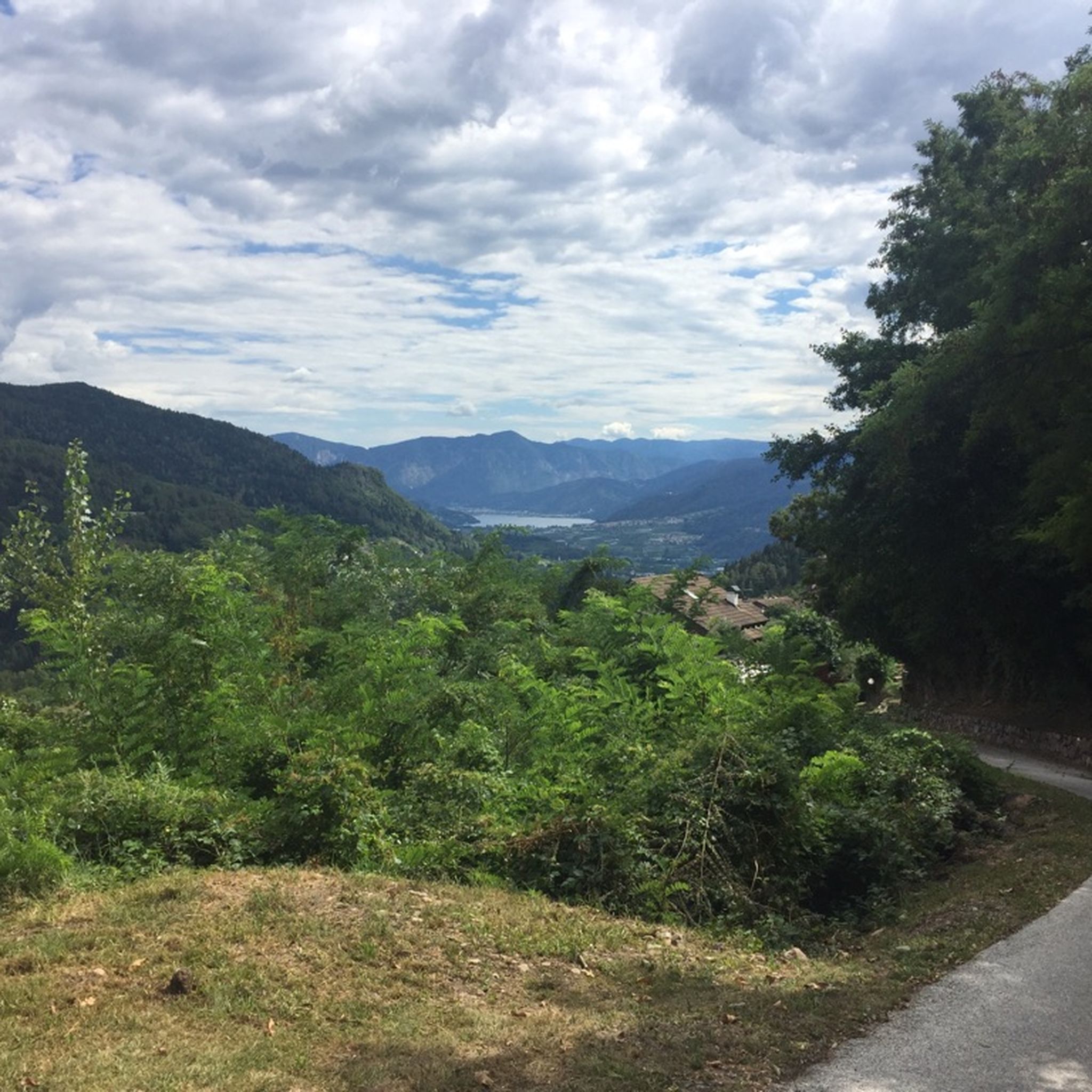
레데부스 고갯길
하이라이트 (구간) • 산악 고개
Nice little quiet street, a nice restaurant on the pass.
Region with a very interesting history.
More information: quaeldich.de/paesse/passo-del-redebus and de.wikipedia.org/wiki/Fersental
번역자 Google •
팁에 의해

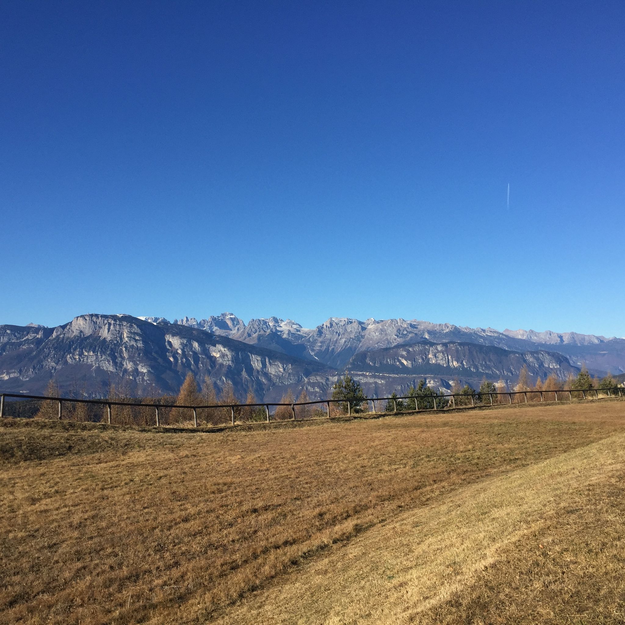
트렌토의 비아 델레 만돌라레에서 몬테 본도네로 오르기
하이라이트 (구간) • 등반
번역자 Google •
팁에 의해

레비코 테르메에서 치마 파나로타로 오르기
하이라이트 (구간) • 등반
번역자 Google •
팁에 의해
무료로 가입하여 포르나스 주변의 더 많은 산악 고개를 발견하세요.
이미 komoot 계정이 있나요?
오늘 무료 계정으로 시작하세요
다음 모험이 기다리고 있어요.


커뮤니티 팁


Be careful, the road is narrow.
0
0

Trento Bondone is always a nice climb, better to do it when you are a bit trained
0
0

The panoramic climb to Cima Panarotta is a long and steady climb from Valsugana, exceeding 1700 meters and passing through the Passo del Compet. The gradients are generally regular but the overall difference in altitude is considerable (about 1200 m), requiring good resistance. It offers magnificent views of the lakes and surrounding mountains.
1
0
The climb to Monte Bondone from Trento, starts from Via delle Mandolare and leads up to about 1650 m of Vason. The route is about 17 km long for 1400 meters of altitude difference with a high average gradient of about 8%. It is a long and challenging climb with a view of the city.
0
0

The Redebus is recommended from the Val dei Mocheni, as it is already at a sufficient altitude starting from the crossroads. From Pinè, however, it is about 5/6 km of torture with slopes always in double figures and peaks around 15%. Good asphalt. Little traffic.
0
1

Few cars, very easy to drive. Always great views of the valley!
1
1

The pass connects the Adige valley with the upper Valsugana and there are several itineraries in the area
0
0
포르나스 주변에서 가장 인기 있는 명소


더 살펴보기
이 가이드를 통해 더 많은 장대한 산악 통과를 확인해보세요 포르나스 주변:
