클루손에서 가장 멋진 20개의 산길
클루손에서 가장 멋진 산길을 아래에서 살펴보세요. 풍경을 감상하기에도 좋고, 오르막길/내리막길을 따라 걷기에도 좋은 곳이랍니다. 커뮤니티가 특별 도움을 통해 공유한 콘텐츠인 만큼 믿을 수 있는 정보이니 마음에 드는 산길이 있다면 바로 다음 모험 계획에 추가해서 바로 방문해보세요.
마지막 업데이트: 10월 13, 2026
포르첼라 라르가의 테르조 밀레니오 종
하이라이트 • 기념물
번역자 Google •
팁에 의해


이런 장소를 발견하려면 지금 가입하세요
최고의 싱글 트랙, 봉우리 및 다양한 흥미로운 야외 장소에 대한 추천을 받아보세요.


오늘 무료 계정으로 시작하세요
다음 모험이 기다리고 있어요.


커뮤니티 팁

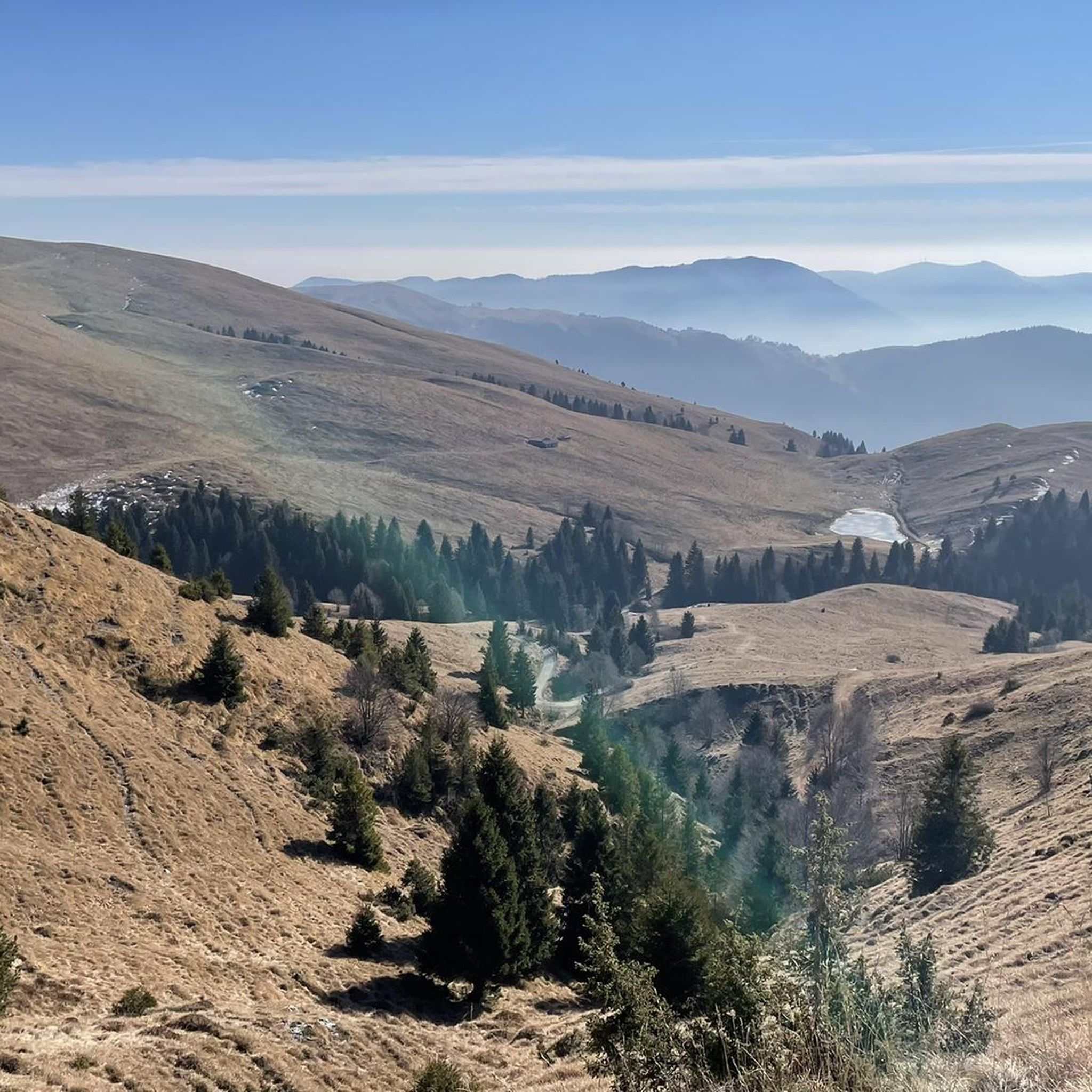
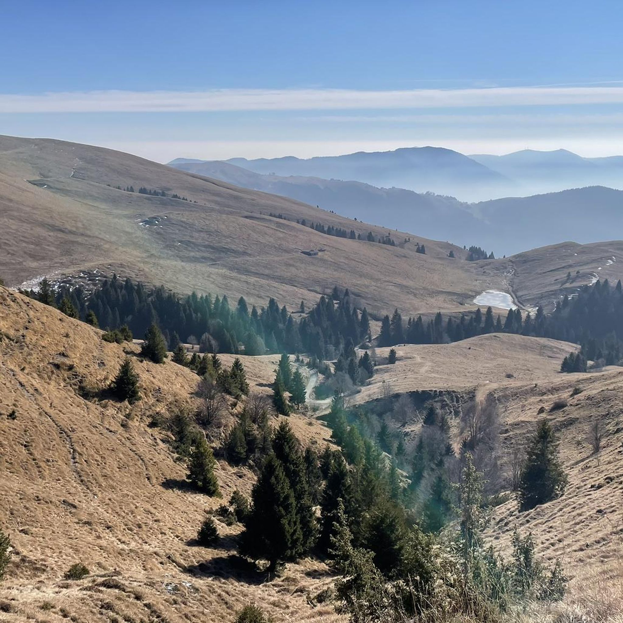
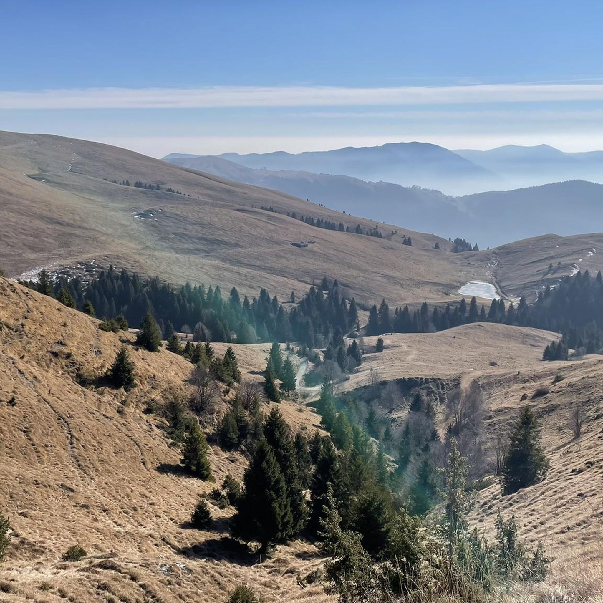
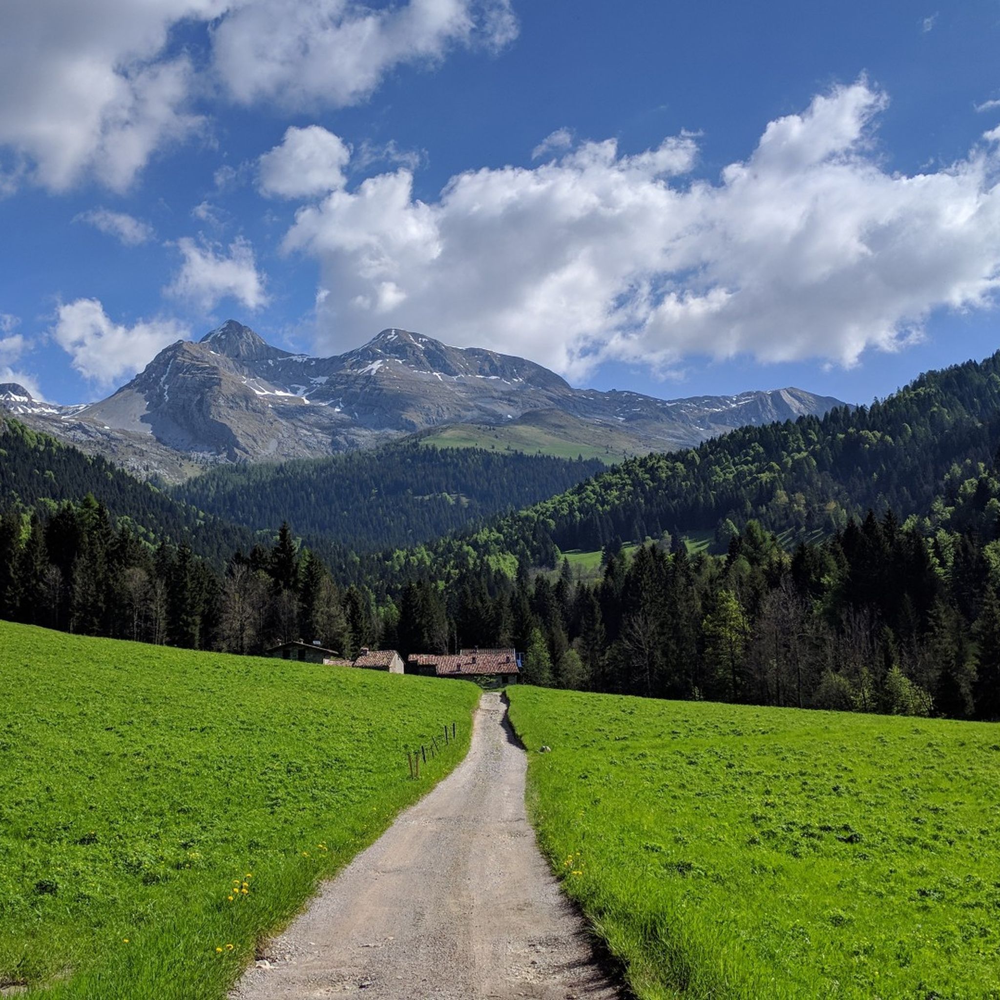
Il Passo degli Agnelli(1.950m)는 베르가모 현에 있는 프레솔라나 남쪽 벽 기슭에 위치한 그림 같은 파노라마 고개입니다. 주로 리노 올모 산장(Rifugio Rino Olmo)에서 또는 센티에로 델레 카프레(sentiero delle Capre)와 카시넬리 산장(Rifugio Cassinelli)을 포함하는 경로를 통해 접근할 수 있으며, 종종 하이킹과 샤모아를 위해 찾는 독특한 알파인 환경을 제공합니다.
0
0

Passo Olone is a mountain pass located in the Bergamo Prealps, near Castione della Presolana, in Lombardy. It is a popular destination for hikers, often reached via paths that pass by the Rino Olmo Refuge. The refuge, located at 1819 meters above sea level, is an excellent base for exploring the area and offers spectacular views of the surrounding mountains.
0
0
Passo degli Agnelli is located at 1950 meters above sea level, under the steep walls of the southern slope of Presolana. It is a spectacular panoramic point, easily reachable from Rifugio Rino Olmo. The hike to the pass offers splendid views of the surrounding mountains and can be part of a circular tour that includes Valle dei Mulini, Passo Olone and Rifugio Olmo. The trail crosses scree and woods, offering an immersive experience in the nature of the Bergamo Orobie
0
0
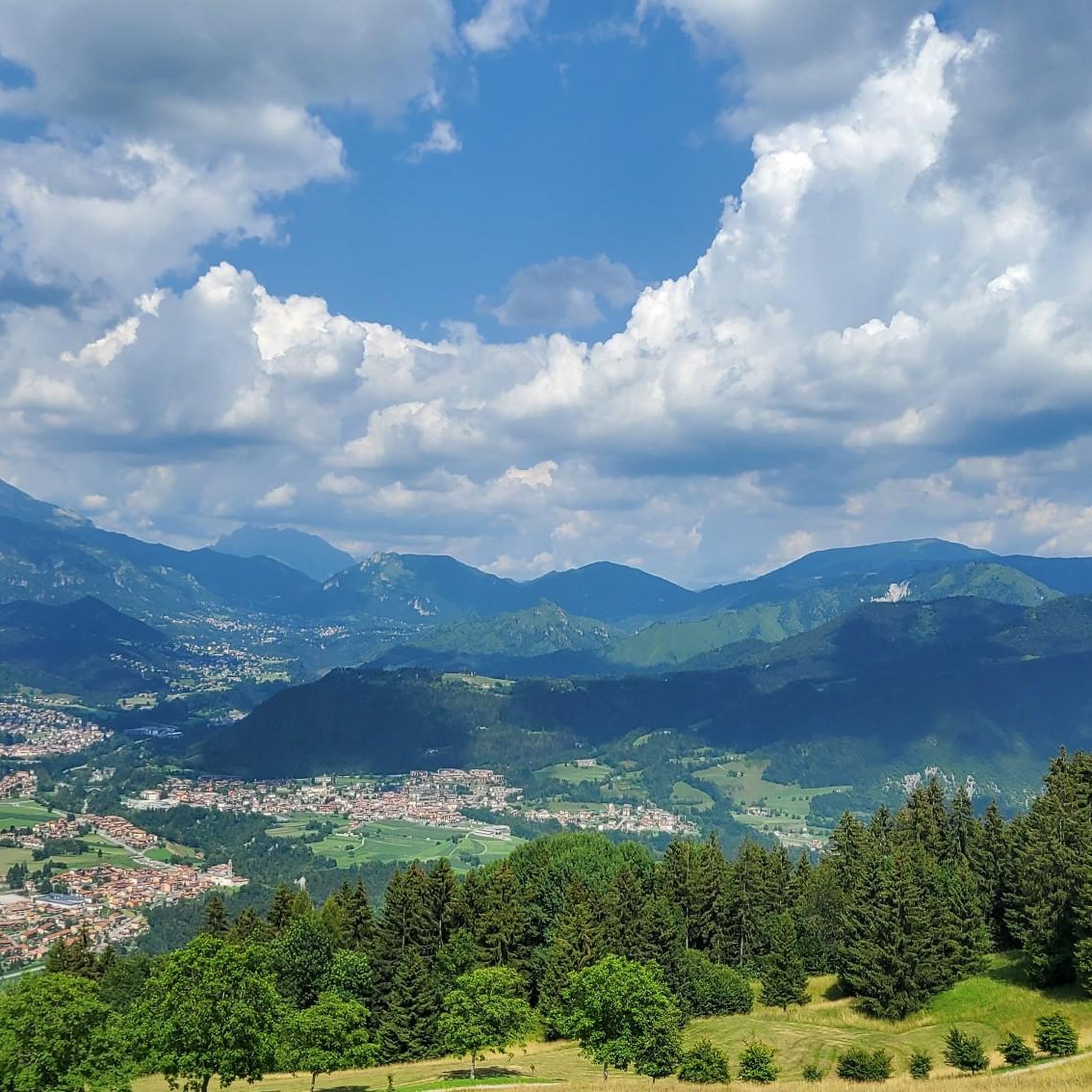
Forcella Larga is a pass located along the hiking trail that connects Pizzo Formico (1636 m) to Montagnina, in Val Gandino, province of Bergamo. It is a panoramic point much appreciated by hikers for its view of the Orobie Bergamasche and Val Seriana. Characteristics of Forcella Larga: Altitude: About 1470 meters. Access: Reachable via the CAI 549 path, which connects Monte Farno to the Rifugio Parafulmine. Panorama: View of Val Seriana, Val Gandino and the surrounding mountains. Support points: Capanna Ilaria, located near the fork. Recommended route: The most common path starts from Conca del Farno, crosses Montagnina and reaches Forcella Larga before continuing towards the summit of Pizzo Formico. It is an excursion suitable for those who have experience in the mountains and want to enjoy a breathtaking view.
0
0
Capanna Ilaria is located at 1470 meters above sea level, in the Forcella Larga area, along the hiking trail that leads to Pizzo Formico (1636 m). It is a reference point for hikers who cross the Montagnina and head towards Rifugio Parafulmine. Characteristics of Capanna Ilaria: Altitude: 1470 m. Location: Forcella Larga, along the CAI 549 trail. History: The hut is a historic ruin, often used as a rest point. Route: Connections with Pizzo Formico, Monte Farno and Rifugio Parafulmine. Panorama: View of Val Seriana, Val Gandino and the Orobie. From Pizzo Formico, Capanna Ilaria can be reached in about 30 minutes, following the trail that crosses the Montagnina. It is a perfect place for a break before continuing towards the refuge or the summit.
0
0

nice to pass by and ring the bell.
0
0

This climb is wonderful, the slopes are never too severe, making the climb very enjoyable.
20
0

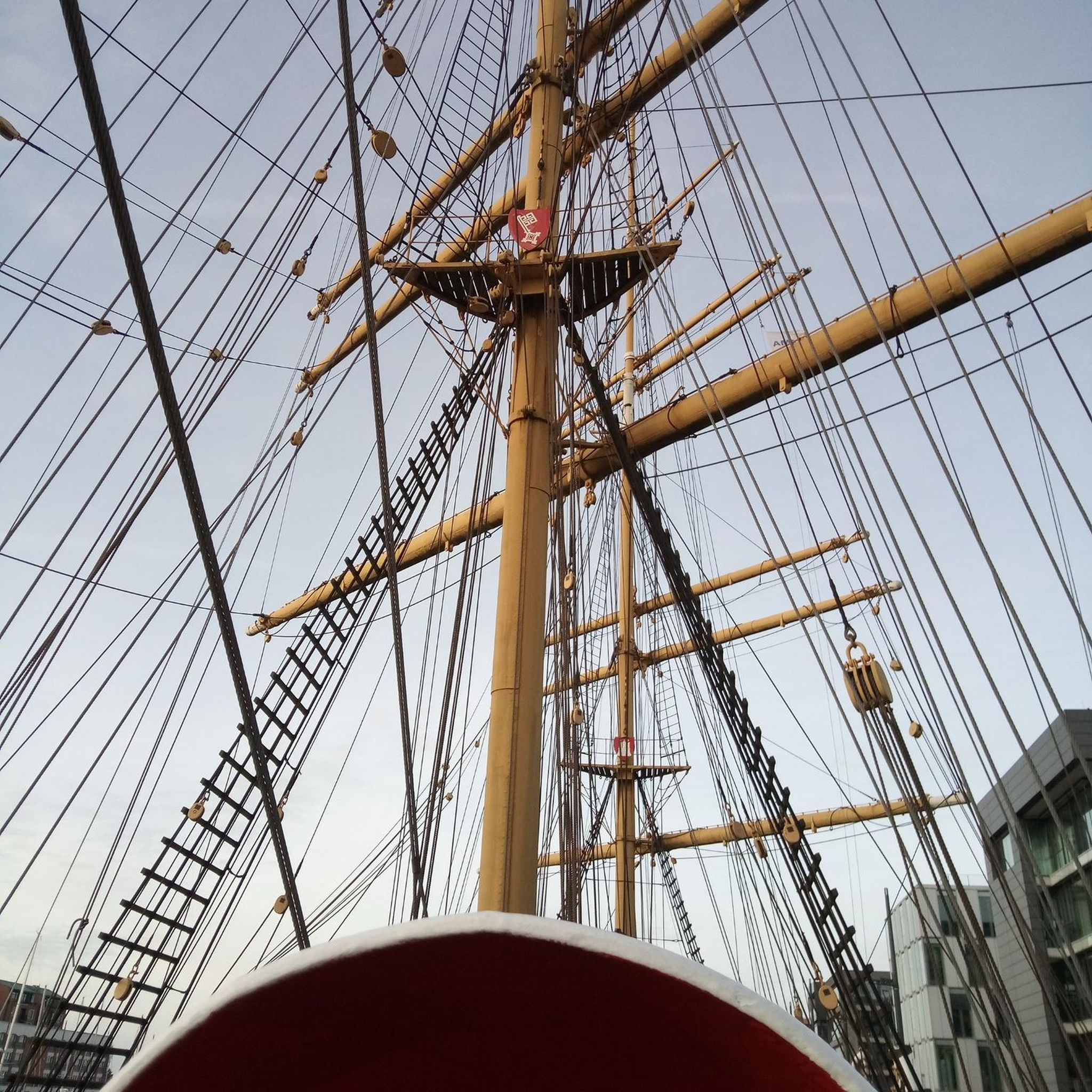
It is possible to enter the metal helix to pull the rope and ring the bell... I recommend not doing this with the dog in tow, he would be very scared!
0
0


더 살펴보기
이 가이드를 통해 더 많은 장대한 산악 통과를 확인해보세요 클루손 주변:
