피아리오에서 가장 멋진 12개의 산길
피아리오에서 가장 멋진 산길을 아래에서 살펴보세요. 풍경을 감상하기에도 좋고, 오르막길/내리막길을 따라 걷기에도 좋은 곳이랍니다. 커뮤니티가 특별 도움을 통해 공유한 콘텐츠인 만큼 믿을 수 있는 정보이니 마음에 드는 산길이 있다면 바로 다음 모험 계획에 추가해서 바로 방문해보세요.
마지막 업데이트: 10월 13, 2026
포르첼라 라르가의 테르조 밀레니오 종
하이라이트 • 기념물
번역자 Google •
팁에 의해


이런 장소를 발견하려면 지금 가입하세요
최고의 싱글 트랙, 봉우리 및 다양한 흥미로운 야외 장소에 대한 추천을 받아보세요.


발주리오 피크닉 구역
하이라이트 • 휴식 공간
An excellent place to take a break in the shade during a summer walk, but also a destination …
번역자 Google •
팁에 의해

무료로 가입하여 피아리오 주변의 더 많은 산악 고개를 발견하세요.
이미 komoot 계정이 있나요?
오늘 무료 계정으로 시작하세요
다음 모험이 기다리고 있어요.
커뮤니티 팁

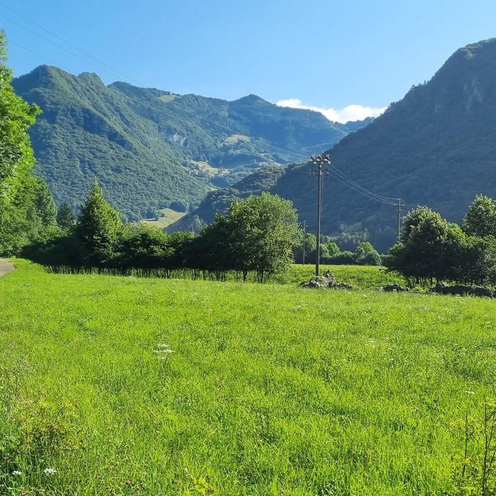
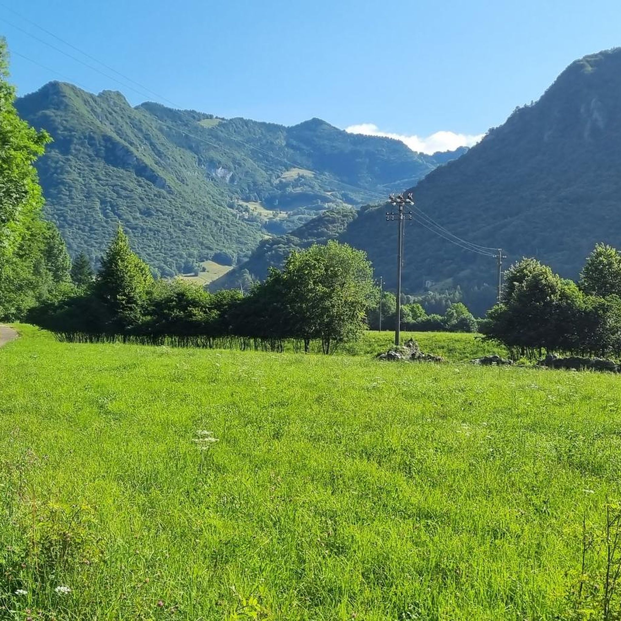
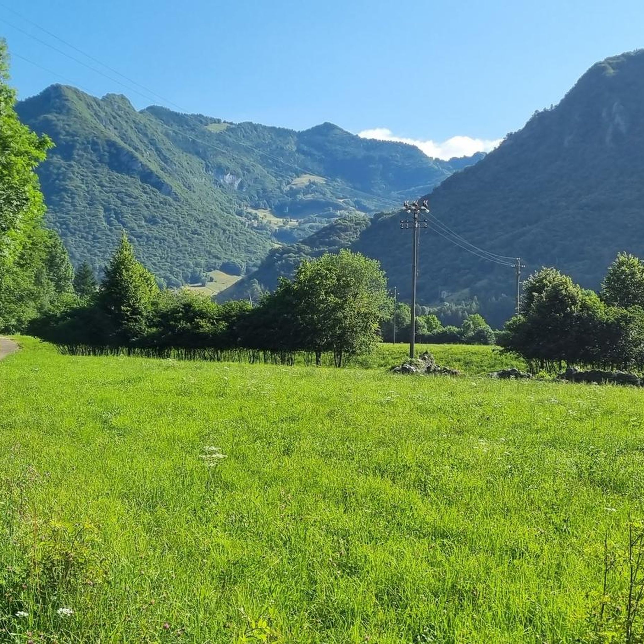
Valzurio and the Moschèl huts and further up Mount Blum
0
0

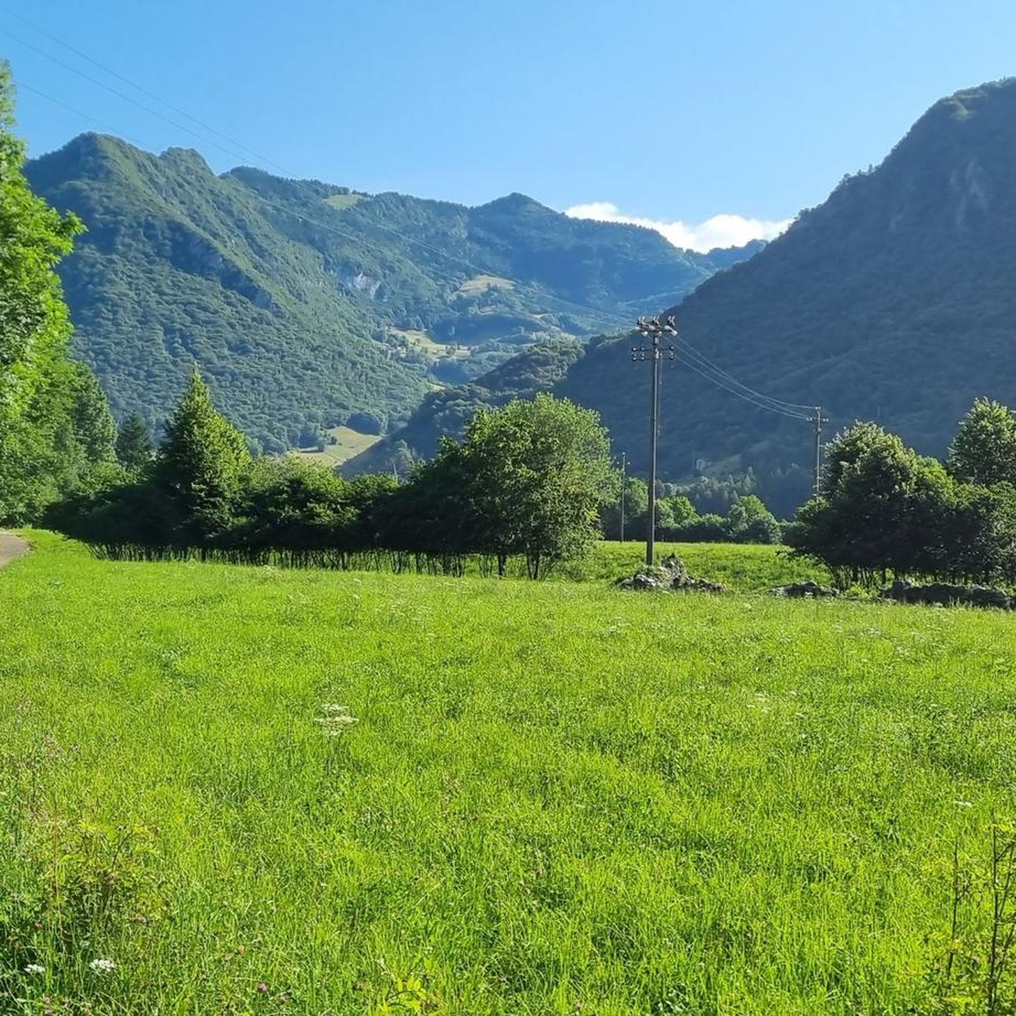
A panoramic pass overlooking the Arera massif, which on the north side has a Dolomite-style appearance. The trail is strenuous but easy, with no dangers. The pass is wide and offers several places to rest and enjoy the scenery.
2
0

Equipped picnic area ideal for a break before reaching the Moschel huts
0
0
Forcella Larga is a pass located along the hiking trail that connects Pizzo Formico (1636 m) to Montagnina, in Val Gandino, province of Bergamo. It is a panoramic point much appreciated by hikers for its view of the Orobie Bergamasche and Val Seriana. Characteristics of Forcella Larga: Altitude: About 1470 meters. Access: Reachable via the CAI 549 path, which connects Monte Farno to the Rifugio Parafulmine. Panorama: View of Val Seriana, Val Gandino and the surrounding mountains. Support points: Capanna Ilaria, located near the fork. Recommended route: The most common path starts from Conca del Farno, crosses Montagnina and reaches Forcella Larga before continuing towards the summit of Pizzo Formico. It is an excursion suitable for those who have experience in the mountains and want to enjoy a breathtaking view.
0
0
Capanna Ilaria is located at 1470 meters above sea level, in the Forcella Larga area, along the hiking trail that leads to Pizzo Formico (1636 m). It is a reference point for hikers who cross the Montagnina and head towards Rifugio Parafulmine. Characteristics of Capanna Ilaria: Altitude: 1470 m. Location: Forcella Larga, along the CAI 549 trail. History: The hut is a historic ruin, often used as a rest point. Route: Connections with Pizzo Formico, Monte Farno and Rifugio Parafulmine. Panorama: View of Val Seriana, Val Gandino and the Orobie. From Pizzo Formico, Capanna Ilaria can be reached in about 30 minutes, following the trail that crosses the Montagnina. It is a perfect place for a break before continuing towards the refuge or the summit.
0
0

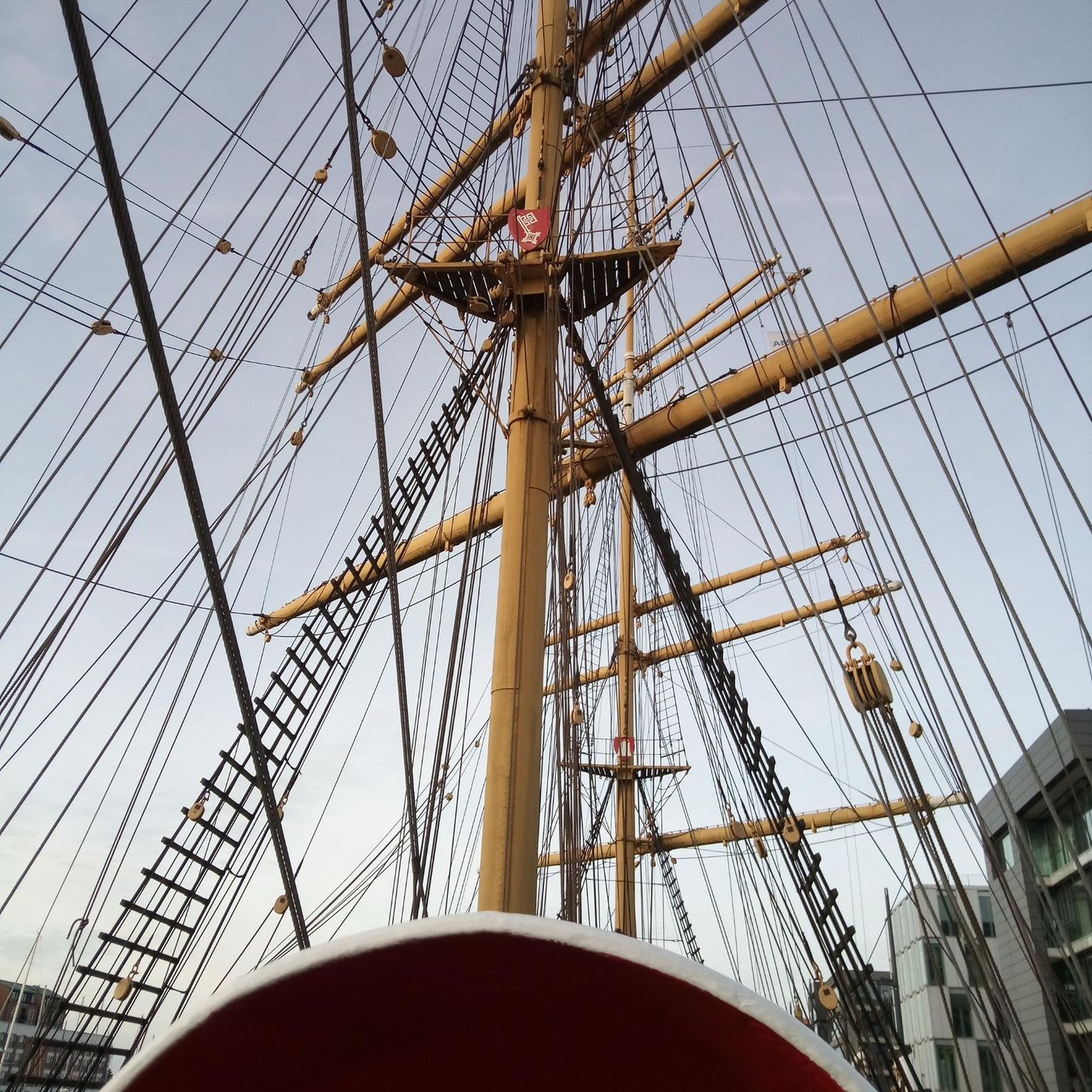
nice to pass by and ring the bell.
0
0

Tiring route for mountain biking, there's a lot to push but that's the beauty of struggling to sweat up to the summit you've aimed for... in spite of those who have it easy on an e-bike 😜😅
0
0

This climb is wonderful, the slopes are never too severe, making the climb very enjoyable.
20
0
피아리오 주변에서 가장 인기 있는 명소


더 살펴보기
이 가이드를 통해 더 많은 장대한 산악 통과를 확인해보세요 피아리오 주변:
