블렐로에서 가장 멋진 20개의 산길
블렐로에서 가장 멋진 산길을 아래에서 살펴보세요. 풍경을 감상하기에도 좋고, 오르막길/내리막길을 따라 걷기에도 좋은 곳이랍니다. 커뮤니티가 특별 도움을 통해 공유한 콘텐츠인 만큼 믿을 수 있는 정보이니 마음에 드는 산길이 있다면 바로 다음 모험 계획에 추가해서 바로 방문해보세요.
마지막 업데이트: 10월 13, 2026


이런 장소를 발견하려면 지금 가입하세요
최고의 싱글 트랙, 봉우리 및 다양한 흥미로운 야외 장소에 대한 추천을 받아보세요.
페르투스 작은 호수
하이라이트 • 호수
번역자 Google •
팁에 의해


San Gottardo에서 Passo di Valcava로 오르는 길
하이라이트 (구간) • 등반
번역자 Google •
팁에 의해

무료로 가입하여 블렐로 주변의 더 많은 산악 고개를 발견하세요.
이미 komoot 계정이 있나요?
오늘 무료 계정으로 시작하세요
다음 모험이 기다리고 있어요.


커뮤니티 팁


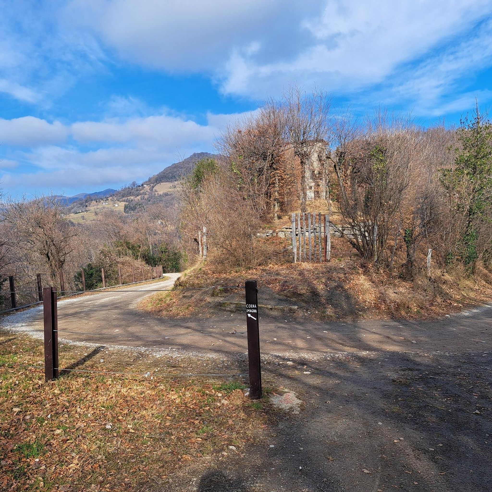
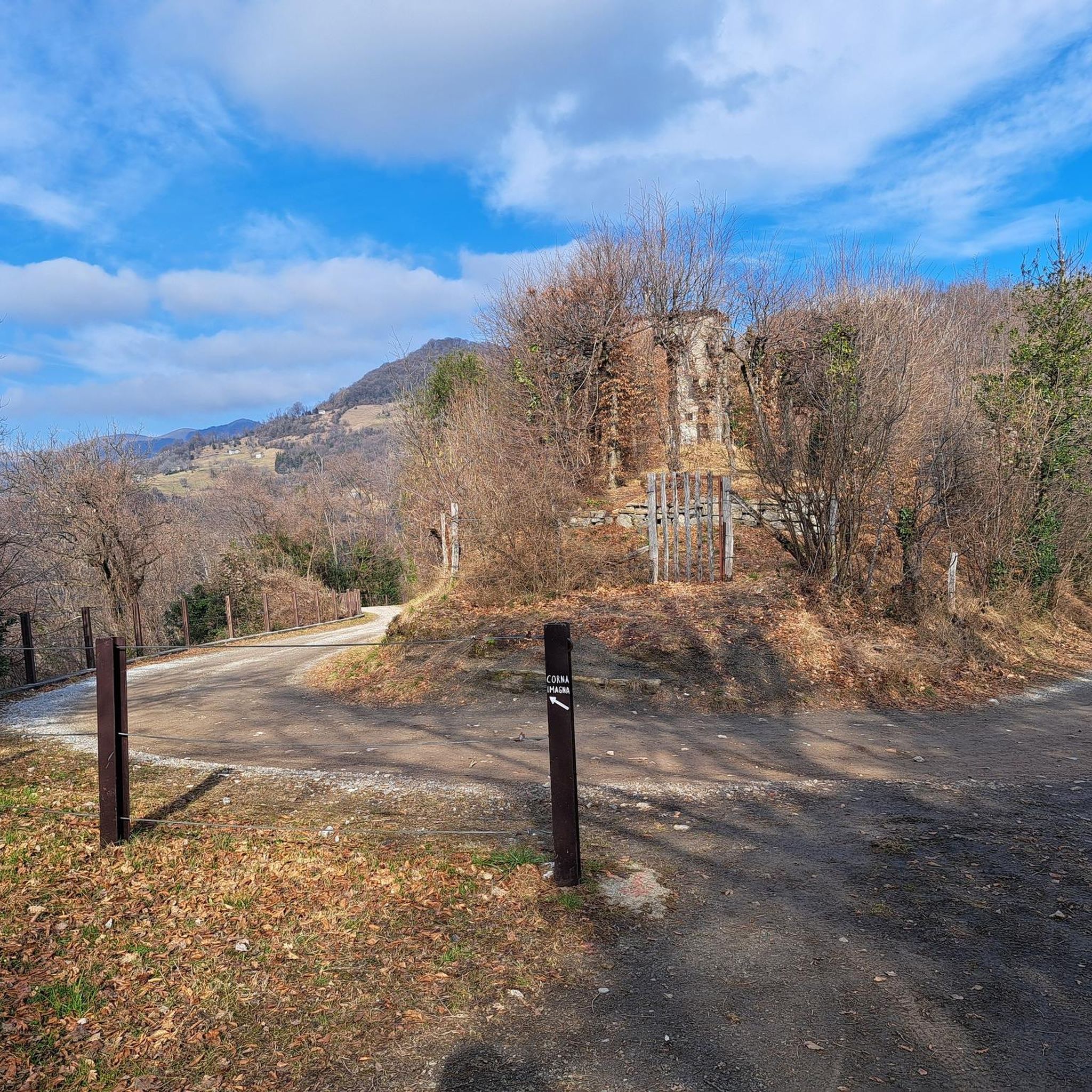
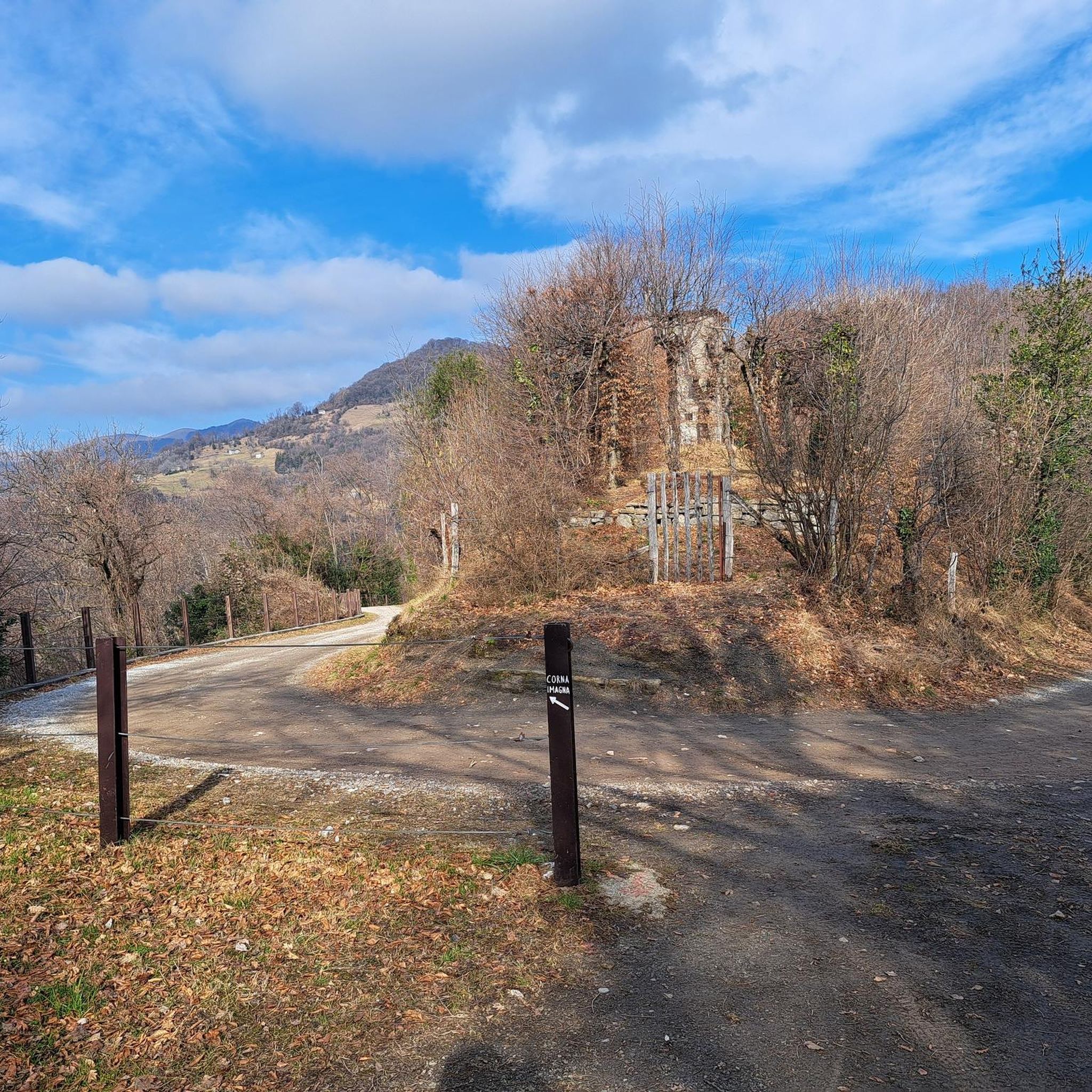
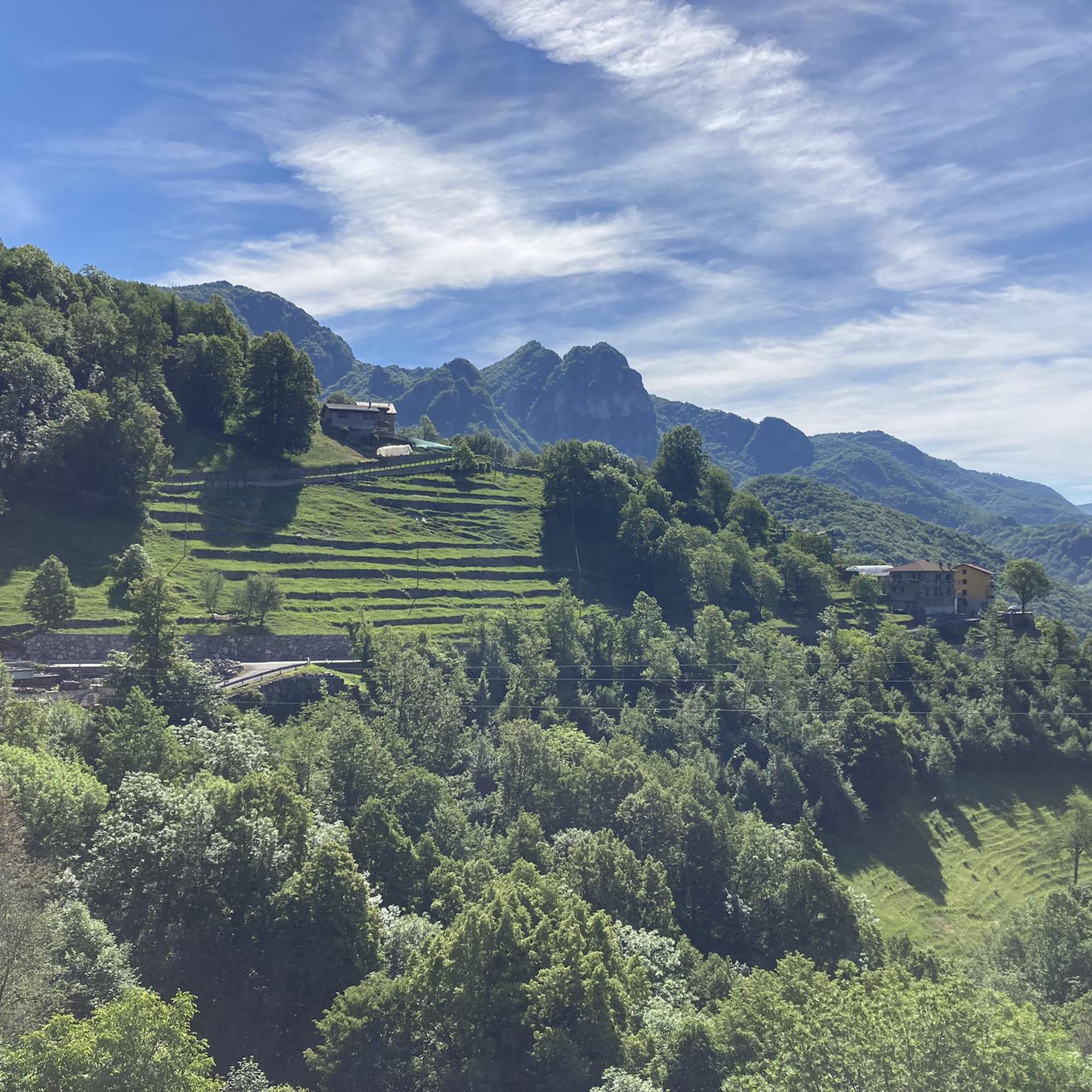
Summit arrival point of the climb from Morterone and pass with the Imagna valley. The historic path that connects with Brumano passed through here. If you climb from Morterone this is where your efforts end.
0
0

The final stages of the 1986 cycling season: the Giro di Lombardia is on stage, Gianbattista Baronchelli challenges Sean Kelly, winner that year of Milan-Sanremo and Paris-Roubaix, and Laurent Fignon, who had won the Flèche Wallonne and already had two Tours de France in his palmares. As per tradition, the riders tackle the climb of the Madonna del Ghisallo, but immediately after there is an unprecedented one, which is known to be tough but until you are there suffering it is difficult to understand how much. It is the Valico di Valcava: the riders tackle it with a good 100 km to go but the selection is still very clear. Fignon goes into a deep crisis, on the hardest stretch he has to put his foot down, he is exhausted and has to withdraw. At the top there are only 4 left, with Baronchelli and Kelly there are also Flavio Giupponi and Acacio Da Silva, on which Phil Anderson and Leo Schönenberger will also return on the descent. The 6 will remain together until the arrival in Milan, when Gibi Baronchelli will make everyone agree with a splendid thrust as a finisher. In that autumn of 1986, the Giro di Lombardia and Italy discovered the Valico di Valcava, a true balcony over Lombardy, which would remain a point of reference for the Classica delle Foglie Morte until 1990. The climb, which measures a total of 11.8 km with an average gradient of 8%, begins about a thousand meters further down the valley than the town of Torre de’ Busi and connects the Valle San Martino (province of Lecco) with the Valle Imagna (province of Bergamo). The most lethal stretch of the climb, even harder because it comes after several kilometers of challenging climbing, is the wall that begins about 4 km from the pass: immediately after a right bend, the road climbs straight for 250-300 meters with a gradient of 18% (announced by the road sign before the bend), then continues with less extreme gradients, but still very challenging for about 2.5 km, with other stretches at 14% and 17%, and over 11% on average. It was precisely on that 18% stretch that Fignon got off his bike and climbed into the team car. The Giro d'Italia only got to know him in 2012, in the 15th stage that took the group from Busto Arsizio to Pian dei Resinelli. Source: https://www.giroditalia.it/valico-di-valcava/
3
0
Tough climb (peaks at 20%) and very long (about 14 km), but the satisfaction once at the top is immense. Recommended for everyone, but only with good training. ATTENTION: There is no water along the climb, nor fountains of any kind, so stock up well beforehand. At a certain point, 1 km before the end of the climb there is a fake fountain, but the water is not drinkable, it is written but it is easy to miss the sign, do not drink there. Sometimes at the top there is a kiosk with sandwiches, water and other things, highly recommended.
4
0

The climb on both asphalted sides is beautiful. The last part of the Bergamo side has a rough surface in some places.
2
0

The Perus lake is located at the pass of the same name (1300 m) which connects the San Martino Valley and the Imagna Valley. The name is in Bergamo dialect and means "hole", indicating a rather narrow passage. We talked about it during the gravel tour around Resegone in this article: https://outdoortest.it/resegone-360-con-la-bici-gravel/
2
0
The Palio Pass connects the Imagna valley with Valsassina. The pass is not very high, but offers a magnificent view of Resegone, Grigne and Zuccone Campelli. We talked about the gravel tour around Resegone here: https://outdoortest.it/resegone-360-con-la-bici-gravel/
1
0

From here it is possible to go down to Morterone or choose 2 different routes to Piani di Artavaggio. One is immediately after the pass going down towards Val Sassina. The other goes down to Avolasio in the Taleggio valley and deviates immediately after the small church.
3
0


더 살펴보기
이 가이드를 통해 더 많은 장대한 산악 통과를 확인해보세요 블렐로 주변:
